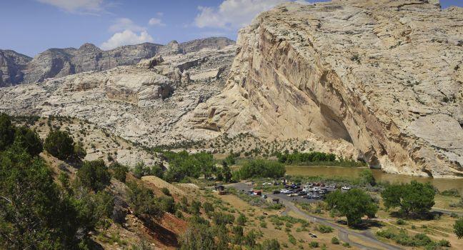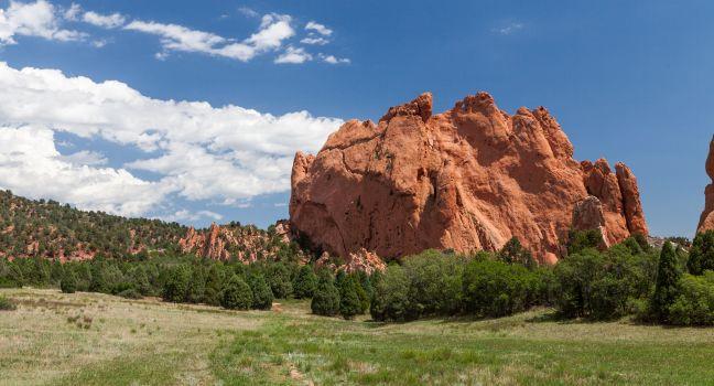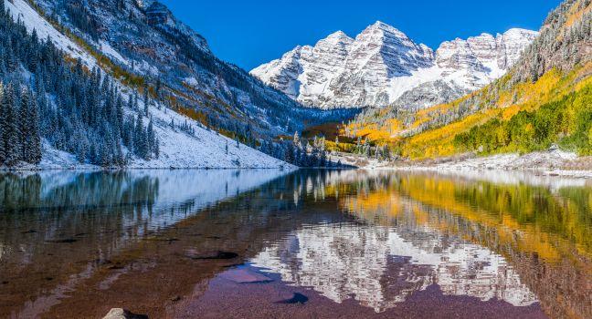
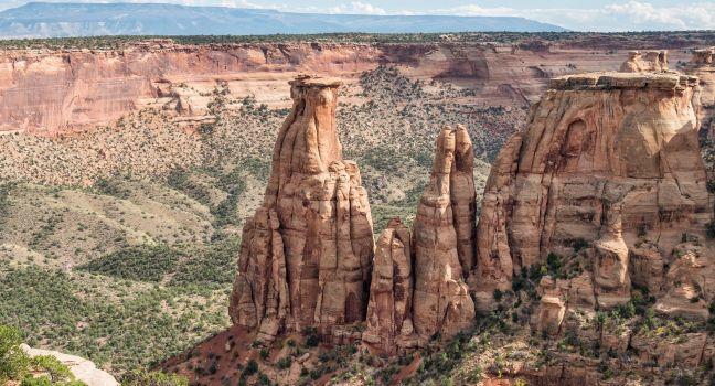
Colorado National Monument
Sheer red rock cliffs open to 23 miles of steep canyons and thin monoliths that sprout as high as 450 feet from the floor of Colorado National Monument. This vast tract of rugged, ragged terrain was declared a national monument in 1911 at the urging of an eccentric visionary named John Otto. Now it's popular for rock climbing, horseback riding, cross-country skiing, biking, and camping. Cold Shivers Point is just one of the many dramatic overlooks along Rim Rock Drive, a 23-mile scenic route with breathtaking views. The town of Fruita, at the base of Colorado National Monument, is a haven for mountain bikers and hikers. It makes a great center for exploring the area's canyons—whether from the seat of a bike or the middle of a raft, heading for a leisurely float trip.