


2023 : A Highland Odyssey
 Jun 7th, 2023 | 10:19 PM
#41


Joined: Jul 2006
Posts: 30,772
Likes: 4
This article might interest you, the largest asteroid to hit the UK
https://www.independent.co.uk/news/s...-a8951141.html
https://www.independent.co.uk/news/s...-a8951141.html
 Jun 8th, 2023 | 12:16 AM
#42
Original Poster

Joined: Oct 2005
Posts: 931
Likes: 28
Day 11 : Ullapool
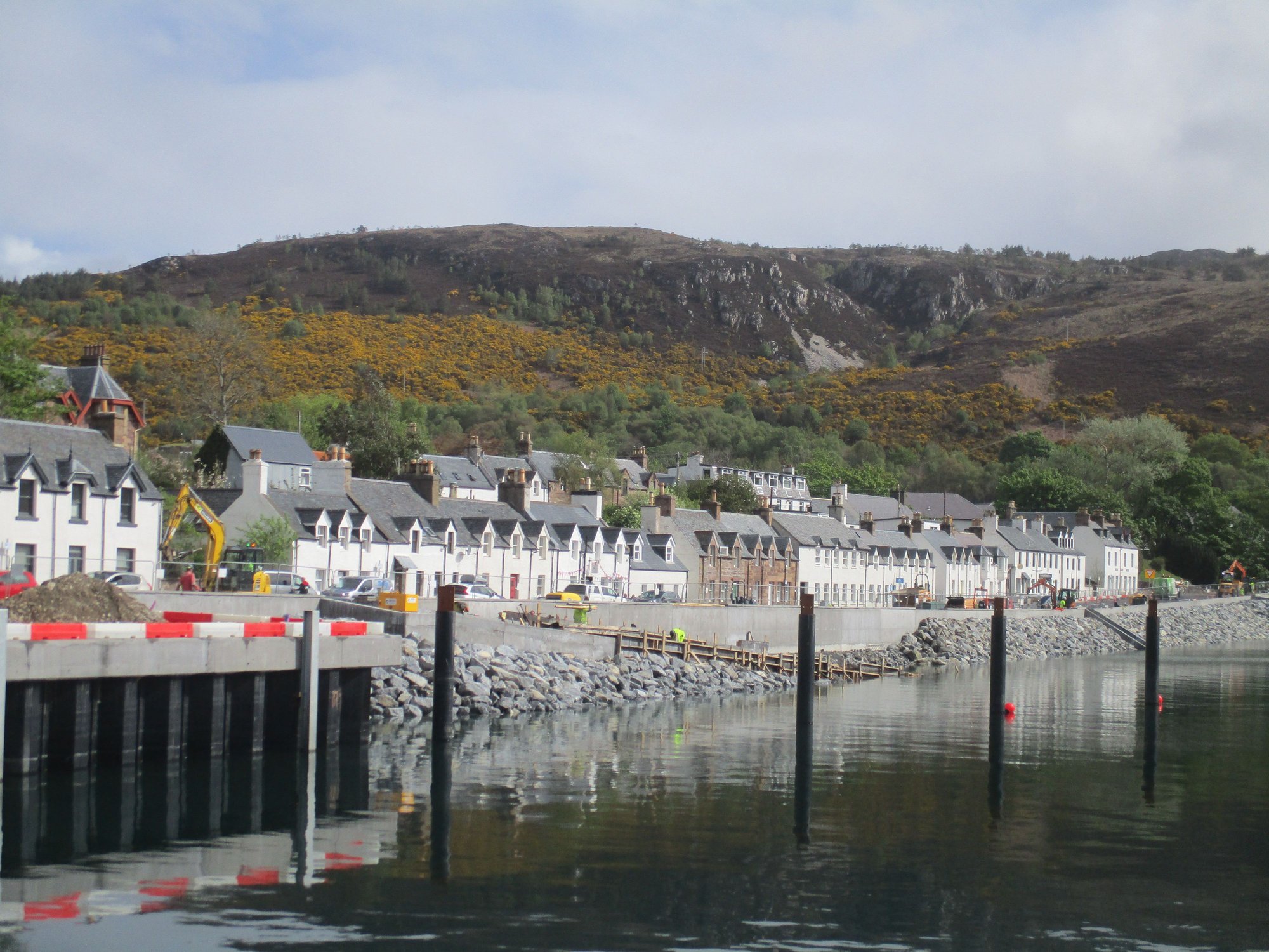
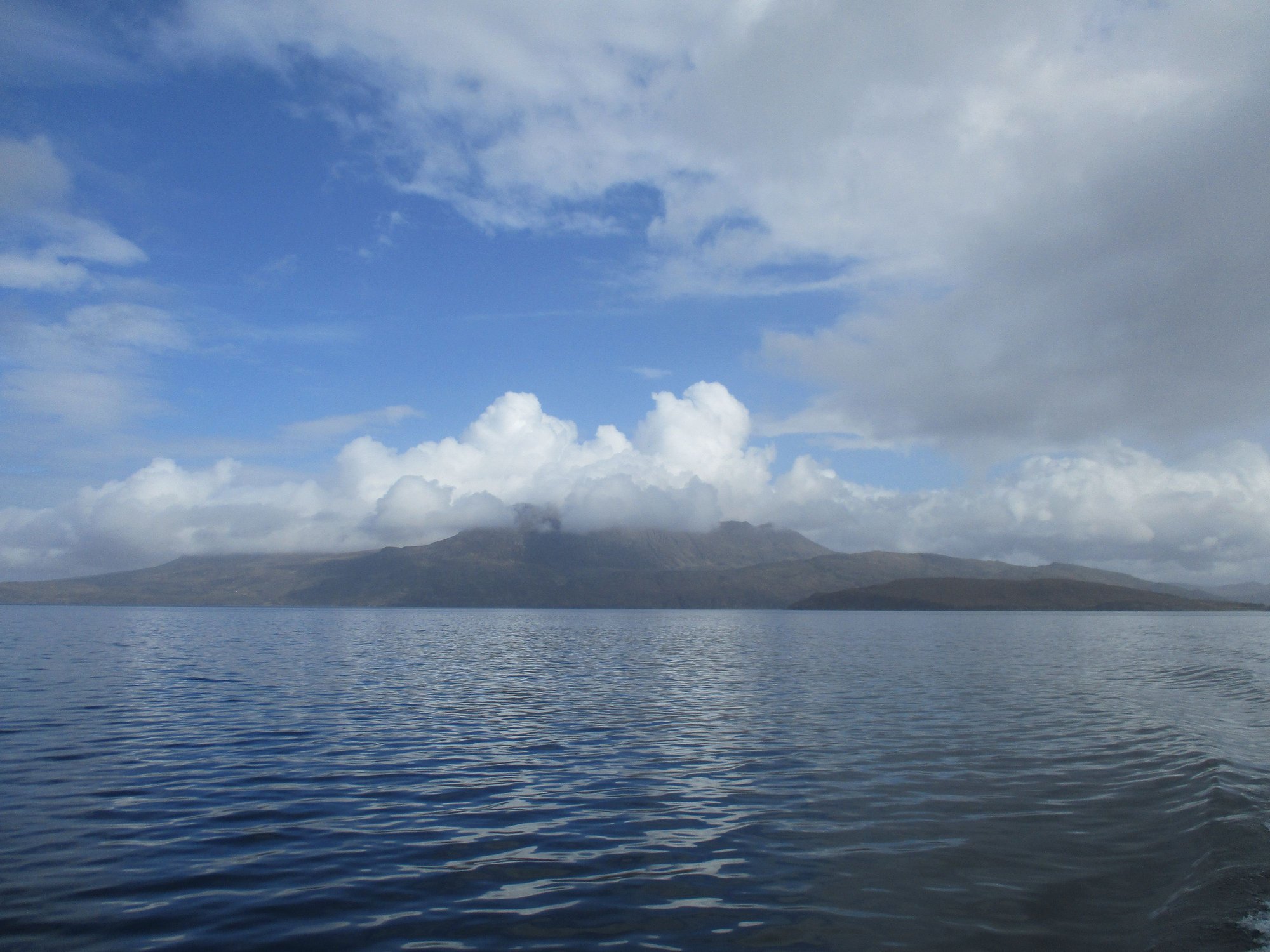
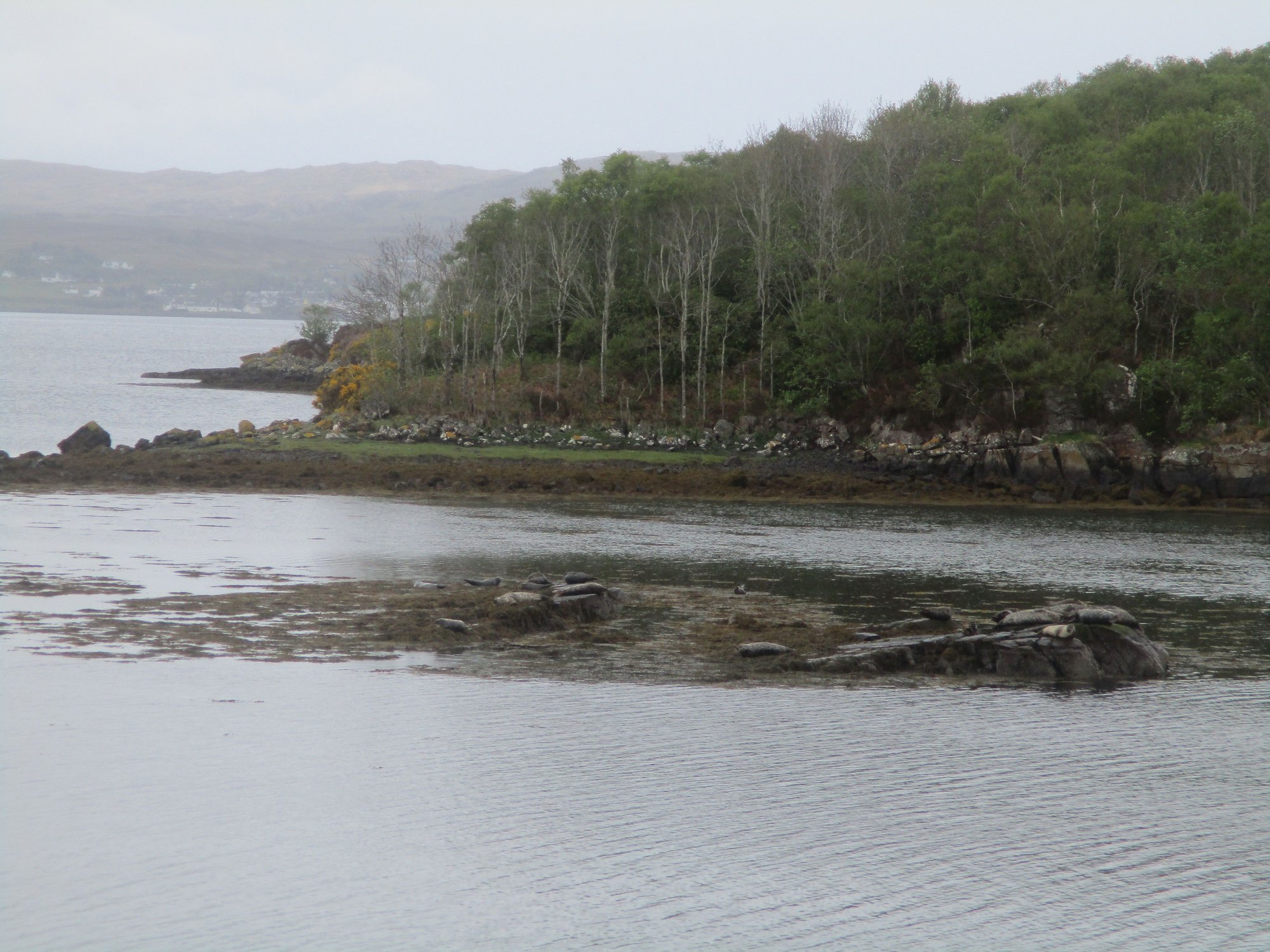
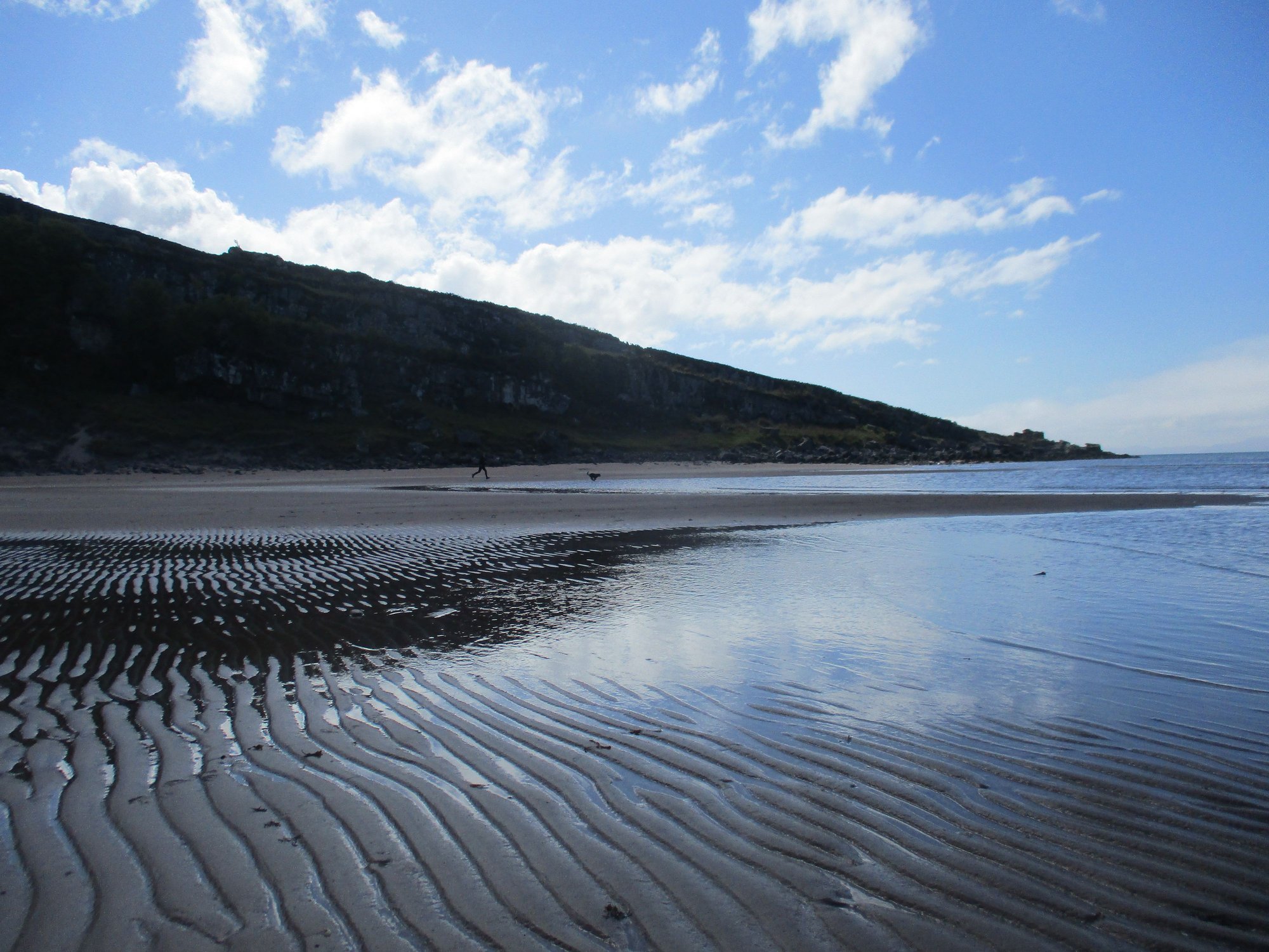
We had booked ourselves on a 2 hour cruise to the Summer Isles this morning. With about 20 passengers and a dog on board, the boat set sail towards this group of uninhabited islands near the mouth of Loch Broom.
Strolling around the harbour, while waiting to board
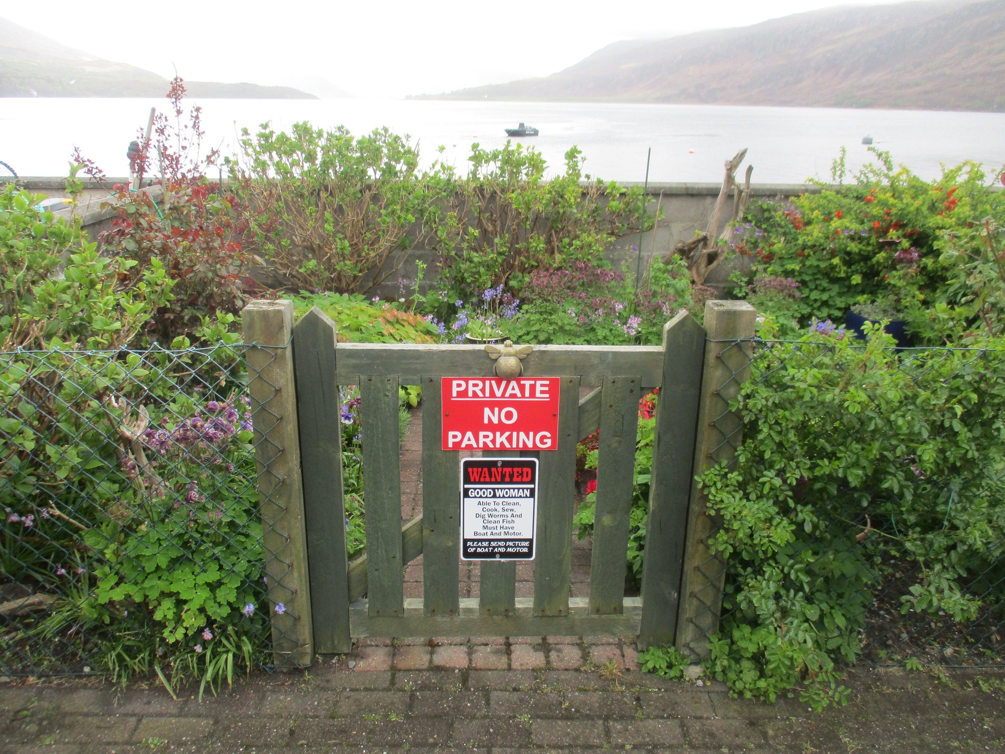
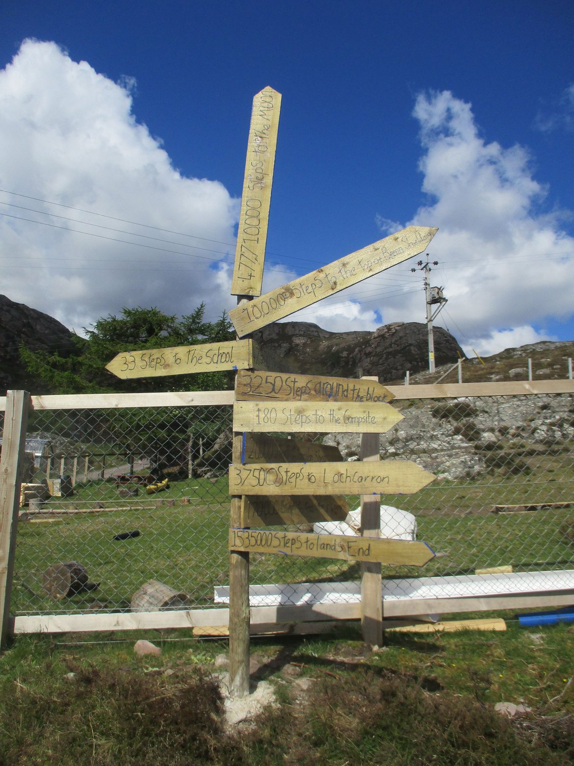
Funny gate signage along the harbour road
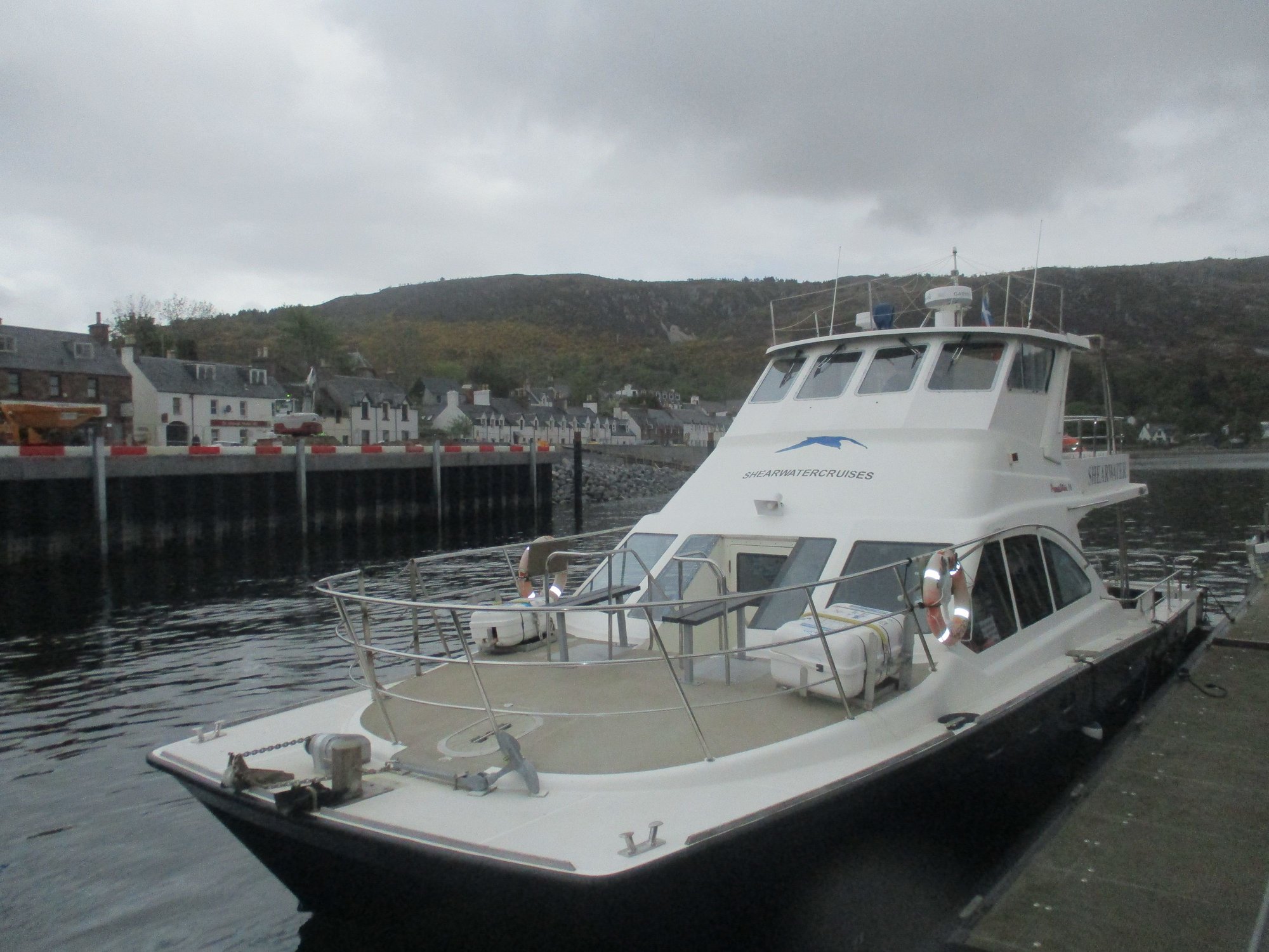
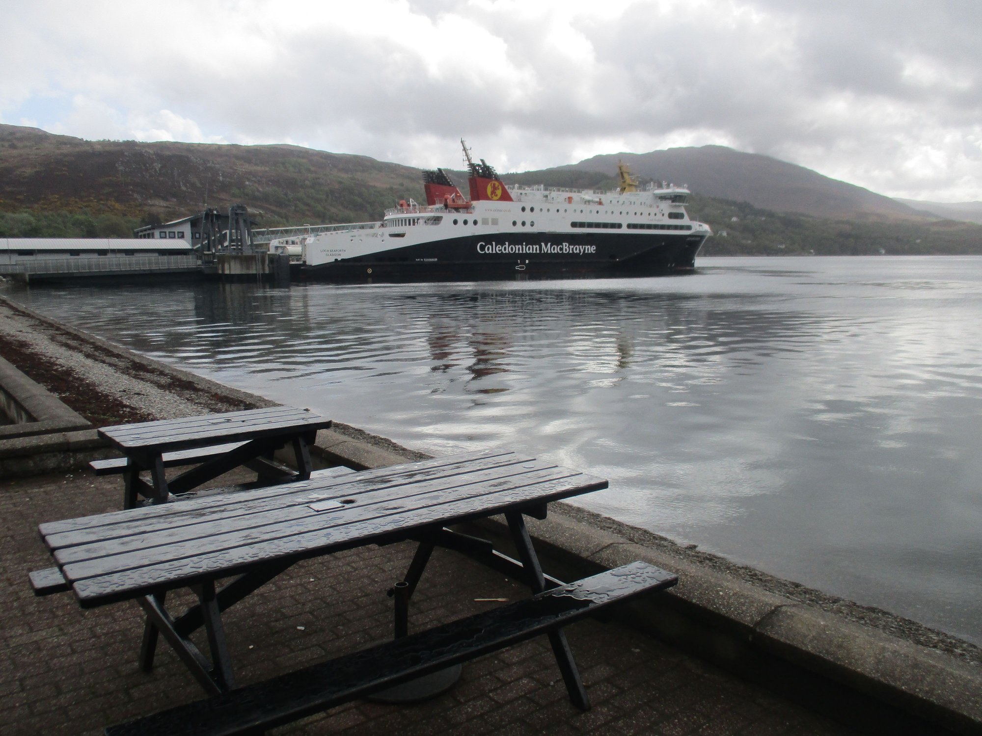
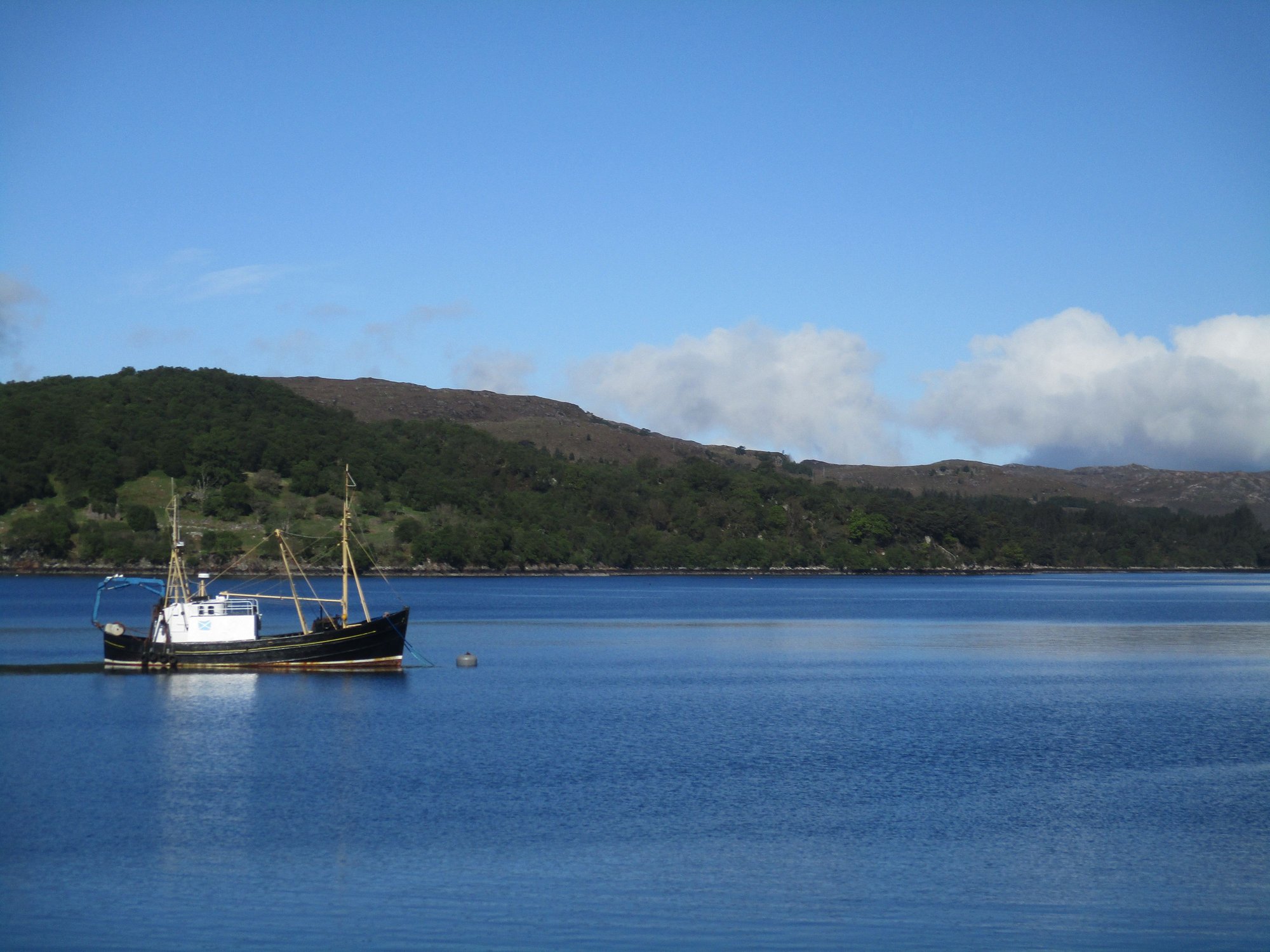
Our cruise boat
Departing from Ullapool
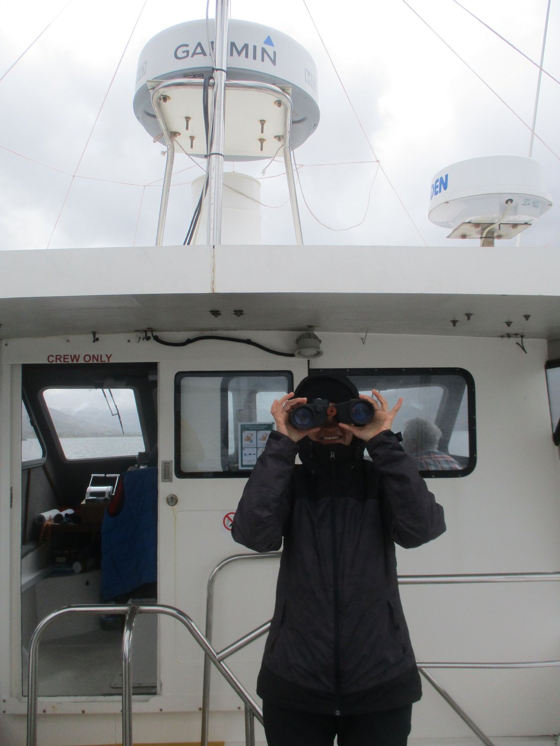
We had enjoyed some of these coastal views from the shore while driving through Coigach peninsula (en route to Ullapool, yesterday), but the views from the water provided an altogether different perspective. We enjoyed the cruise and spotted marine life (including seals and porpoises) and birds (including eagles). All this with informative and highly entertaining commentary from the hilariously funny navigator and guide (who also graciously lent us his pair of binoculars).
On board
Setting sail
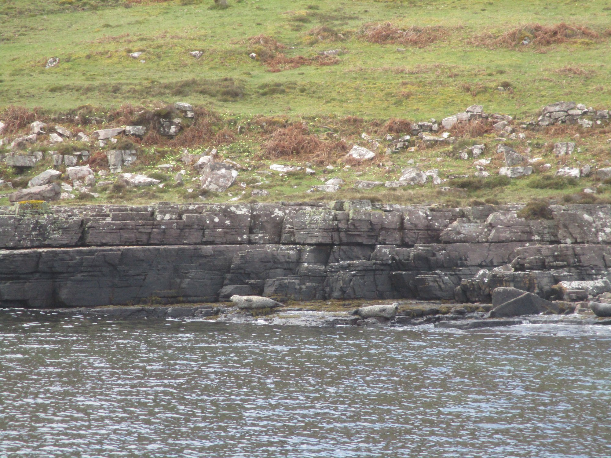
Seals

Birds on rocky ledge
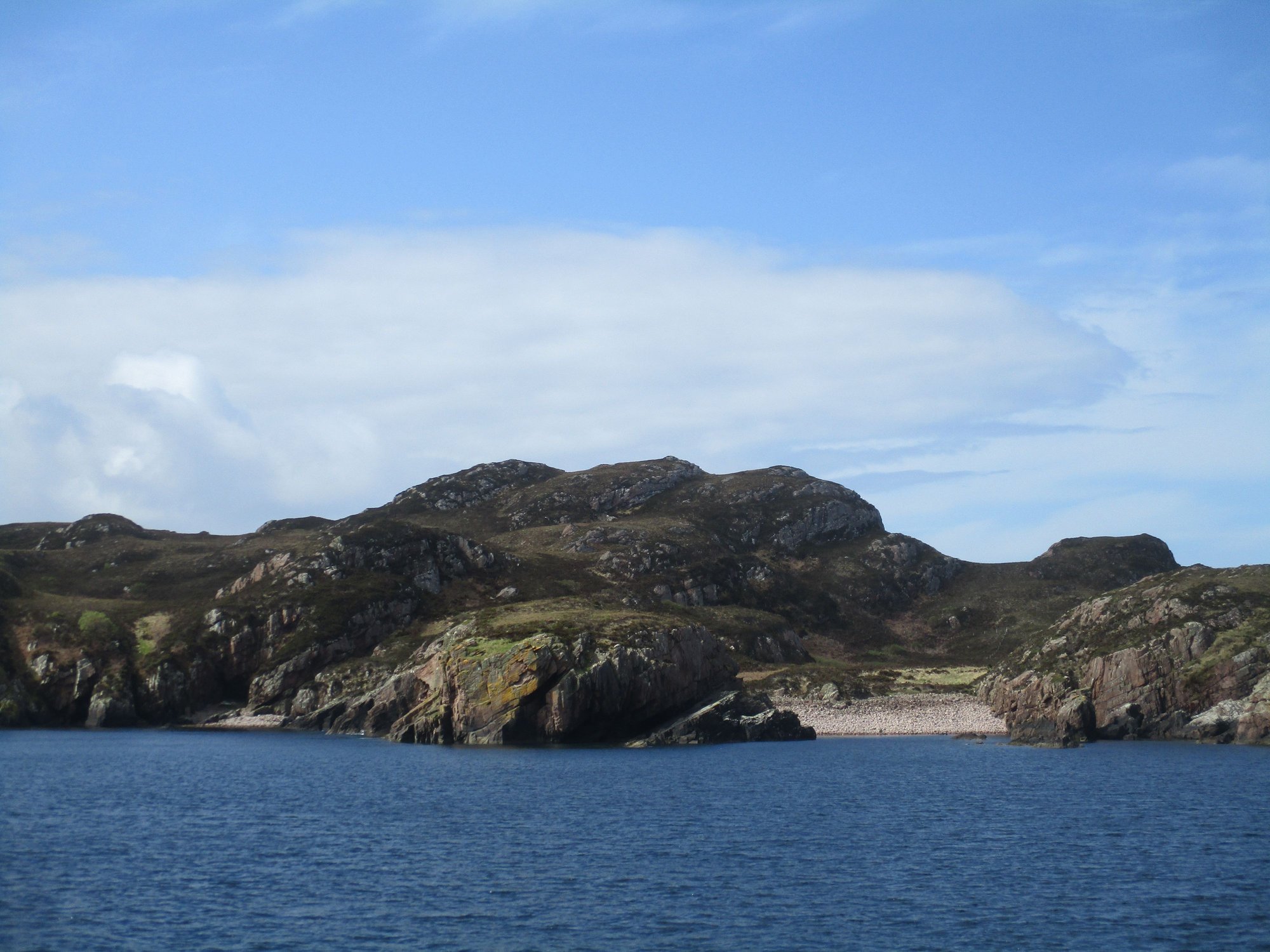
Pretty coves and beaches
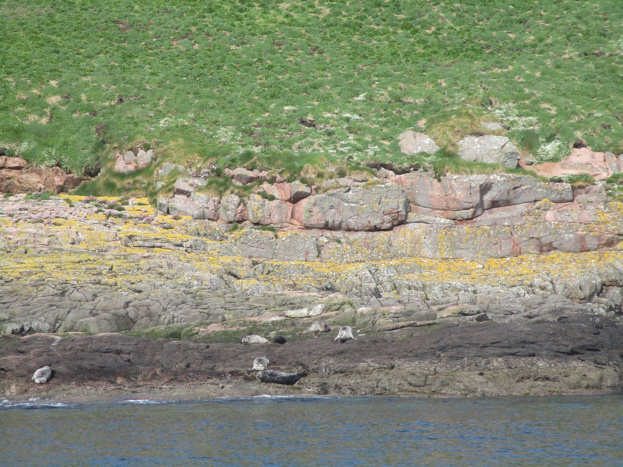
More seals
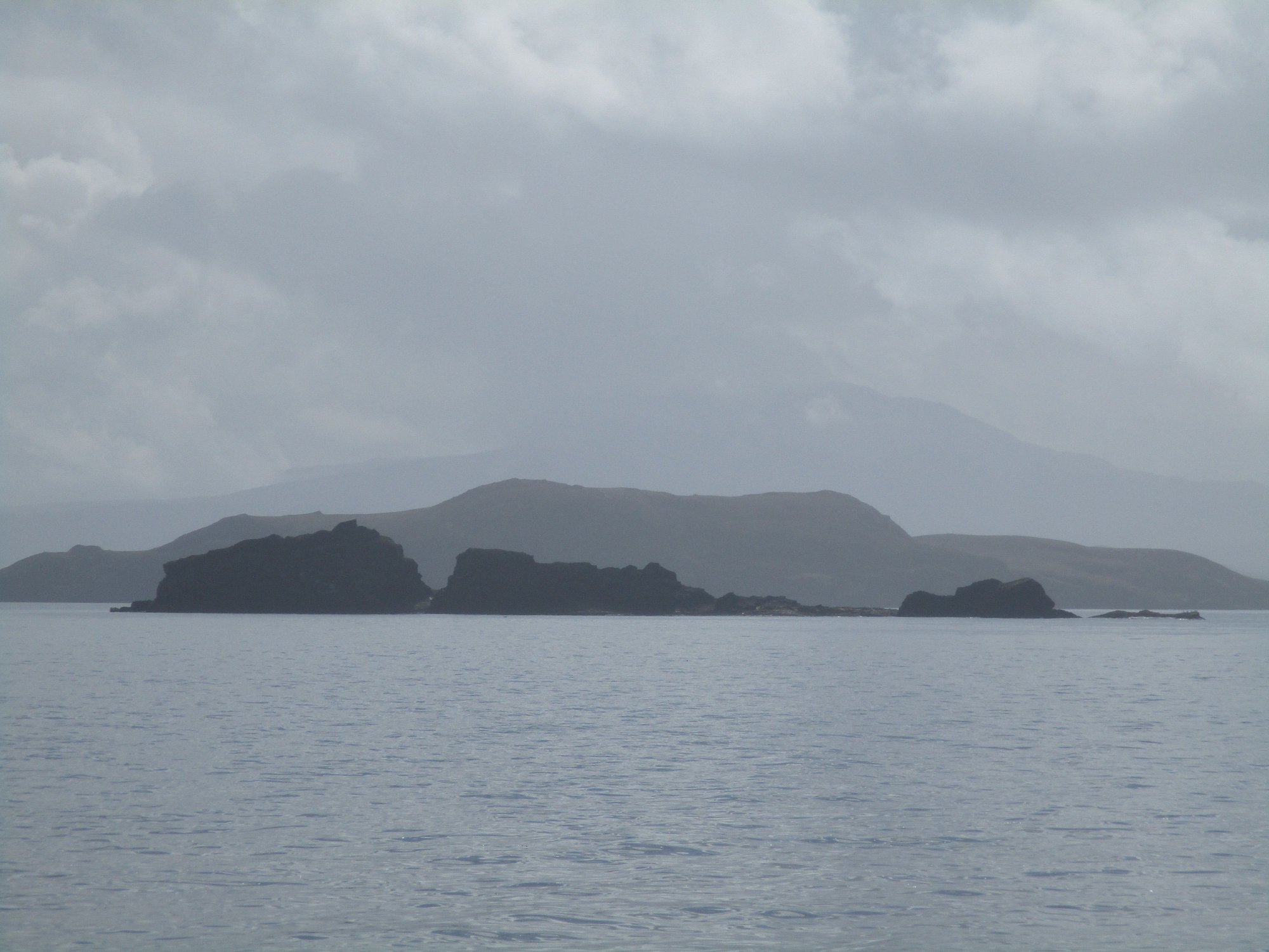
Views
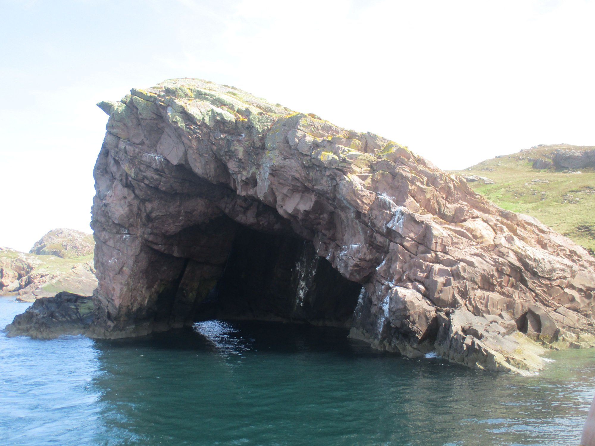
Sea Cave from outside
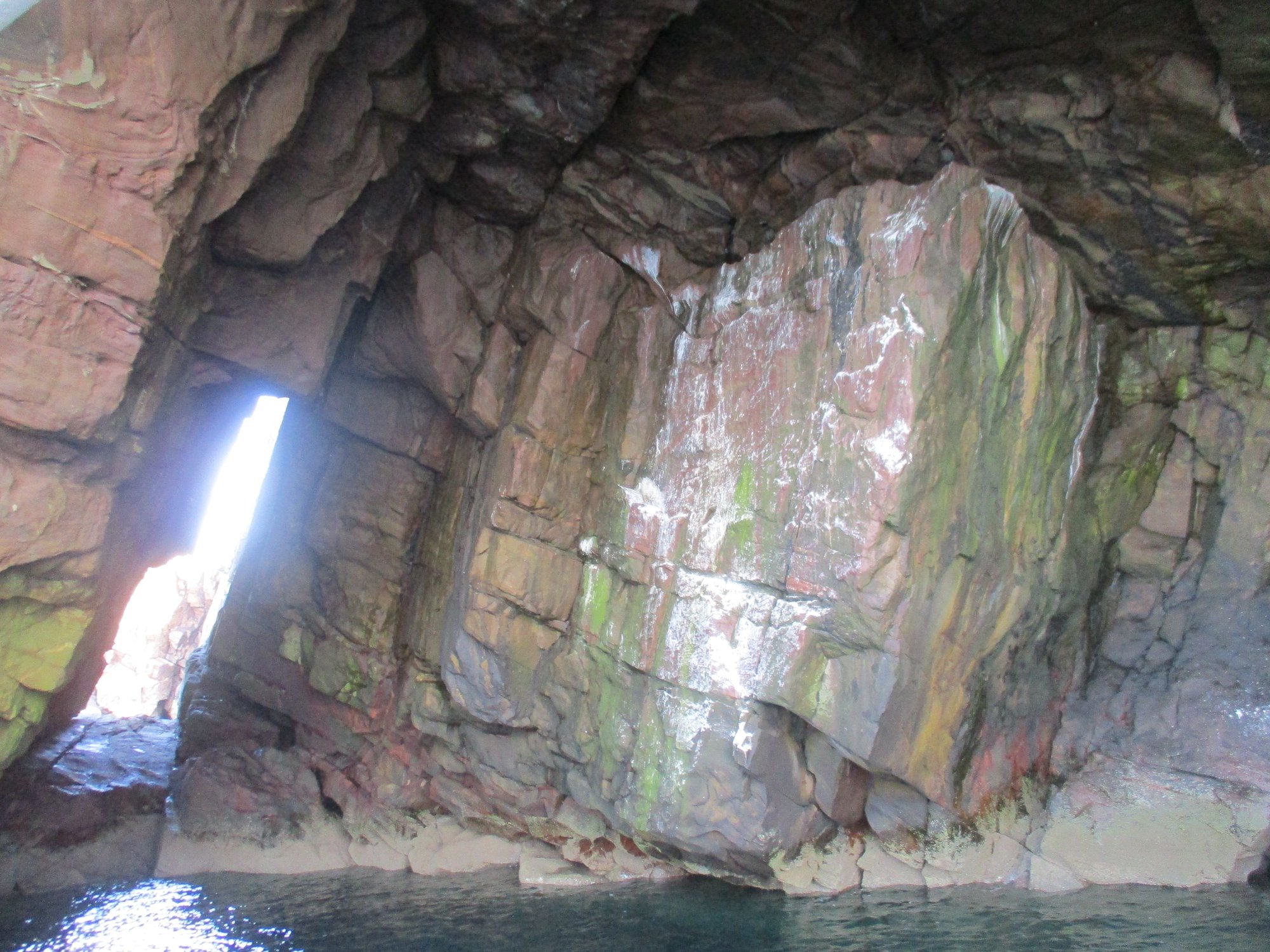
Within the sea cave, the boat backed up all the way inside !
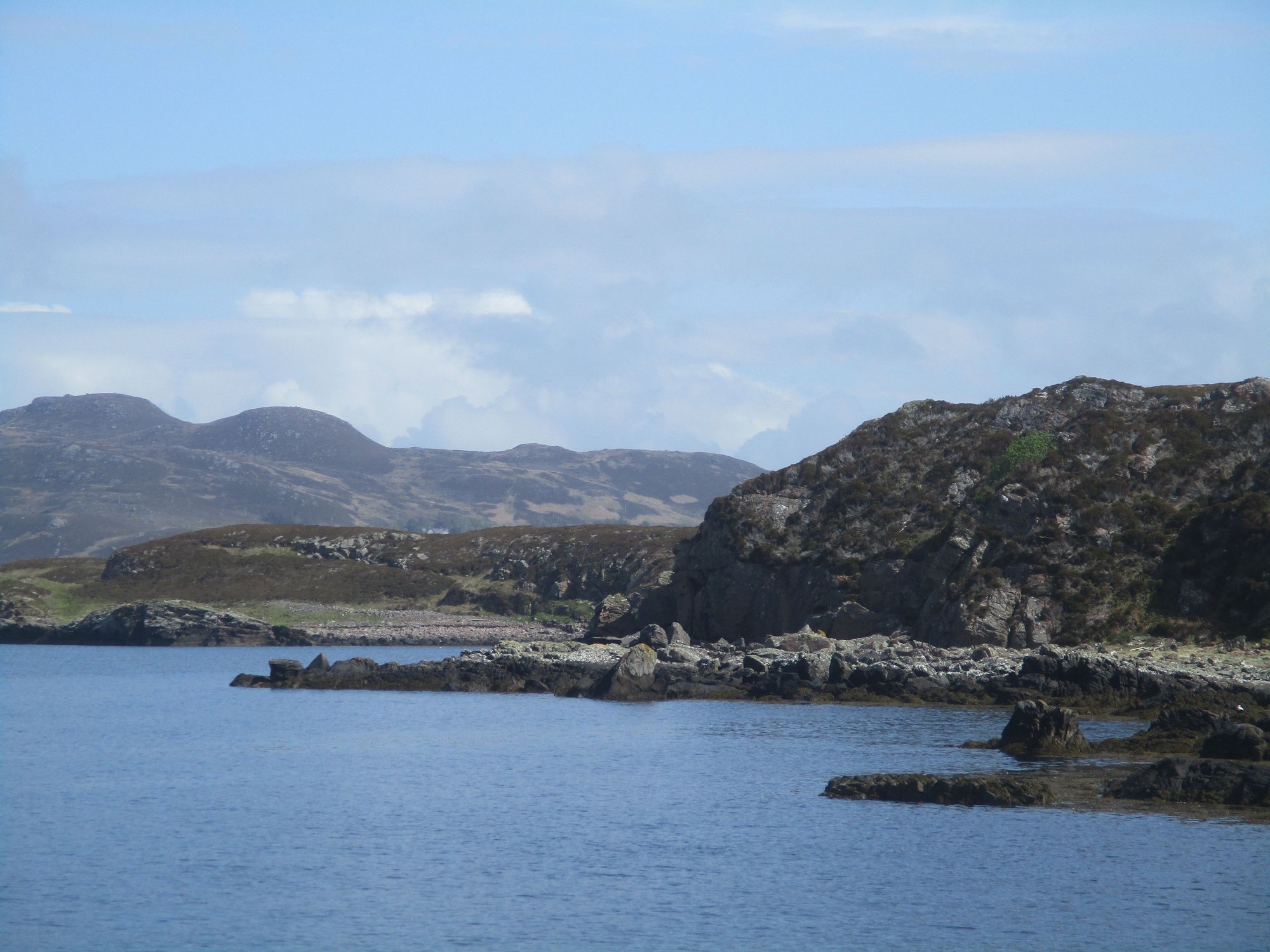
Coigach peninsula from the water
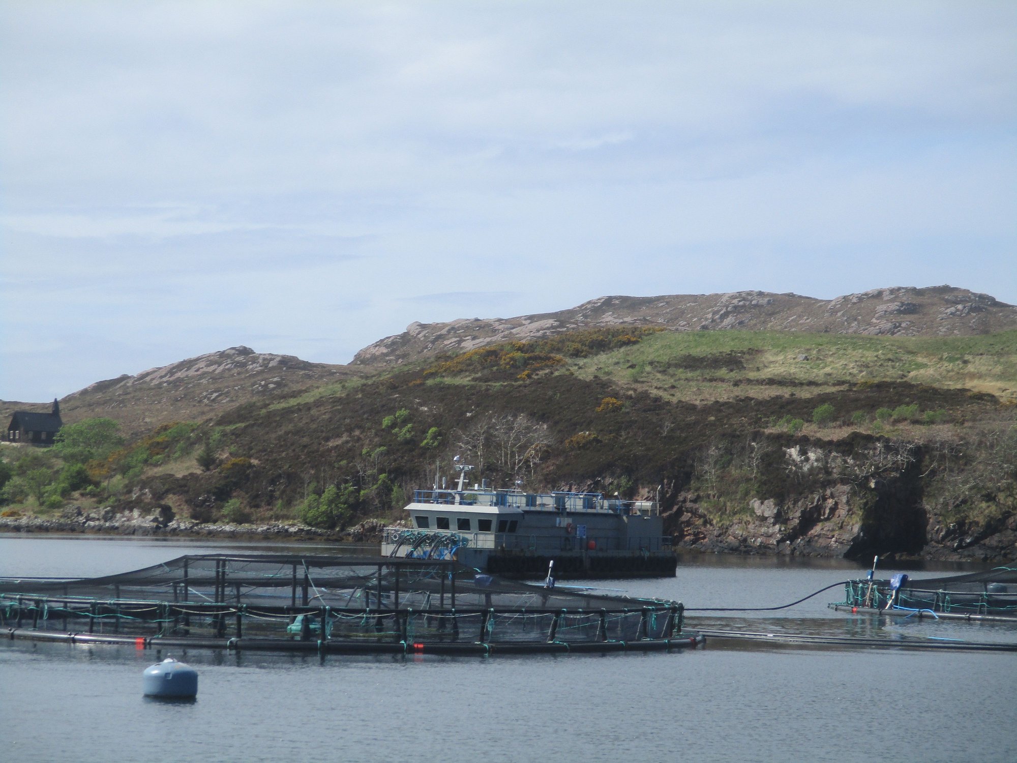
Salmon farms
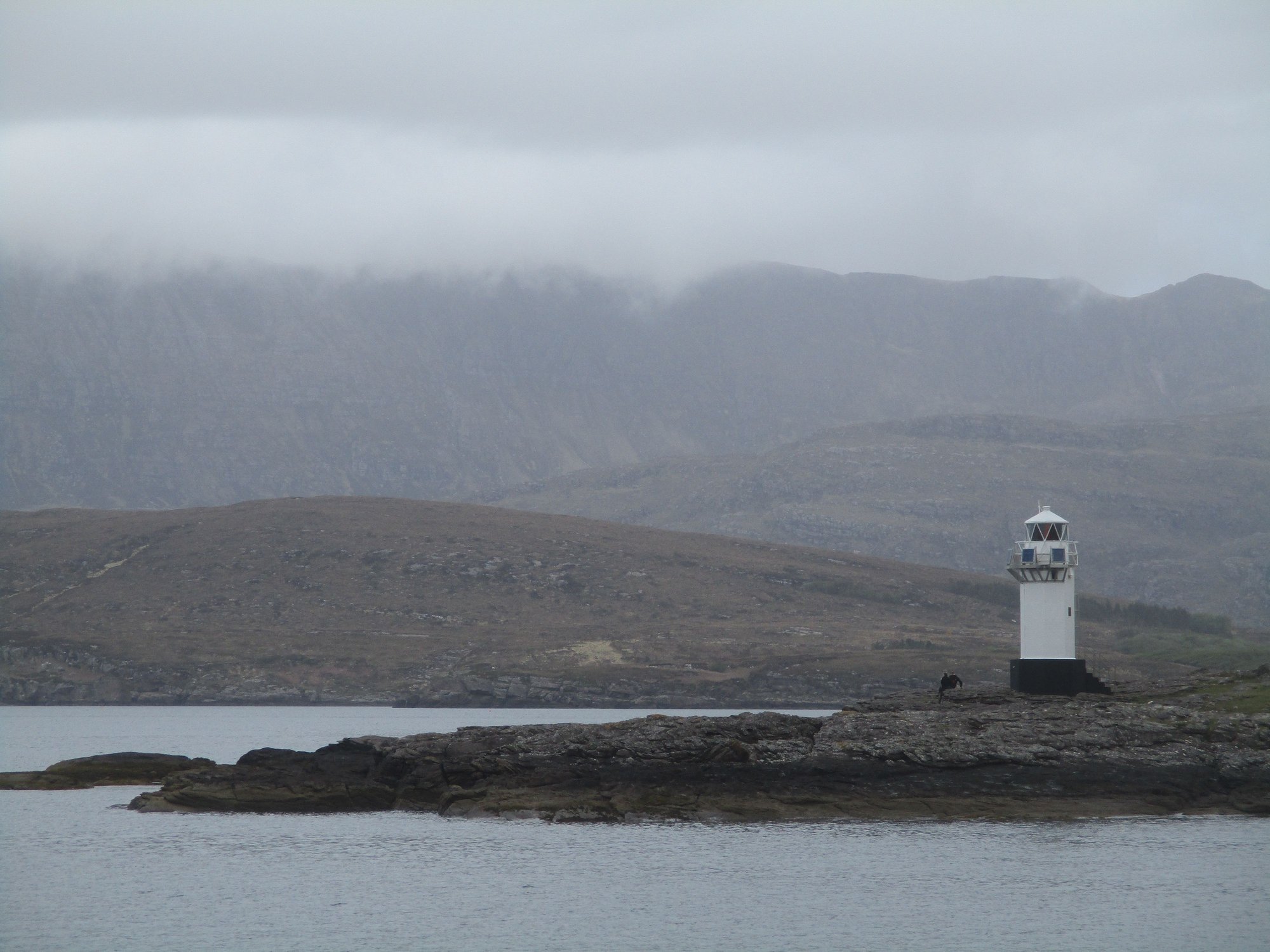
Lighthouse
We headed back to our B&B. Given the frenetic pace of the trip so far, it was a relief to have a light day (giving my sore feet and our car a rest from all the driving) and allowed for an afternoon nap to rejuvenate !
As I checked my email, I had received a very confusing message from Calmac (the ferry services provider for the Western Isles, where we were headed later in the trip). The email listed my original return journey to the mainland from Barra (Castlebay-Oban) AND an alternate route requiring me to retrace to South Uist (at 4am!) and take the Lochboisdale-Oban ferry (at 6am). I visited the Calmac office in Ullapool who confirmed my suspicion that this was a cancellation and rerouting. They coudnt explain why or print the revised tickets, but gave me vague assurances this would all be OK and could be dealt with when I got to Barra! Evidently, my saga with the Scotland ferries hadn’t quite ended with the Orkney fiasco. More on this story, follows later in my report.
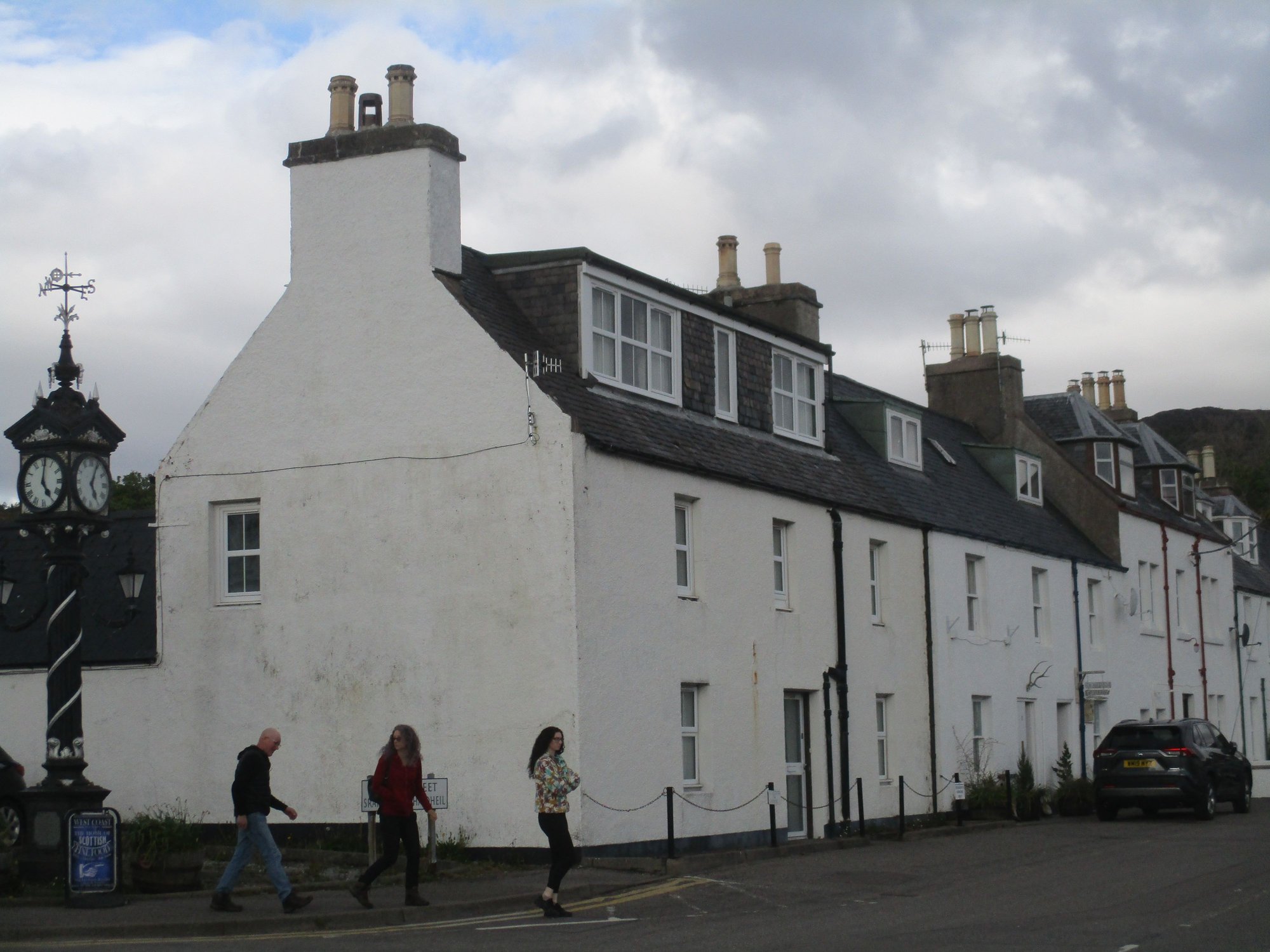
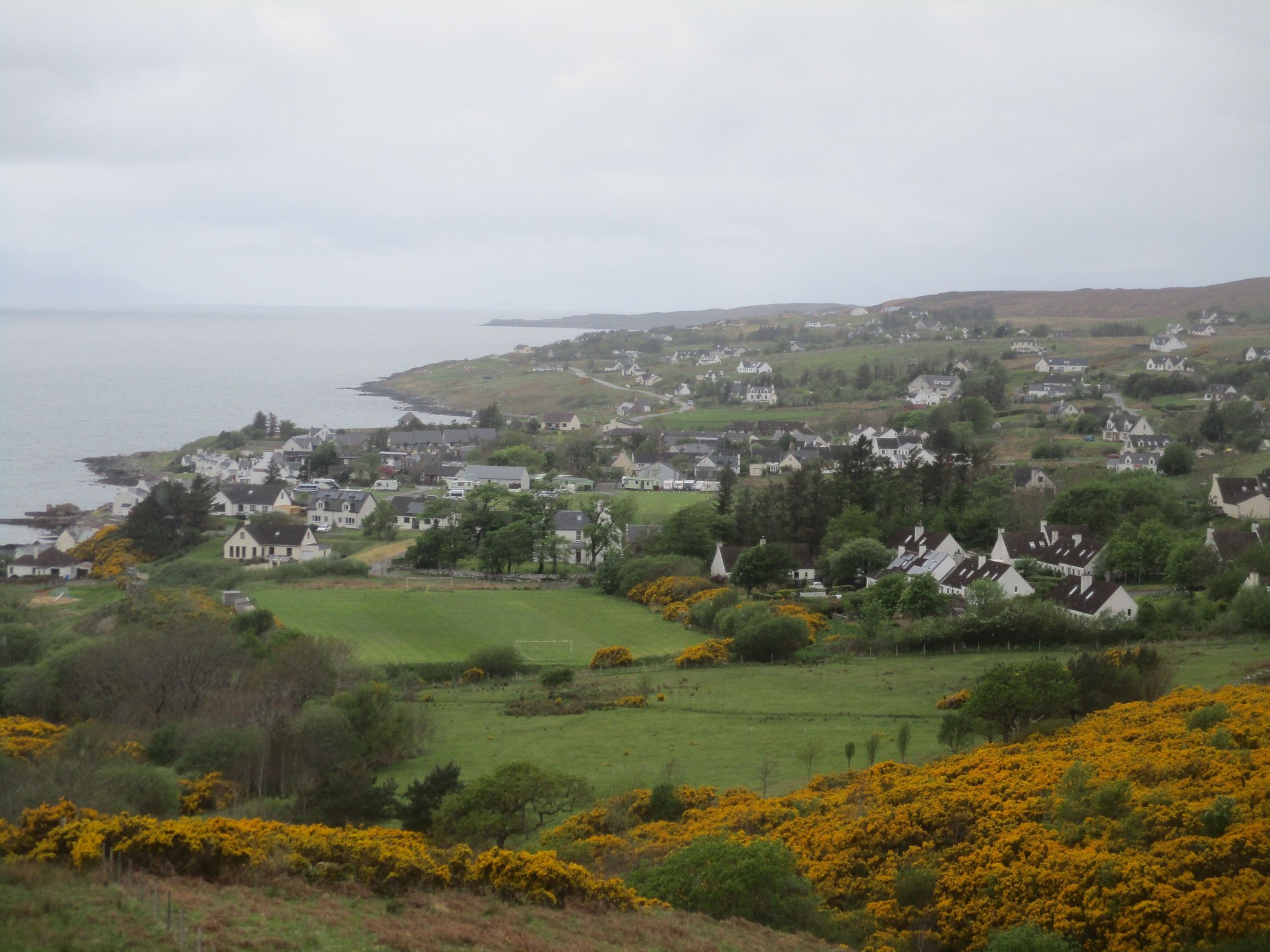
In the evening, we strolled around charming Ullapool and climbed up the Ullapool hill to enjoy views over the village and loch.
Ullapool
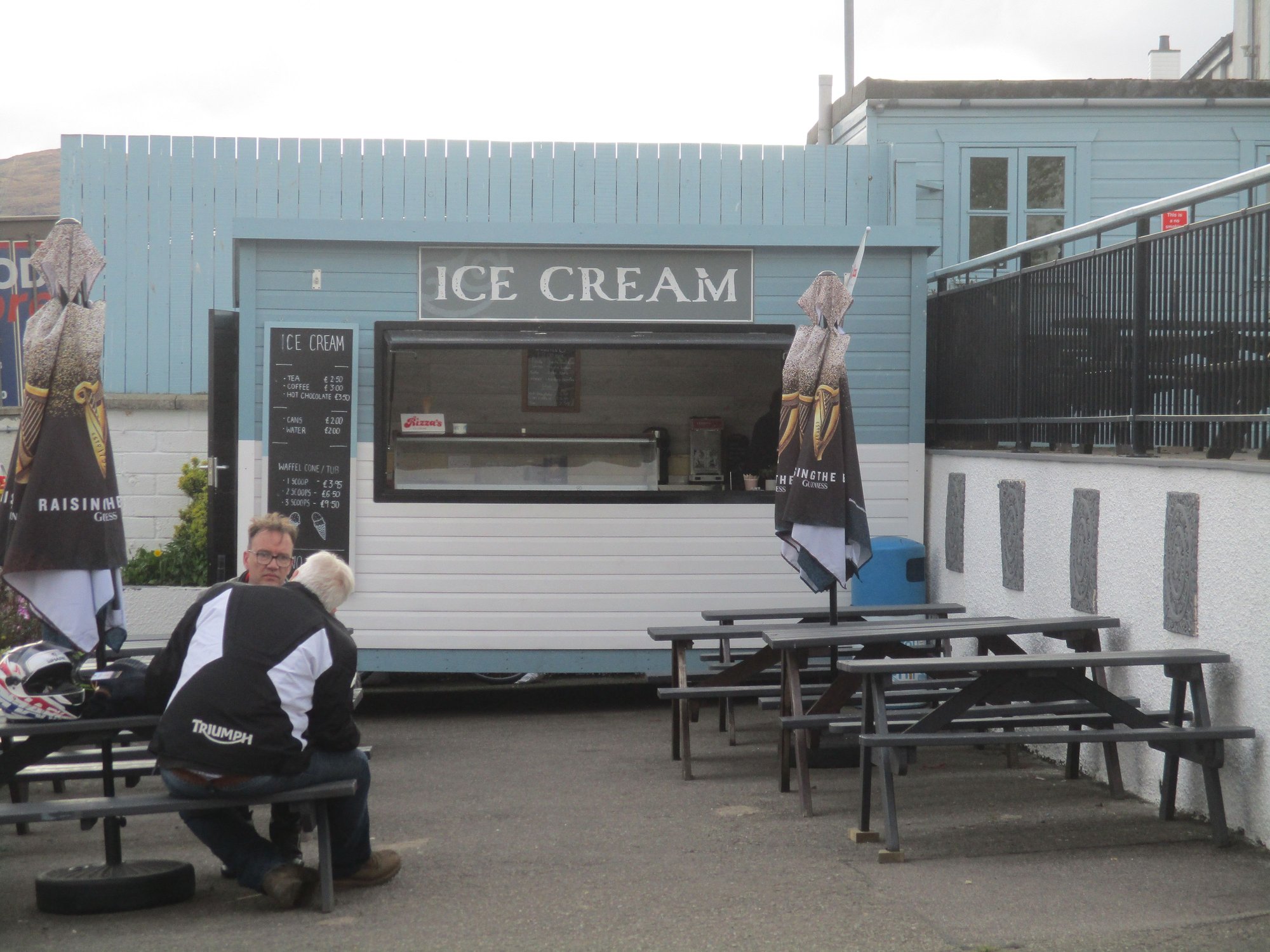
Ice cream parlour
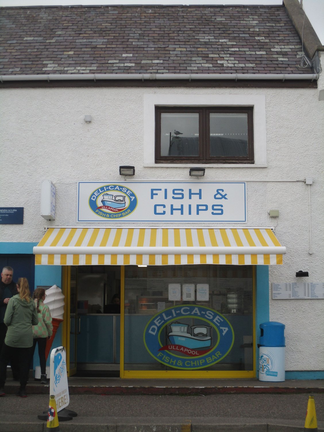
Fish n Chips Shop
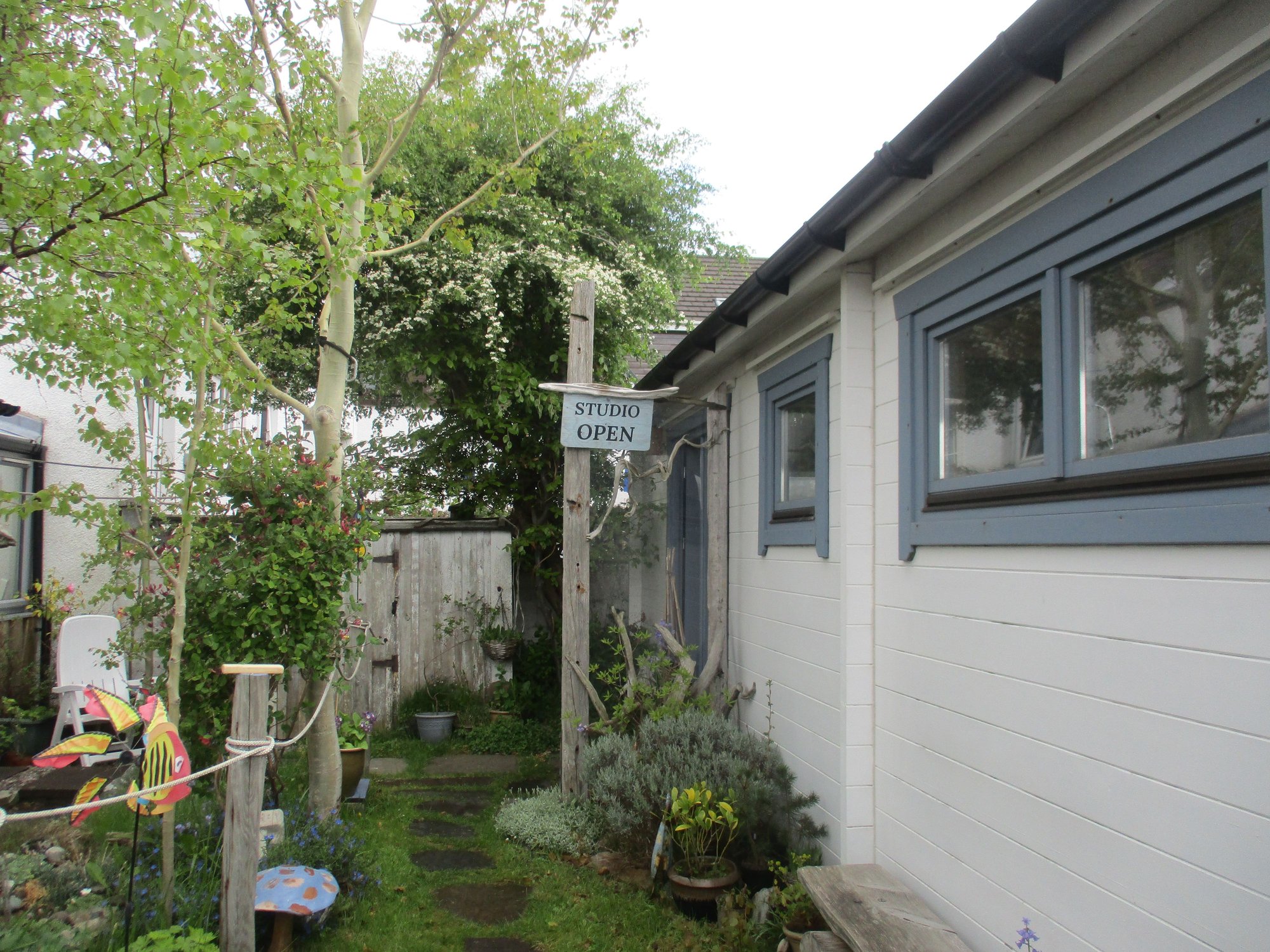
Art studio

Climbing up the hill
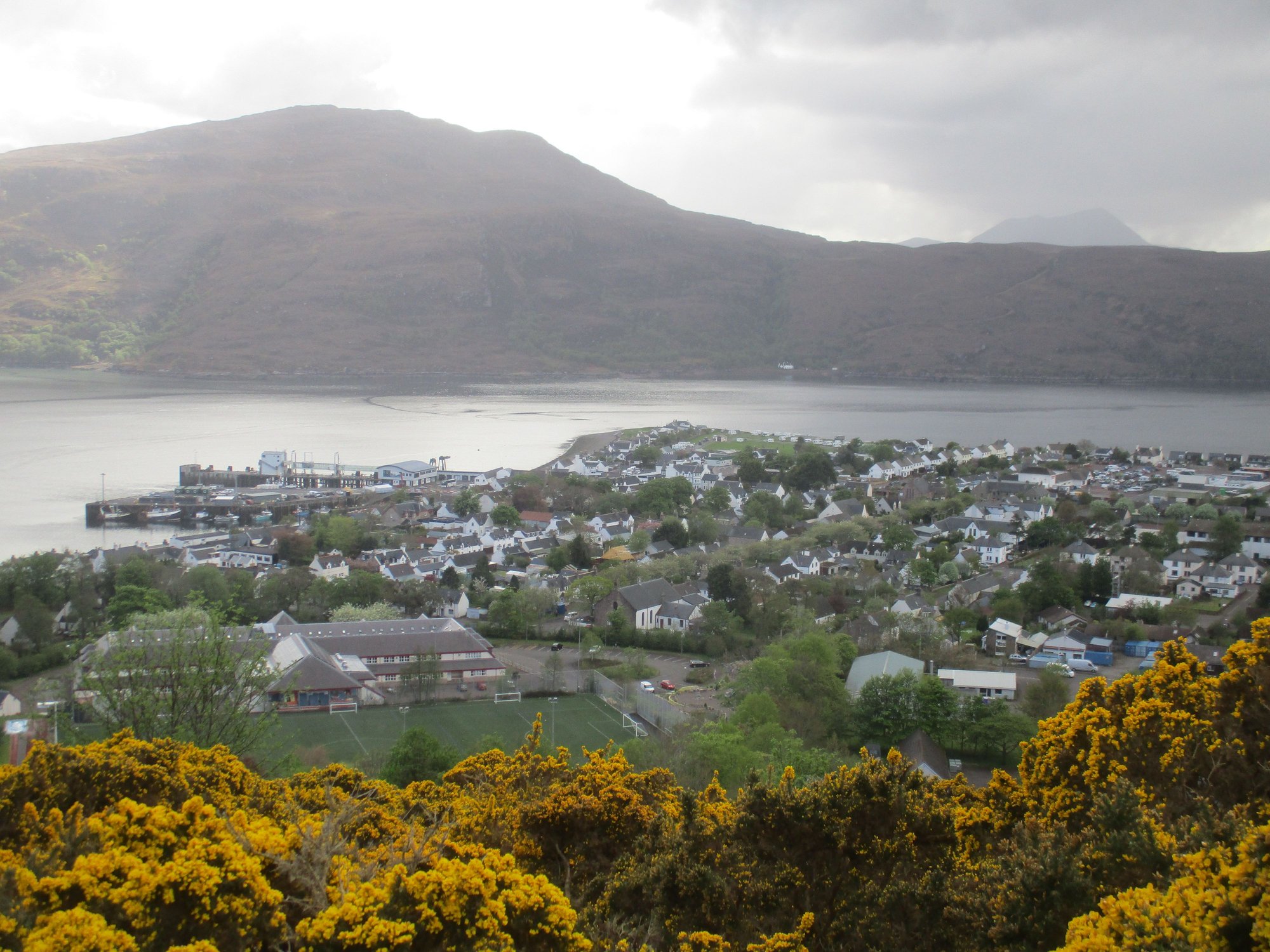
Aerial view of Ullapool
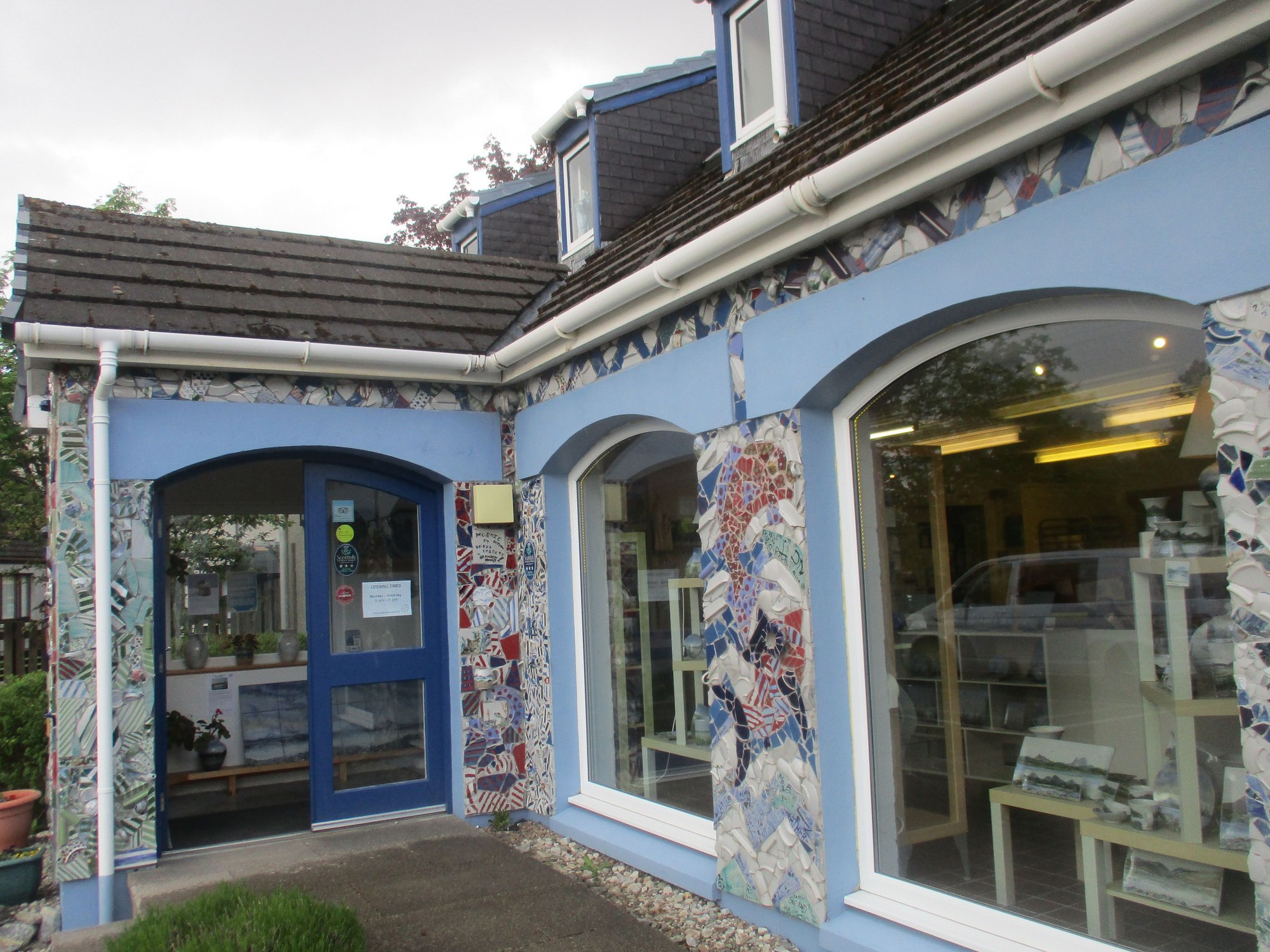
Visit to the Highland Stoneware store, after descending the hill
Coming next : The highlight of our trip - 4 days in Torridon ....
Strolling around the harbour, while waiting to board
Funny gate signage along the harbour road
Our cruise boat
Departing from Ullapool
We had enjoyed some of these coastal views from the shore while driving through Coigach peninsula (en route to Ullapool, yesterday), but the views from the water provided an altogether different perspective. We enjoyed the cruise and spotted marine life (including seals and porpoises) and birds (including eagles). All this with informative and highly entertaining commentary from the hilariously funny navigator and guide (who also graciously lent us his pair of binoculars).
On board
Setting sail
Seals
Birds on rocky ledge
Pretty coves and beaches
More seals
Views
Sea Cave from outside
Within the sea cave, the boat backed up all the way inside !
Coigach peninsula from the water
Salmon farms
Lighthouse
We headed back to our B&B. Given the frenetic pace of the trip so far, it was a relief to have a light day (giving my sore feet and our car a rest from all the driving) and allowed for an afternoon nap to rejuvenate !
As I checked my email, I had received a very confusing message from Calmac (the ferry services provider for the Western Isles, where we were headed later in the trip). The email listed my original return journey to the mainland from Barra (Castlebay-Oban) AND an alternate route requiring me to retrace to South Uist (at 4am!) and take the Lochboisdale-Oban ferry (at 6am). I visited the Calmac office in Ullapool who confirmed my suspicion that this was a cancellation and rerouting. They coudnt explain why or print the revised tickets, but gave me vague assurances this would all be OK and could be dealt with when I got to Barra! Evidently, my saga with the Scotland ferries hadn’t quite ended with the Orkney fiasco. More on this story, follows later in my report.
In the evening, we strolled around charming Ullapool and climbed up the Ullapool hill to enjoy views over the village and loch.
Ullapool
Ice cream parlour
Fish n Chips Shop
Art studio
Climbing up the hill
Aerial view of Ullapool
Visit to the Highland Stoneware store, after descending the hill
Coming next : The highlight of our trip - 4 days in Torridon ....
Last edited by ANUJ; Jun 8th, 2023 at 12:23 AM.
 Jun 8th, 2023 | 11:41 AM
#43
Joined: Jan 2015
Posts: 4,290
Likes: 19
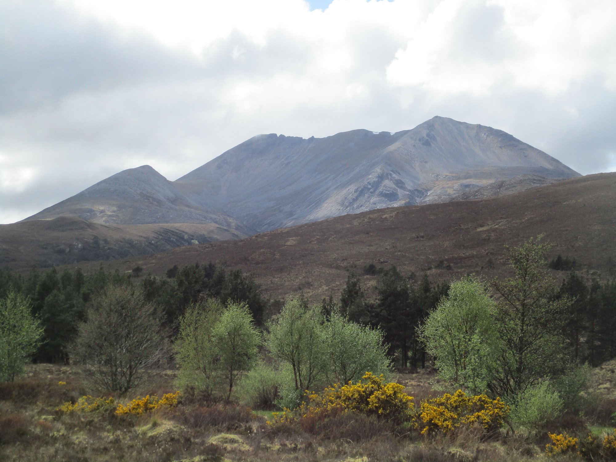
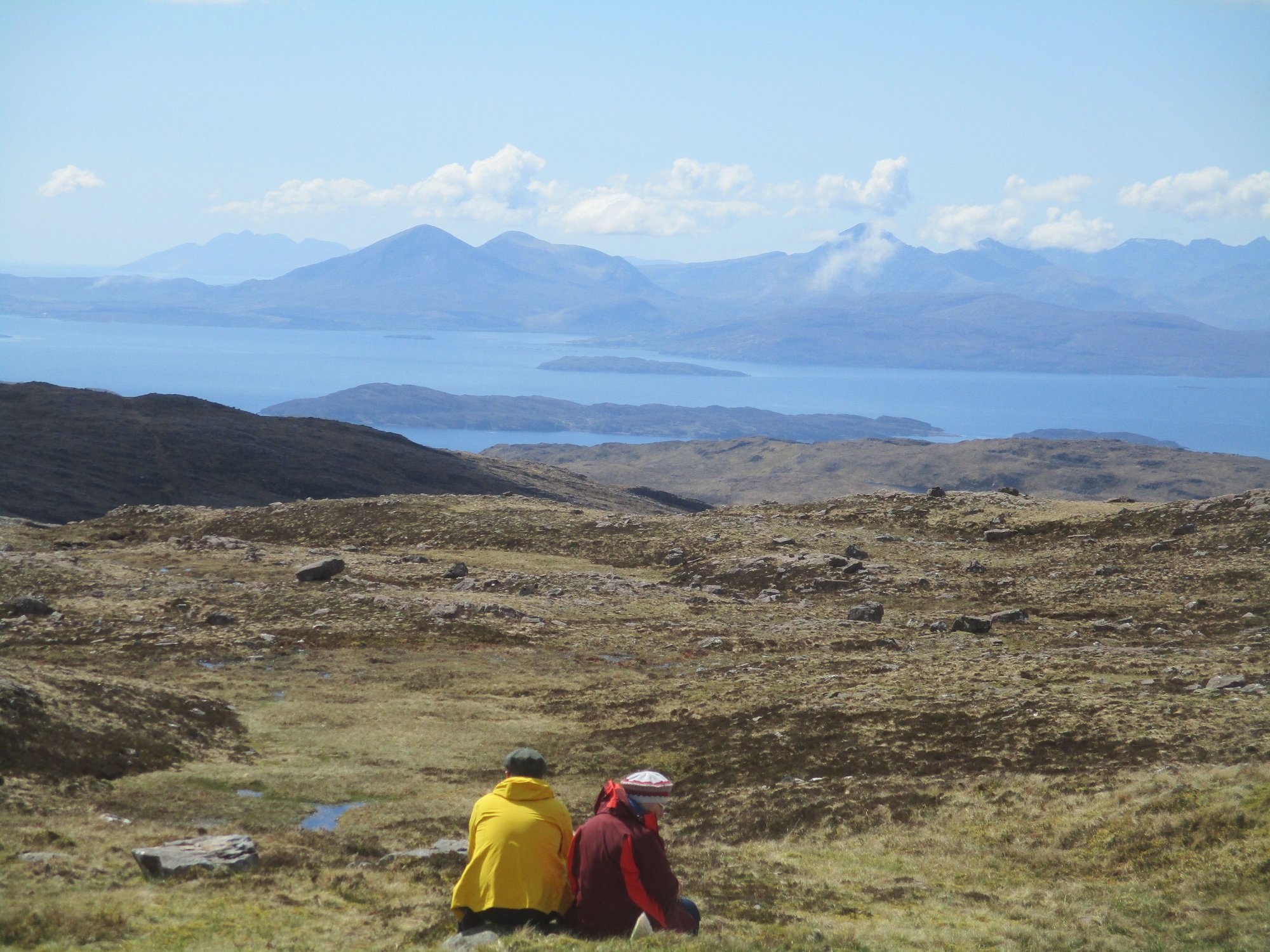
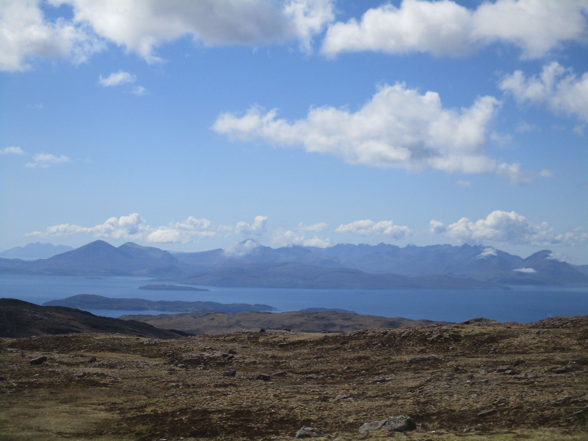
That Cul Mor and Suilven view is so dramatic. So wild, barren, windswept. You’ve seen so much.
I’m trying not to make more holiday plans while travelling, but…the evenings are free to read TR’s!
It’s dangerous, isn’t it, lol.
I’m trying not to make more holiday plans while travelling, but…the evenings are free to read TR’s!
It’s dangerous, isn’t it, lol.
Jun 8th, 2023 | 03:53 PM
#44

Joined: Oct 2005
Posts: 75,054
Likes: 50
More gorgeous photos.
My ex did the full Stac Pollaidh trail to the top -- its only 2 or 3 miles but was quite challenging with a lot if elevation gain. I stayed down in the small car park in our campervan and had a nice picnic with our Scottie and Airedale. He wanted to take the Airedale with him but I nixed that idea!
My ex did the full Stac Pollaidh trail to the top -- its only 2 or 3 miles but was quite challenging with a lot if elevation gain. I stayed down in the small car park in our campervan and had a nice picnic with our Scottie and Airedale. He wanted to take the Airedale with him but I nixed that idea!
Jun 8th, 2023 | 11:16 PM
#45
Original Poster
Joined: Oct 2005
Posts: 931
Likes: 28
Adelaidean, I agree - your TR is whetting my appetite for Northern Italy again - we last visited the Dolomites in 2018 and there's so much in the region left to see.
janisj, thanks. Stac Pollaidh does appear innocuous from the base, but it was a hard slog. The photos don't do justice as the views were so sweeping and expansive.
janisj, thanks. Stac Pollaidh does appear innocuous from the base, but it was a hard slog. The photos don't do justice as the views were so sweeping and expansive.
Jun 9th, 2023 | 12:46 AM
#46
Original Poster
Joined: Oct 2005
Posts: 931
Likes: 28
Day 12 : Torridon
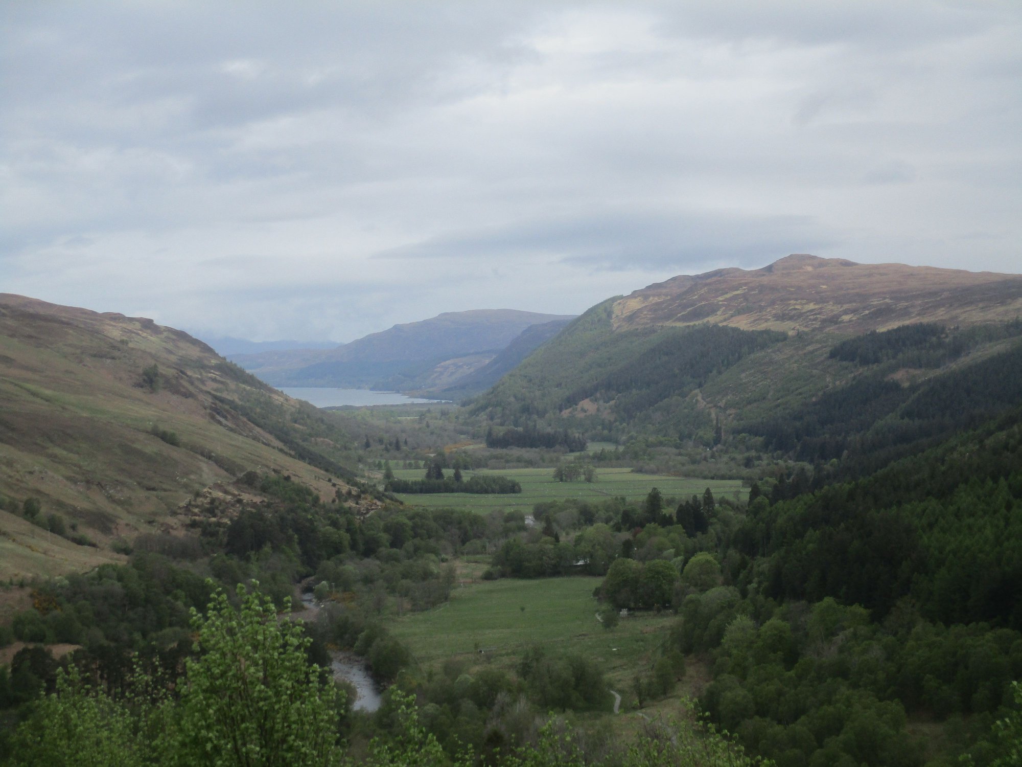
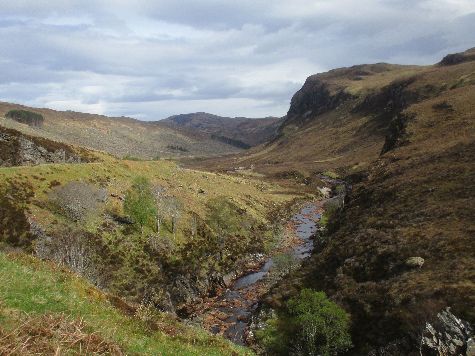
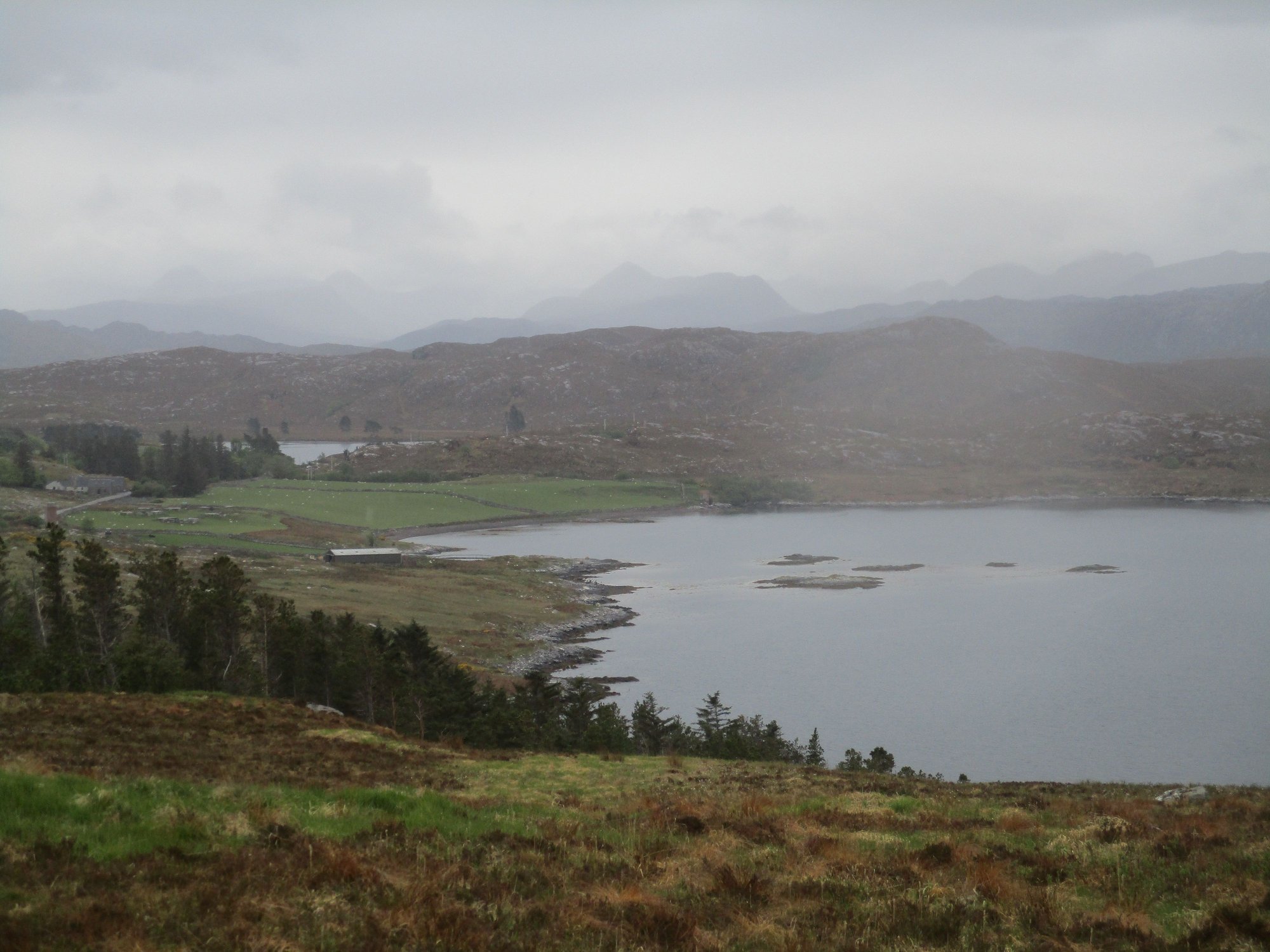
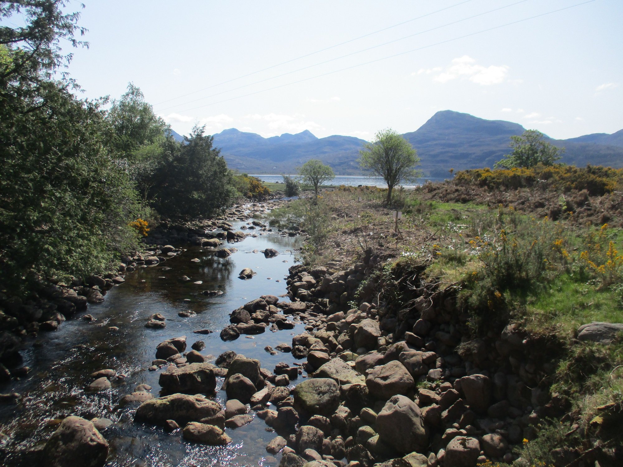
After breakfast and a quick fuel stop, we set off on our long drive to Torridon. The stretch of the A835 down Loch Broom was marred by rain and fog, but it cleared up by the time we hit Corrieshalloch Gorge, our first stop.
We parked very close to the Falls of Measach and made our way to a (shaky) suspension bridge with an impressive view of the crashing falls. After crossing the bridge, there's a wooded path to a metal platform offering another terrific viewpoint.
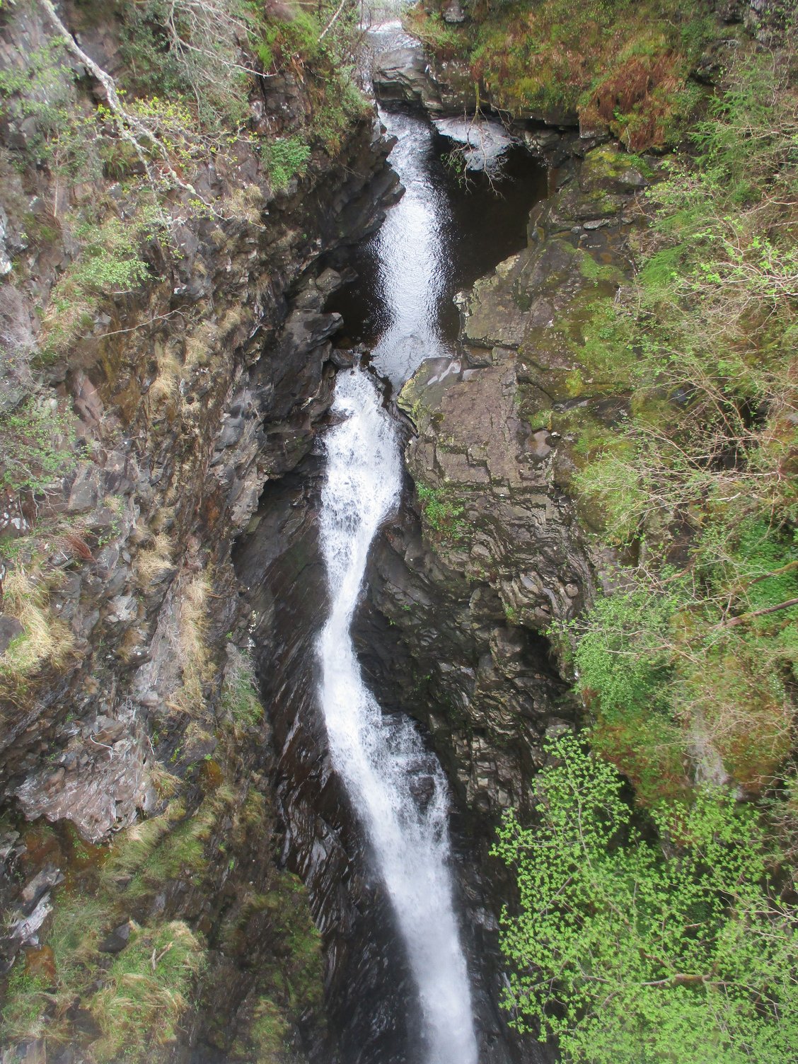
From suspension bridge, view of falls crashing down,
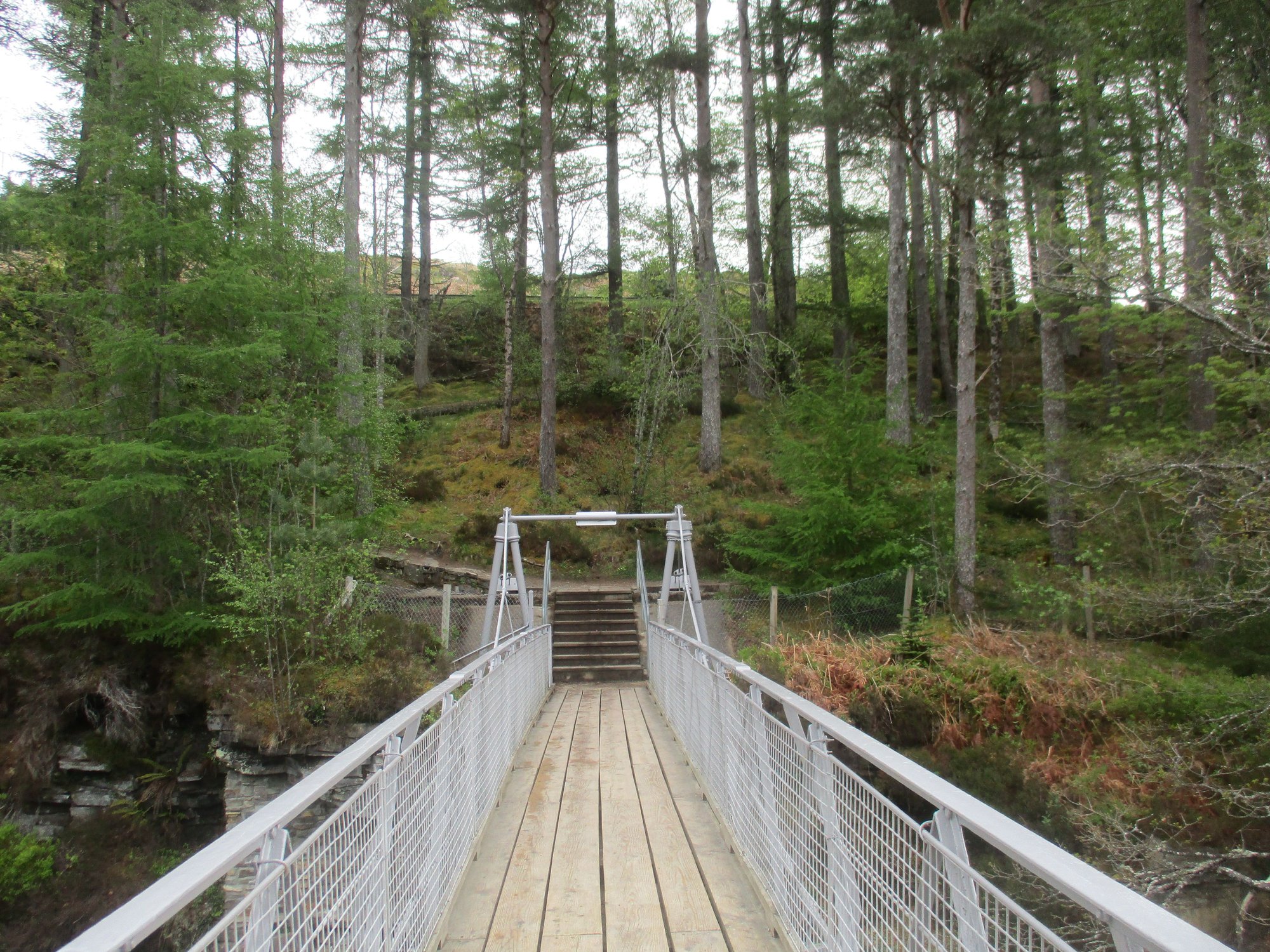
The suspension bridge
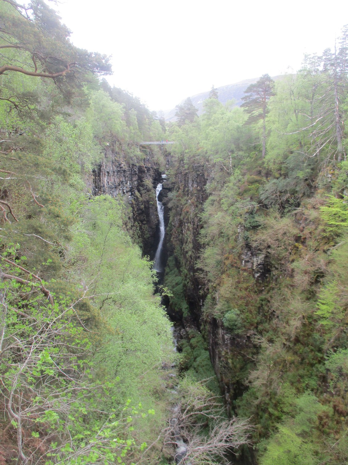
View of bridge and falls from the metal platform
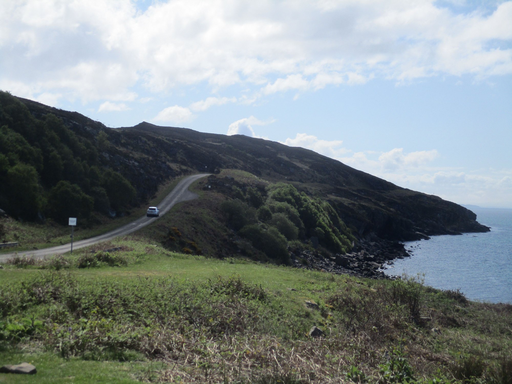
We then joined the A832 which winds its way around the coast all the way to Kinlochewe, stopping regularly to enjoy the scenery.
Along the route
Along the route
Along the route
Gruinard Bay, along the route
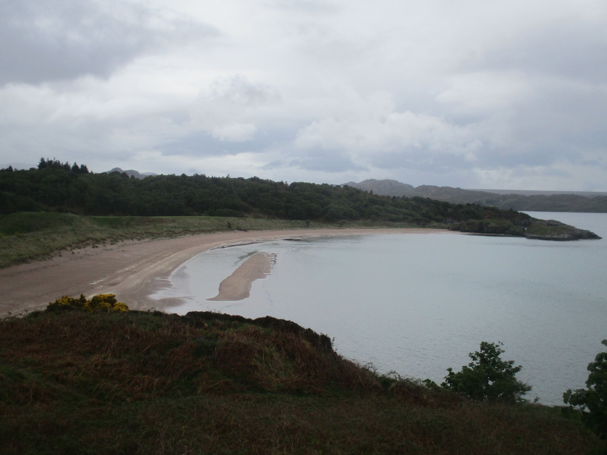
A minor detour led us to the remote Mellon Udrigle beach, hidden behind farmland and pastures.
Passing through farmlands
Mellon Udrigle Beach
Mellon Udrigle Beach
We continued onwards to Gairloch....
Near Poolewe

At Poolewe
View over Gairloch
View over Gairloch Beach
,.... followed by a minor detour to Badachro for a quick meal.
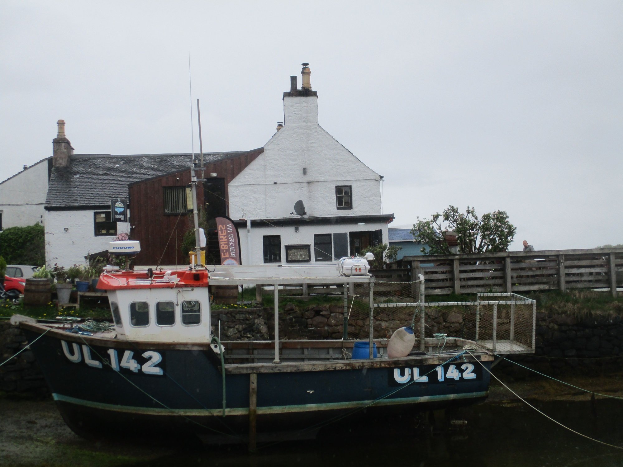
Badachro Inn
Badachro Inn
Seals basking on a rock in the bay at Badachro, as we left
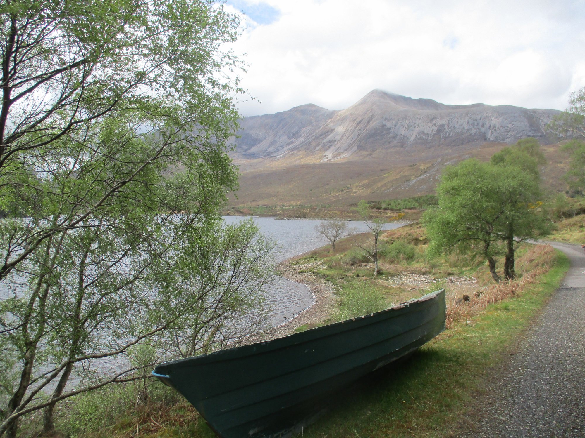
As we drove down the western shore of Loch Maree, we pulled over to enjoy the stunning and much-photographed Lone Pine Tree viewpoint with Slioch in the background.
The lone pine tree viewpoint
We made another stop further down the shore by the Beinn Eighe Reserve Car Park, which offers two trails. We just chose to linger and enjoy some sunshine, after a sudden shower abated.
Loch Maree
Beinn Eighe
Loch Maree, the sun comes out
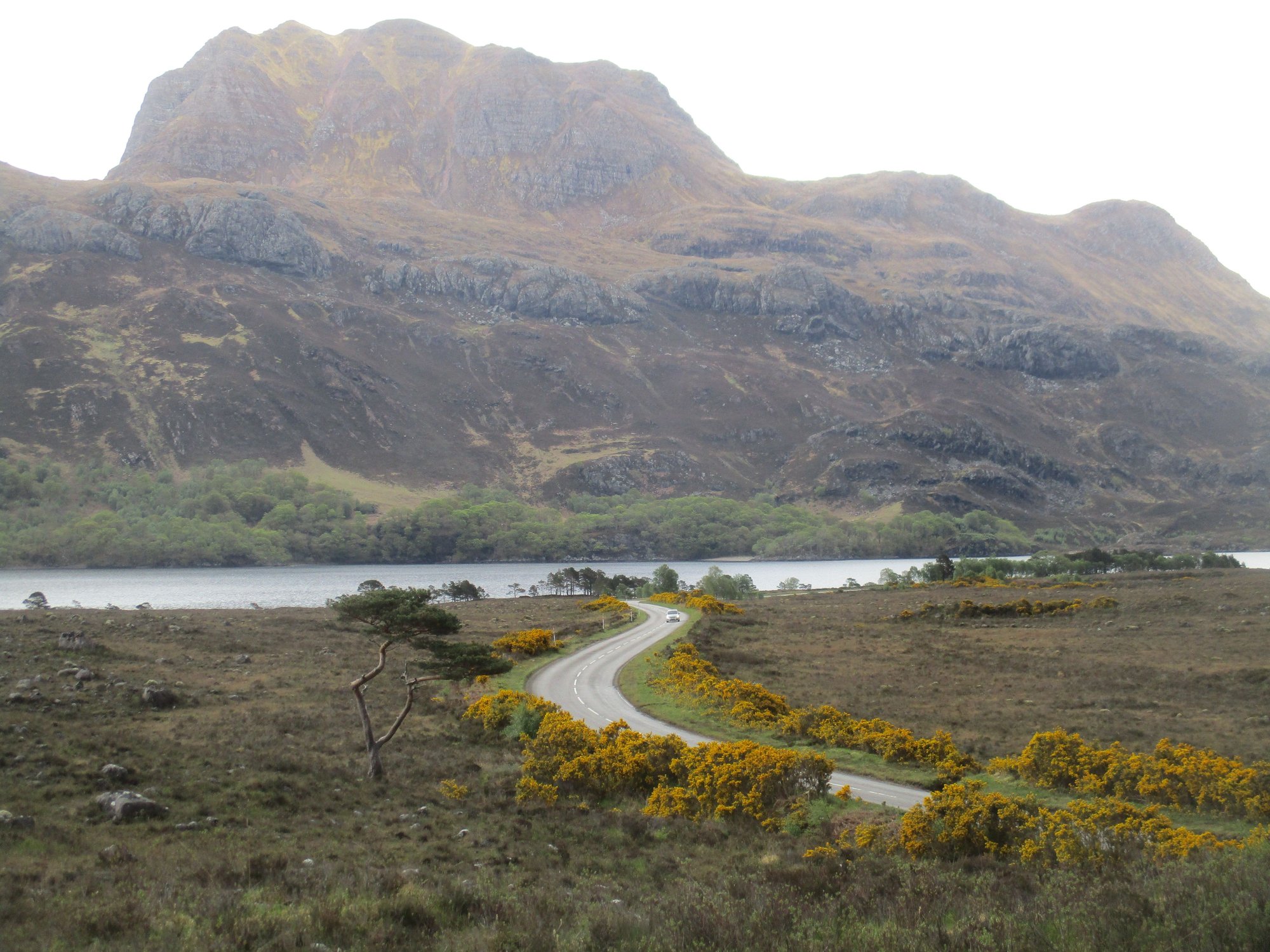
We made our way to the Glen Docherty viewpoint beyond Kinlochewe, one of the most iconic views along the NC500. Absolutely breathtaking!

Glen Docherty viewpoint
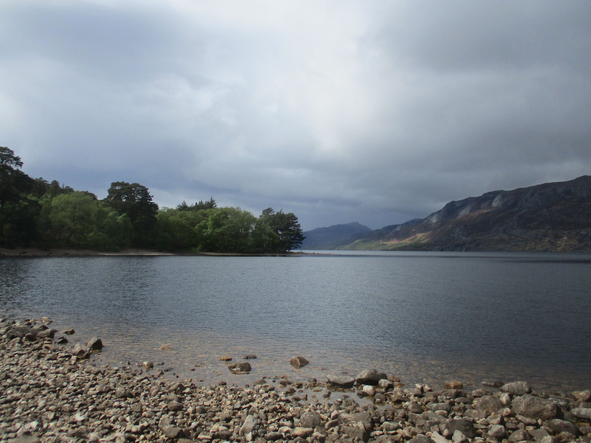
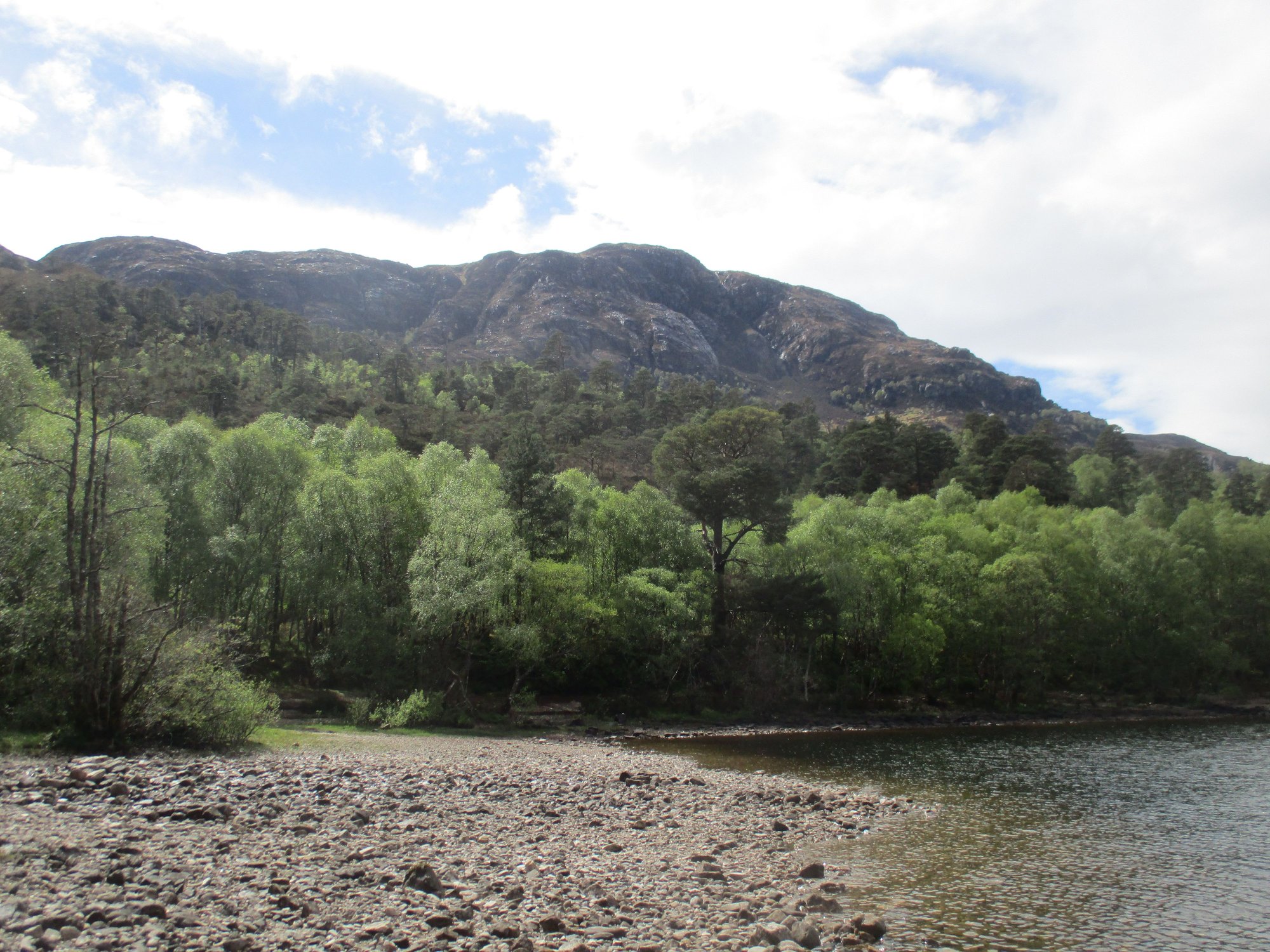
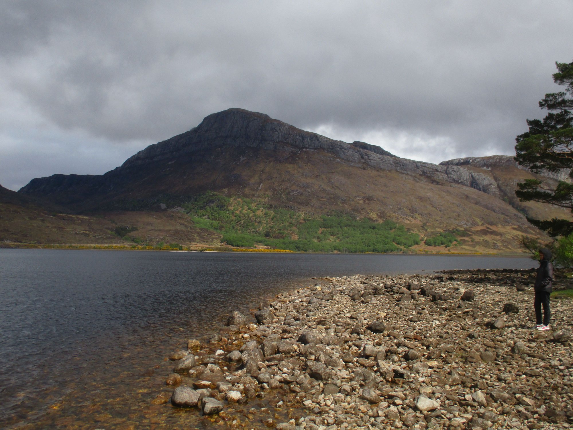
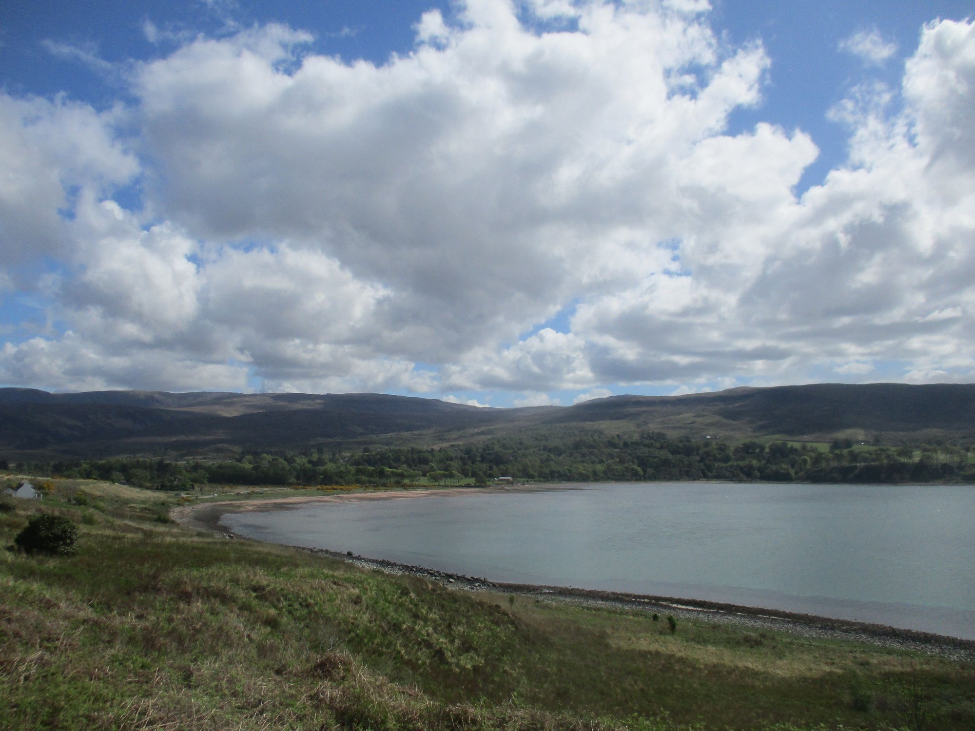
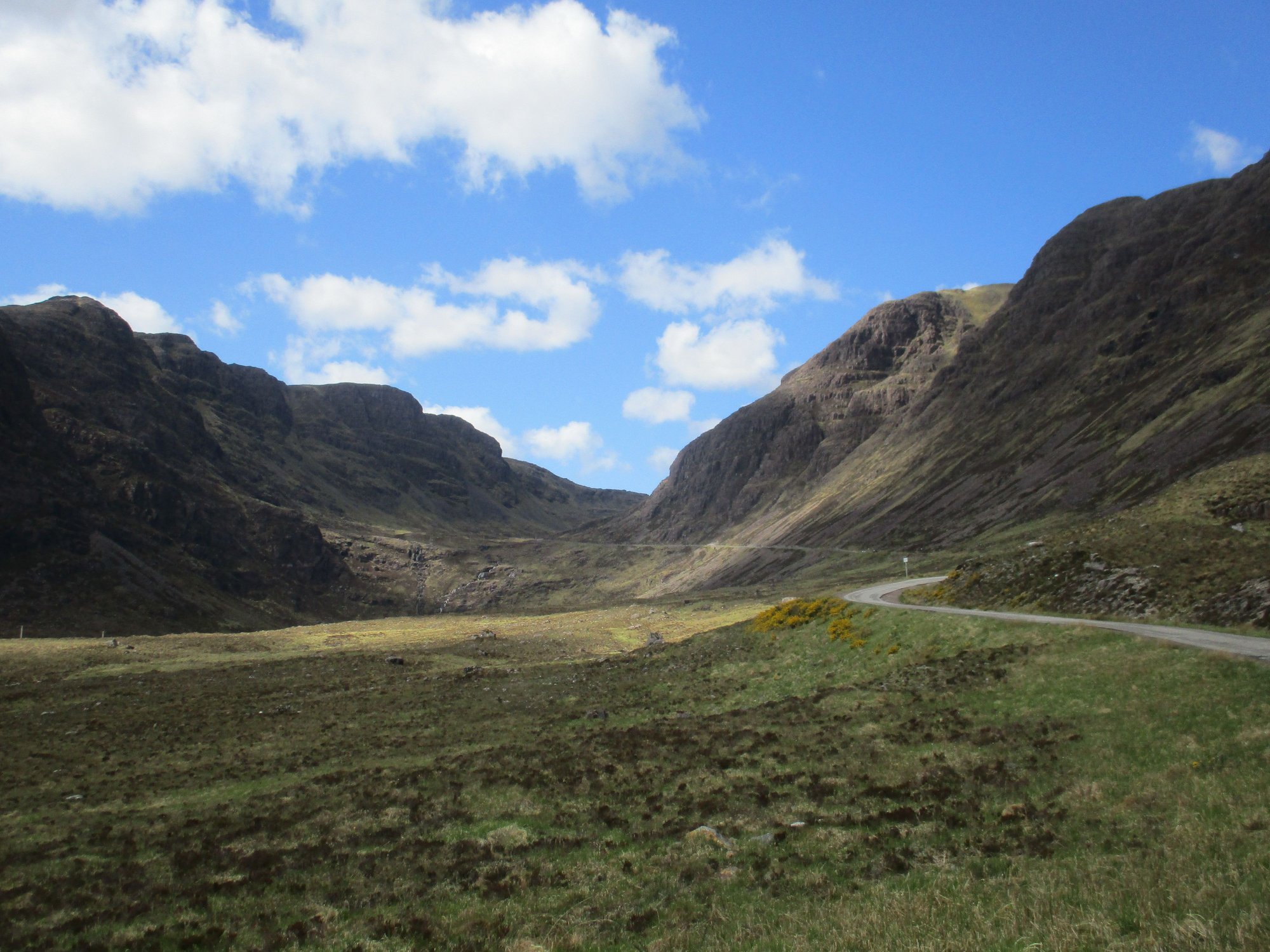
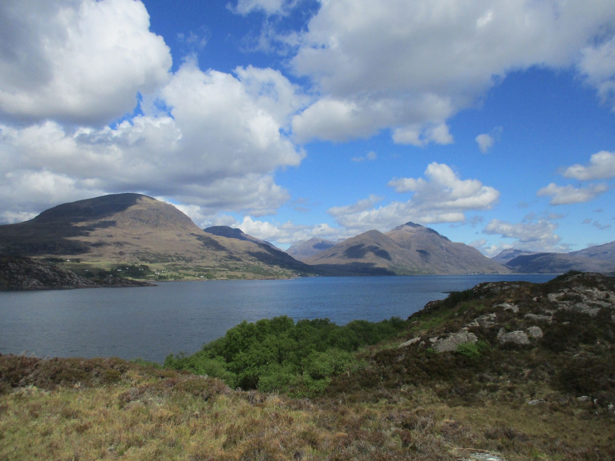
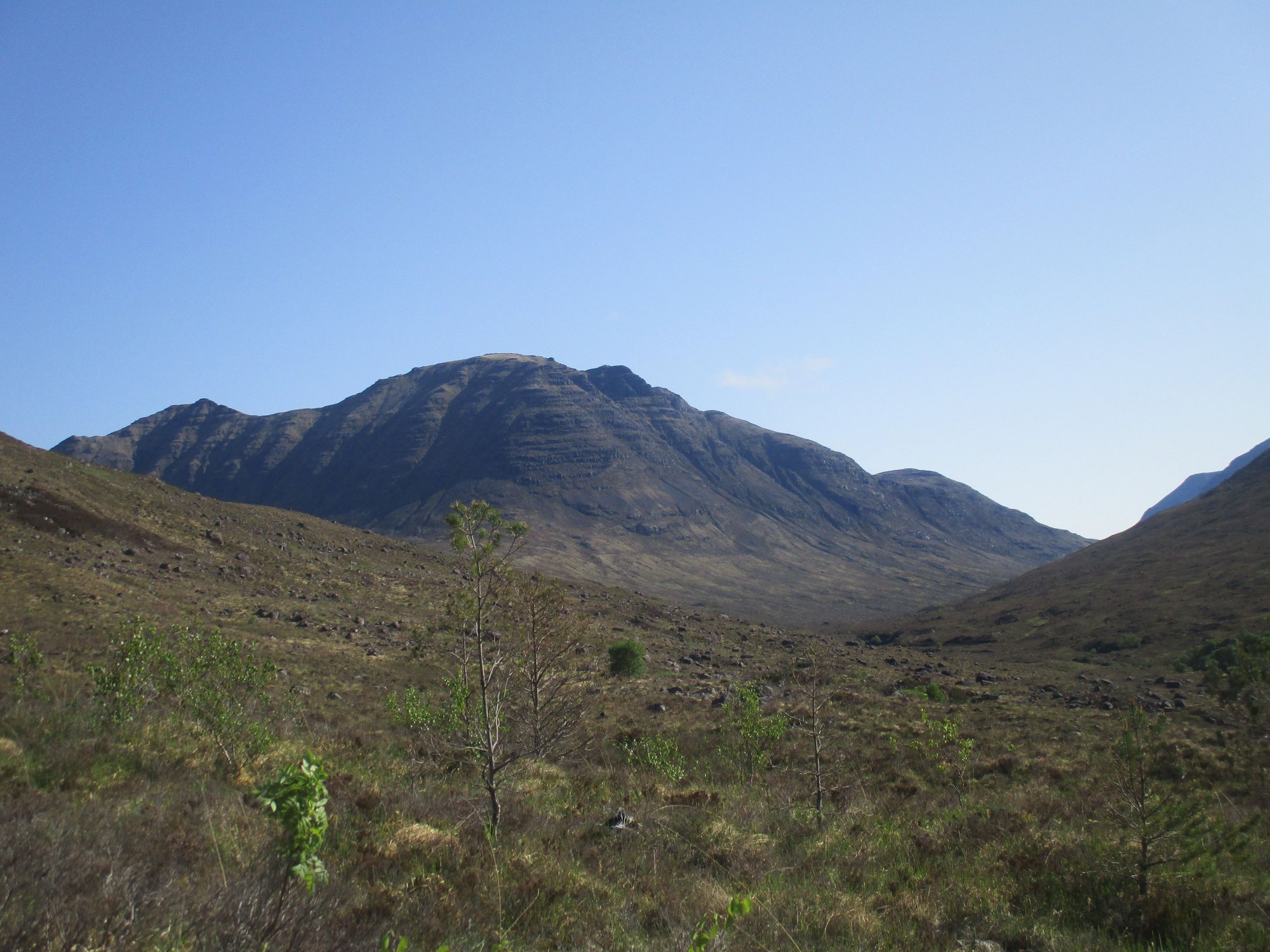
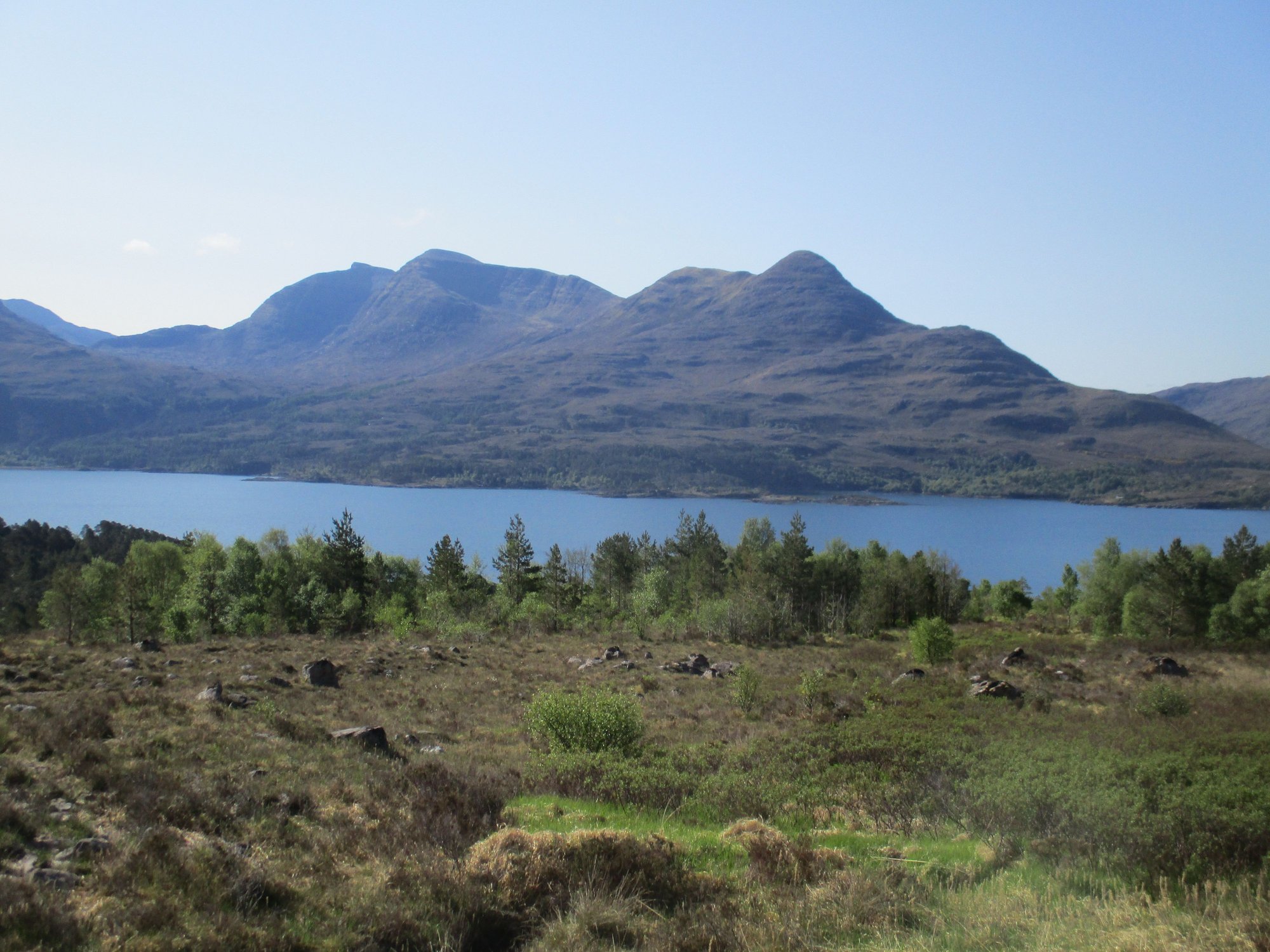
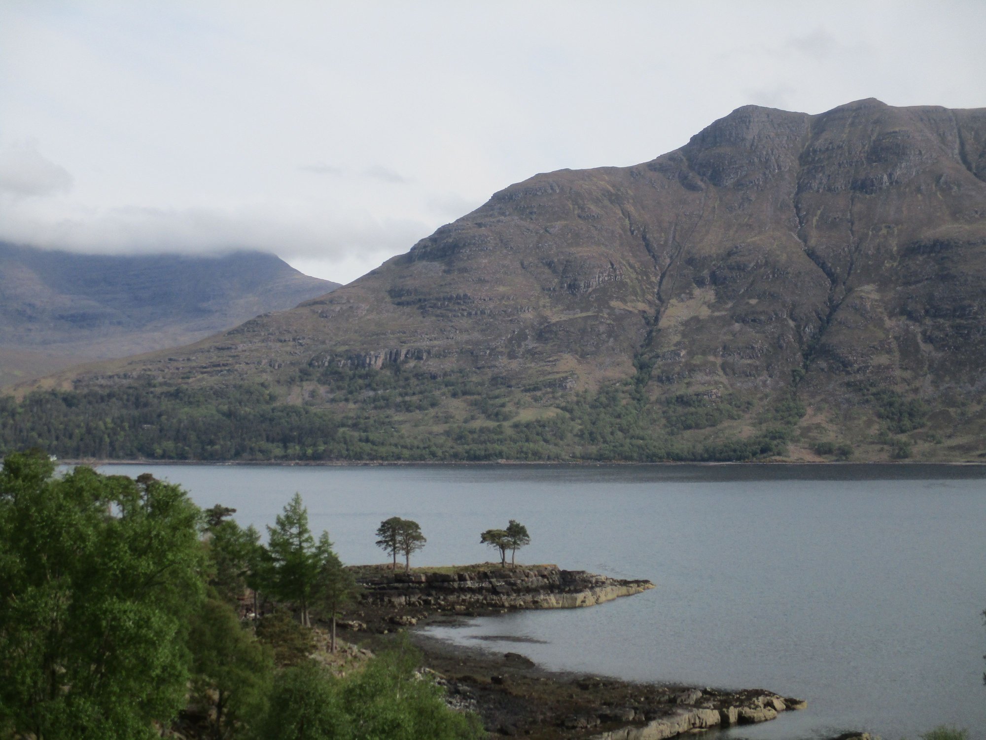
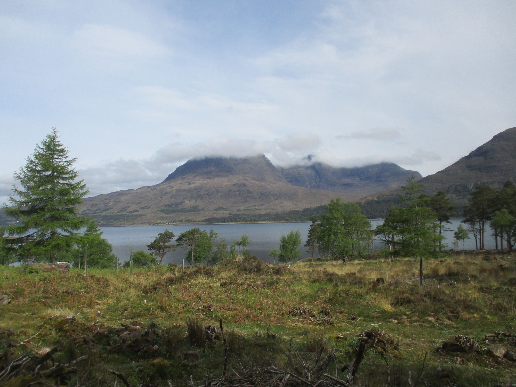
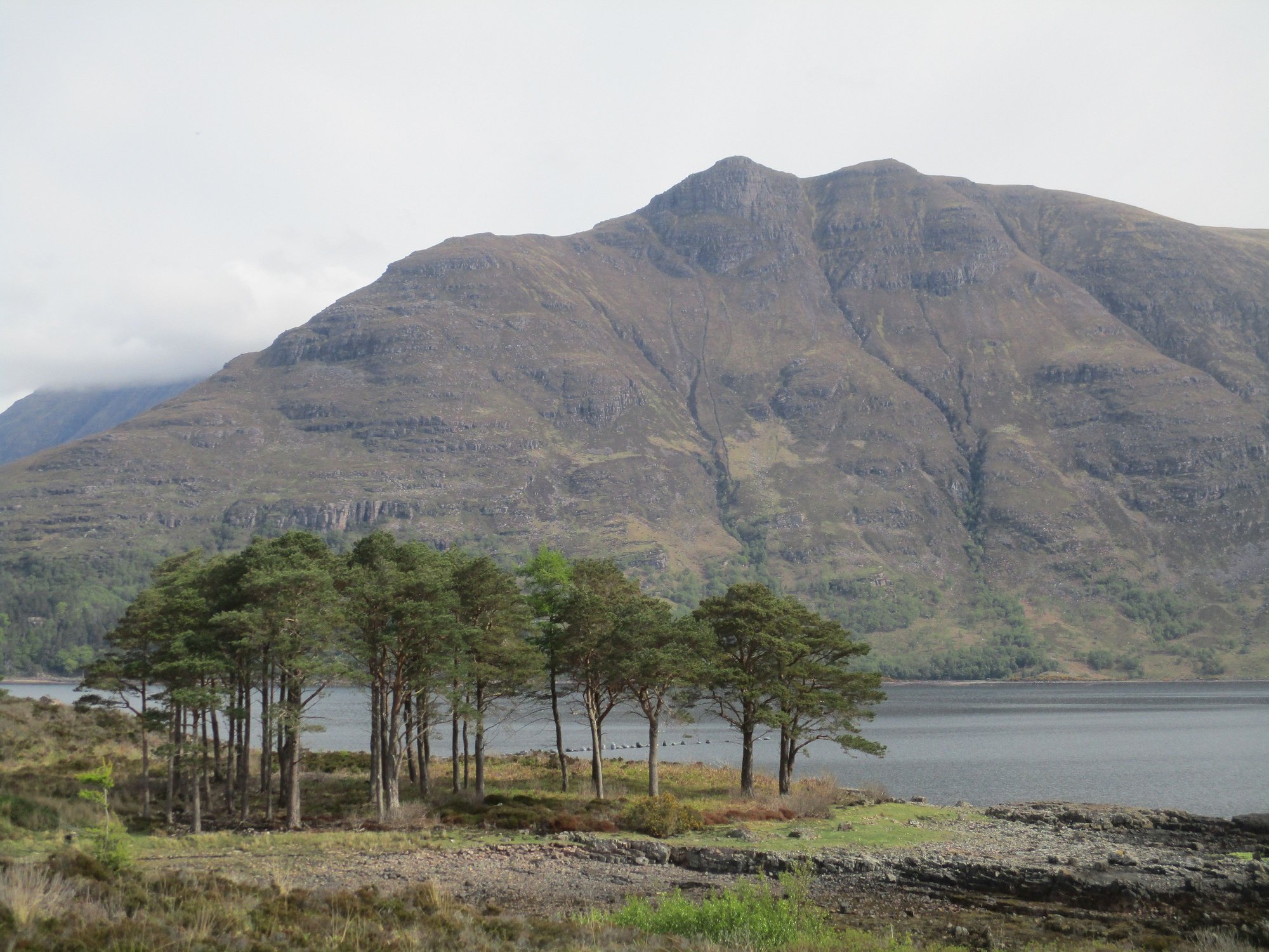
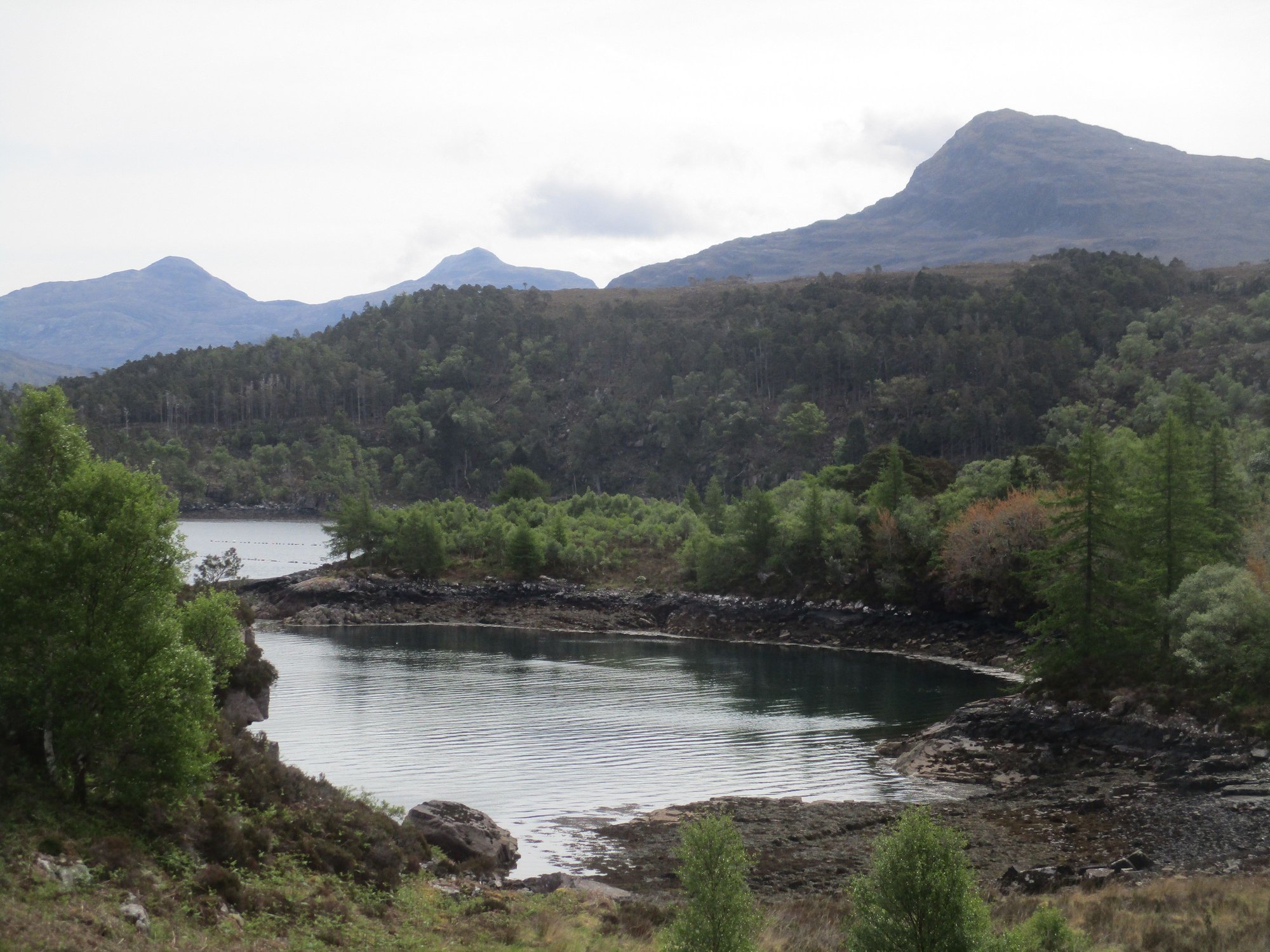
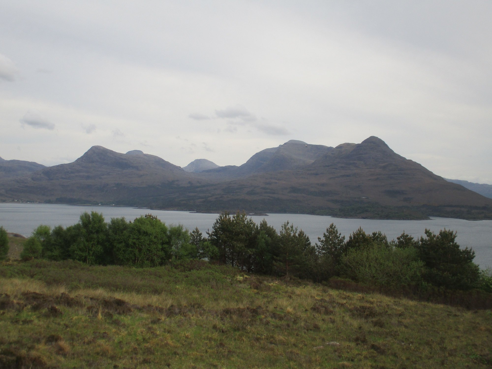
We rejoined the A896 which cuts through the stunning Glen Torridon, stopping for a short walk at the Coulin Estate along the shores of Loch Clair, with our first sighting of the mighty Liathach.
Beinn Eighe pops its head, en route to Torridon
At the shores of Loch Clair

Loch Clair, Liathach looms over
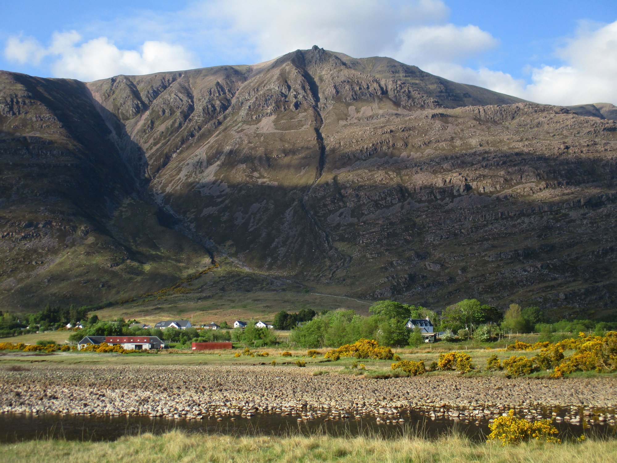
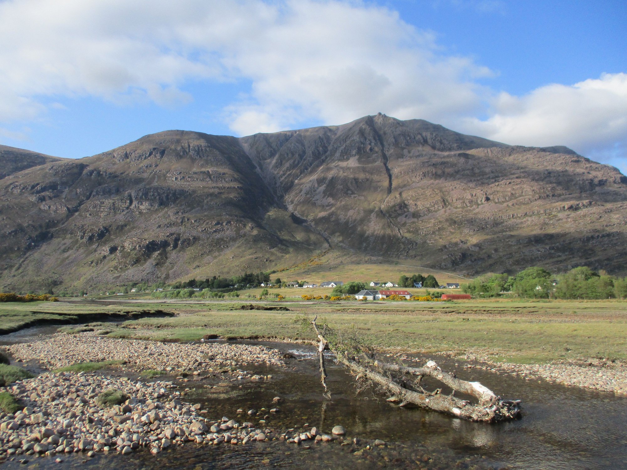
Glen Torridon
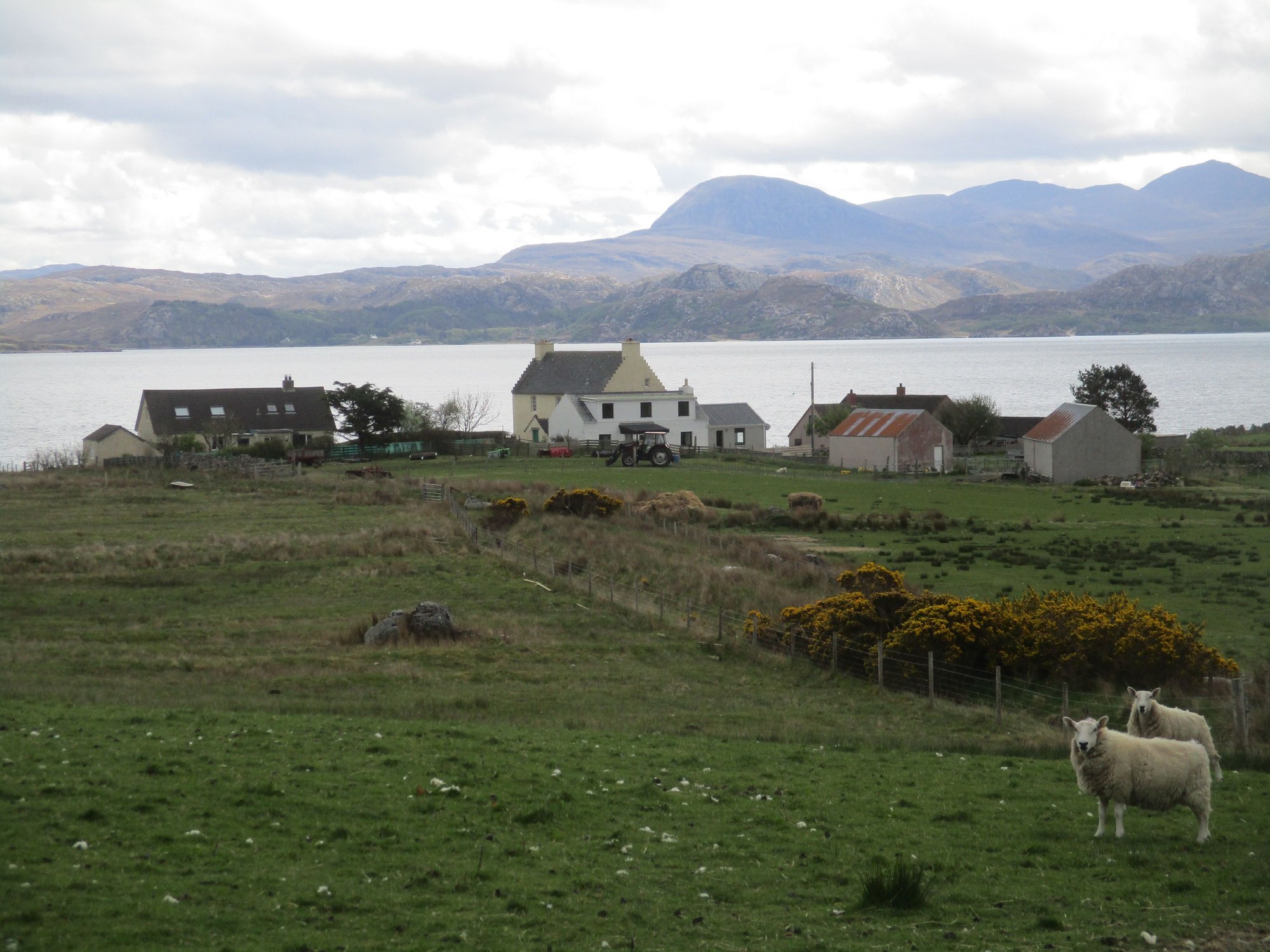
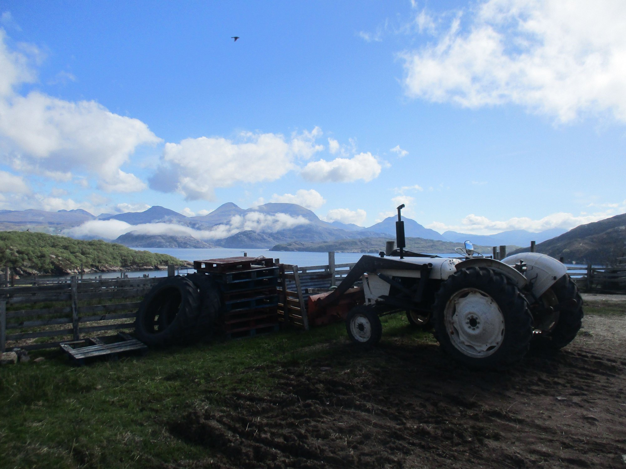
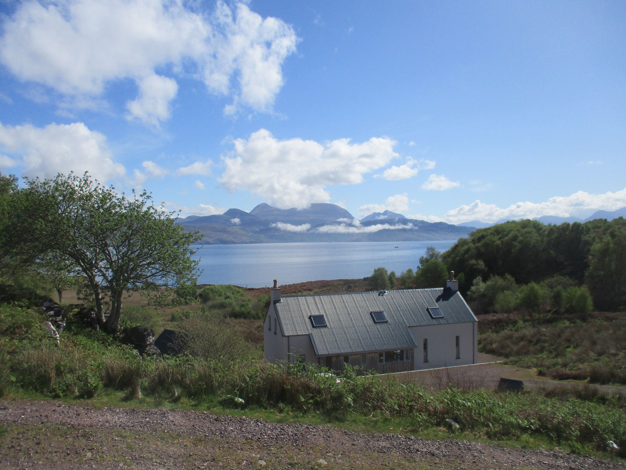
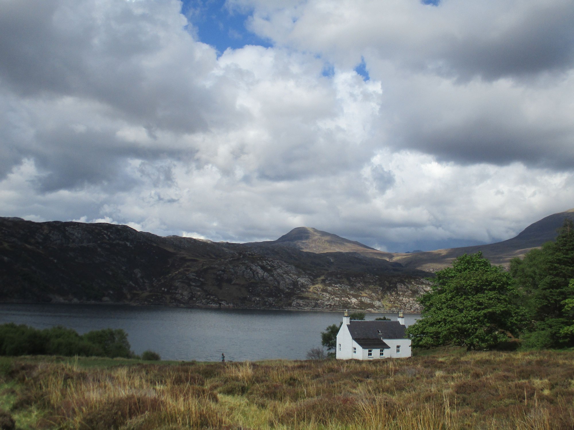
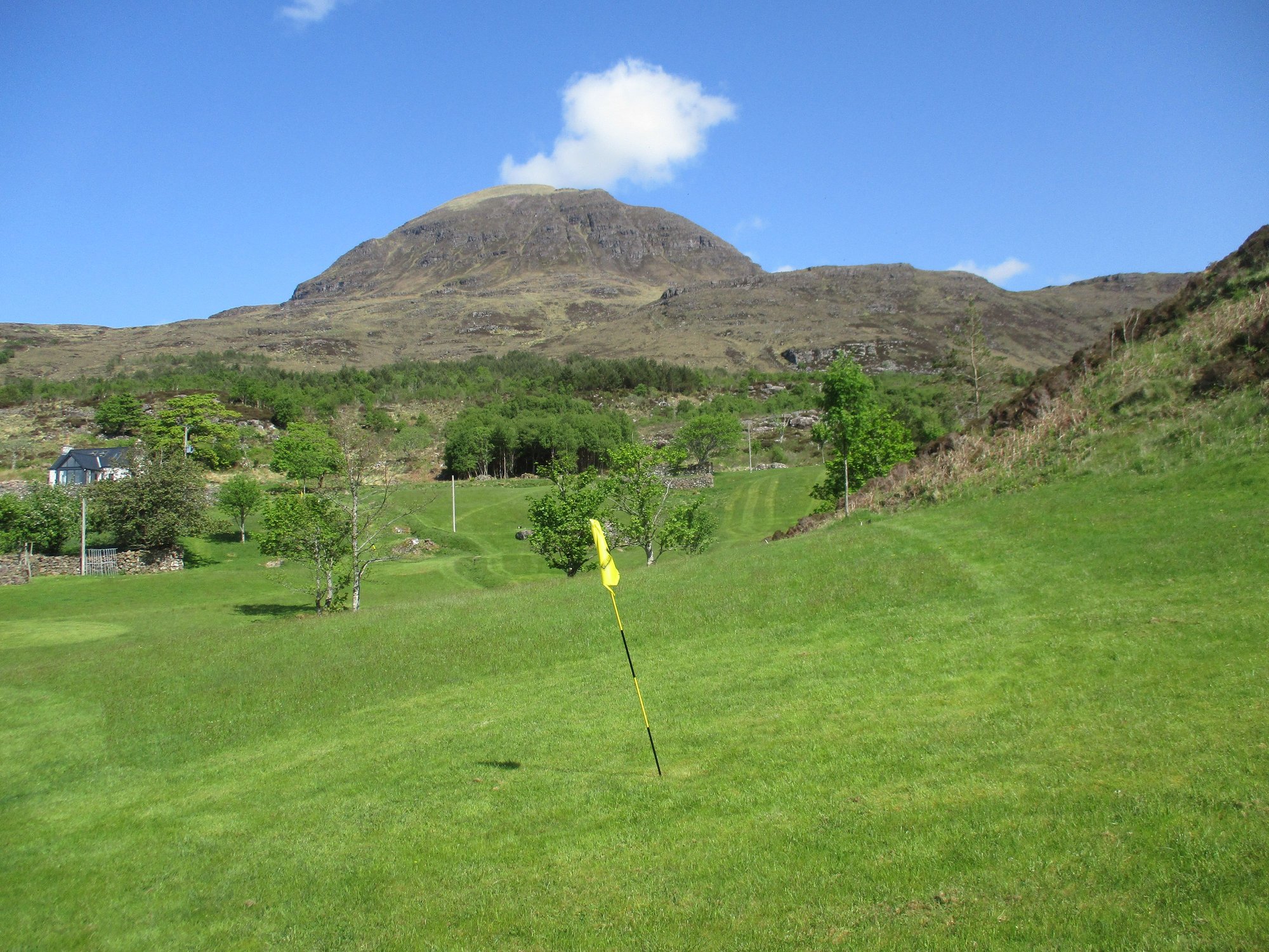
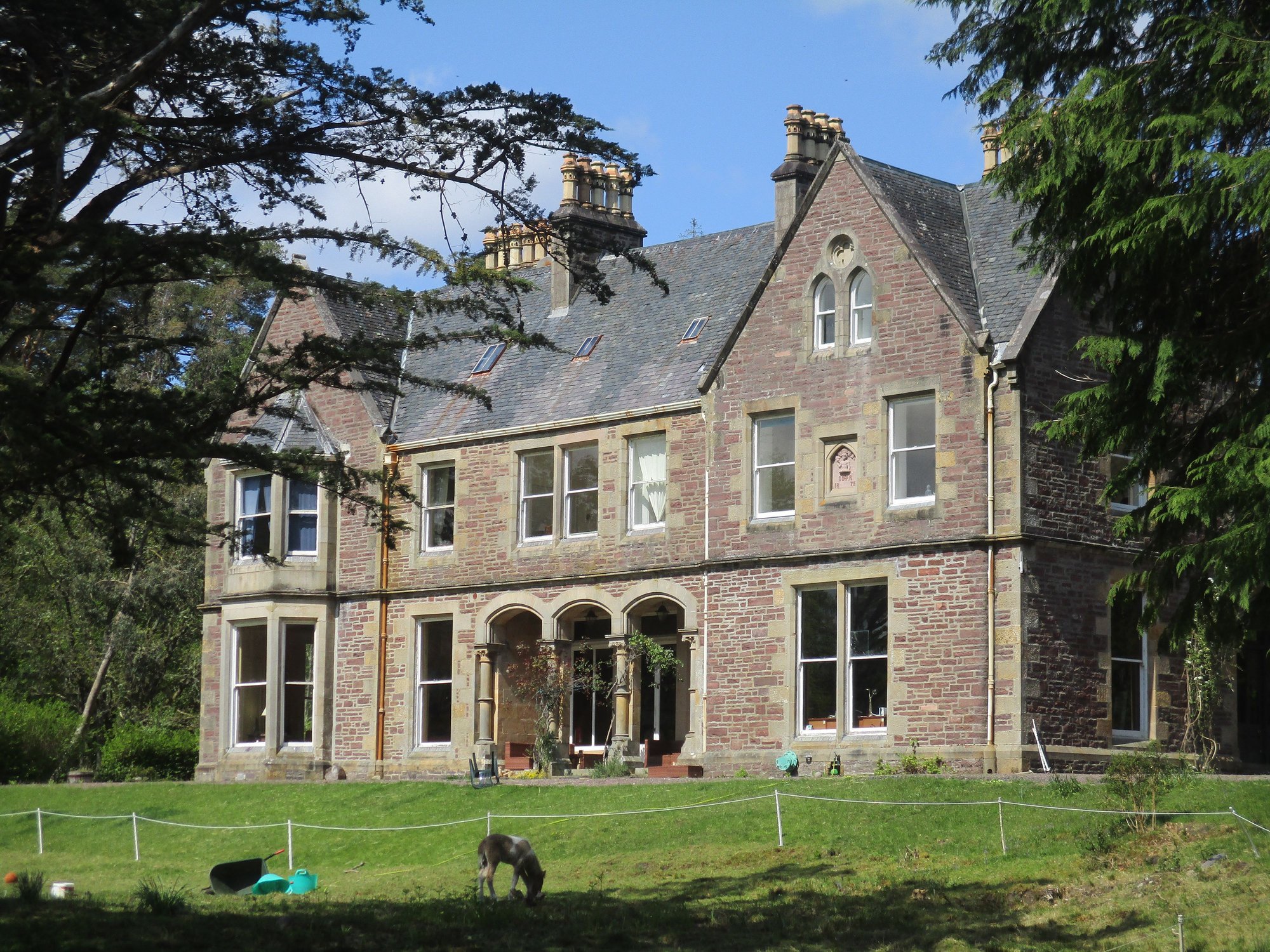
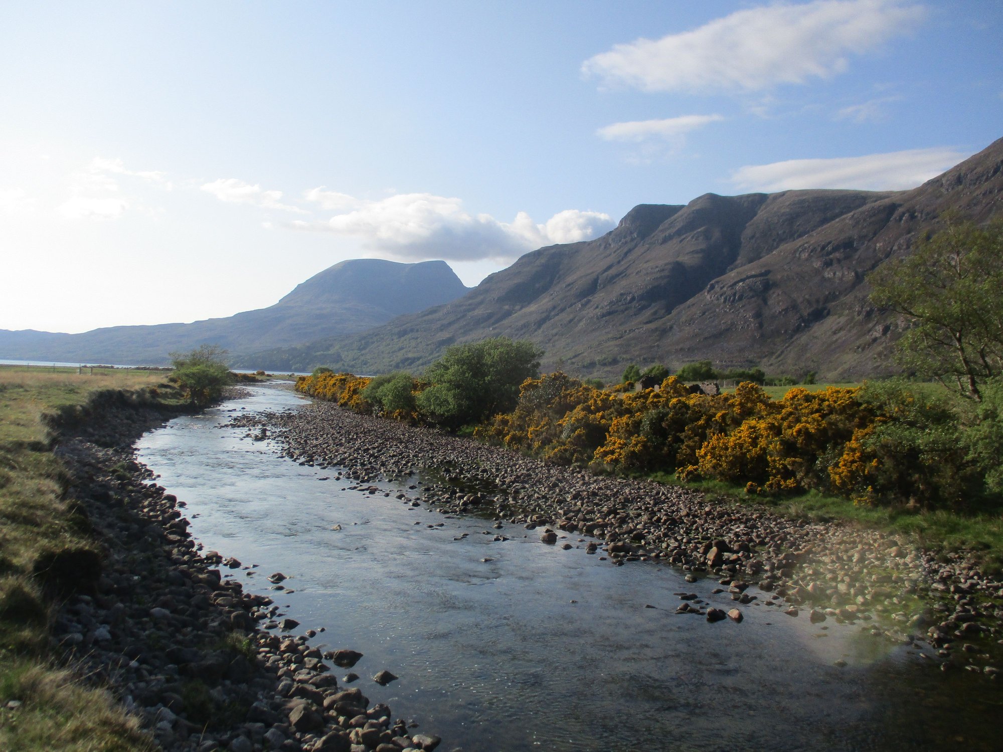
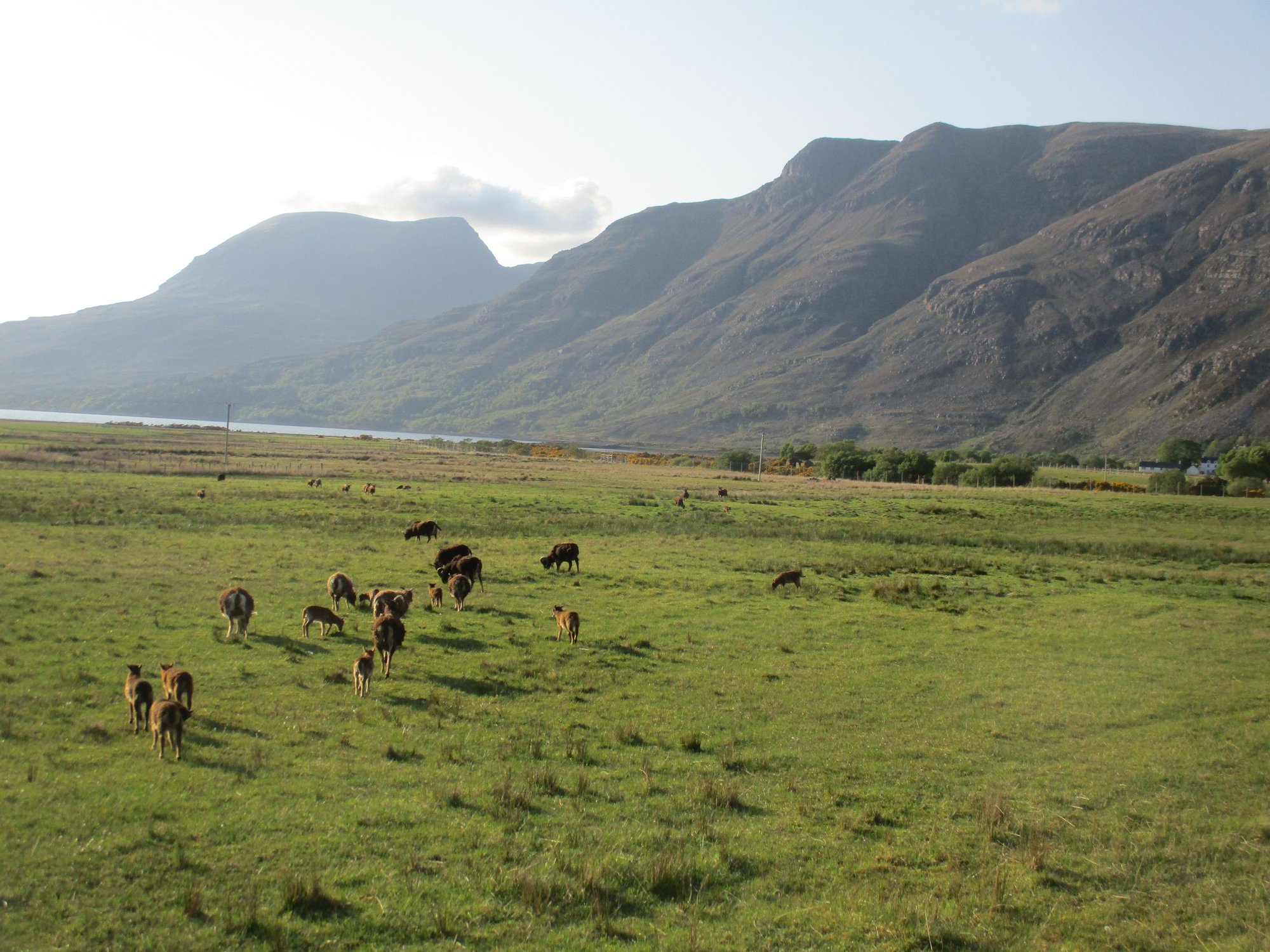
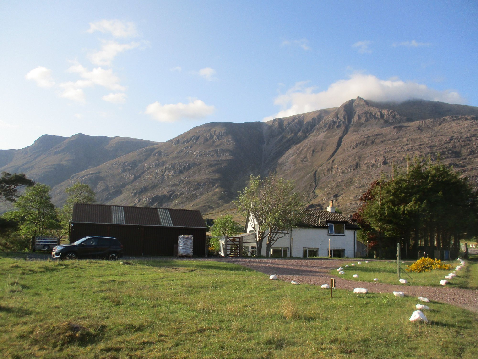
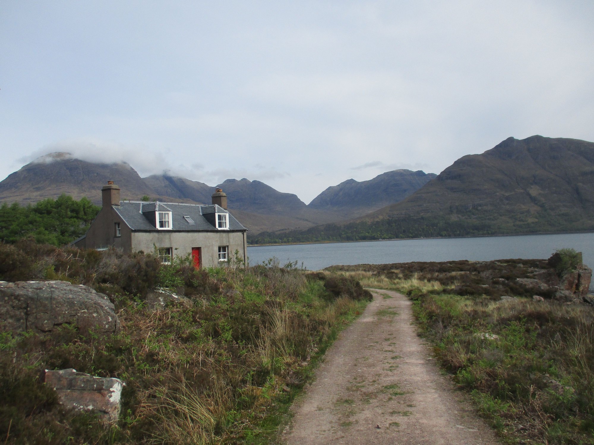
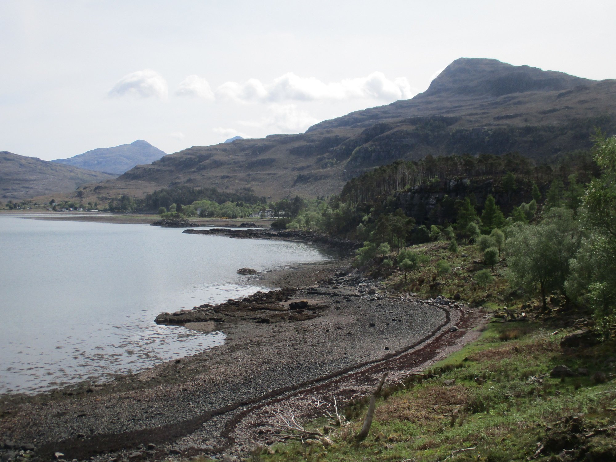
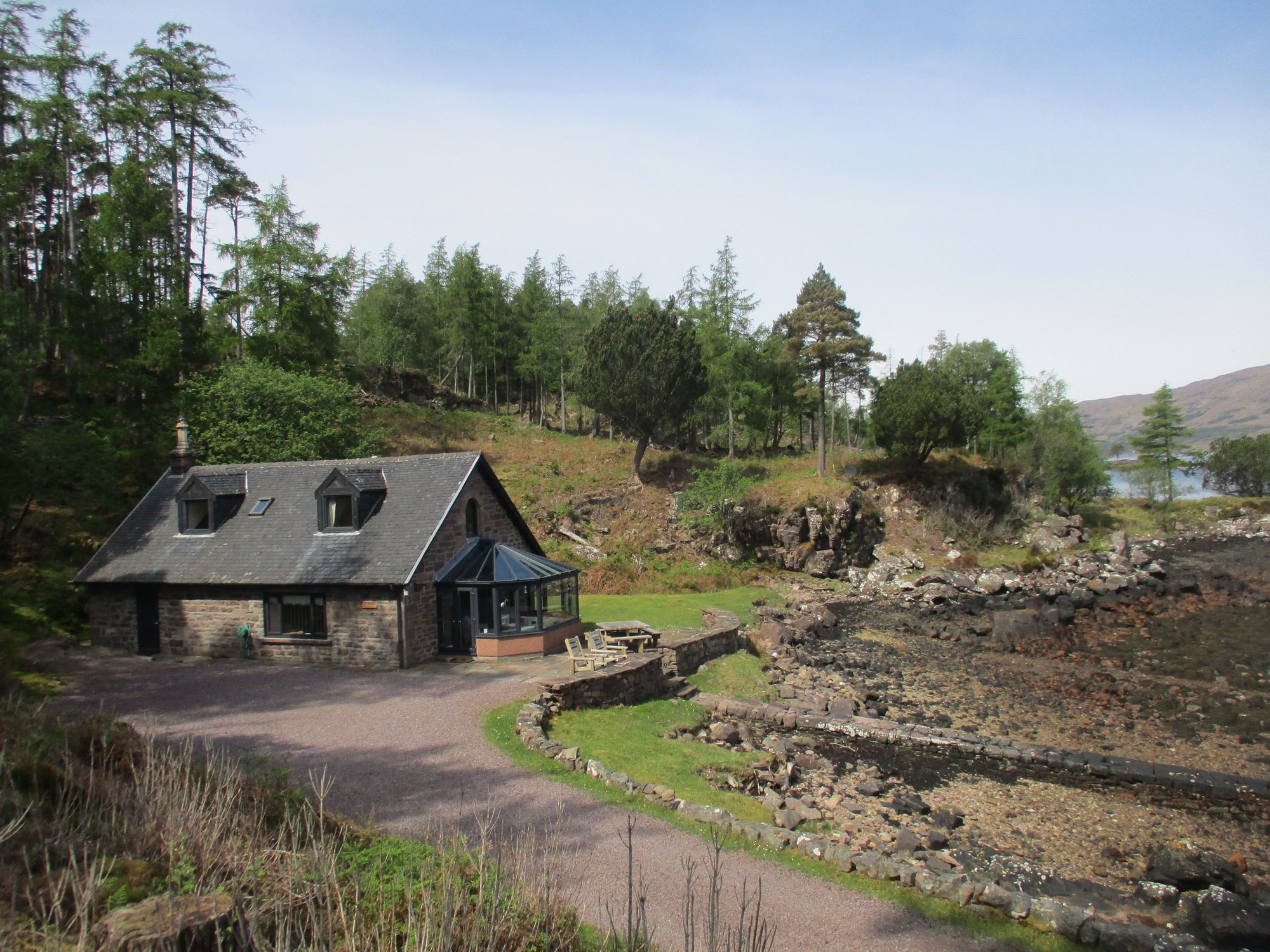
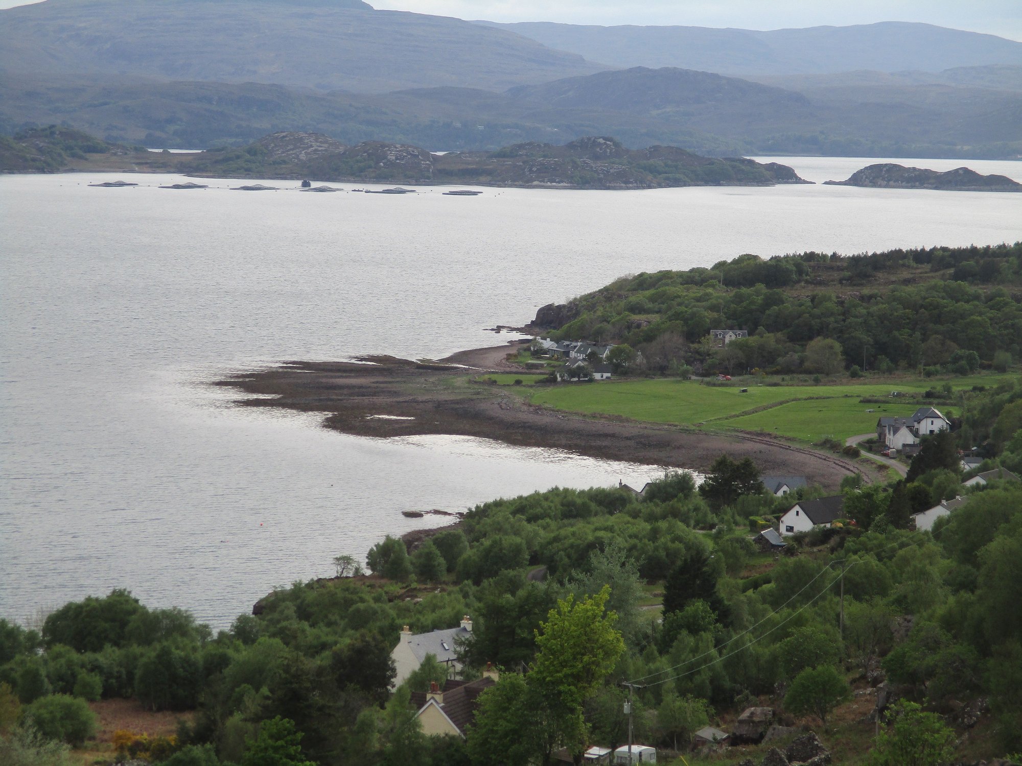
Driving through Glen Torridon had given us a sneak preview of what to expect over our next three days (just wow!). We headed to our Airbnb (one of our best experiences ever), located in an idyllic spot along the shores of Loch Torridon to be warmly received by our hosts, and their adorable golden retriever.
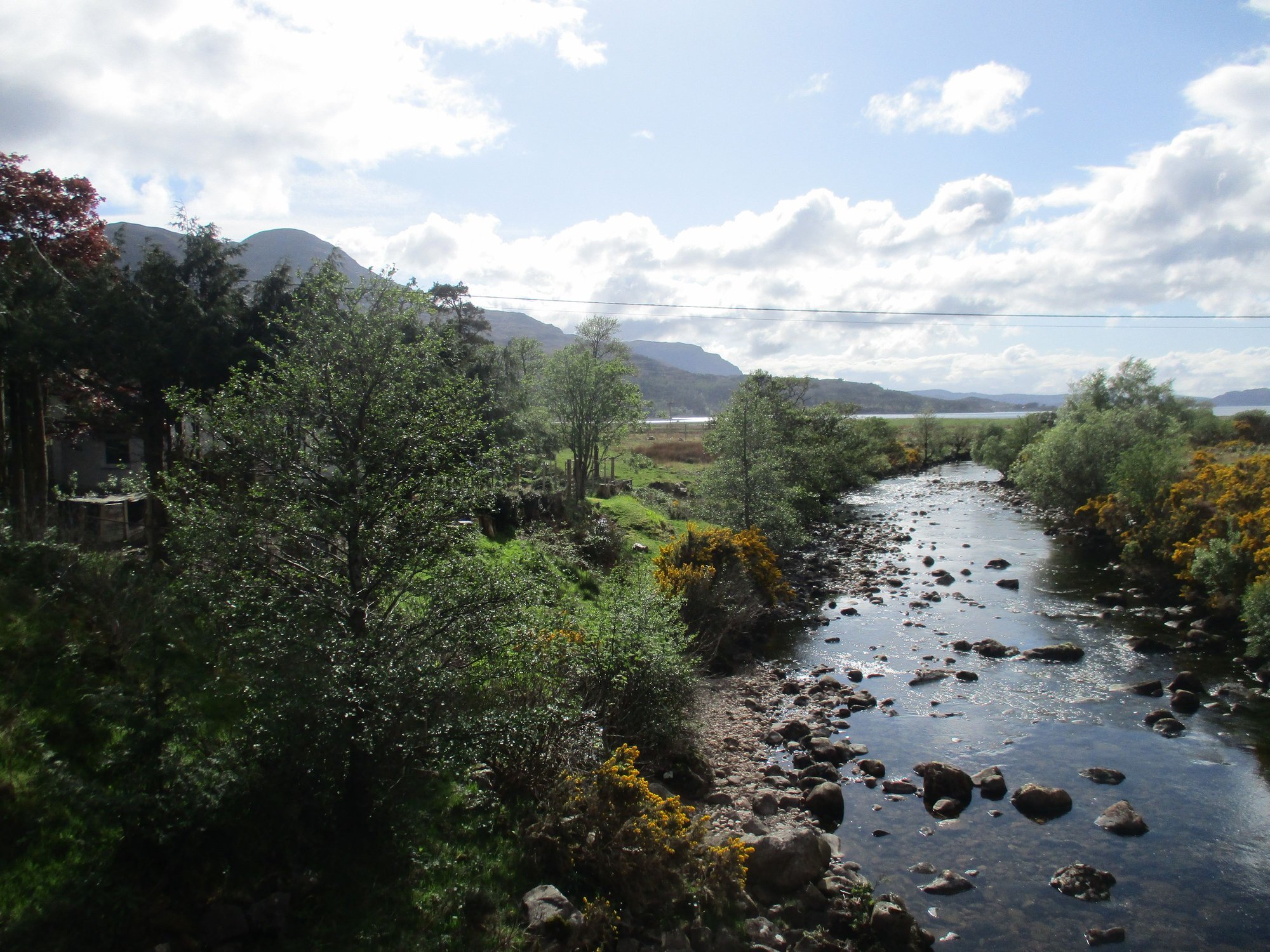
The river Torridon flows by our B&B
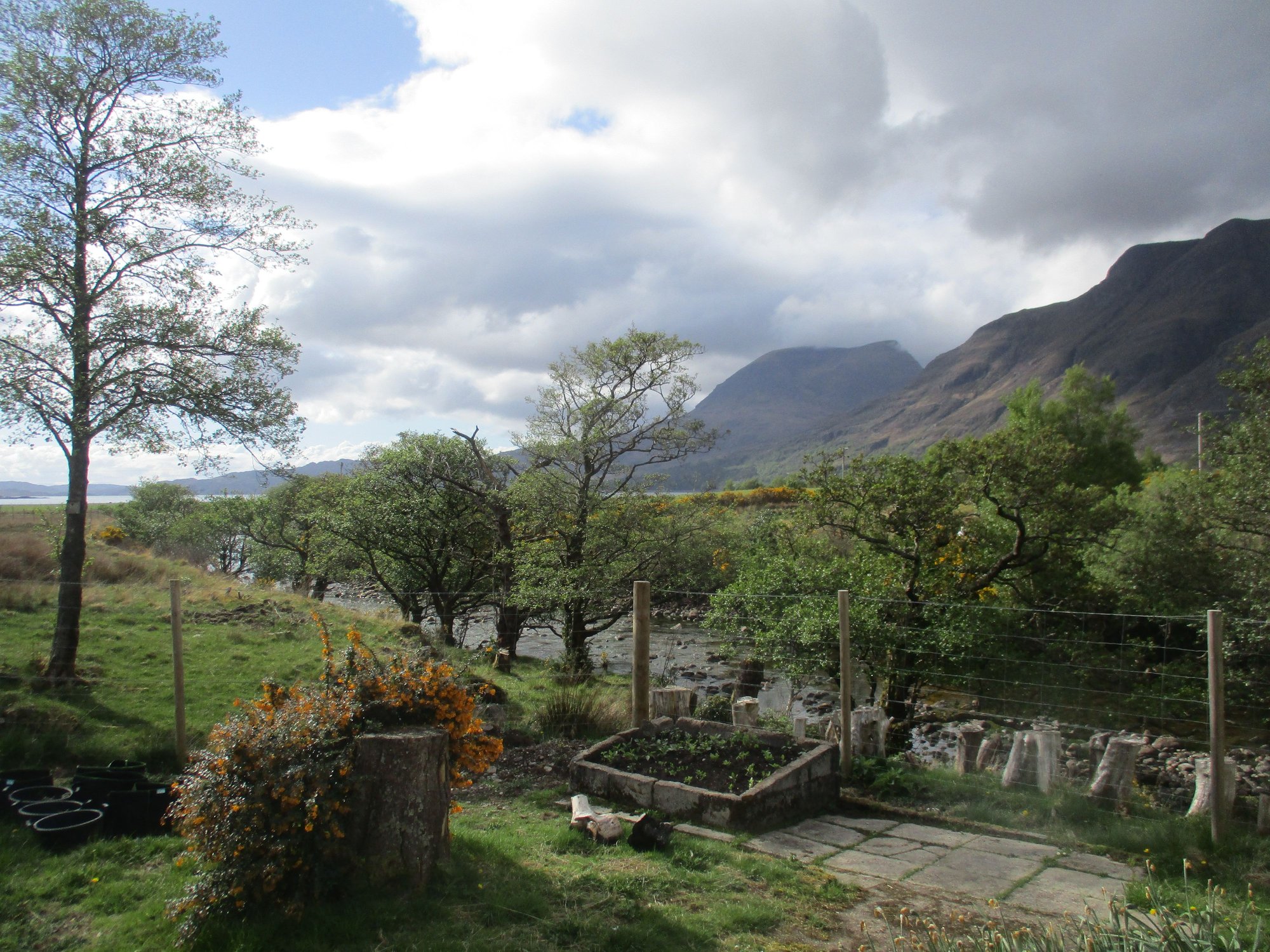
B&B grounds
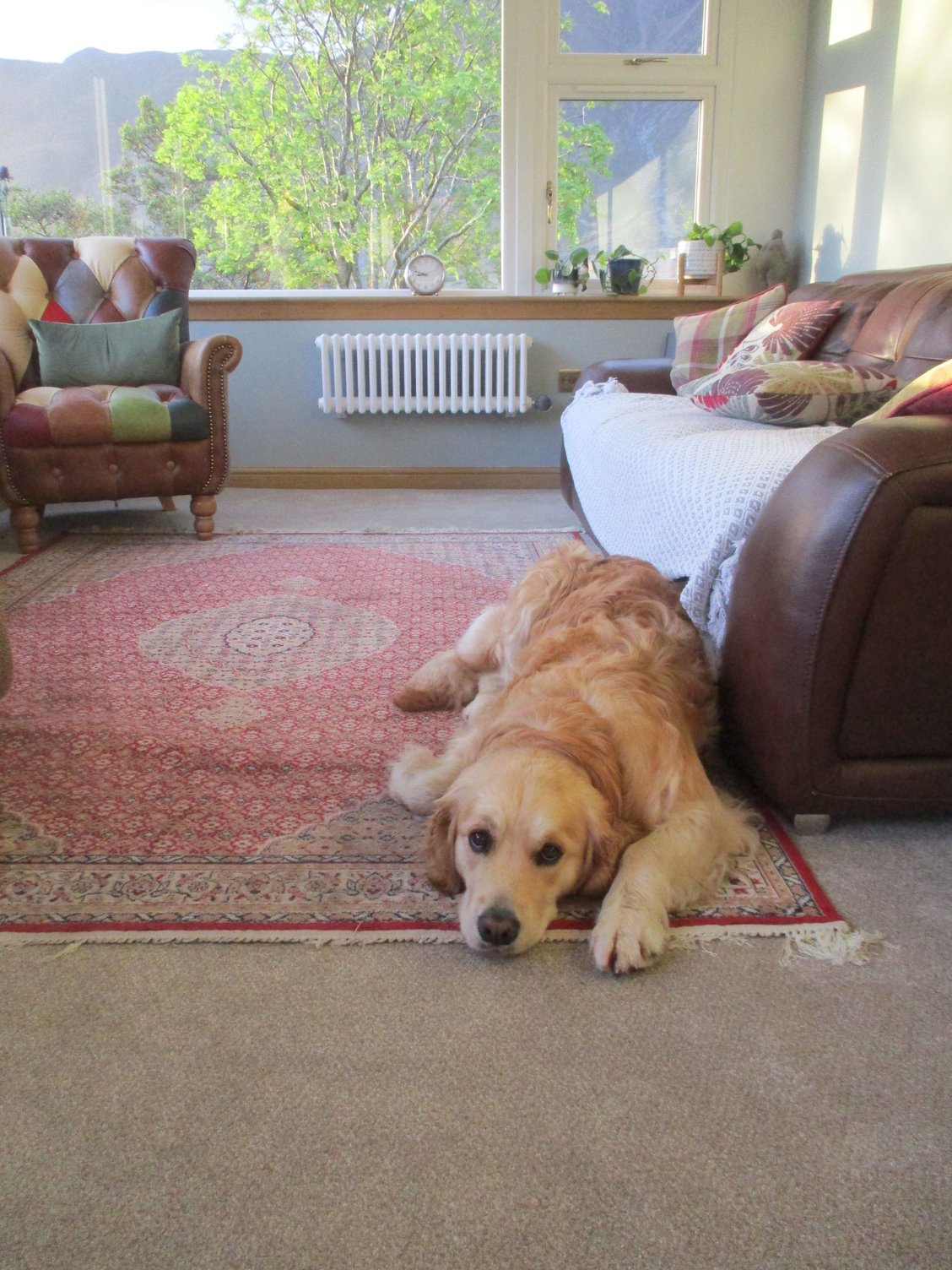
A warm welcome and a daily dose of love and cuddles!
We parked very close to the Falls of Measach and made our way to a (shaky) suspension bridge with an impressive view of the crashing falls. After crossing the bridge, there's a wooded path to a metal platform offering another terrific viewpoint.
From suspension bridge, view of falls crashing down,
The suspension bridge
View of bridge and falls from the metal platform
We then joined the A832 which winds its way around the coast all the way to Kinlochewe, stopping regularly to enjoy the scenery.
Along the route
Along the route
Along the route
Gruinard Bay, along the route
A minor detour led us to the remote Mellon Udrigle beach, hidden behind farmland and pastures.
Passing through farmlands
Mellon Udrigle Beach
Mellon Udrigle Beach
We continued onwards to Gairloch....
Near Poolewe
At Poolewe
View over Gairloch
View over Gairloch Beach
,.... followed by a minor detour to Badachro for a quick meal.
Badachro Inn
Badachro Inn
Seals basking on a rock in the bay at Badachro, as we left
As we drove down the western shore of Loch Maree, we pulled over to enjoy the stunning and much-photographed Lone Pine Tree viewpoint with Slioch in the background.
The lone pine tree viewpoint
We made another stop further down the shore by the Beinn Eighe Reserve Car Park, which offers two trails. We just chose to linger and enjoy some sunshine, after a sudden shower abated.
Loch Maree
Beinn Eighe
Loch Maree, the sun comes out
We made our way to the Glen Docherty viewpoint beyond Kinlochewe, one of the most iconic views along the NC500. Absolutely breathtaking!
Glen Docherty viewpoint
We rejoined the A896 which cuts through the stunning Glen Torridon, stopping for a short walk at the Coulin Estate along the shores of Loch Clair, with our first sighting of the mighty Liathach.
Beinn Eighe pops its head, en route to Torridon
At the shores of Loch Clair
Loch Clair, Liathach looms over
Glen Torridon
Driving through Glen Torridon had given us a sneak preview of what to expect over our next three days (just wow!). We headed to our Airbnb (one of our best experiences ever), located in an idyllic spot along the shores of Loch Torridon to be warmly received by our hosts, and their adorable golden retriever.
The river Torridon flows by our B&B
B&B grounds
A warm welcome and a daily dose of love and cuddles!
Jun 11th, 2023 | 12:14 AM
#49
Original Poster
Joined: Oct 2005
Posts: 931
Likes: 28
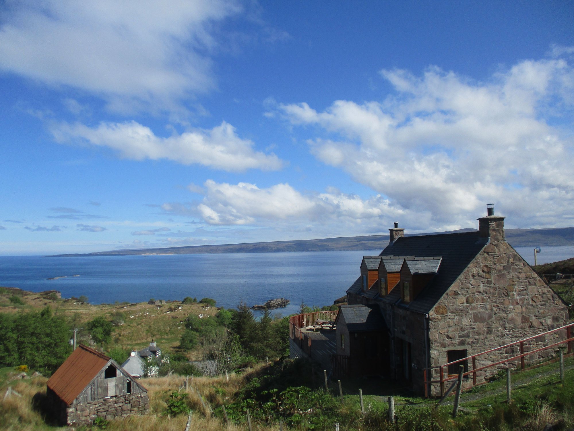
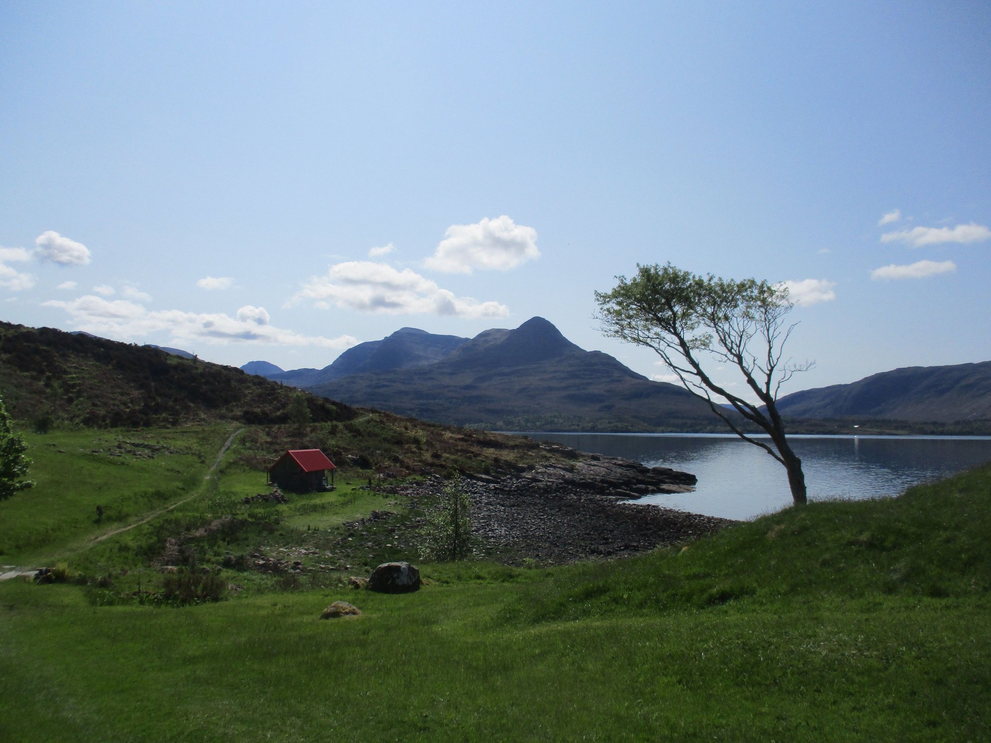
Day 13 : Torridon
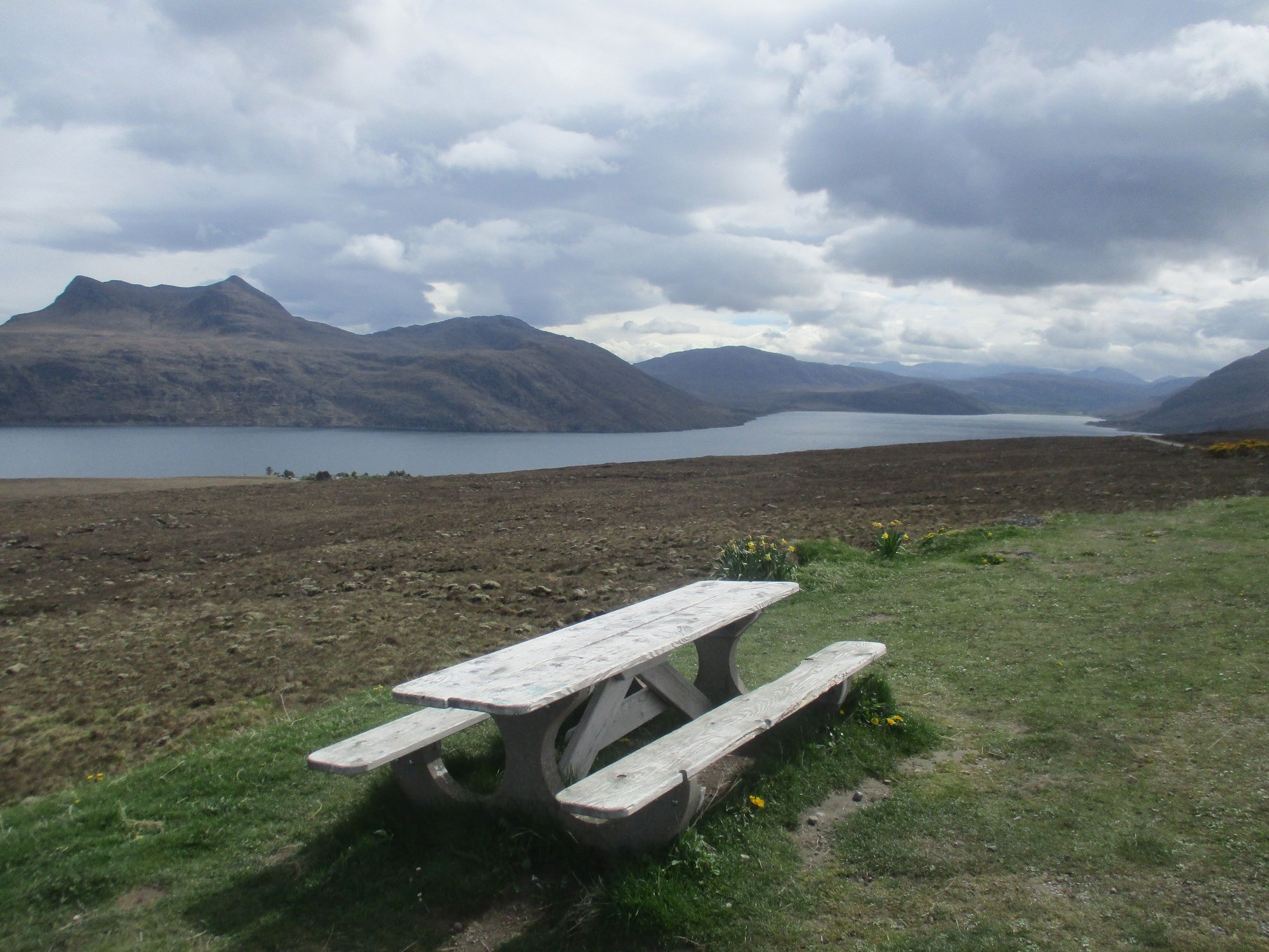
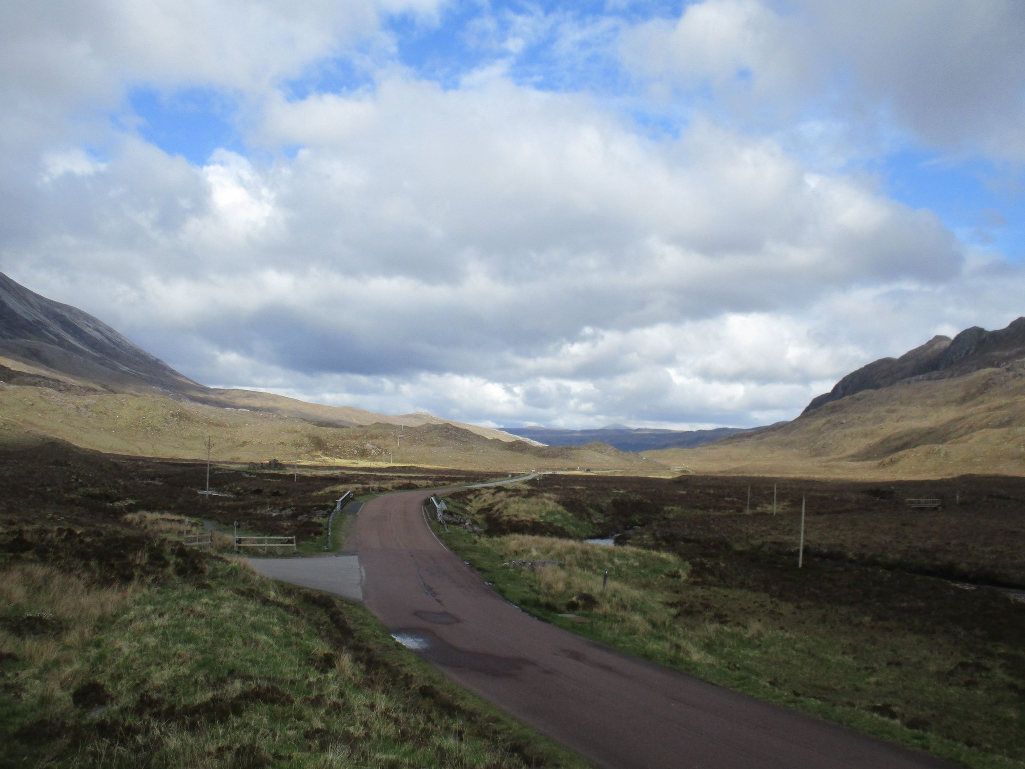
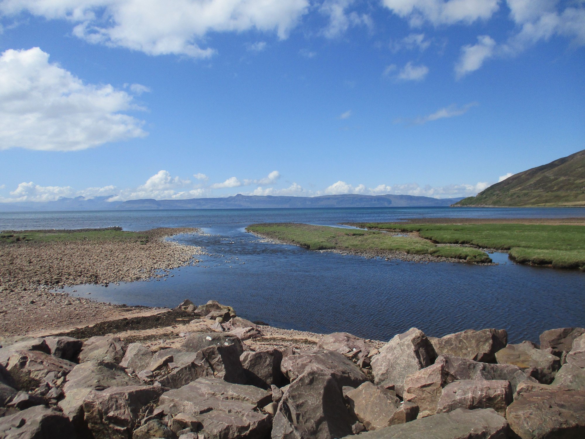
With good weather and clear skies, we set off for Applecross. Our host recommended we take the coastal road to Applecross, and return via the Bealach Na Ba, so we descend the steepest section after crossing the pass. There�s little to choose between which direction to take, the views are sensational regardless.
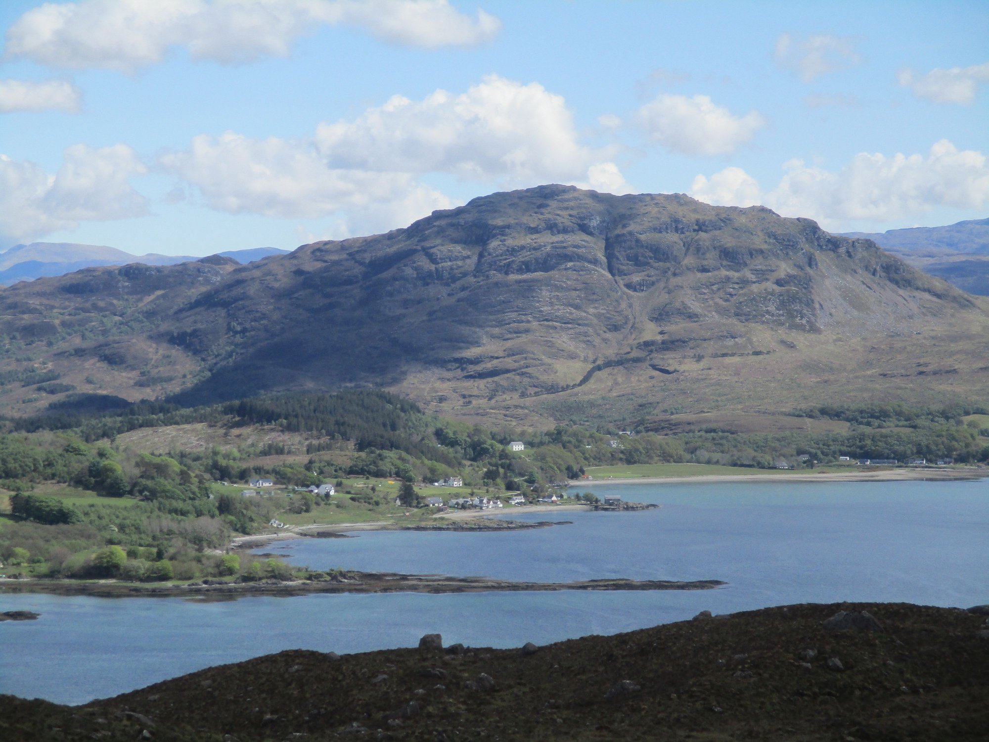
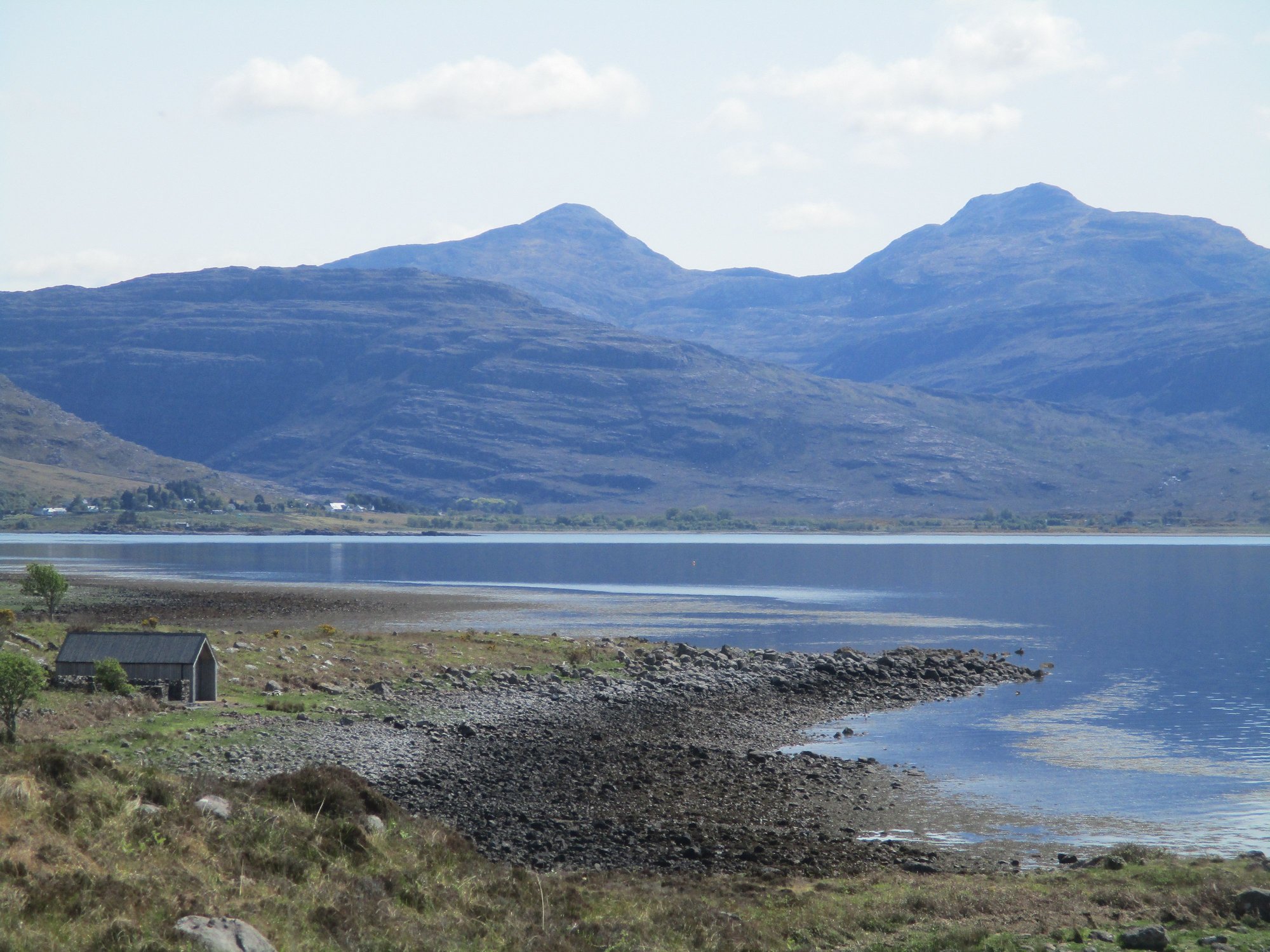
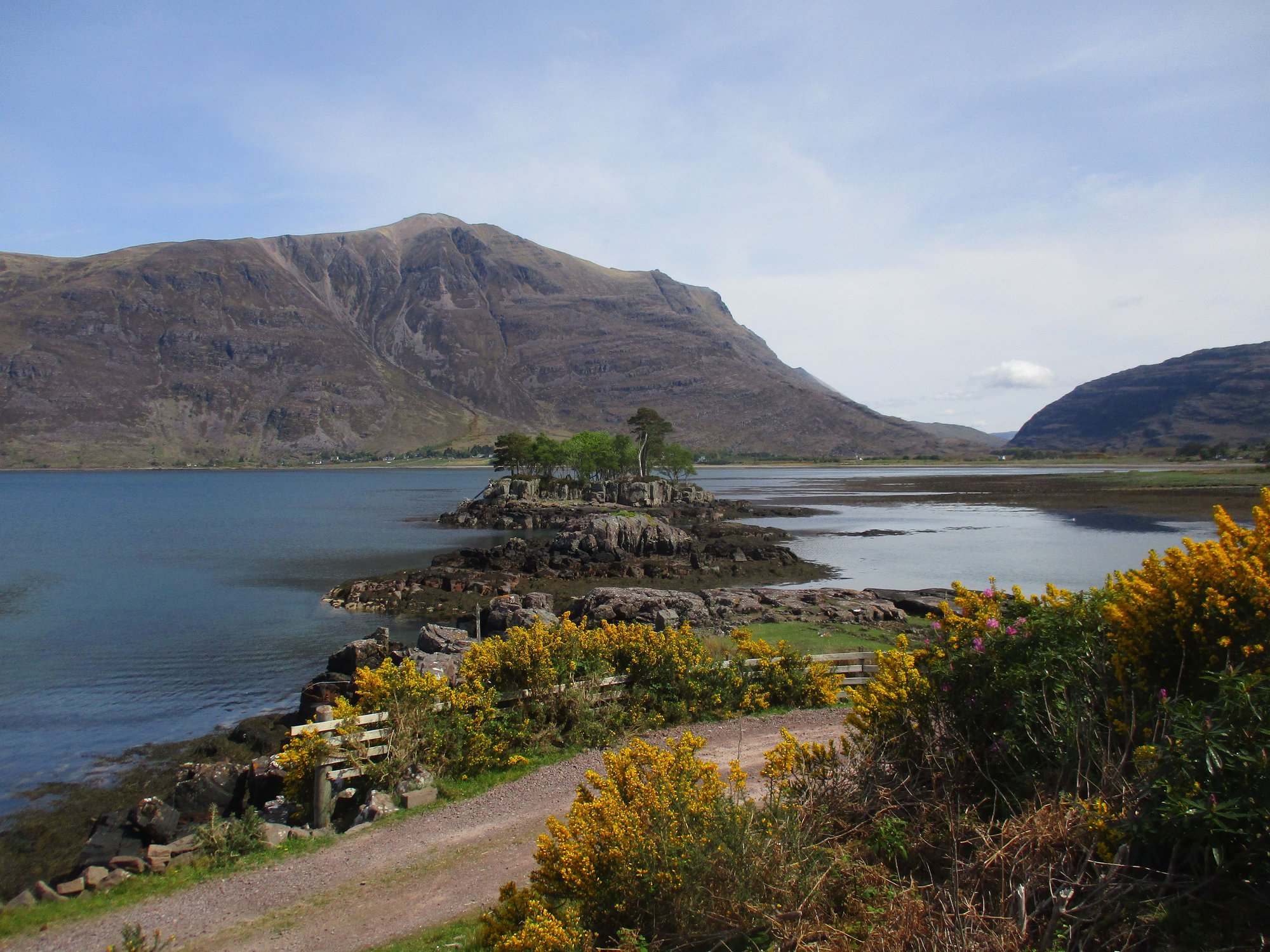
As we drove the A896, our first stop was the panoramic viewpoint over Loch Torridon roughly midway between Annat and Balgy,the photos barely do it justice.
Loch Torridon viewpoint
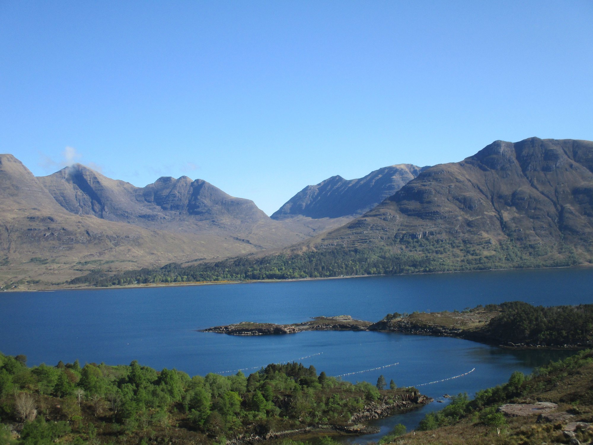
Loch Torridon viewpoint
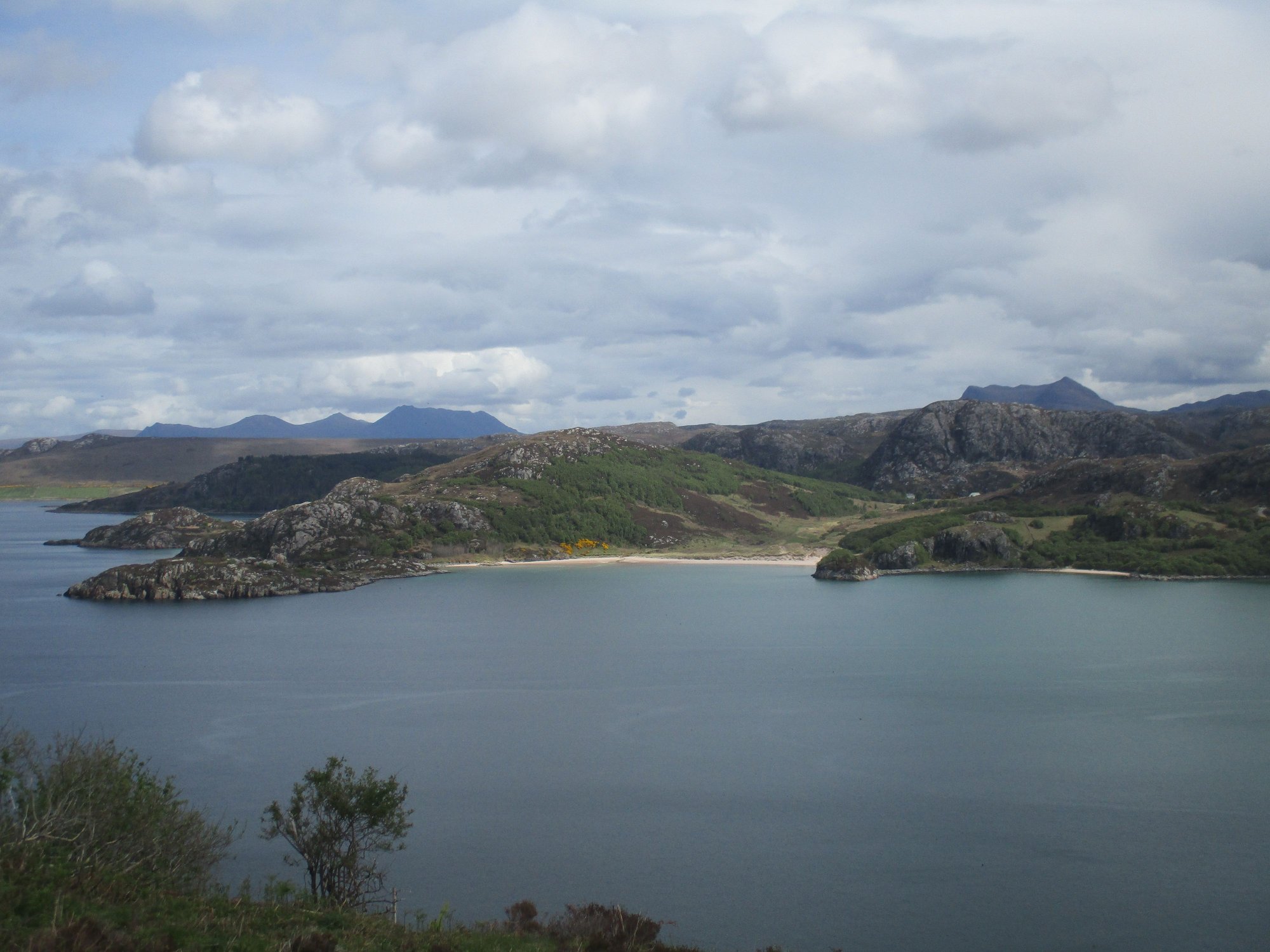
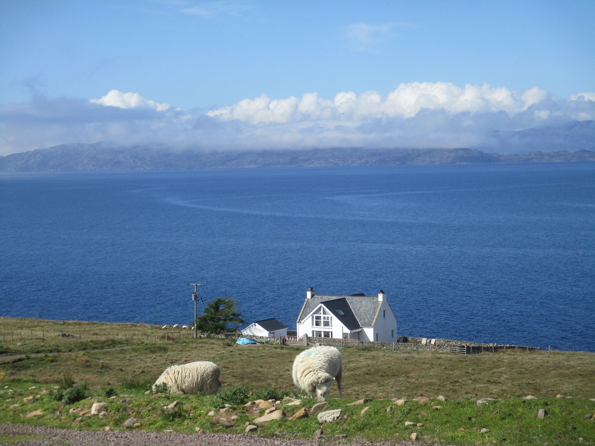
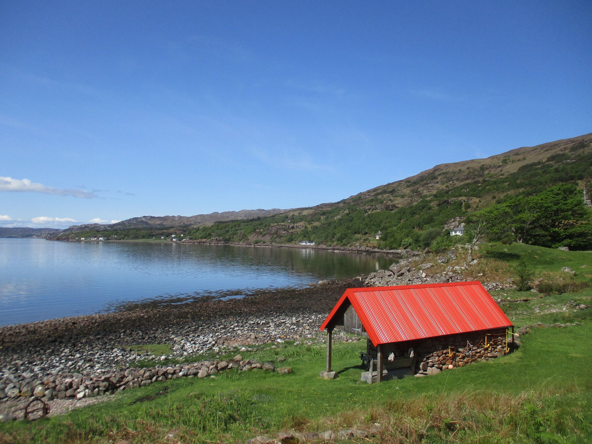
After passing Shieldaig, we branched off to the coastal route. It�s a tortuous single track road, with stunning scenery all around, so enjoy the very slow drive. I�ll let the pictures do the talking.
Driving past Shieldaig
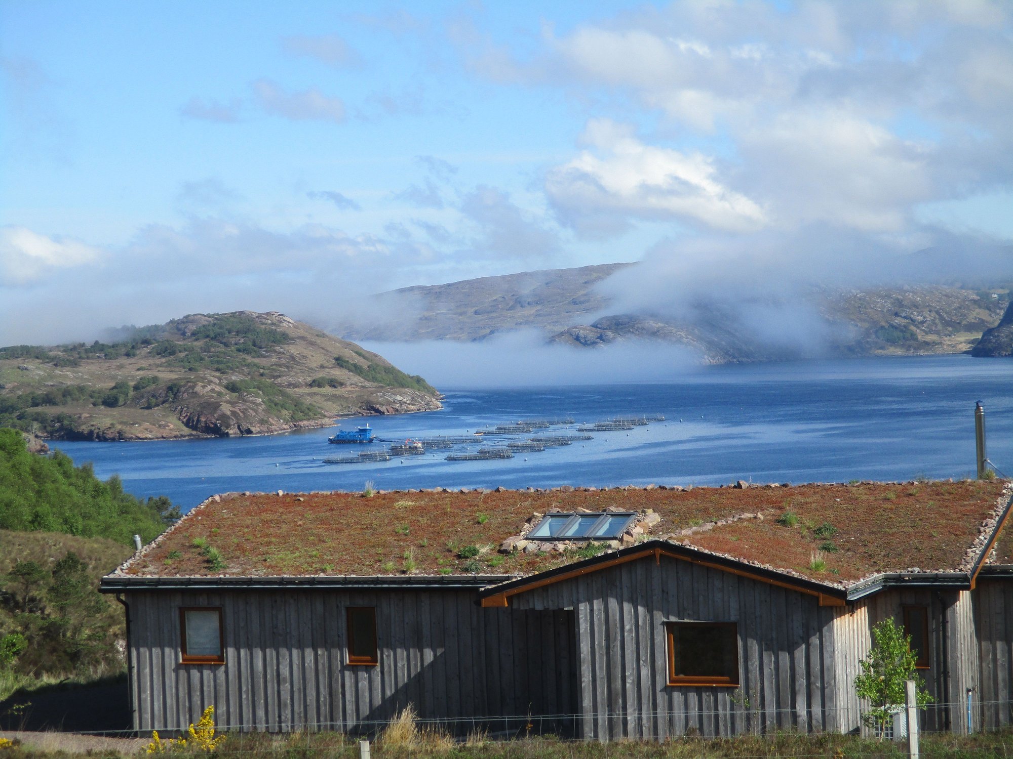
Low lying cloud
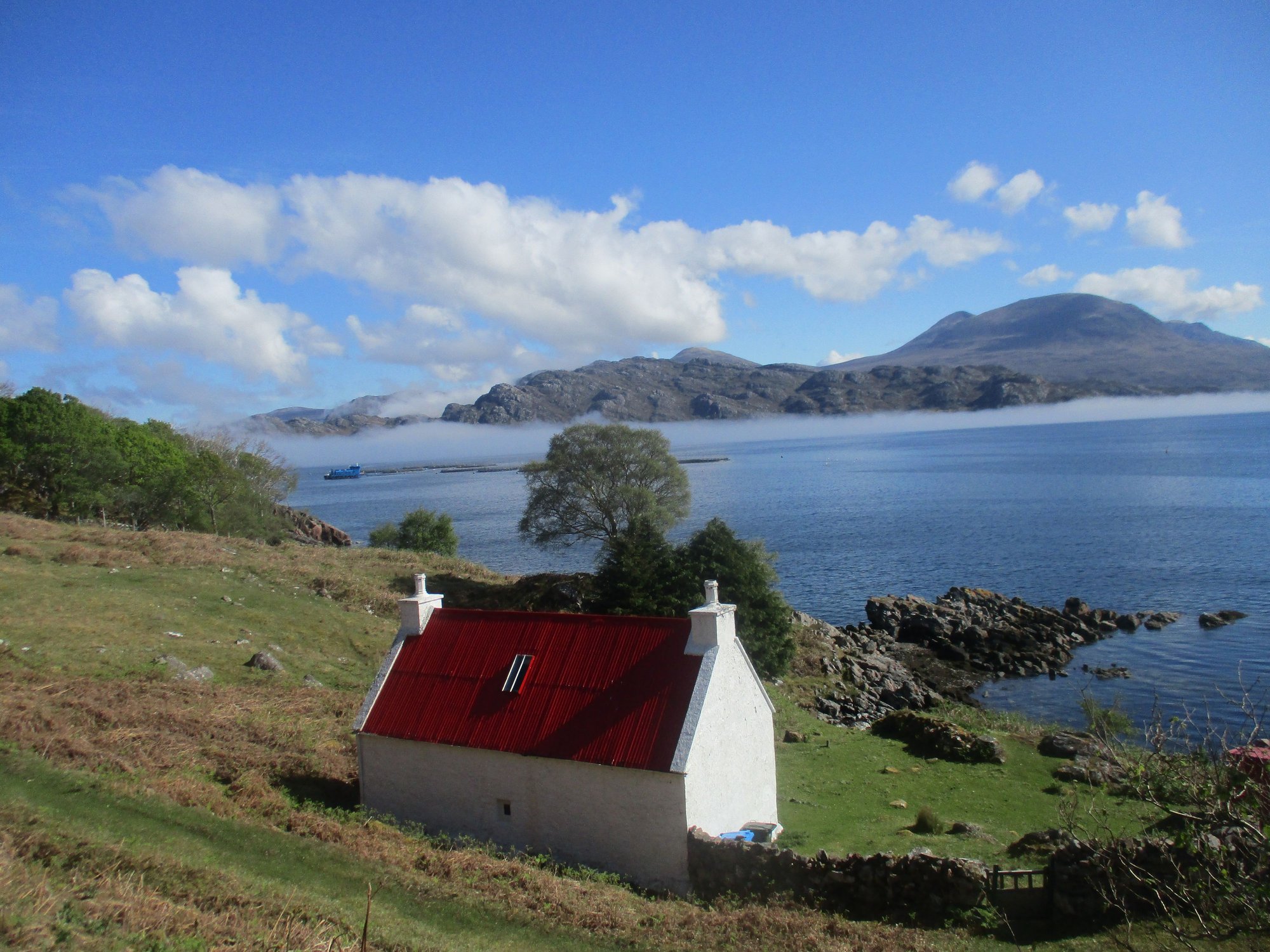
The iconic red roof house near Ardheslaig

The low lying cloud reappears
Croft land near Kenmore
Fearnbeg
Fearnmore
As the road winded south from Fearnmore, views of Rona and Skye in the far distance emerged. Wow!

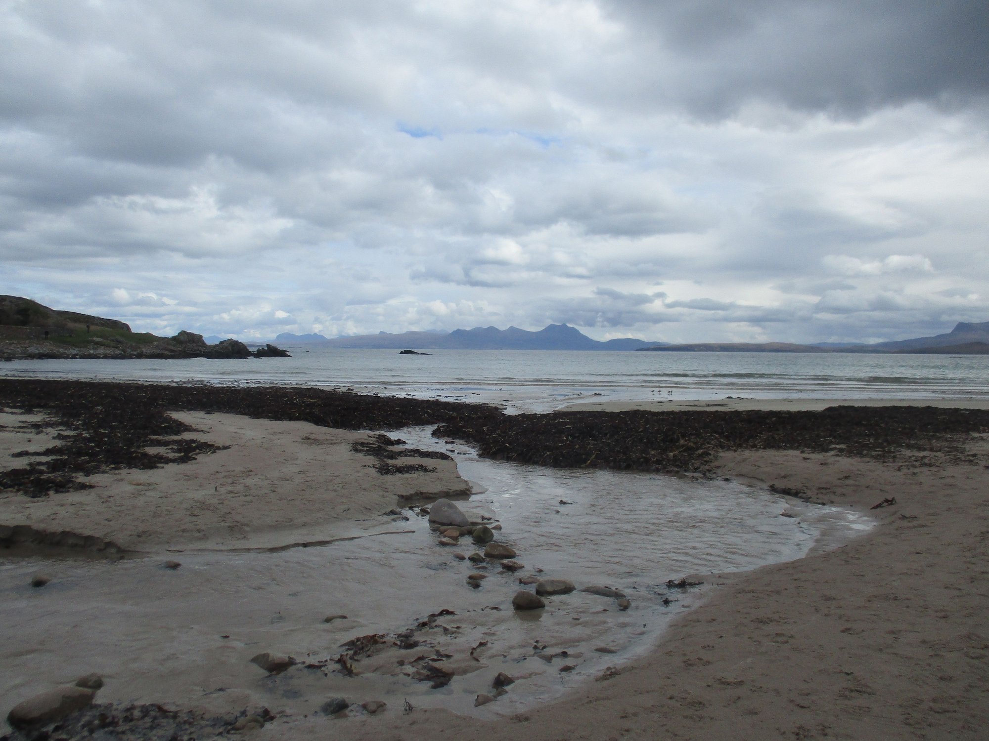
We stopped at the remote Applecross Sands. We were the only ones on this remote beach, until a lady arrived with her little dog.
Applecross Sands

Applecross Sands
The road continued to wind its way around Applecross Bay.
Along the coastal road
Applecross Bay
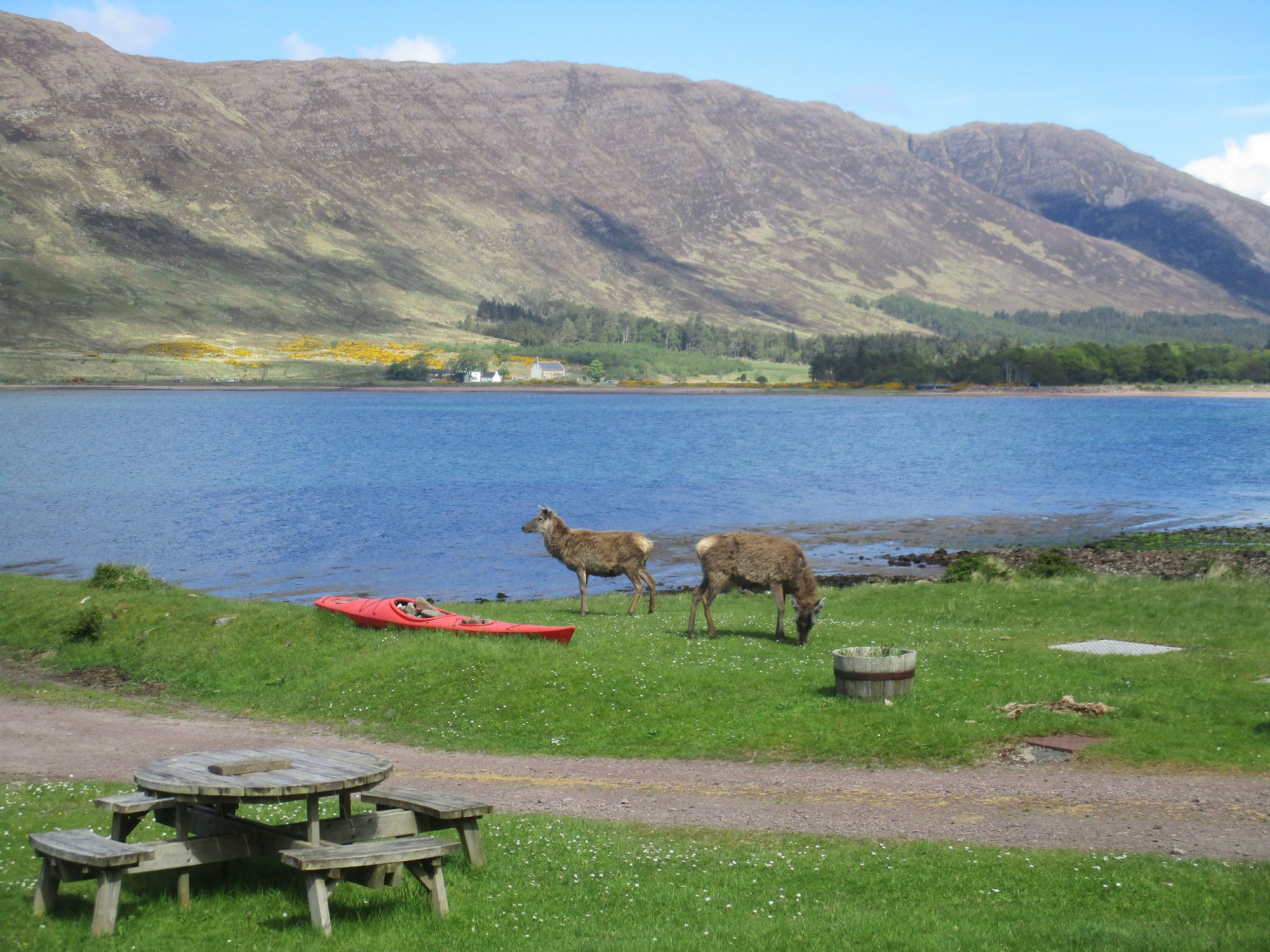
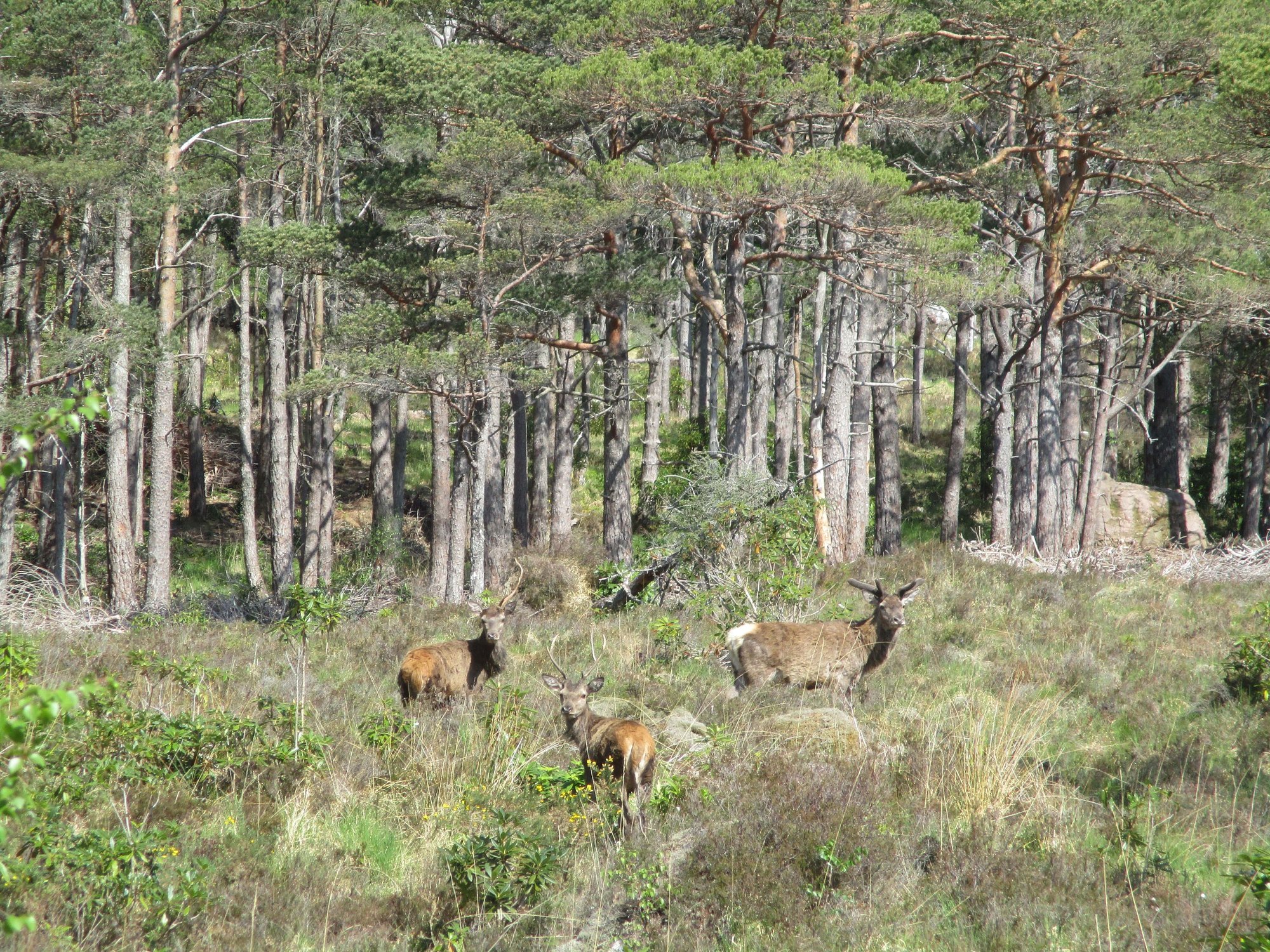
The whole approach to Applecross was beyond words, with deer and highland cows enjoying some sun.
Approaching Applecross
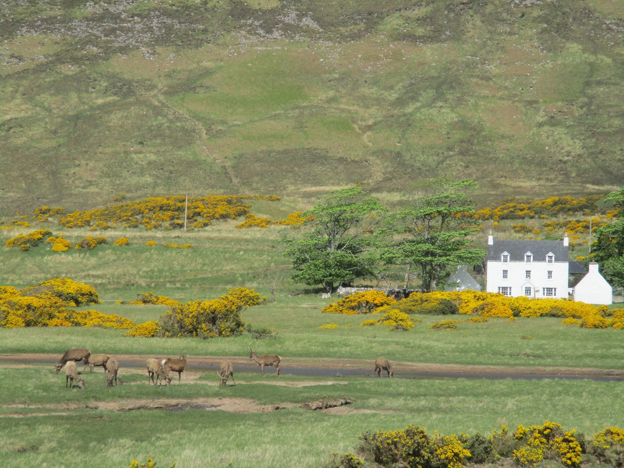
Deer
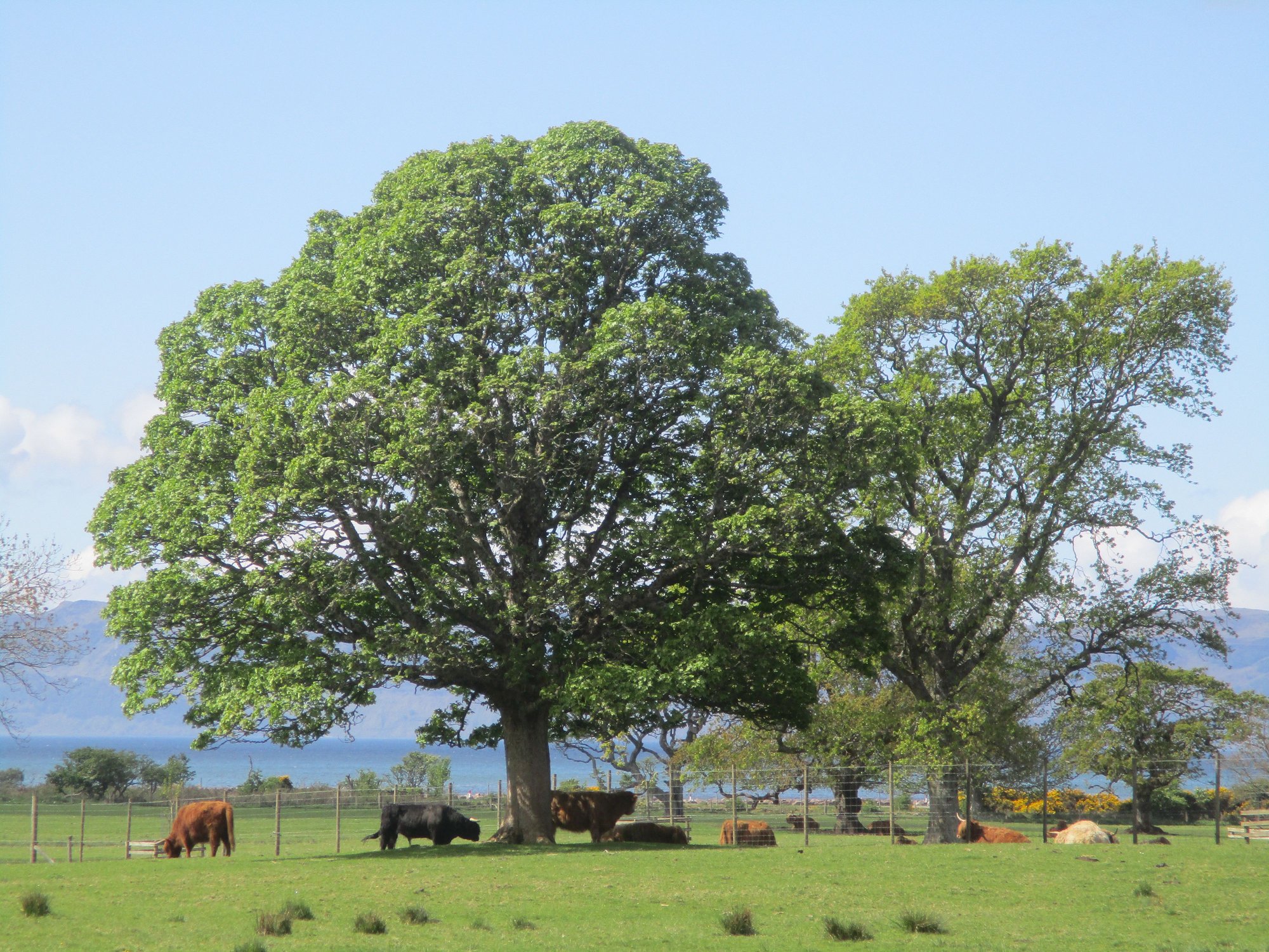
Highland coos
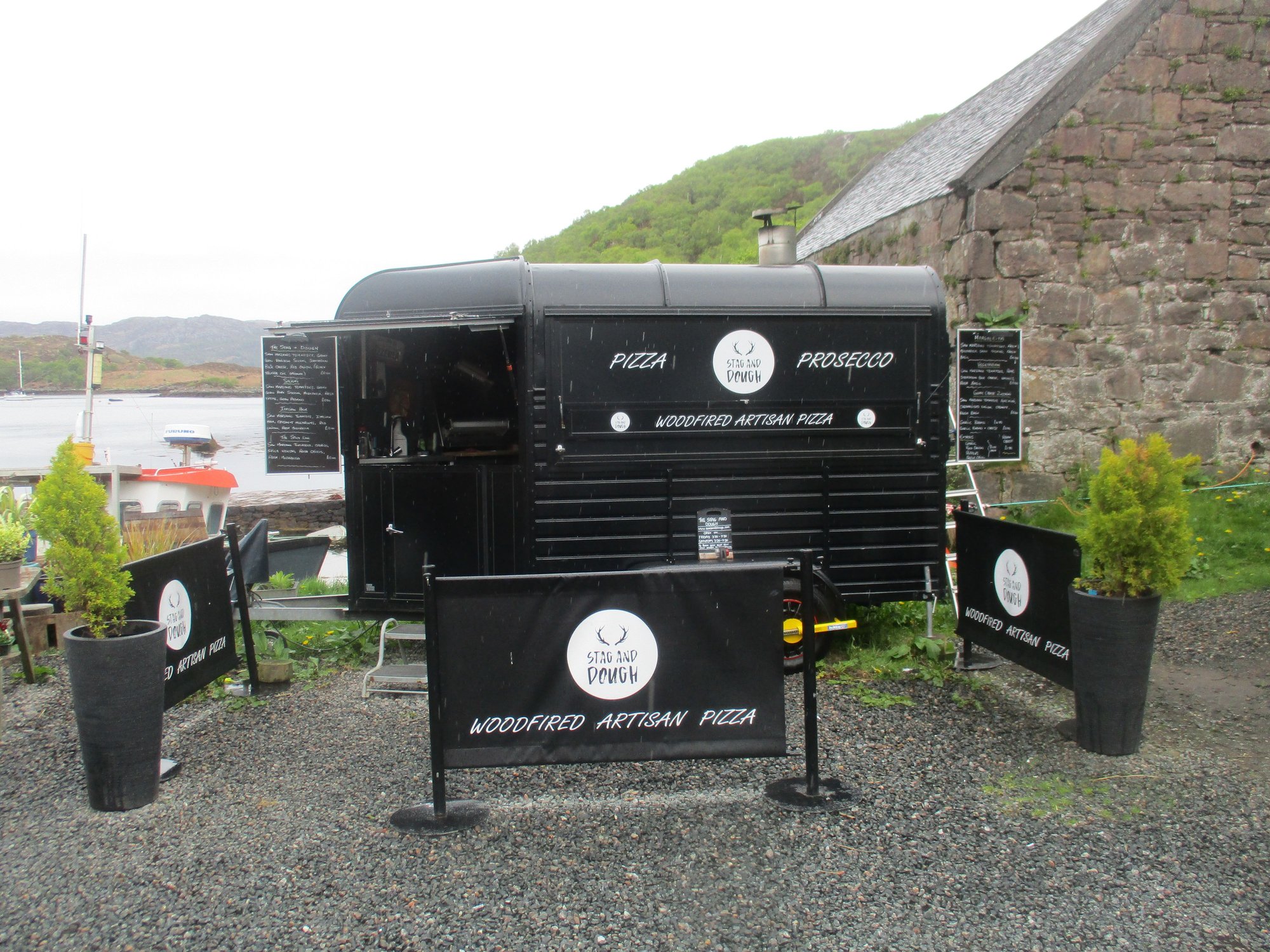
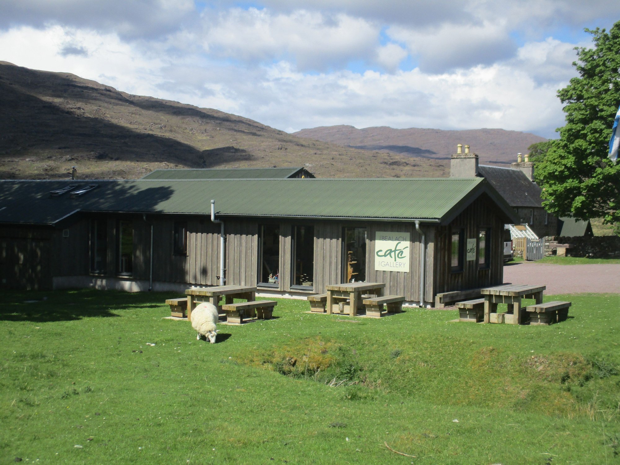
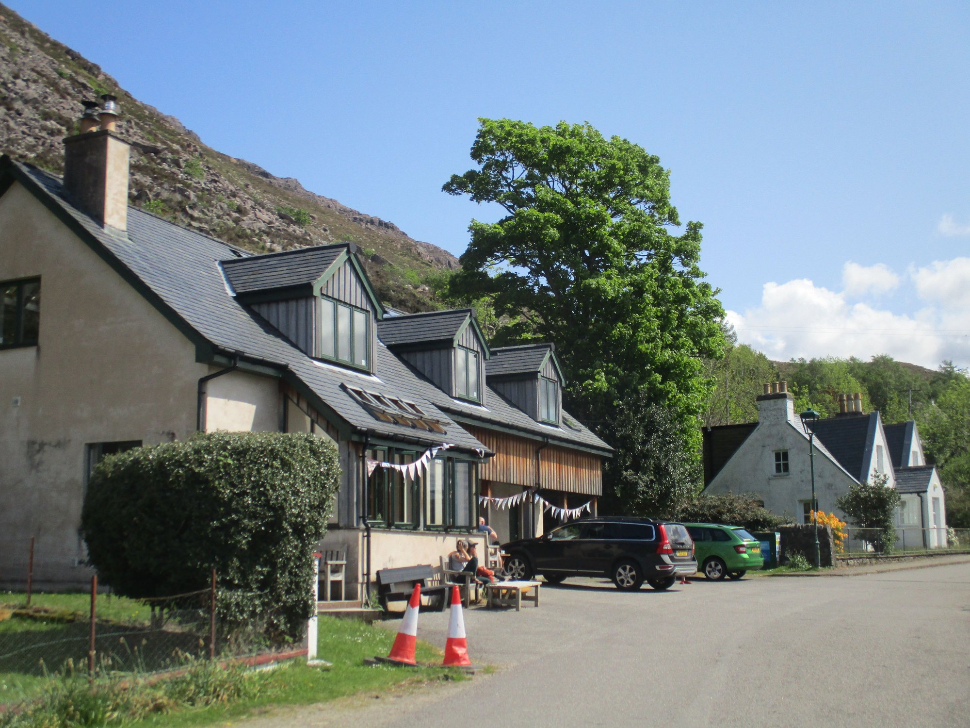
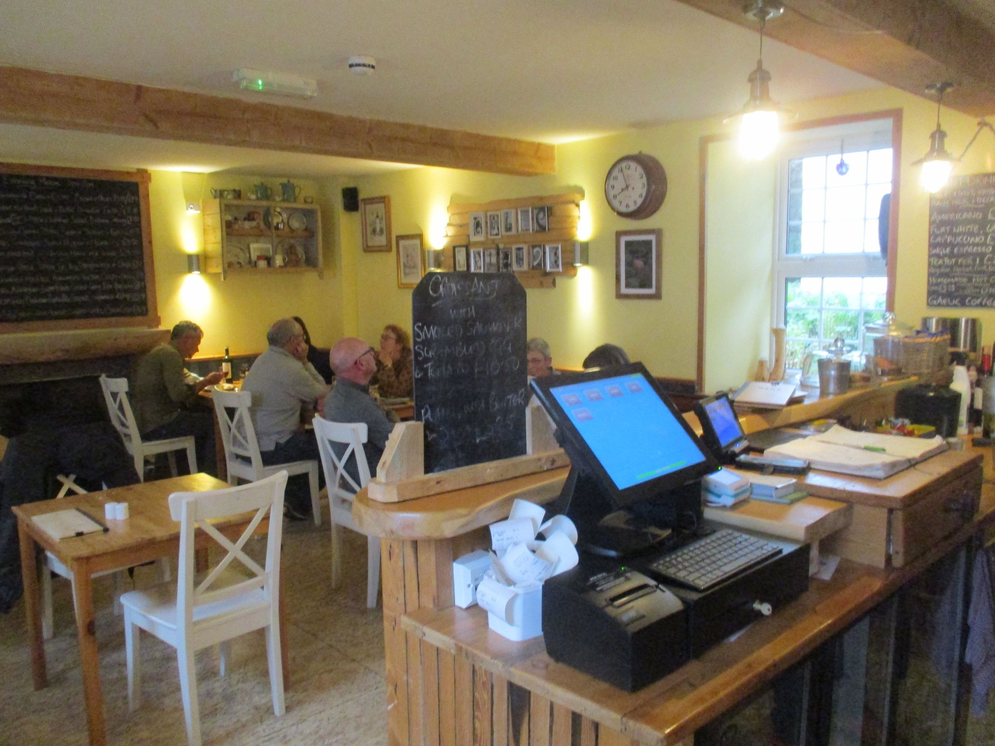
We made two short refuelling breaks � for ourselves at the Walled Garden Cafe, and for our car the historic community-owned petrol station.

Applecross Walled Garden
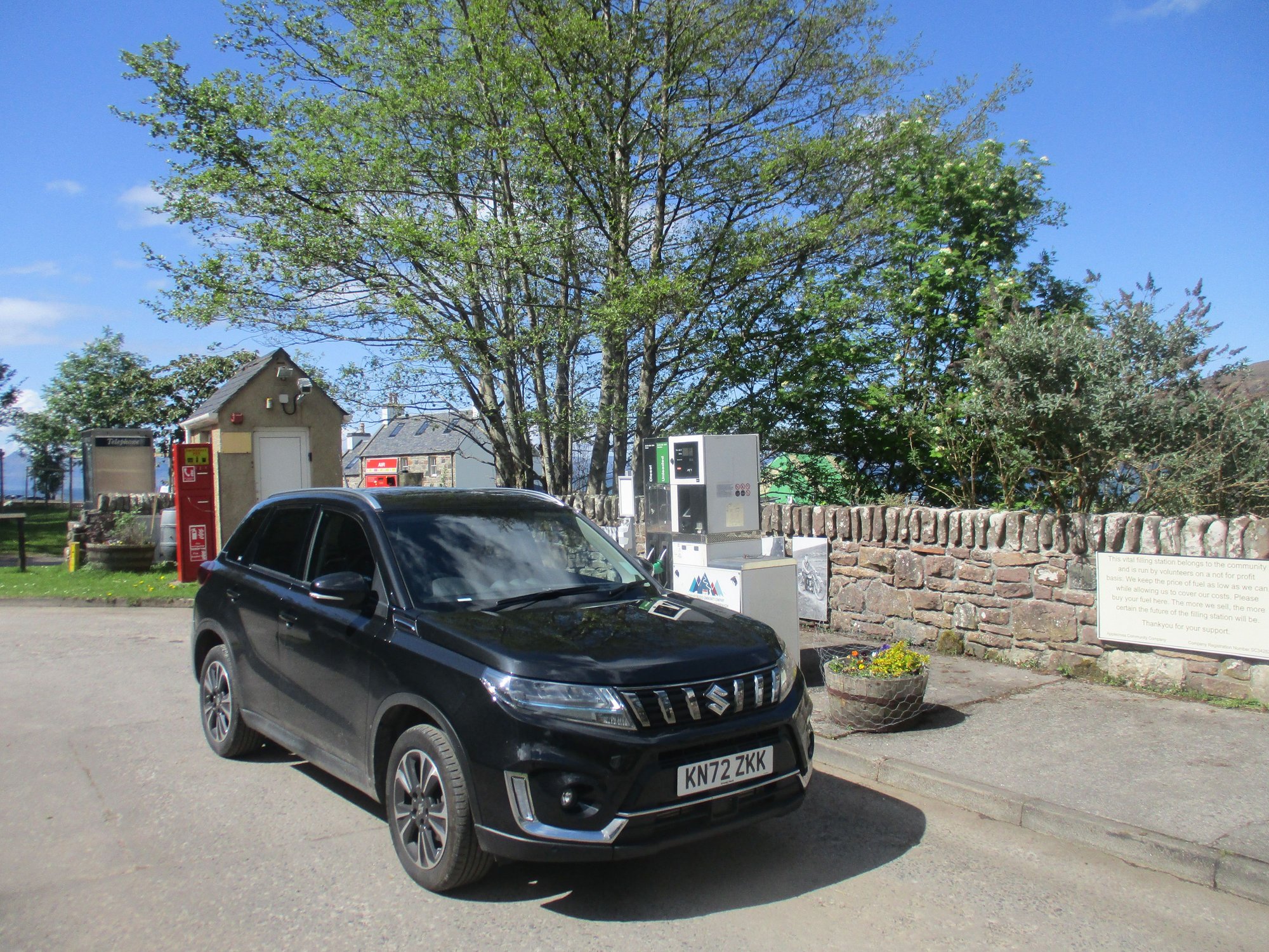
Applecross Community filling station
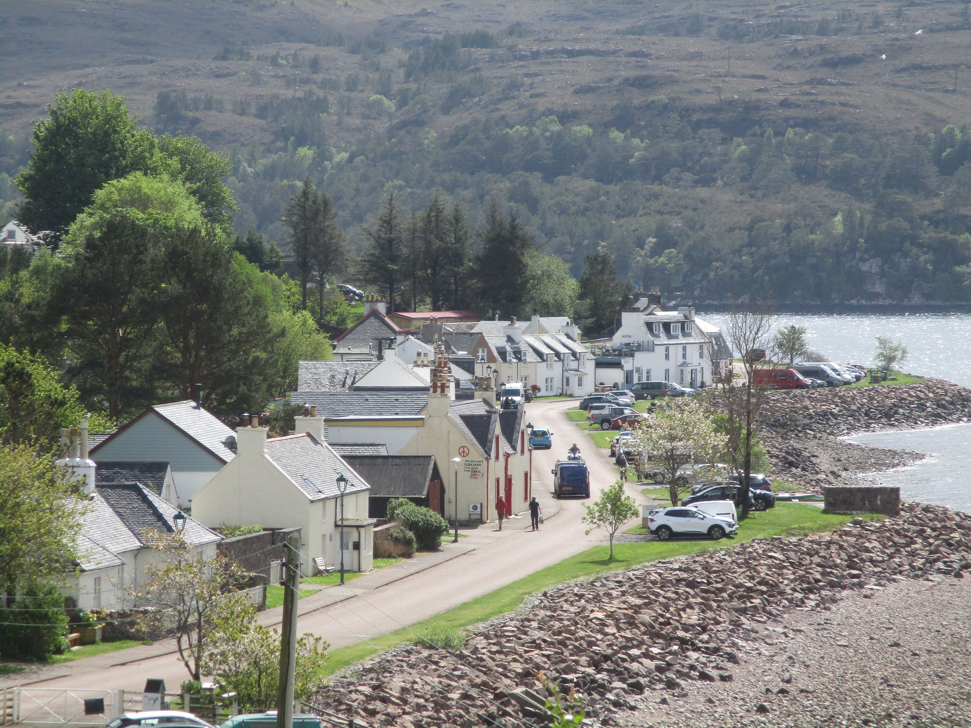
After parking our car, we explored the tiny little village of Applecross on foot, it�s literally a single street lined with whitewashed houses (dominated by the Inn), but what a setting !
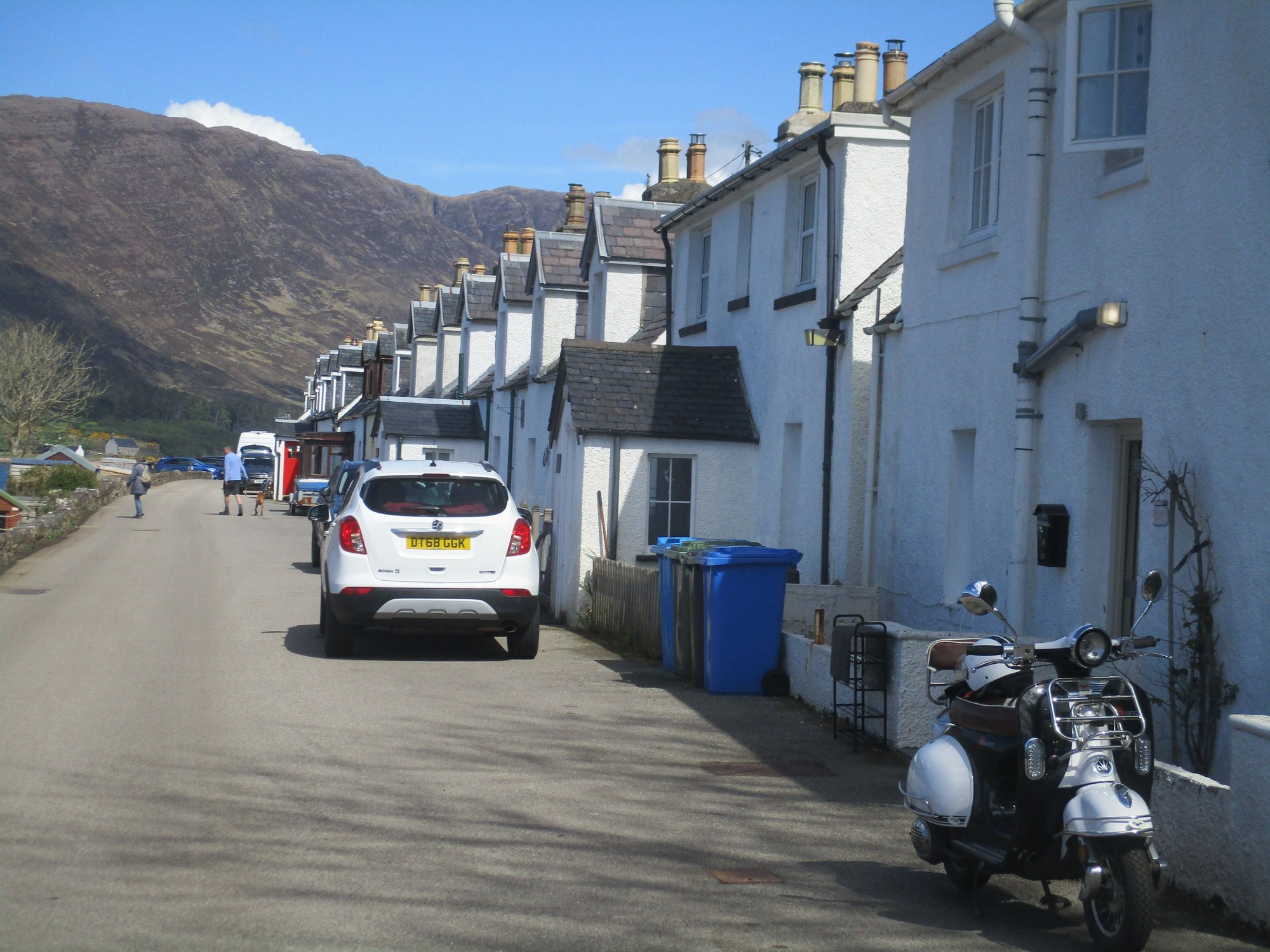
The village
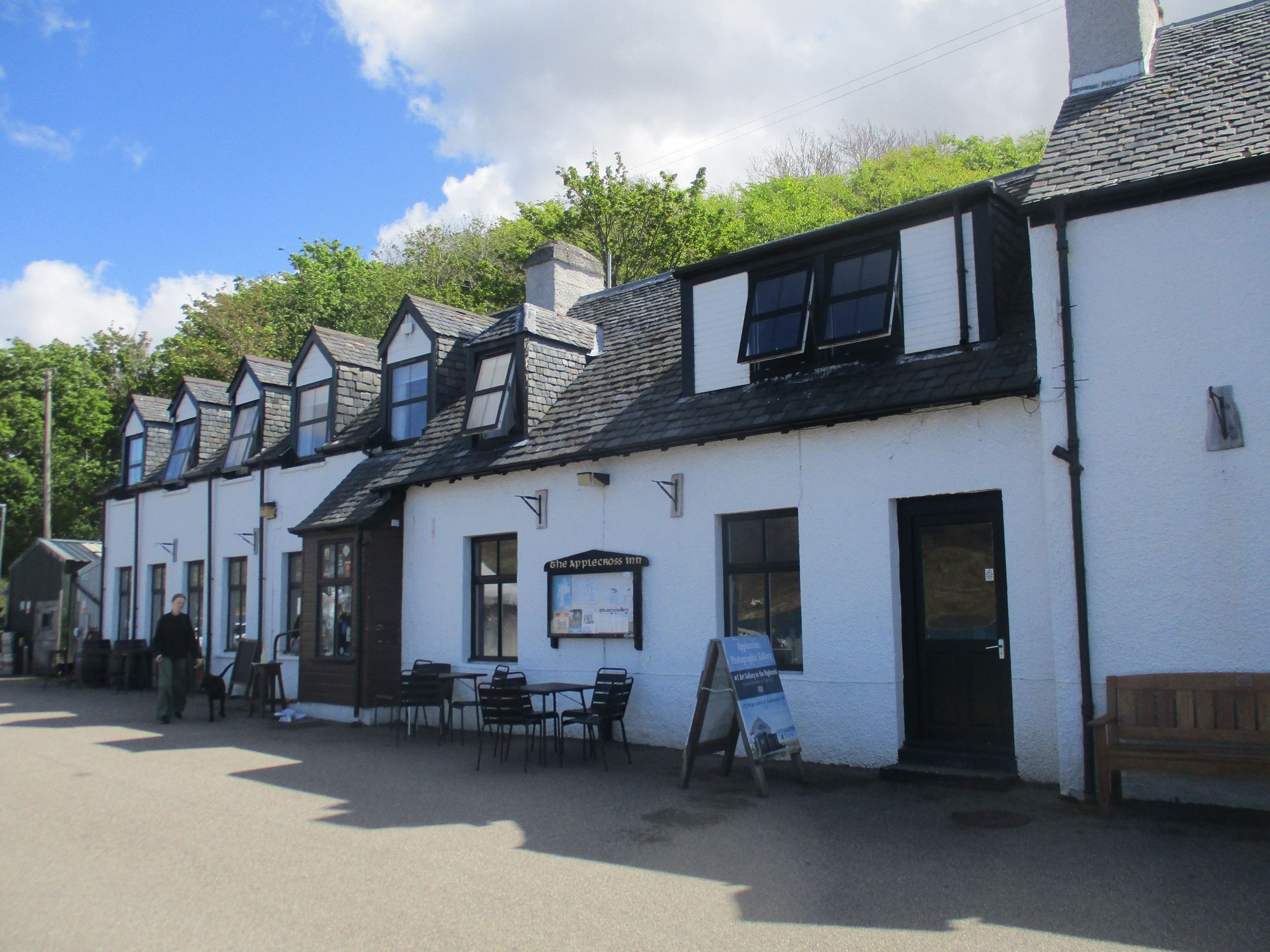
Applecross Inn
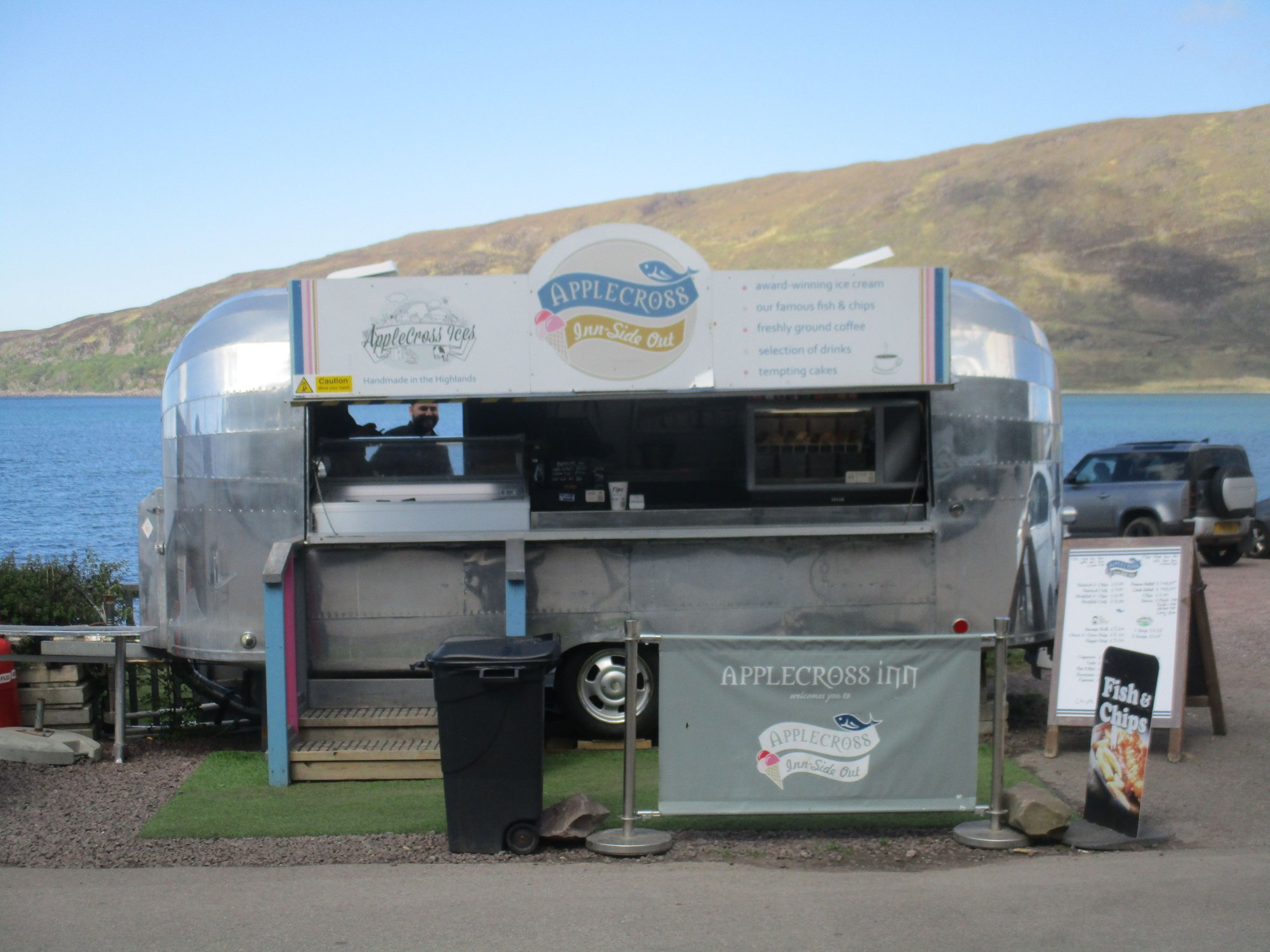
Takeaway
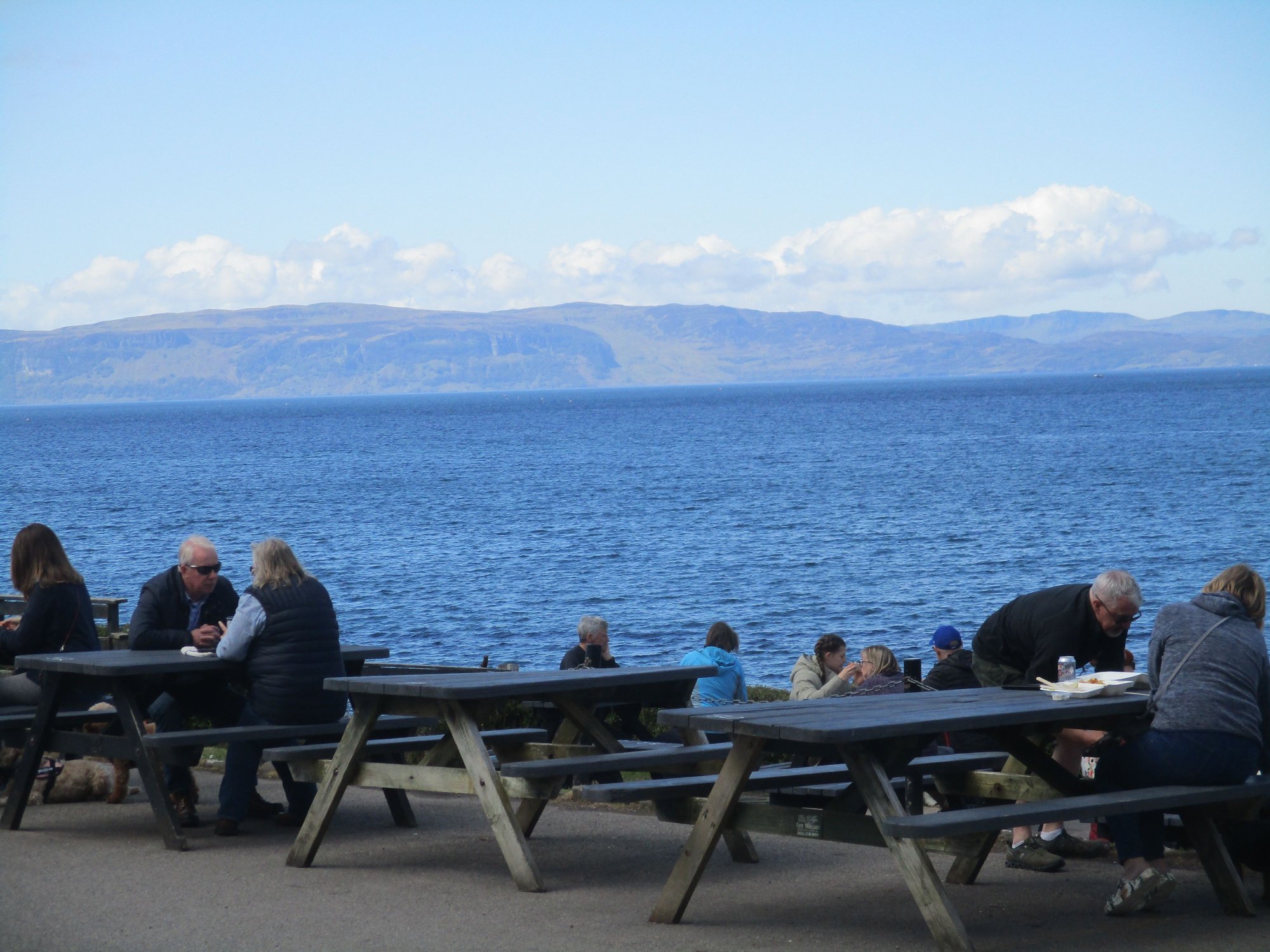
Snacking by the shore
Deer by the parking area
Close up
We then set off to tackle the Bealach na Ba. It means �Path of the Cattle� and is one of the highest mountain roads in the UK. It�s a very narrow, winding, single track record with limited passing places, several hairpin bends and sharp gradient changes. It needs to be driven very carefully especially as it has become so popular, also attracting some reckless drivers. The views are hard to describe, and we made several stops wherever there were larger laybys or designated areas to pull up and stop.
Start of the road from Applecross
.. and off we go
.. the route is popular with bikers

Views
Views
Views
As we got to its highest point and crossed the moutain pass, the road seemed almost vertical as we descended (and we actually passed a car along this, my driving skills were put to the ultimate test!)
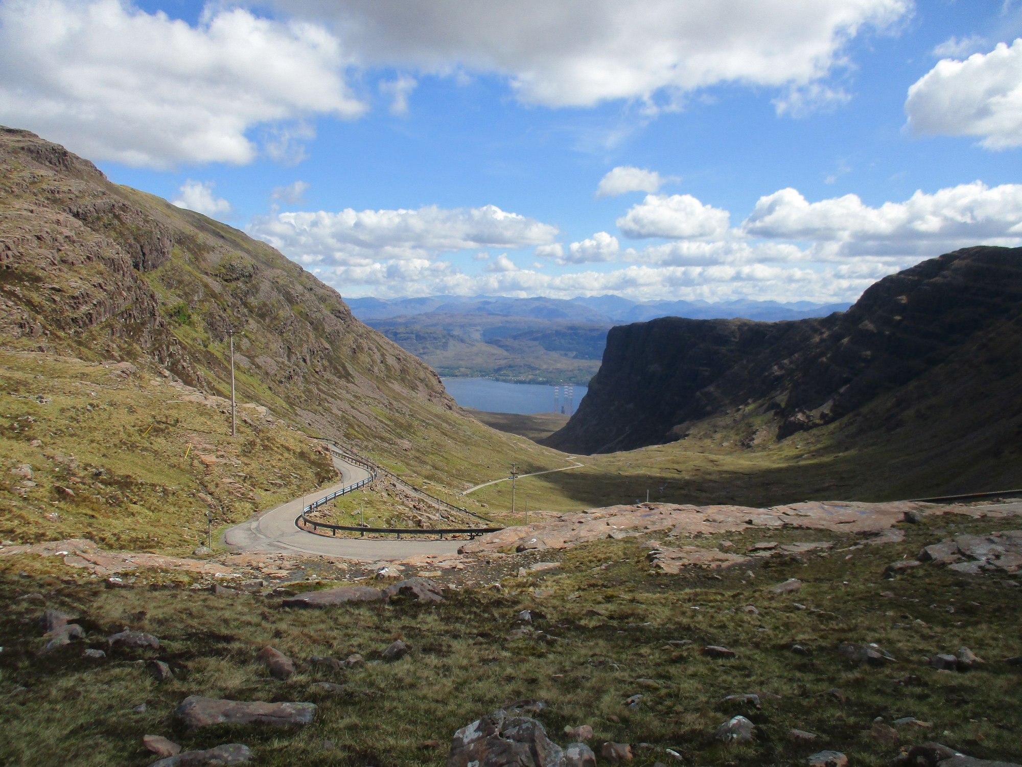
At the high point of the pass
At the bottom
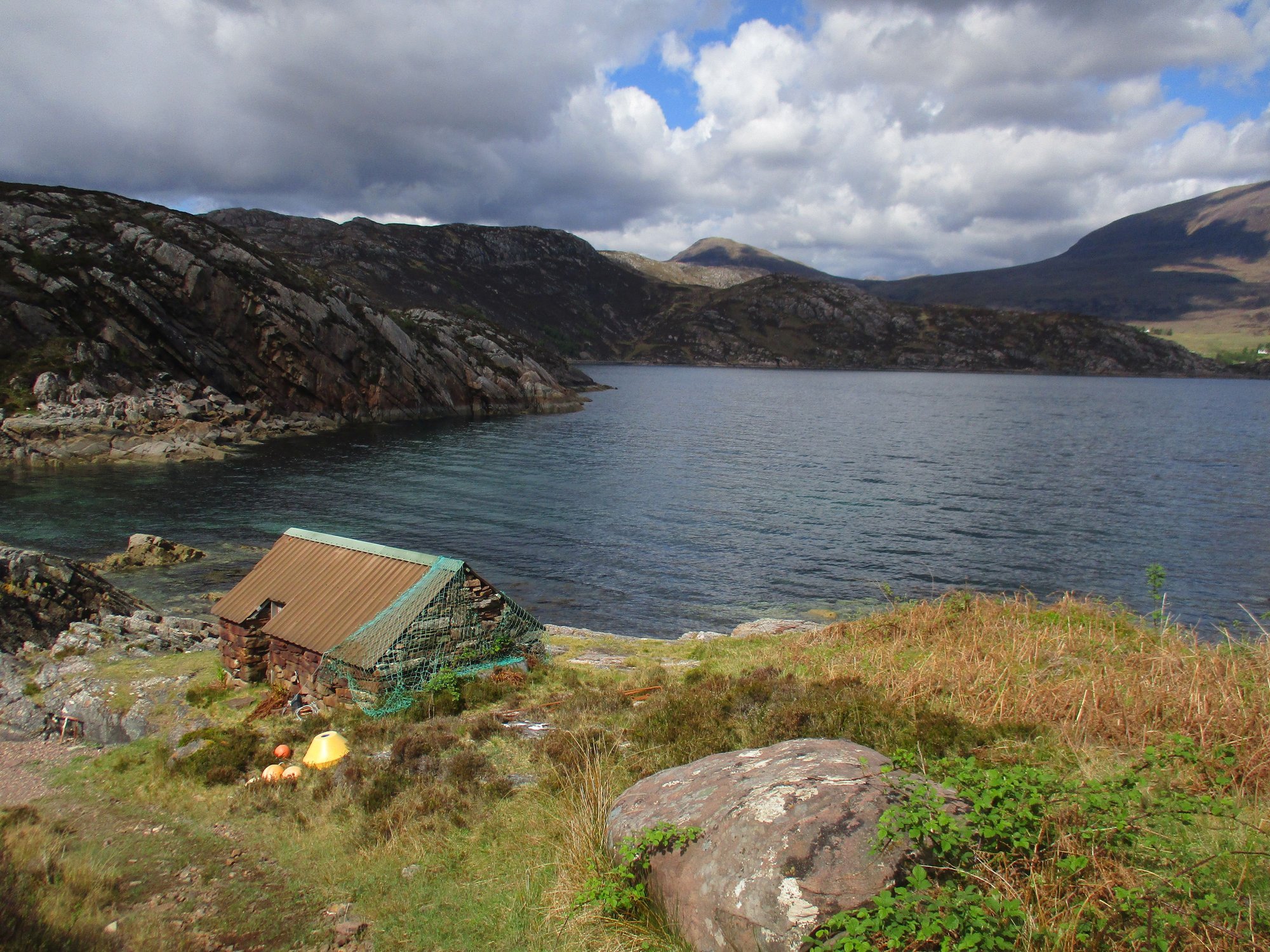
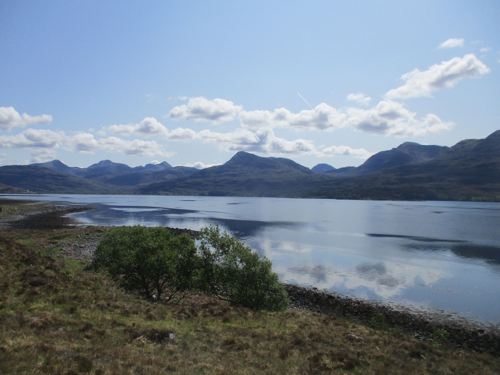
The road finally connects to Tornapress, before rejoining the A896 along Loch Kishorn and heading back towards Sheldiag.
Loch Kishorn
The Bealach Cafe at Tornapress
On reaching the village of Shieldaig, our first order of business was to complete the ~5km circular walk along the Shieldaig peninsula. The start of the path is confusing � we parked by the campsite and entered through the primary school gate ! The rest of the path had some arrow waymarkers painted in the rocks. There are some tricky sections - including a steep section with a chain to hold onto and part of the return through the birch trees. The views were just terrific.
Shieldaig village

Along our walking route

Views
Views
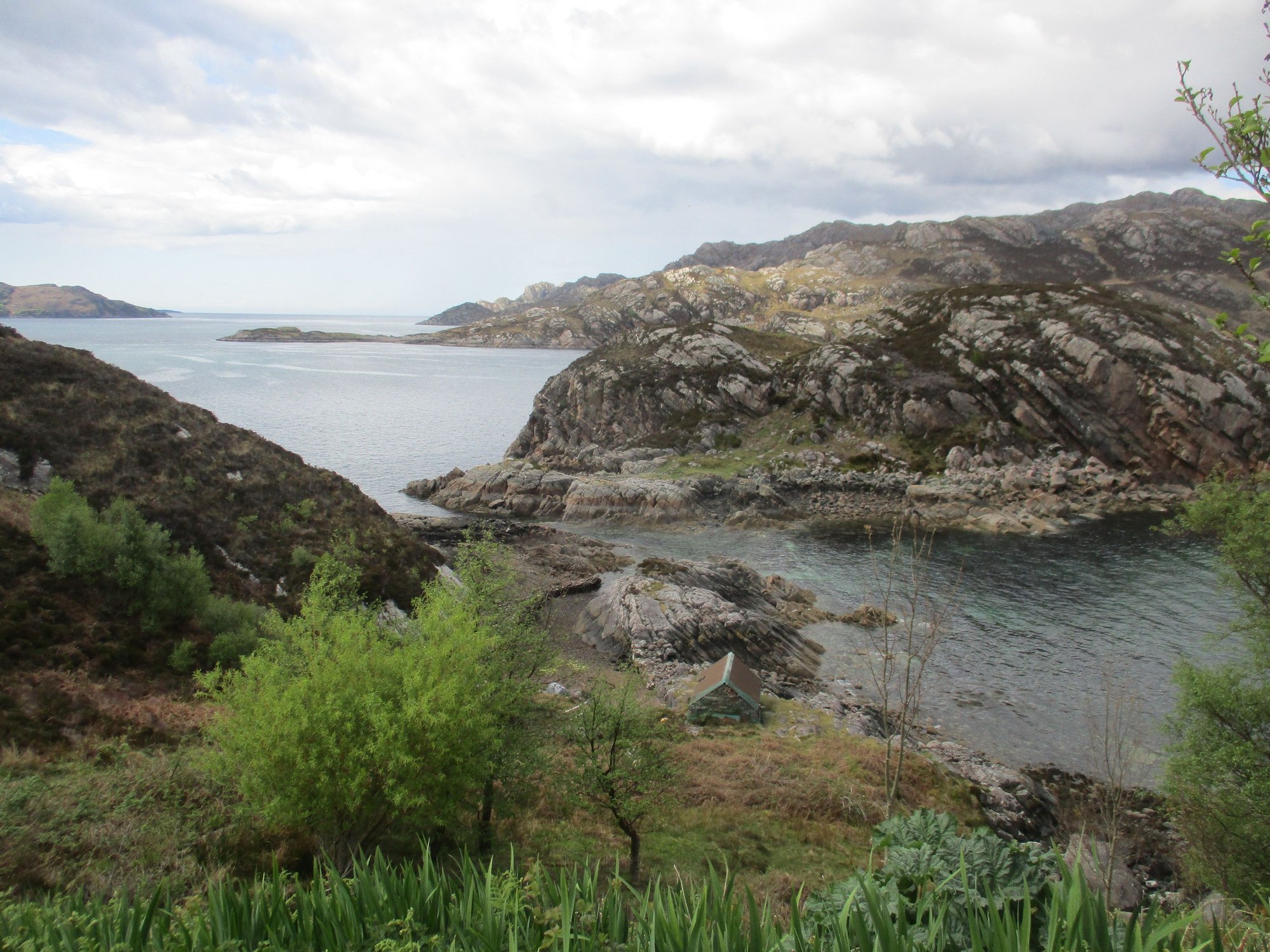
Views
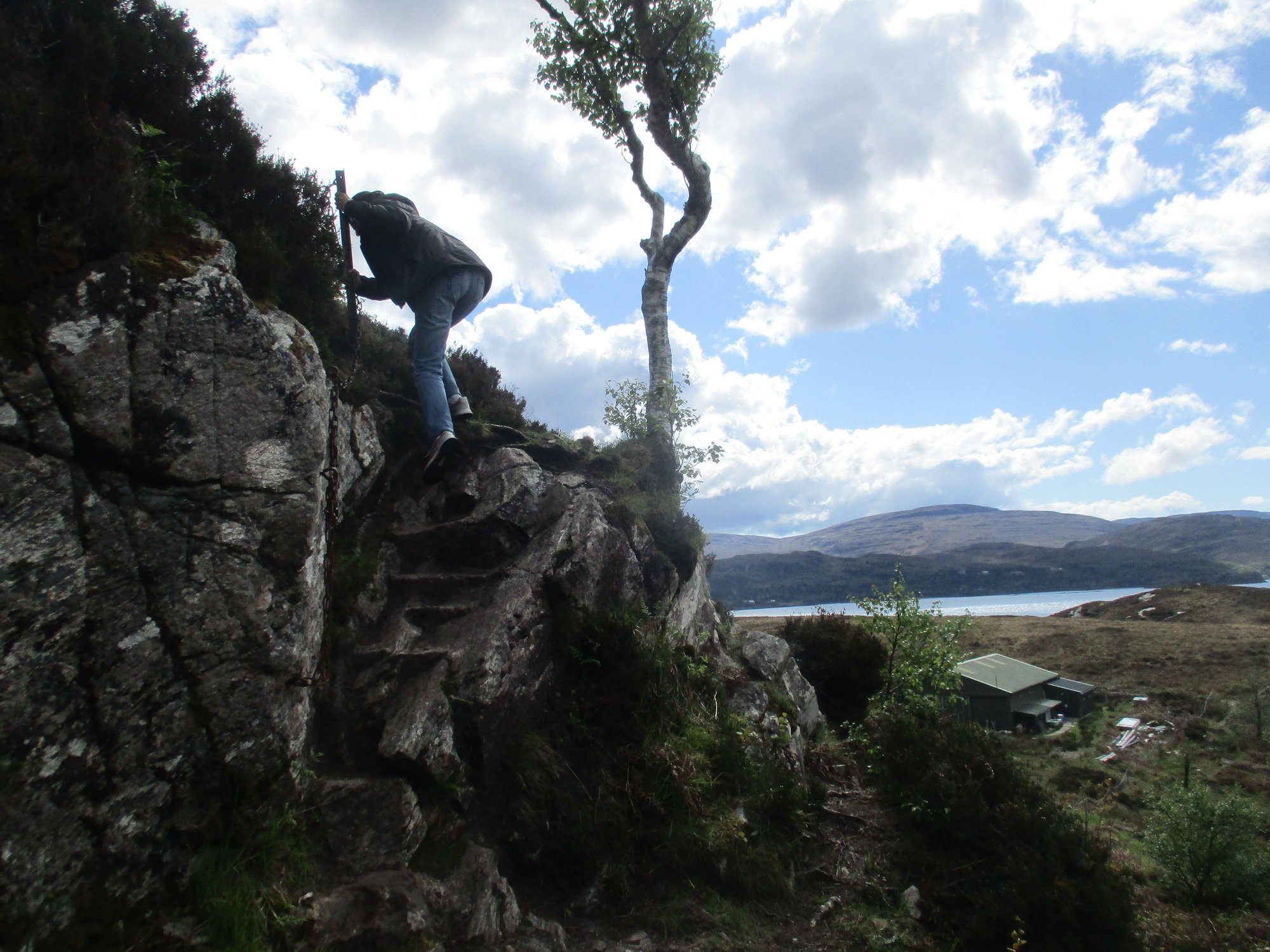
Some tough sections of the route
Views, the Torridon hills look unreal
Heading back to Shieldaig
Back at the start, signpost
We returned to visit the Shieldiag village, before heading back home to Torridon. What a memorable day !

Shieldaig Village
Loch Shieldaig
As we drove the A896, our first stop was the panoramic viewpoint over Loch Torridon roughly midway between Annat and Balgy,the photos barely do it justice.
Loch Torridon viewpoint
Loch Torridon viewpoint
After passing Shieldaig, we branched off to the coastal route. It�s a tortuous single track road, with stunning scenery all around, so enjoy the very slow drive. I�ll let the pictures do the talking.
Driving past Shieldaig
Low lying cloud
The iconic red roof house near Ardheslaig
The low lying cloud reappears
Croft land near Kenmore
Fearnbeg
Fearnmore
As the road winded south from Fearnmore, views of Rona and Skye in the far distance emerged. Wow!
We stopped at the remote Applecross Sands. We were the only ones on this remote beach, until a lady arrived with her little dog.
Applecross Sands
Applecross Sands
The road continued to wind its way around Applecross Bay.
Along the coastal road
Applecross Bay
The whole approach to Applecross was beyond words, with deer and highland cows enjoying some sun.
Approaching Applecross
Deer
Highland coos
We made two short refuelling breaks � for ourselves at the Walled Garden Cafe, and for our car the historic community-owned petrol station.
Applecross Walled Garden
Applecross Community filling station
After parking our car, we explored the tiny little village of Applecross on foot, it�s literally a single street lined with whitewashed houses (dominated by the Inn), but what a setting !
The village
Applecross Inn
Takeaway
Snacking by the shore
Deer by the parking area
Close up
We then set off to tackle the Bealach na Ba. It means �Path of the Cattle� and is one of the highest mountain roads in the UK. It�s a very narrow, winding, single track record with limited passing places, several hairpin bends and sharp gradient changes. It needs to be driven very carefully especially as it has become so popular, also attracting some reckless drivers. The views are hard to describe, and we made several stops wherever there were larger laybys or designated areas to pull up and stop.
Start of the road from Applecross
.. and off we go
.. the route is popular with bikers
Views
Views
Views
As we got to its highest point and crossed the moutain pass, the road seemed almost vertical as we descended (and we actually passed a car along this, my driving skills were put to the ultimate test!)
At the high point of the pass
At the bottom
The road finally connects to Tornapress, before rejoining the A896 along Loch Kishorn and heading back towards Sheldiag.
Loch Kishorn
The Bealach Cafe at Tornapress
On reaching the village of Shieldaig, our first order of business was to complete the ~5km circular walk along the Shieldaig peninsula. The start of the path is confusing � we parked by the campsite and entered through the primary school gate ! The rest of the path had some arrow waymarkers painted in the rocks. There are some tricky sections - including a steep section with a chain to hold onto and part of the return through the birch trees. The views were just terrific.
Shieldaig village
Along our walking route
Views
Views
Views
Some tough sections of the route
Views, the Torridon hills look unreal
Heading back to Shieldaig
Back at the start, signpost
We returned to visit the Shieldiag village, before heading back home to Torridon. What a memorable day !
Shieldaig Village
Loch Shieldaig
Last edited by IBkatherine; Jun 12th, 2023 at 07:48 AM.
Jun 11th, 2023 | 10:18 PM
#51
Original Poster
Joined: Oct 2005
Posts: 931
Likes: 28
Day 14 : Torridon
Having mapped out some walks around Loch Torridon with our hosts, we had a pretty good plan for our 3rd day in Torridon.
We first drove to the Beinn Alligin park, and hiked a short way up from the bridge to enjoy some views.
Climbing a short way up the slope of Beinn Alligin, from the carpark
Views from slopes of Beinn Alligin
Descent and return
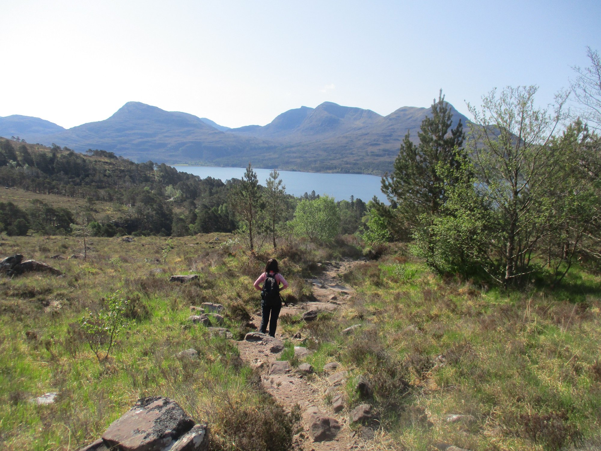
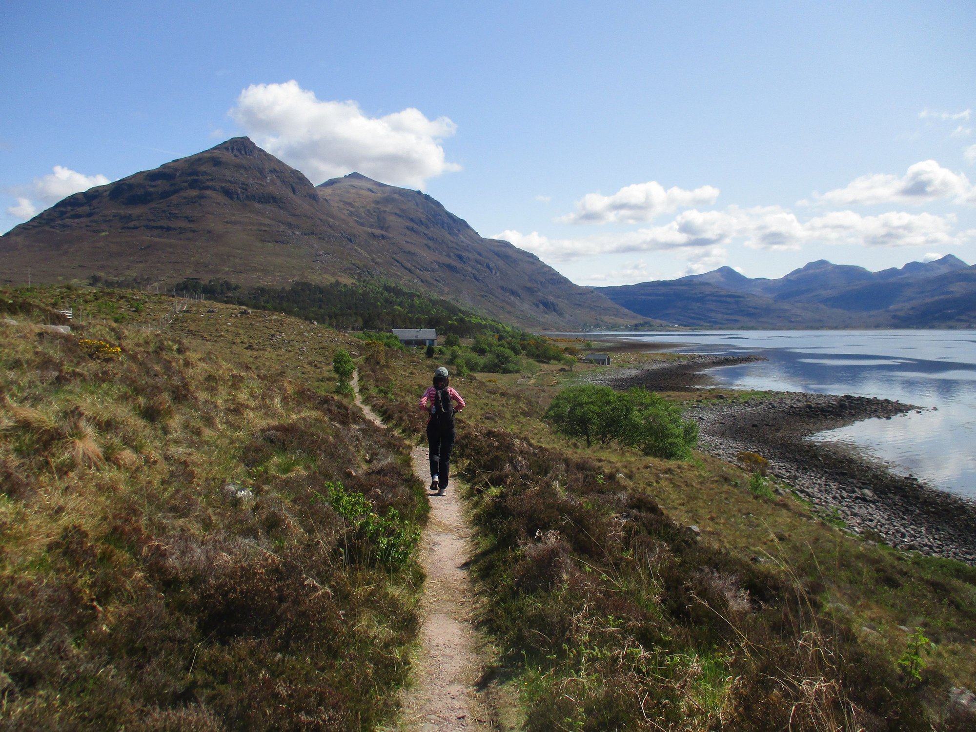
Our first walk focused on the northern shore of the Loch. We drove up to a layby with some parking space outside the private road leading to the Torridon Estate, and then proceeded on foot.

Start of the trail
Along the way

Along the way, lots of pretty coves
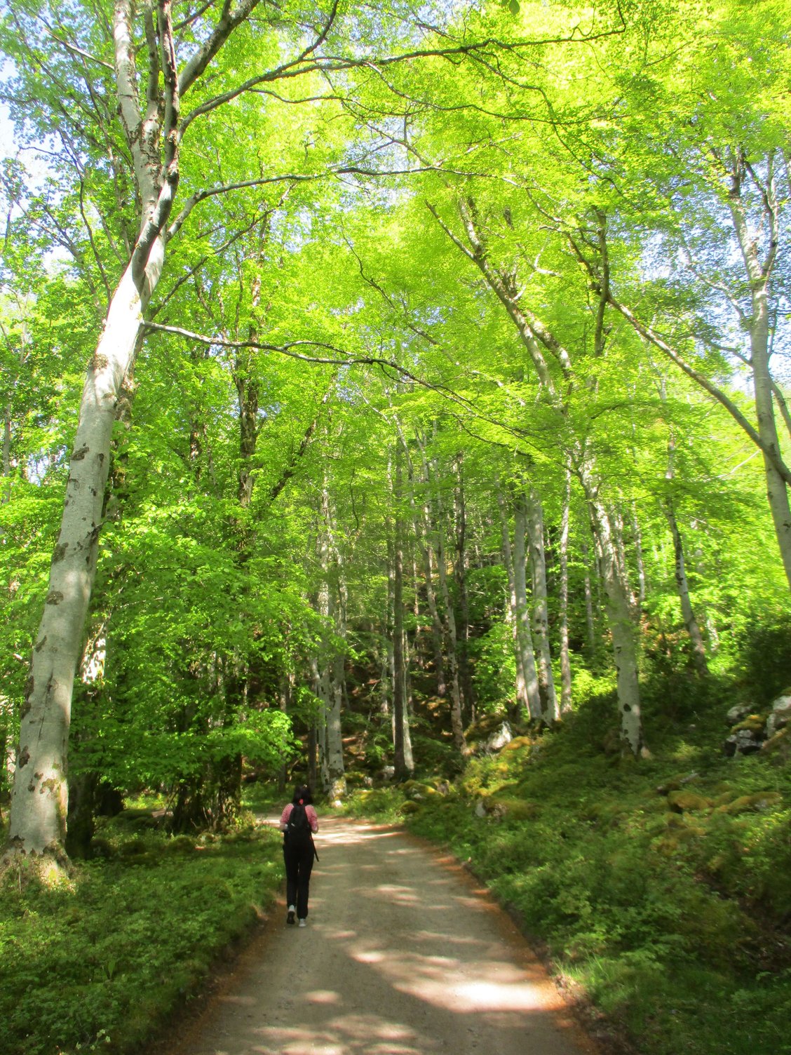
Through the woods
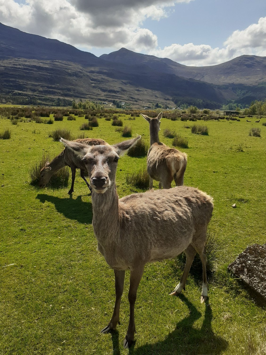
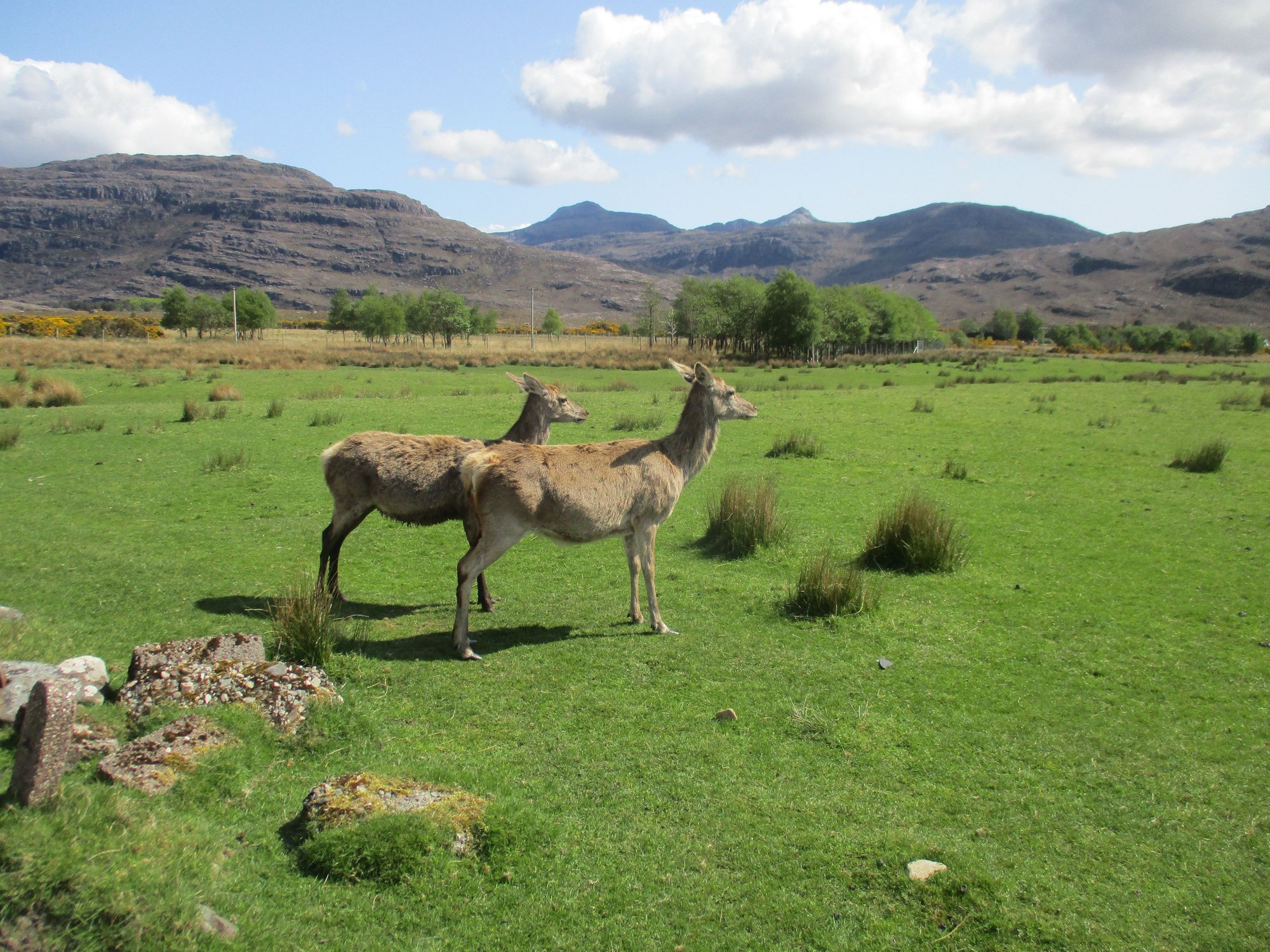
After a forested path and crossing a little stream, we sighted some deer and birds.
Past the stream
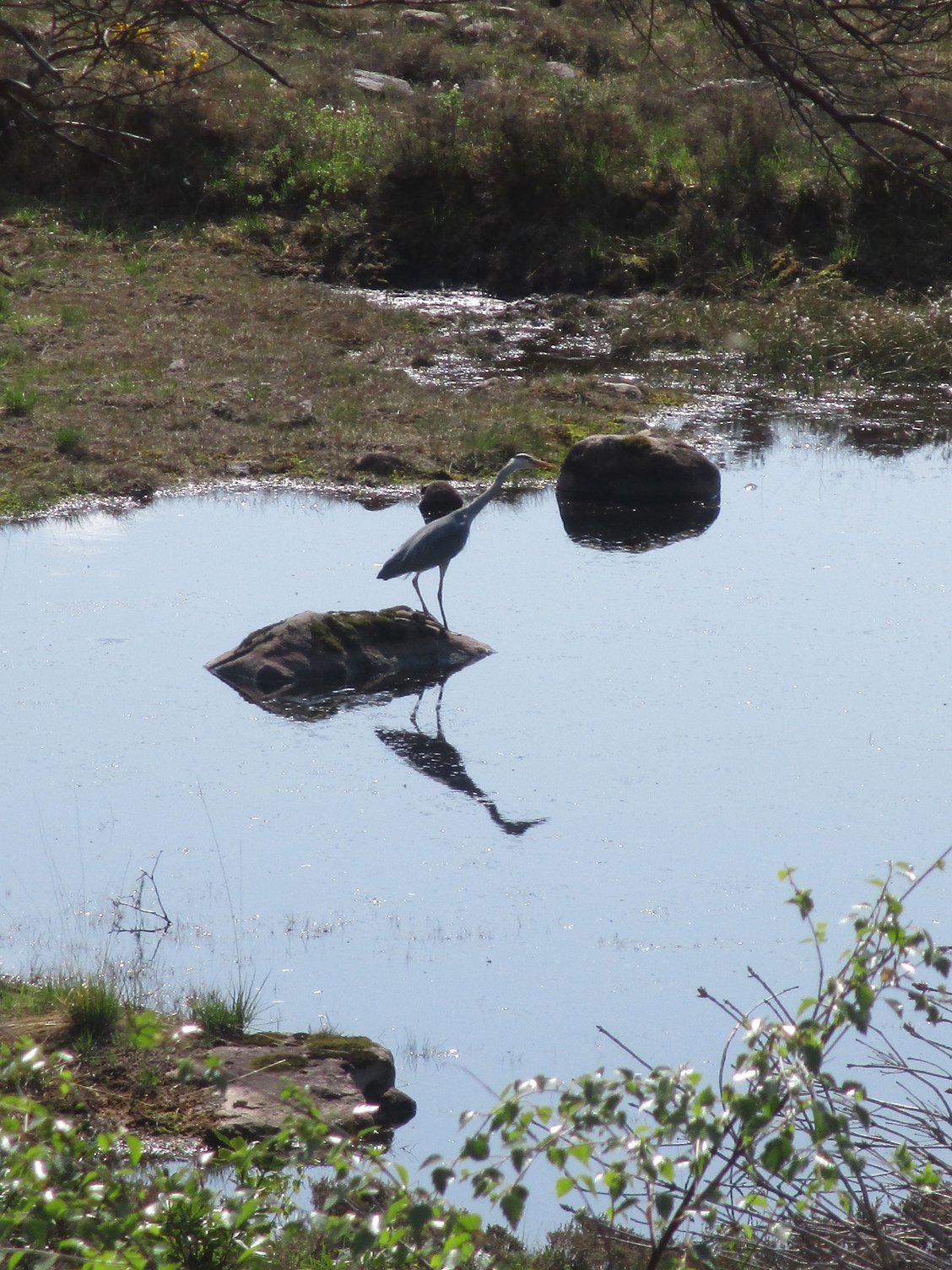
Stork
Deer
The path eventually led us to a lovely spot marked Rechullin on the map, at the edge of Inveralligin.
On the way
At Rechulin
Mini golf course !
Views
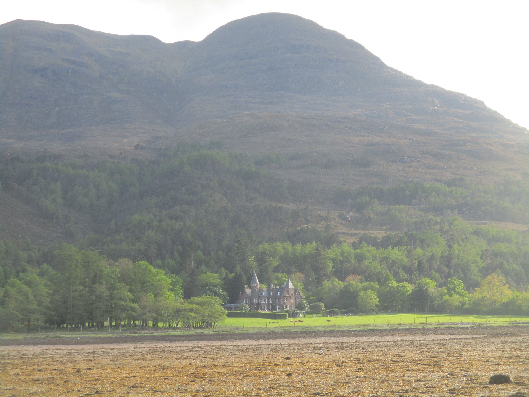
At this point, we tuned back and enjoyed the stunning vistas again, passing by the Torridon Estate guesthouse and grounds.
Heading back
Along the way
The Torridon Estate guesthouse
We stopped by Fasag for a bite at the Torridon Store and Caf� and a visit to the open air church nearby.
At Fasag
By the open air church
By the open air church
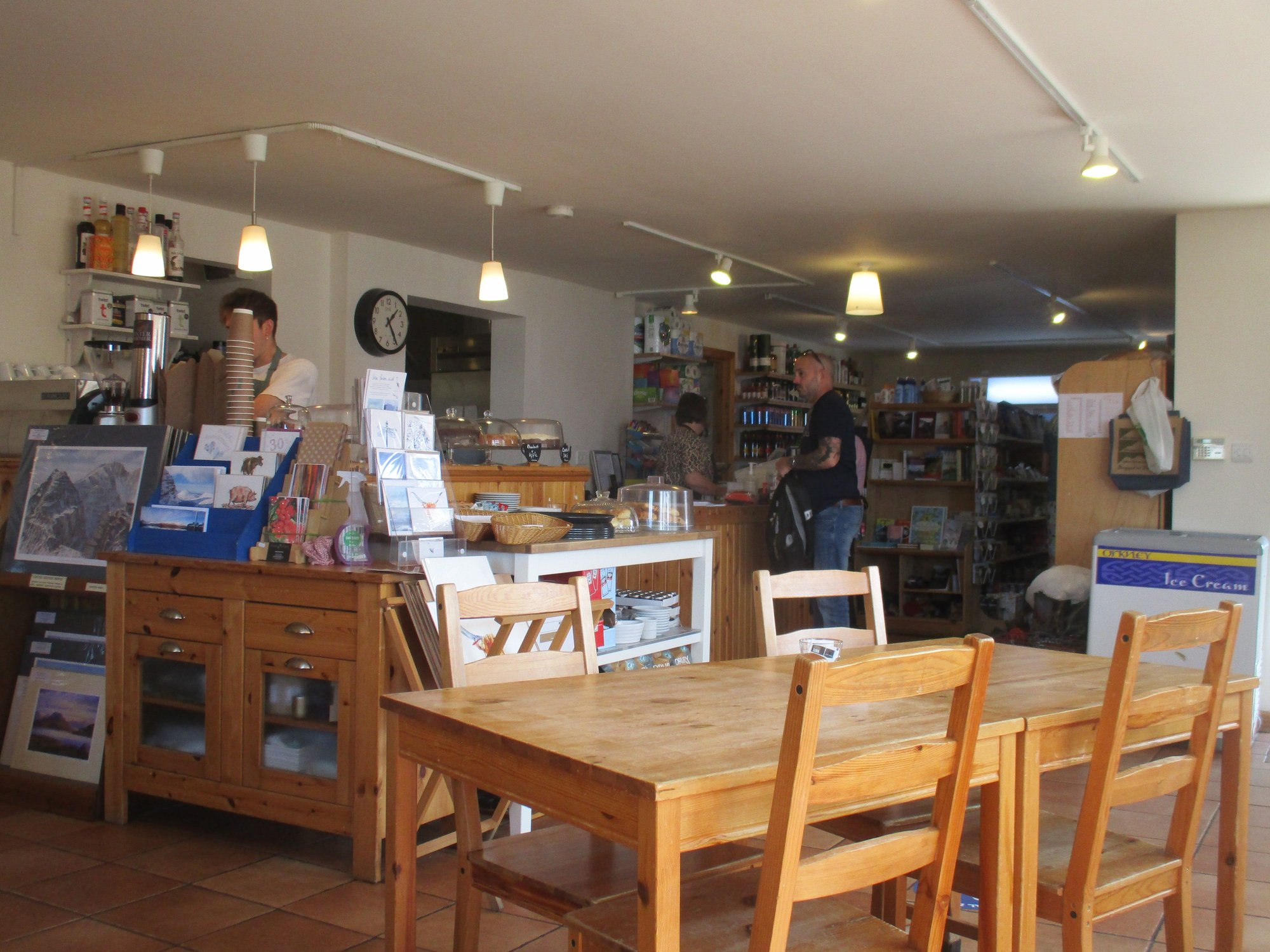
At the cafe
We then stopped briefly at the deer museum in the Torridon village itself, with lots of deer behind a wired fence.
We returned to our B&B, dropping off the car. We used the afternoon to wrap up the final (episodes of Line of Duty Season 6 (which we found on BBC's iPlayer on the TV at our B&B; Netlfix unceremoniously yanked this off their India network). Later that evening, we walked along the southern shore, heading in the direction of the famous 5* resort and hotel - The Torridon before turning back to our B&B.
By the river Torridon
View of Torridon Village, Liathach towers over
Along the loch south shore
The Torridon hotel, in the distance

Along the pebbly beach, before turning back
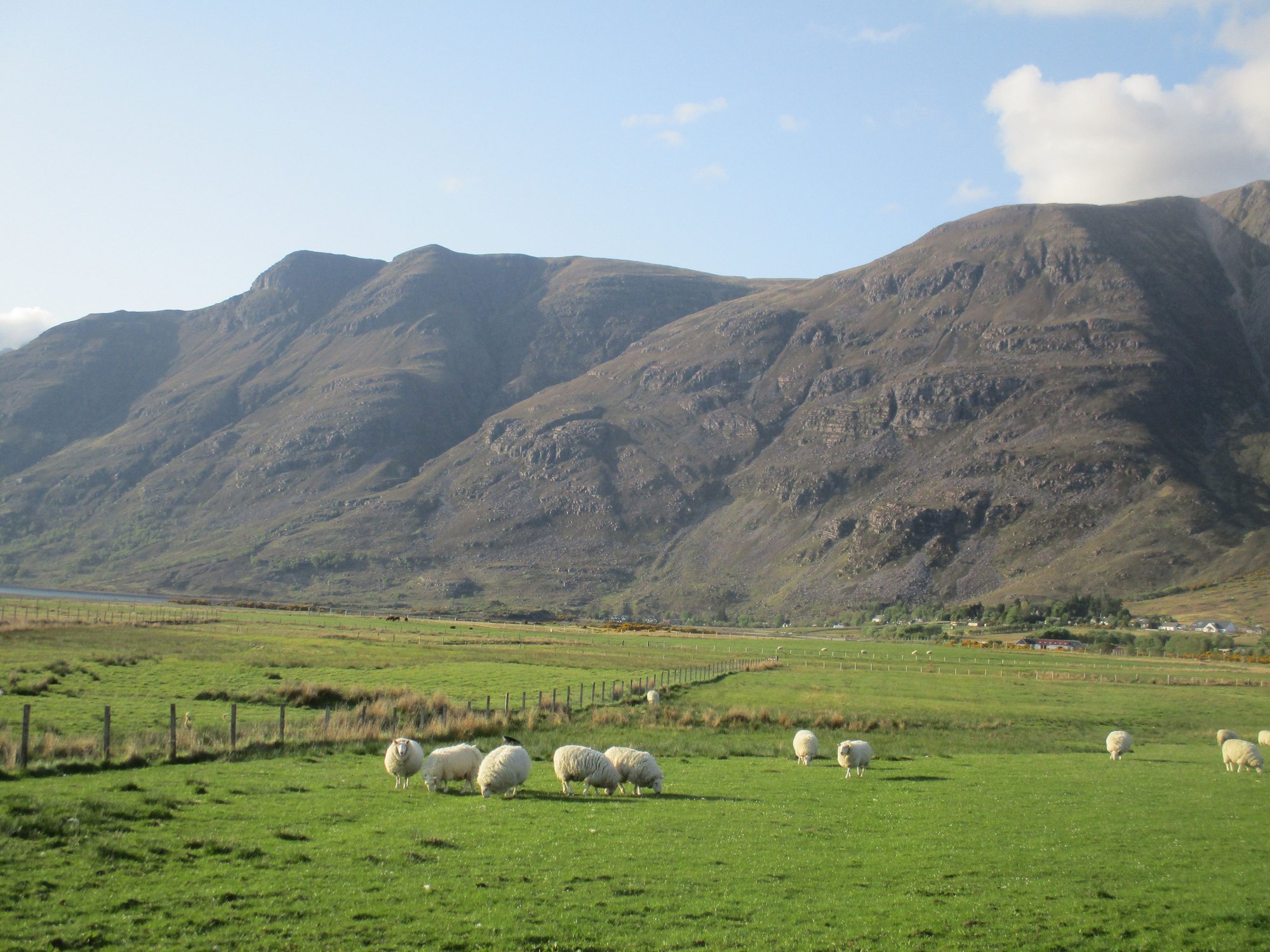
Sheep grazing
Goats grazing
Back to our B&B
We first drove to the Beinn Alligin park, and hiked a short way up from the bridge to enjoy some views.
Climbing a short way up the slope of Beinn Alligin, from the carpark
Views from slopes of Beinn Alligin
Descent and return
Our first walk focused on the northern shore of the Loch. We drove up to a layby with some parking space outside the private road leading to the Torridon Estate, and then proceeded on foot.
Start of the trail
Along the way
Along the way, lots of pretty coves
Through the woods
After a forested path and crossing a little stream, we sighted some deer and birds.
Past the stream
Stork
Deer
The path eventually led us to a lovely spot marked Rechullin on the map, at the edge of Inveralligin.
On the way
At Rechulin
Mini golf course !
Views
At this point, we tuned back and enjoyed the stunning vistas again, passing by the Torridon Estate guesthouse and grounds.
Heading back
Along the way
The Torridon Estate guesthouse
We stopped by Fasag for a bite at the Torridon Store and Caf� and a visit to the open air church nearby.
At Fasag
By the open air church
By the open air church
At the cafe
We then stopped briefly at the deer museum in the Torridon village itself, with lots of deer behind a wired fence.
We returned to our B&B, dropping off the car. We used the afternoon to wrap up the final (episodes of Line of Duty Season 6 (which we found on BBC's iPlayer on the TV at our B&B; Netlfix unceremoniously yanked this off their India network). Later that evening, we walked along the southern shore, heading in the direction of the famous 5* resort and hotel - The Torridon before turning back to our B&B.
By the river Torridon
View of Torridon Village, Liathach towers over
Along the loch south shore
The Torridon hotel, in the distance
Along the pebbly beach, before turning back
Sheep grazing
Goats grazing
Back to our B&B
Last edited by ANUJ; Jun 11th, 2023 at 11:15 PM.
Jun 11th, 2023 | 11:01 PM
#52
Original Poster
Joined: Oct 2005
Posts: 931
Likes: 28
Day 15 : Torridon
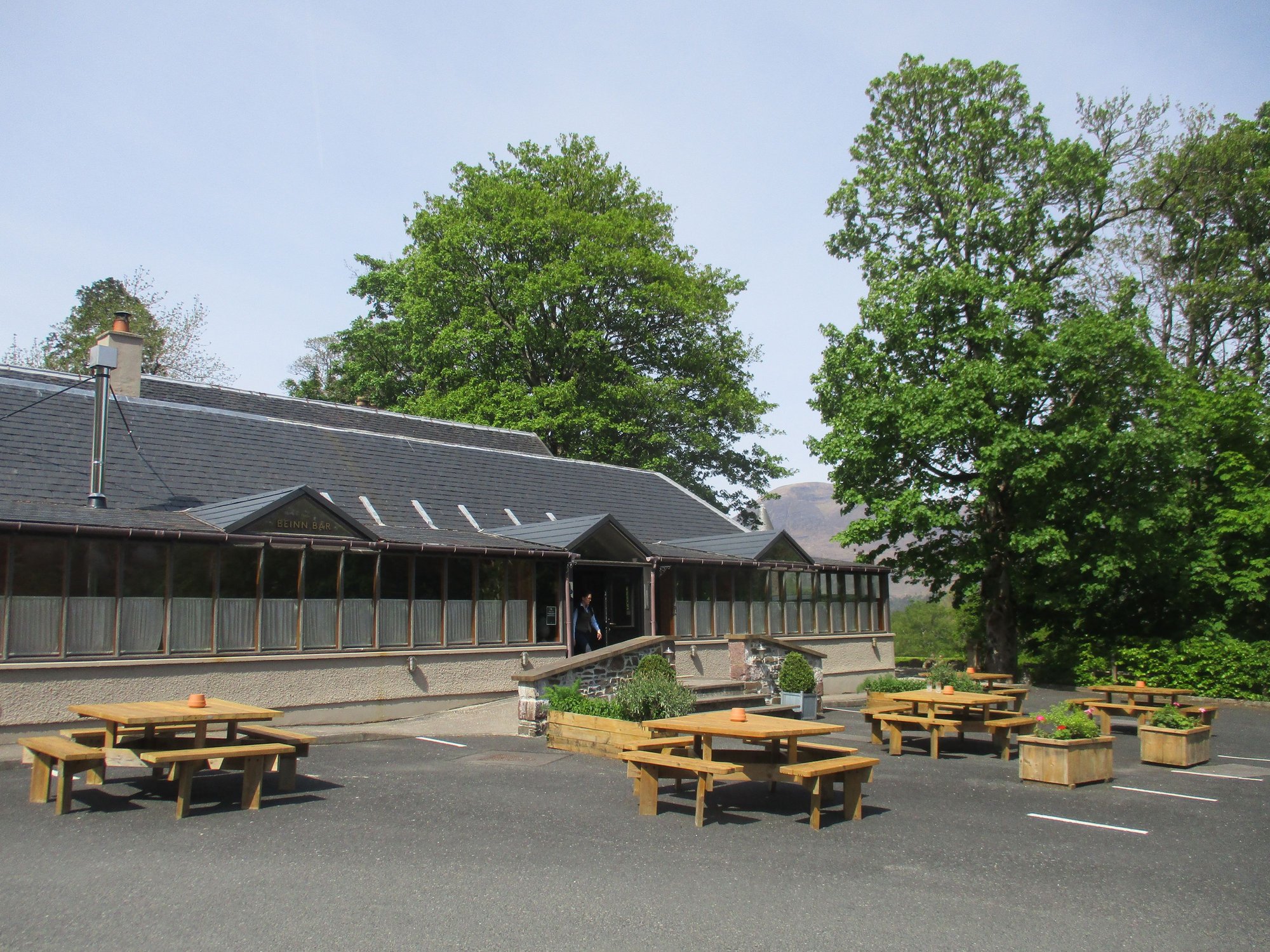
We were lucky to have a fourth straight day of clear weather in Torridon. We drove to The Torridon Outdoors/Activities Centre located by the Bo&Muc caf� (part of The Torridon hotel estate), which is also a starting point for two trails.
The path begins behind the Beinn Bar and heads through a wooded path to a fork where you can choose the longer Balgy trail (about 14km) or the much shorter Torridon trail (about 2 km).
Starting at the Bo&Muc cafe grounds
We picked the Balgy trail first. We made a detour to a small peninsula - Aird Mhor. We didn�t walk all the way to Balgy but it was good 5-6kms out before we turned to retrace. It was a beautiful walk, and we were the only ones there.
Along the path
Views
Views
Little cove
The peninsula

The peninsula
Return route
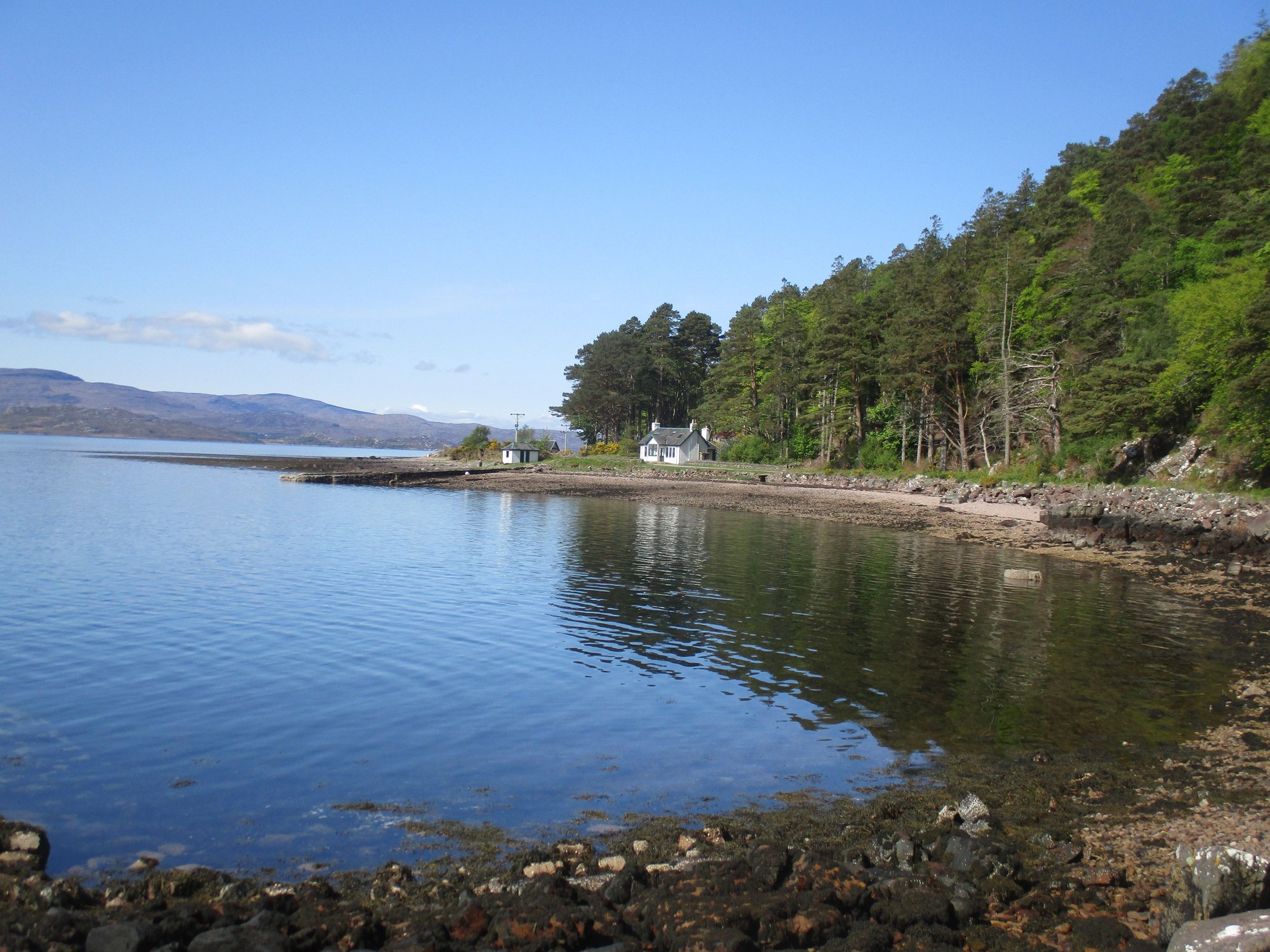
As we returned to the fork in the road, we now headed in the direction of the �Torridon trail�. This took us past The Boathouse (a self-catering accommodation available to let by The Torridon) and a little pine clad islet.
The Boathouse
The pine clad islet
The route then goes through the walled garden of the Torridon (where all the vegetables, herbs etc. are grown and sourced for the hotel) before leading through the stables back to the Bo&Muc caf�.
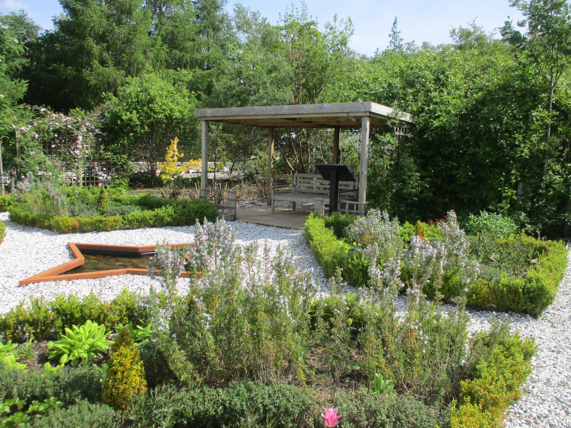
The Torridon Garden
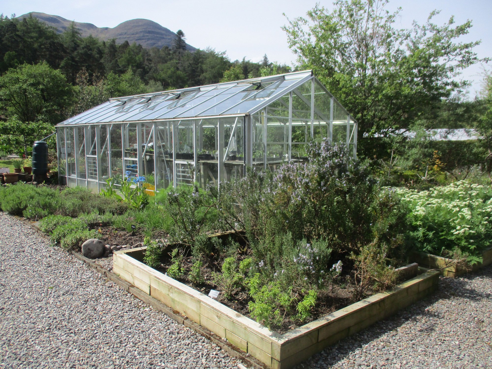
The Torridon Garden
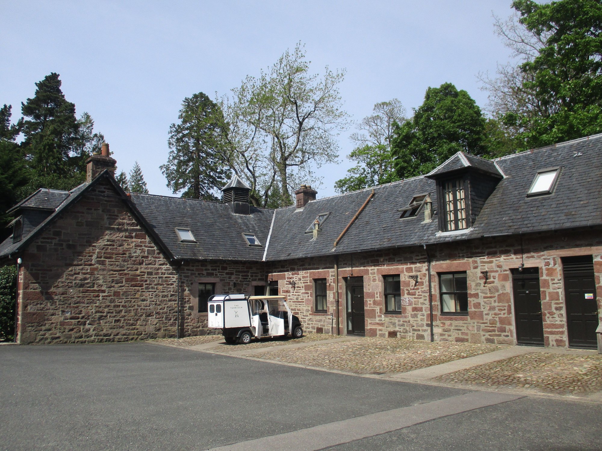
The Torridon Stables (now operate as B&B acco)
As we left, we passed the stately Torridon Hotel itself, with highland cows grazing near the entrance gates.
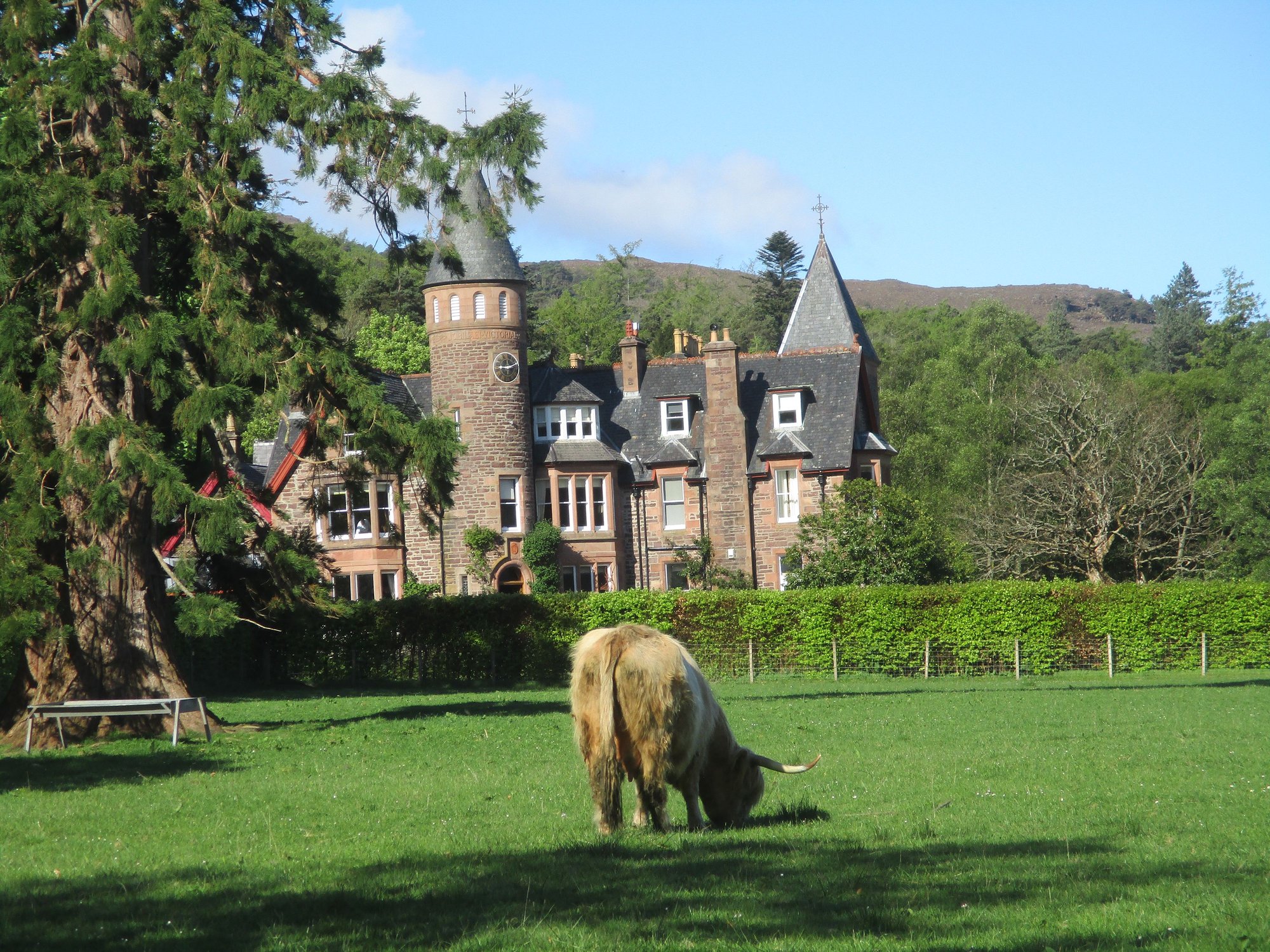
The Torridon
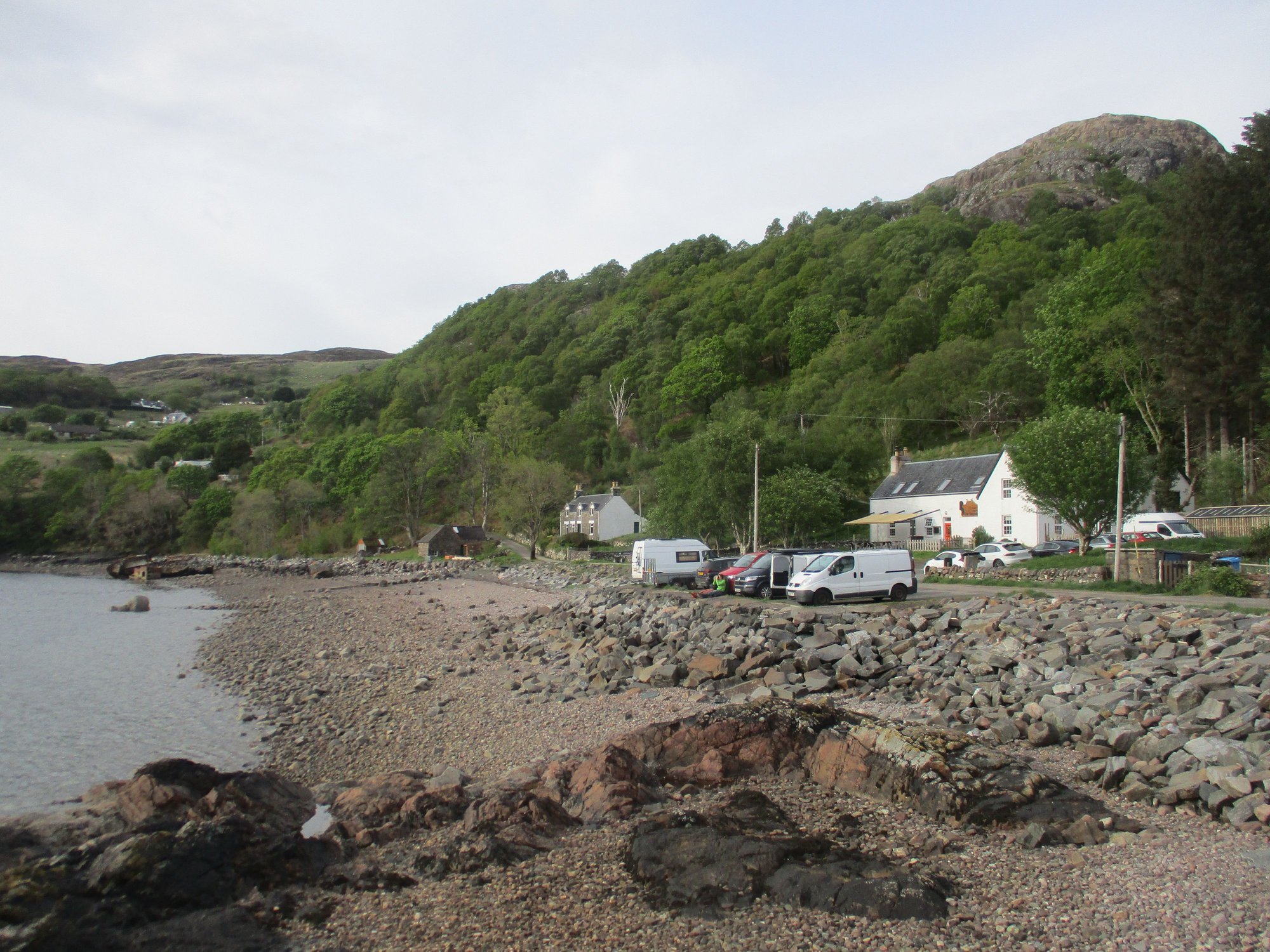
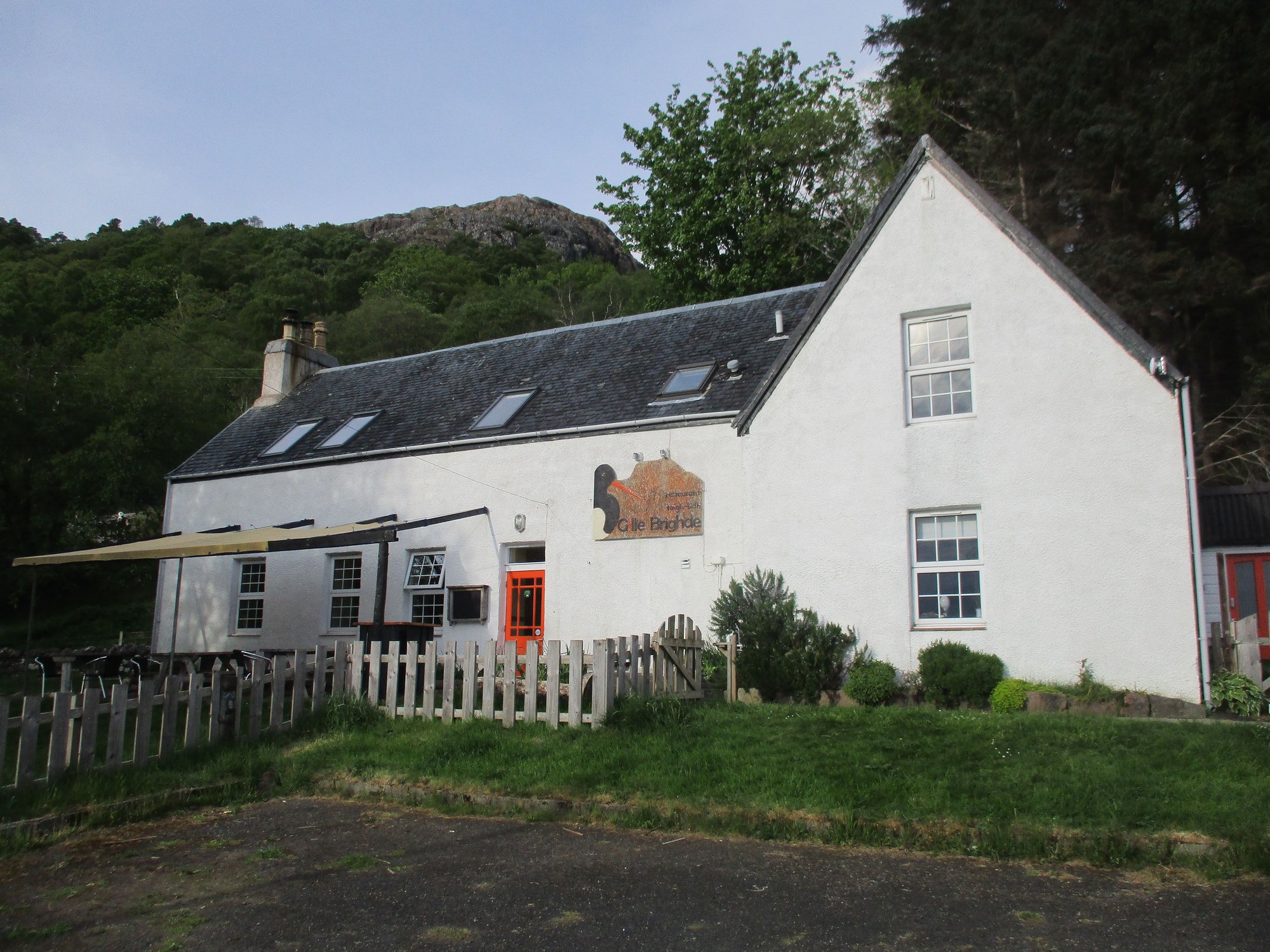
In the evening, we drove the 9 mile narrow, winding single track road to Lower Diabaig for dinnerl at the highly recommended and very popular Gille Brighde restaurant. It's one roller coaster of a drive (thankfully hardly any cars passed) with a few viewpoints and spaces to pull aside and stop. The scenery is glorious, and Lower Diabaig is nestled in the remotest corner along Loch Torridon.
The drive begins
Views
Over Inveralligin
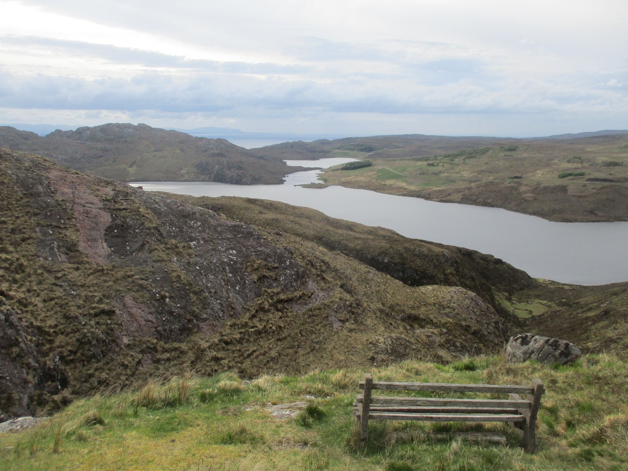
Bench with a view
Passing Upper Diabaig
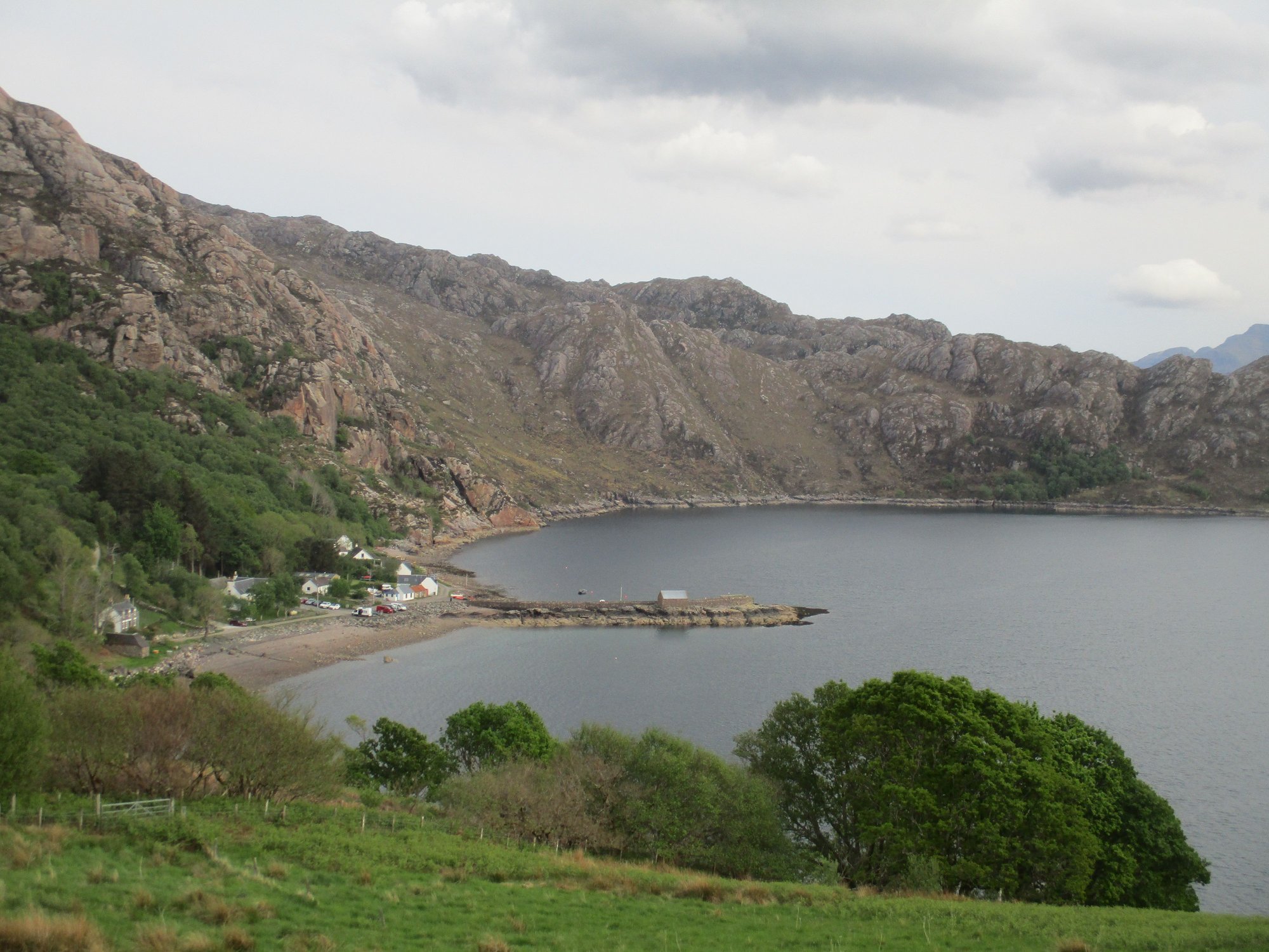
Lower Diabaig emerges in view
The wonderful (vegetarian) meal and hospitality at Gille Brighde was a fitting end to our 4 days in Torridon. Reflecting back on our trip, Torridon ranks among the most beautiful places we have seen anywhere on the planet, not just in Scotland.
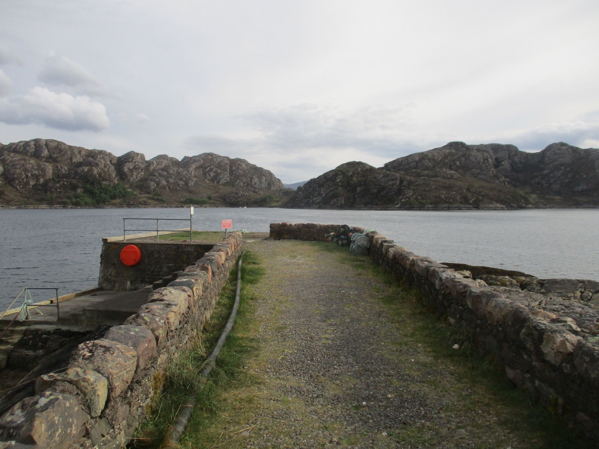
At the Lower Diabaig pier
Along the shore
Outside the restaurant
Inside the restaurant
The path begins behind the Beinn Bar and heads through a wooded path to a fork where you can choose the longer Balgy trail (about 14km) or the much shorter Torridon trail (about 2 km).
Starting at the Bo&Muc cafe grounds
We picked the Balgy trail first. We made a detour to a small peninsula - Aird Mhor. We didn�t walk all the way to Balgy but it was good 5-6kms out before we turned to retrace. It was a beautiful walk, and we were the only ones there.
Along the path
Views
Views
Little cove
The peninsula
The peninsula
Return route
As we returned to the fork in the road, we now headed in the direction of the �Torridon trail�. This took us past The Boathouse (a self-catering accommodation available to let by The Torridon) and a little pine clad islet.
The Boathouse
The pine clad islet
The route then goes through the walled garden of the Torridon (where all the vegetables, herbs etc. are grown and sourced for the hotel) before leading through the stables back to the Bo&Muc caf�.
The Torridon Garden
The Torridon Garden
The Torridon Stables (now operate as B&B acco)
As we left, we passed the stately Torridon Hotel itself, with highland cows grazing near the entrance gates.
The Torridon
In the evening, we drove the 9 mile narrow, winding single track road to Lower Diabaig for dinnerl at the highly recommended and very popular Gille Brighde restaurant. It's one roller coaster of a drive (thankfully hardly any cars passed) with a few viewpoints and spaces to pull aside and stop. The scenery is glorious, and Lower Diabaig is nestled in the remotest corner along Loch Torridon.
The drive begins
Views
Over Inveralligin
Bench with a view
Passing Upper Diabaig
Lower Diabaig emerges in view
The wonderful (vegetarian) meal and hospitality at Gille Brighde was a fitting end to our 4 days in Torridon. Reflecting back on our trip, Torridon ranks among the most beautiful places we have seen anywhere on the planet, not just in Scotland.
At the Lower Diabaig pier
Along the shore
Outside the restaurant
Inside the restaurant
Jun 13th, 2023 | 12:06 AM
#54
Original Poster
Joined: Oct 2005
Posts: 931
Likes: 28
Day 16 : Tarbert (Lewis & Harris)
With the NC500 and Orkney behind us, this segment of the trip report now focuses on our week in the Outer Hebrides. Our itinerary was :
Lewis & Harris : 4 nights, based in Tarbert
Uist : 1 night, based in Eriskay
Barra : 2 nights based in Castlebay
The islands are connected to each other and the Scottish mainland itself by ferries operated by Calmac.
We were booked on an afternoon ferry from Uig (at the northern tip of Isle of Skye) to Tarbert (Harris). The alternate sailing is Ullapool-Stornoway. However, I just wanted to experience Skye again (even if only a quick drive through the island) to relive our memories from 2017 (we spent a long weekend, based out of Portree).
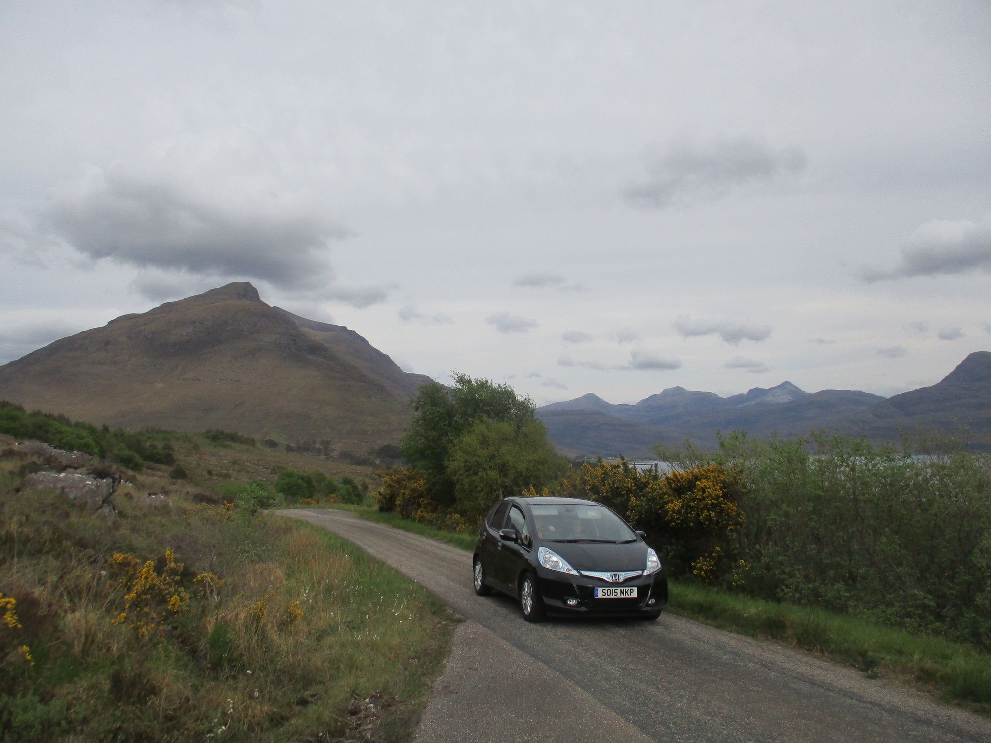
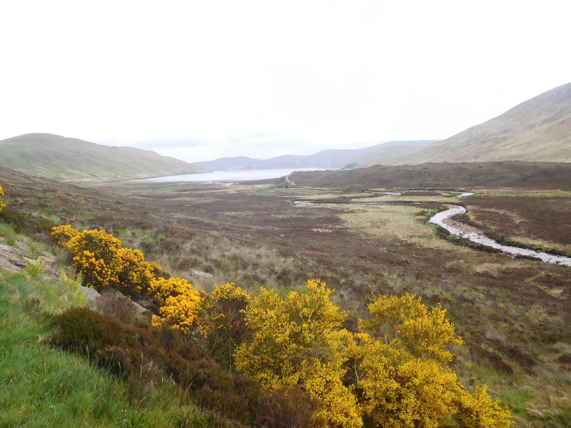
Its hard to resist the urge to keep pulling over every few miles in Skye. With that in mind, we made a rather early start after bidding a sad farewell to Torridon. We drove quickly down the A896 to Loch Carron and switching over to the slower A890 which led us to the Kyle of Lochalsh (and the bridge that connects Skye to the mainland).
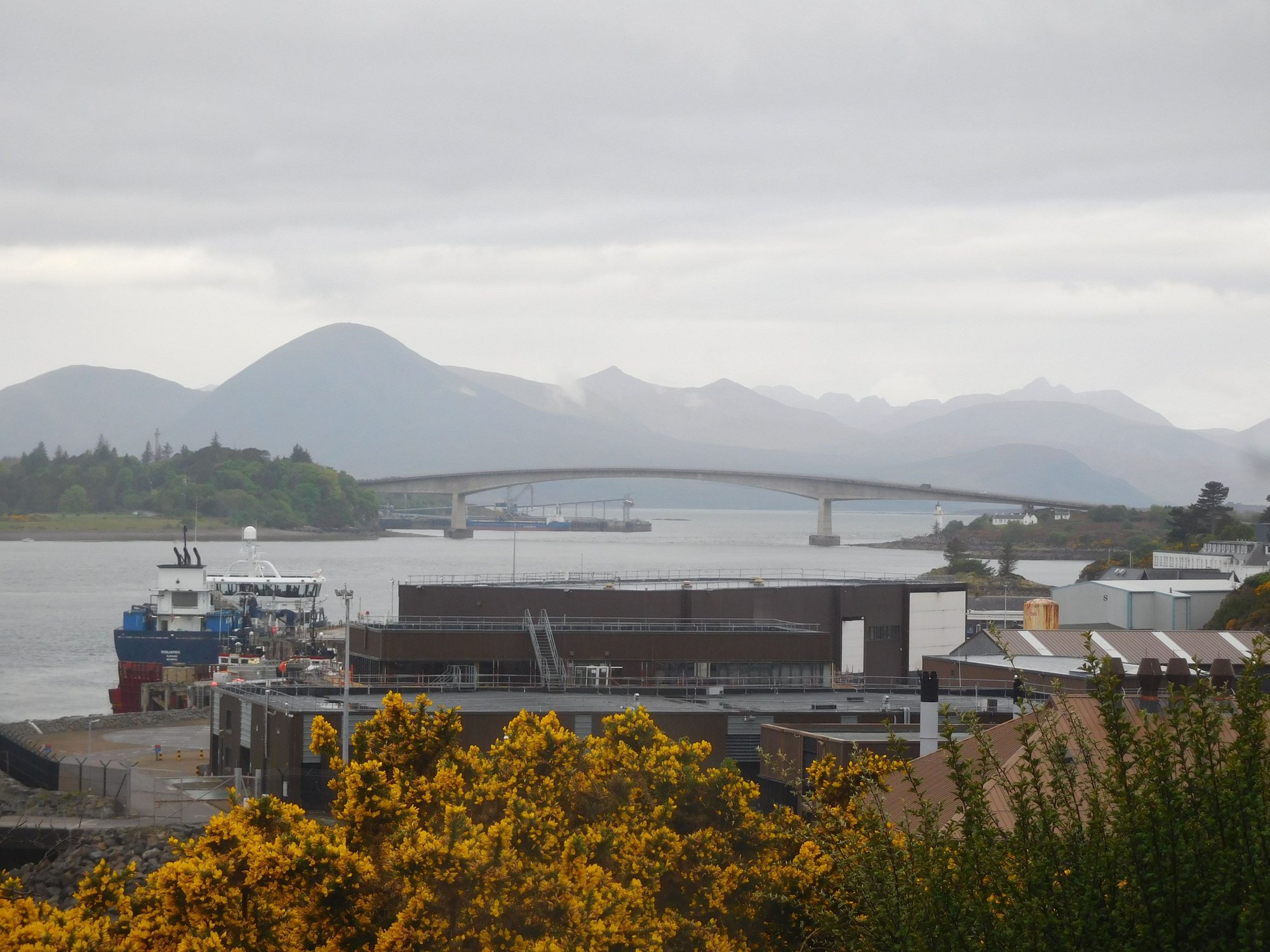
Kyle of Lochalsh, Skye bridge
The rainclouds fortuitously cleared as we got to Skye ! After a quick stop at the Co-Op Store at Broadford to stock up on fuel (surprisingly our cheapest fill during this entire trip?!) and provisions, we continued down the A87. And then the Skye magic began to slowly unfold.
We also made two stops at Sligachan and Portree. I had to keep a close eye on the clock, as we had a 2.30pm ferry to catch (cars need to check in an hour early)!
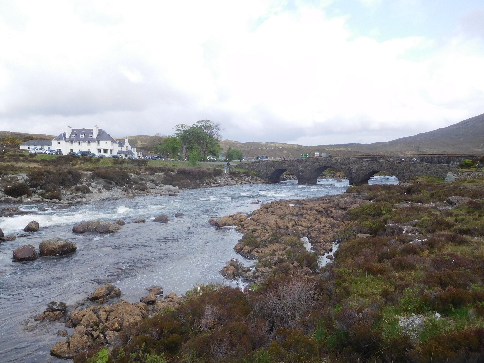
The Old Bridge and Sligachan Hotel :
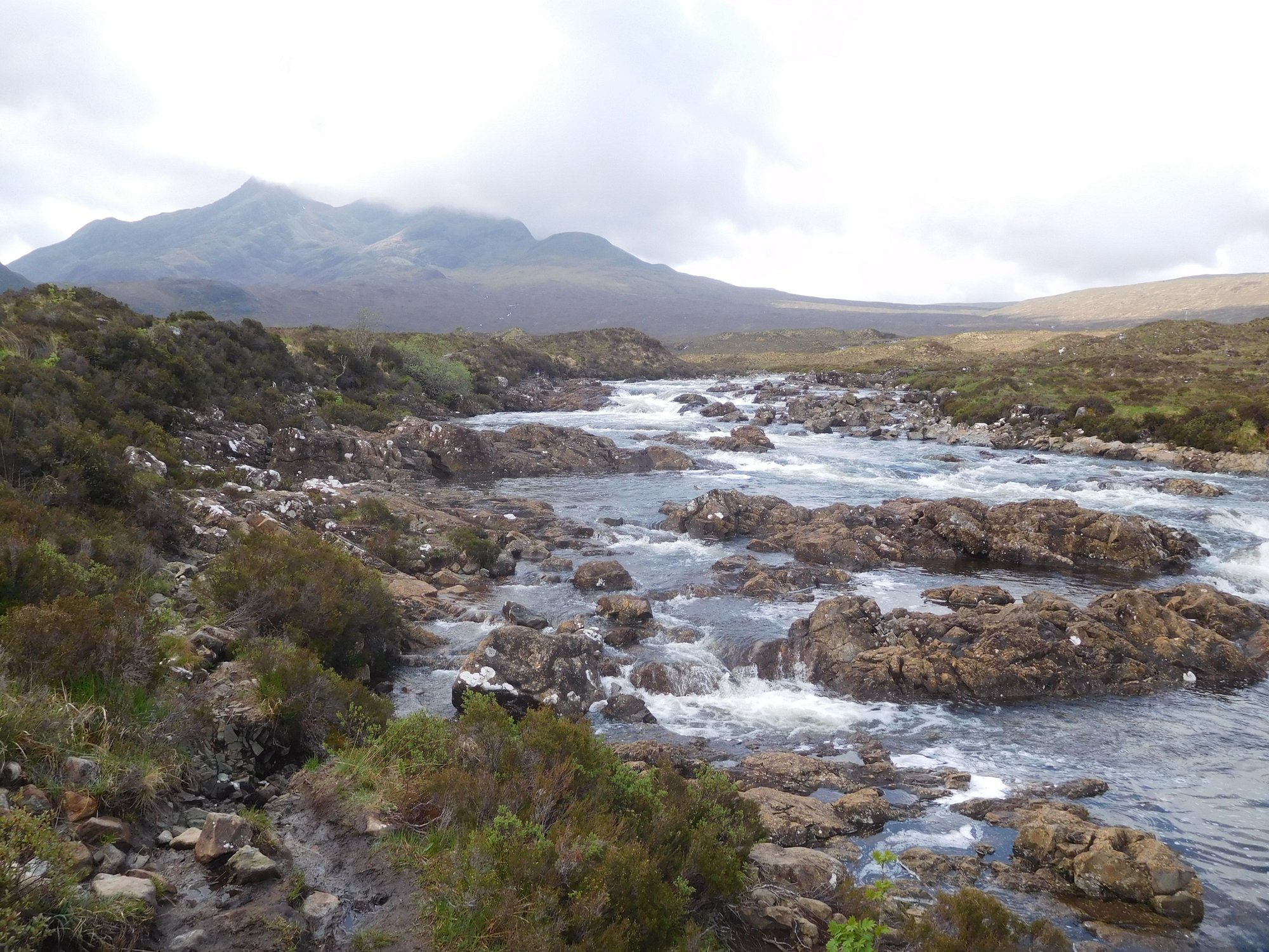
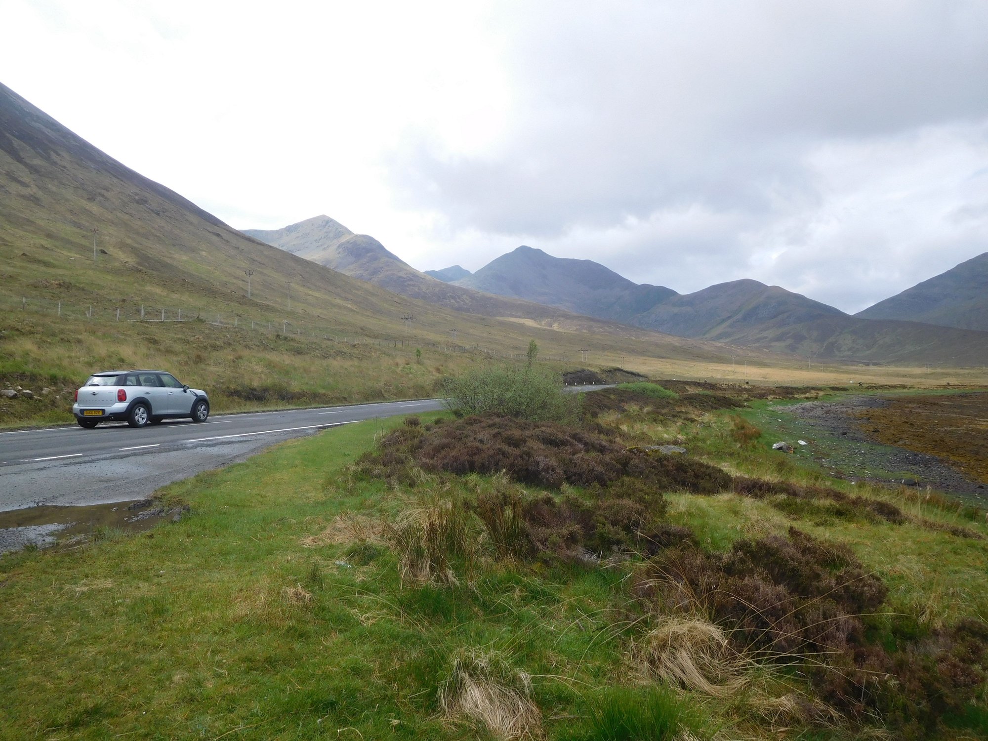
The Black Cuillin Mountains
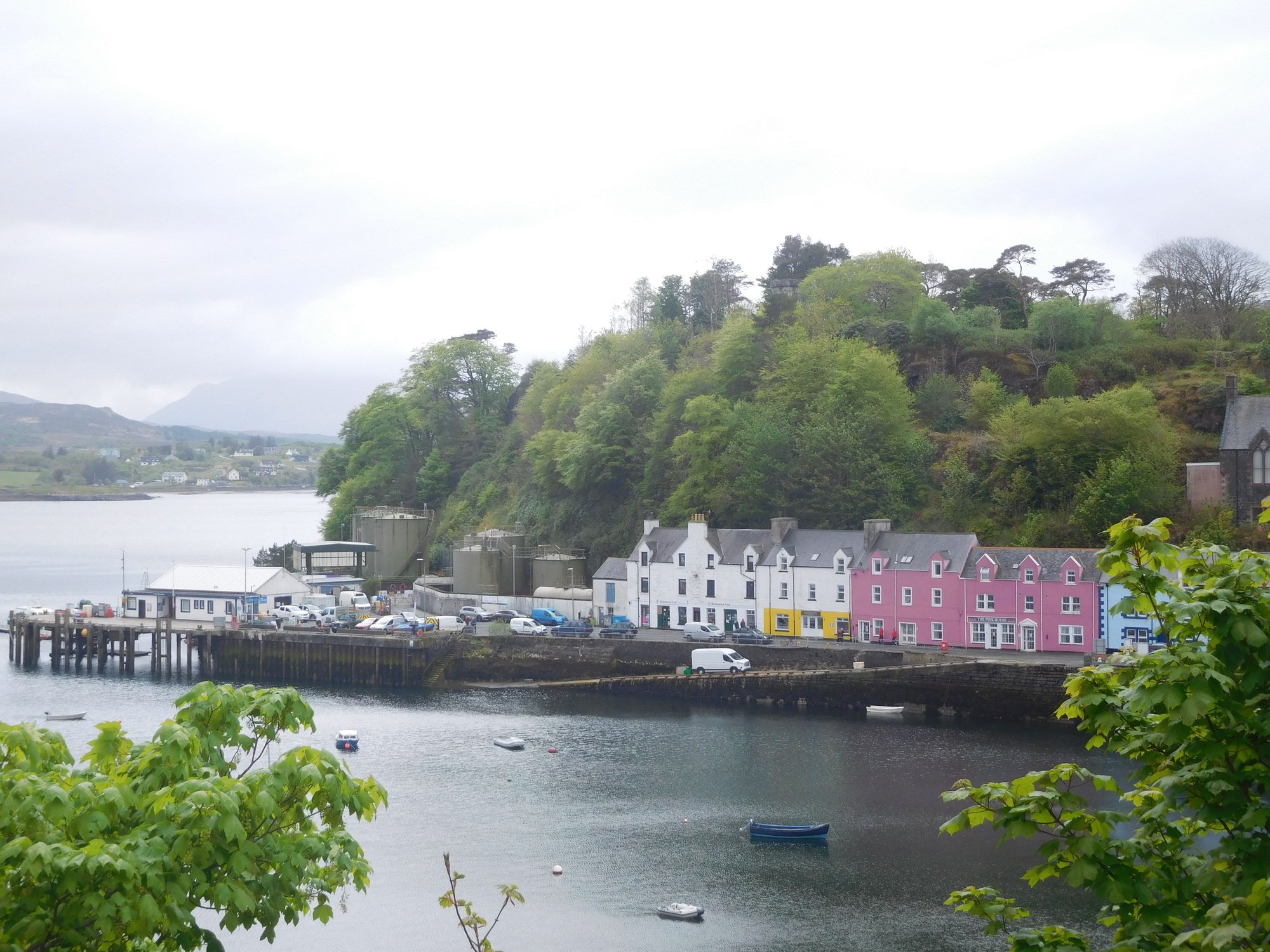
Portree harbour
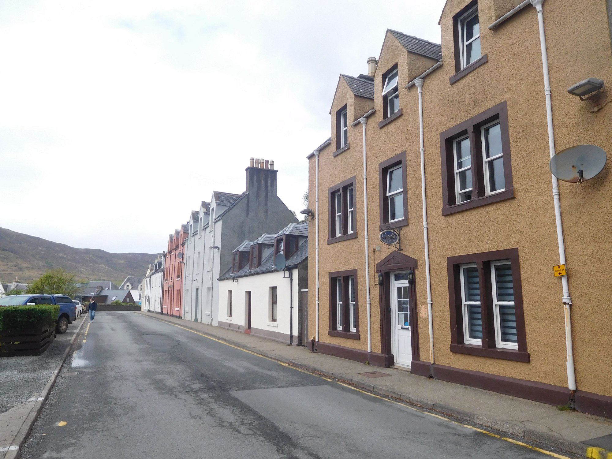
Driving through Bpsville Terrace, Portree
As we worked our way up the A855 through the Trotternish peninsula, so many of our fondest hiking and trekking memories came back to life. We eventually took the narrow single-track road near Quiraing that leads to Uig.
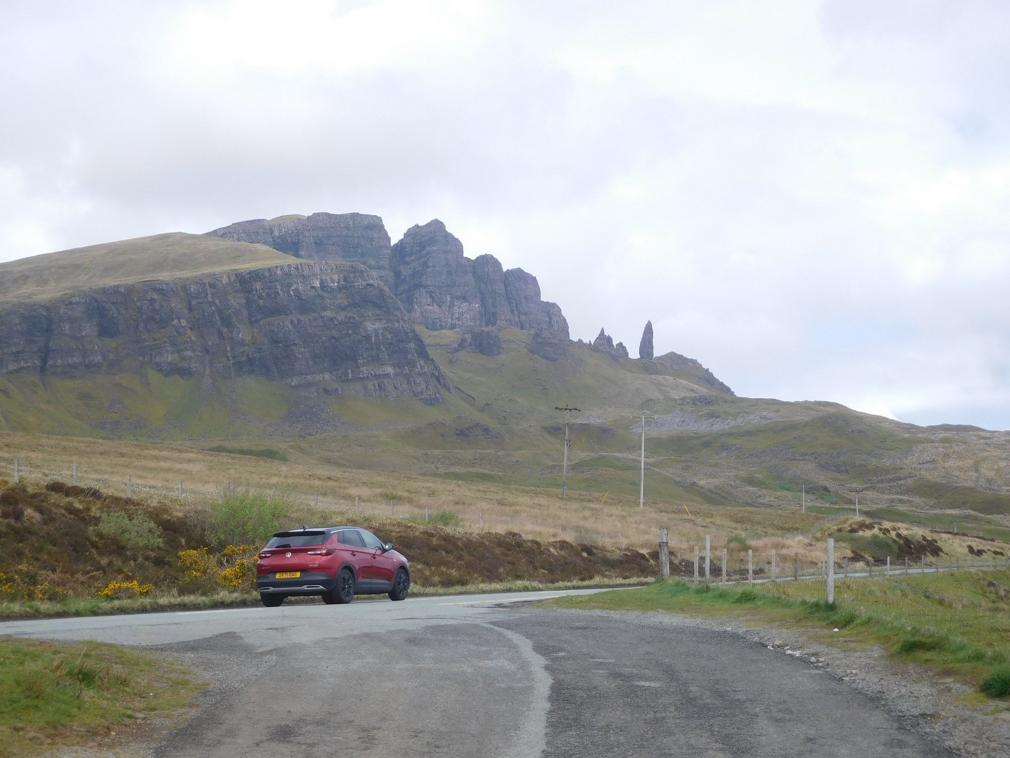
Past the Old Man of Storr
Lealt Falls
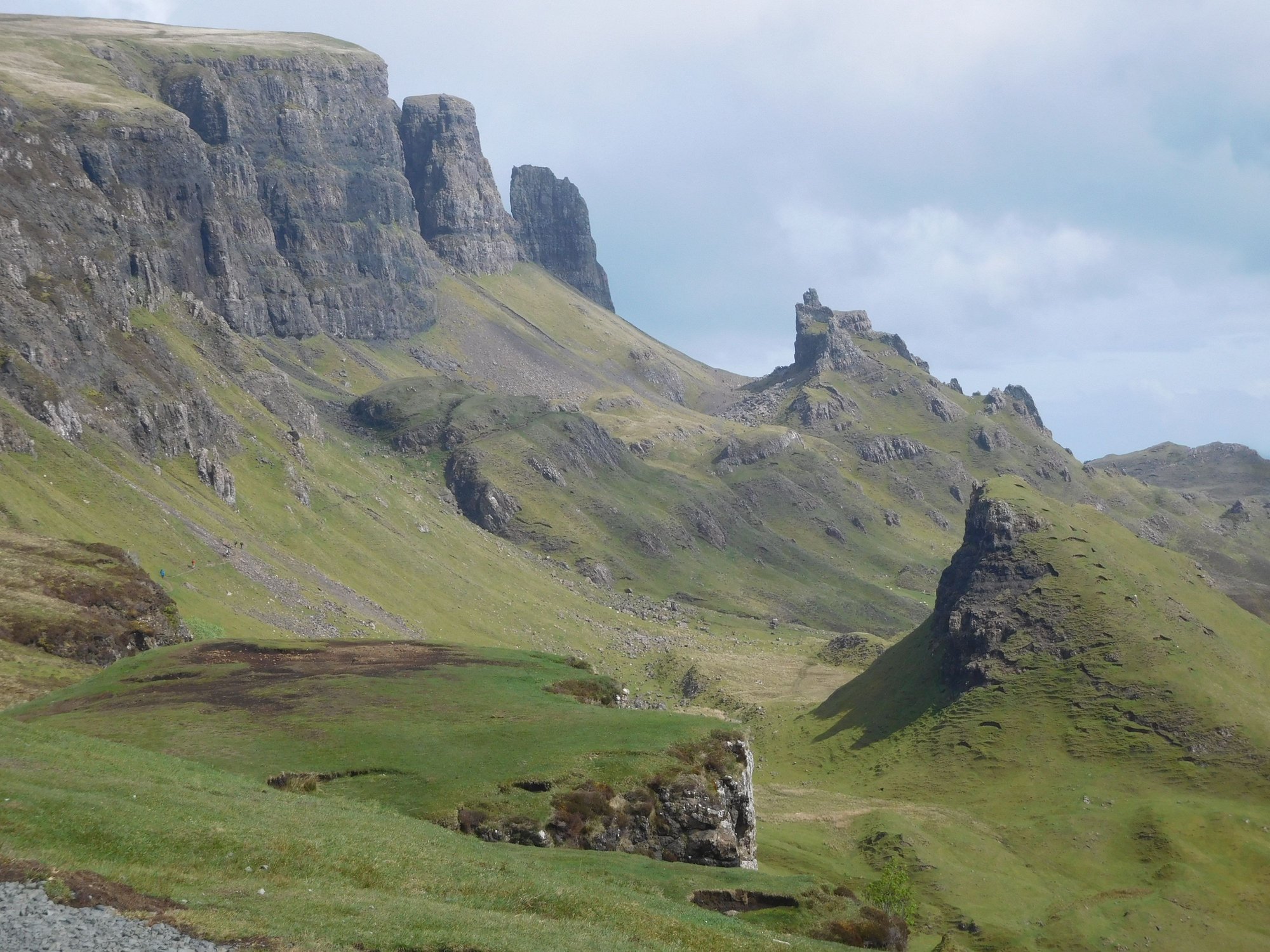
Quiraing
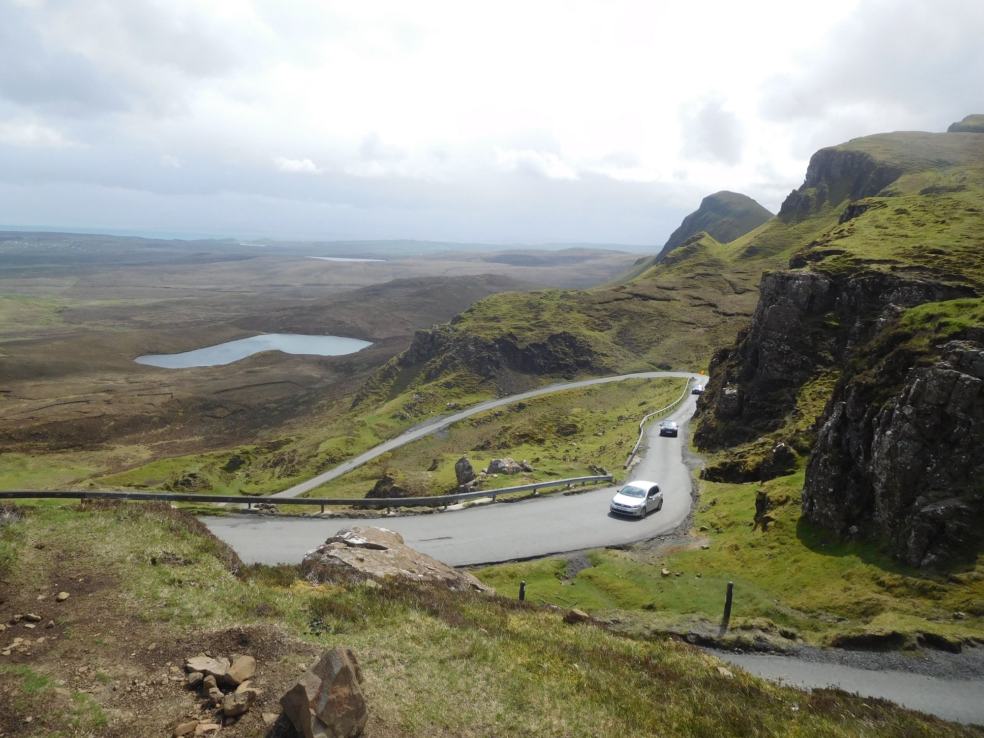
Along the Quiraing - Uig road
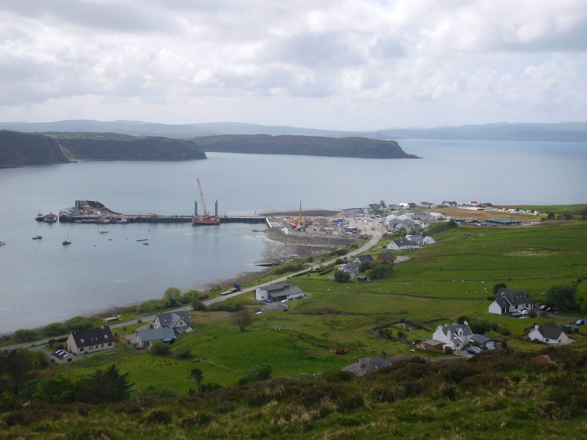
Thankfully, we reached Uig in good time. At Uig harbour, we parked our car in one of the boarding lanes at the port, and took a short stroll.
The road descends into Uig
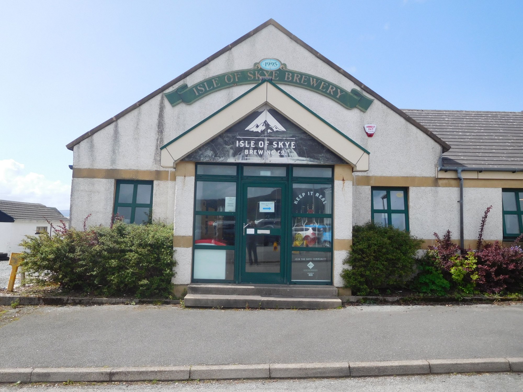
The Brewery
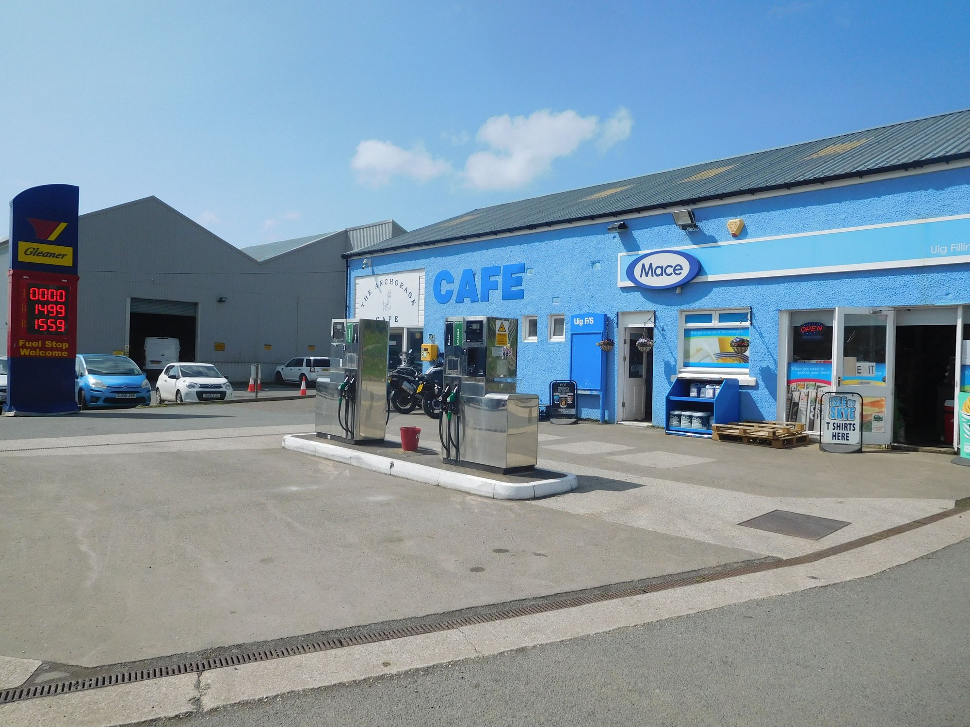
The Local Store and Filling Station
The Uig pier
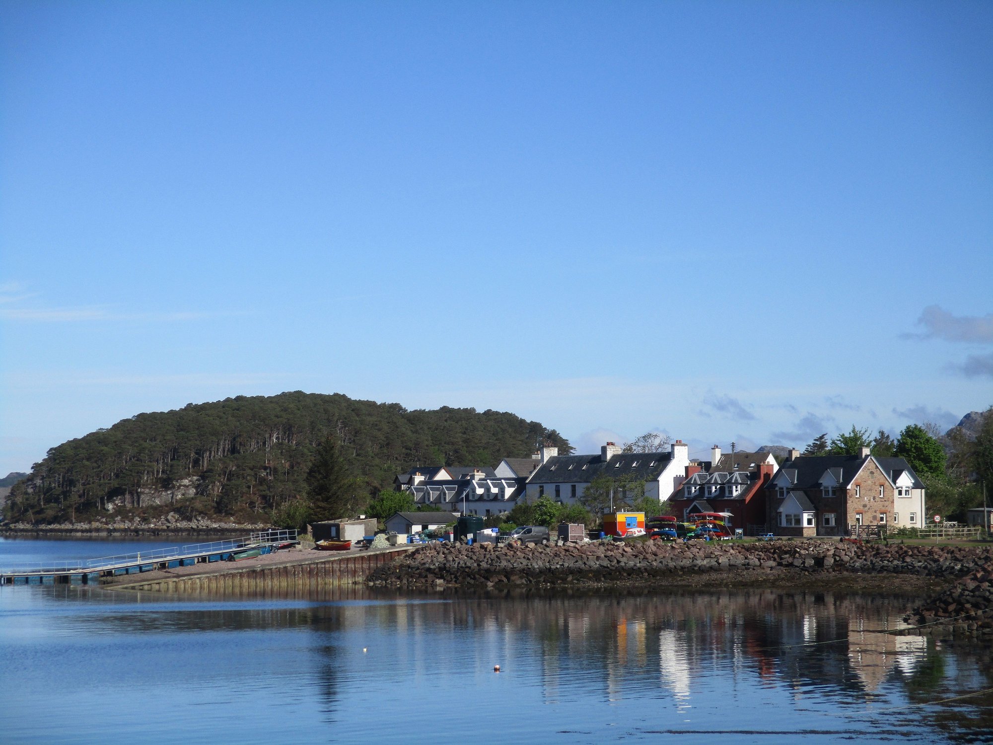
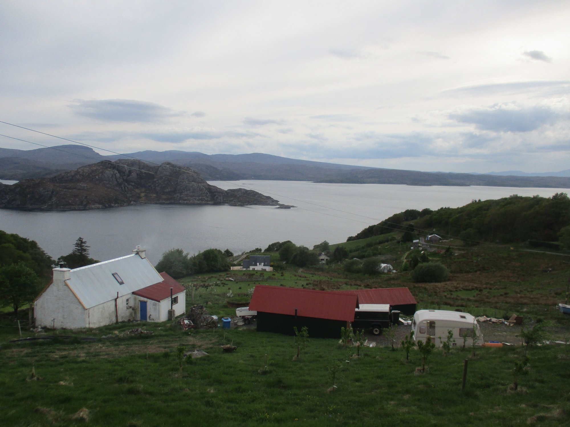
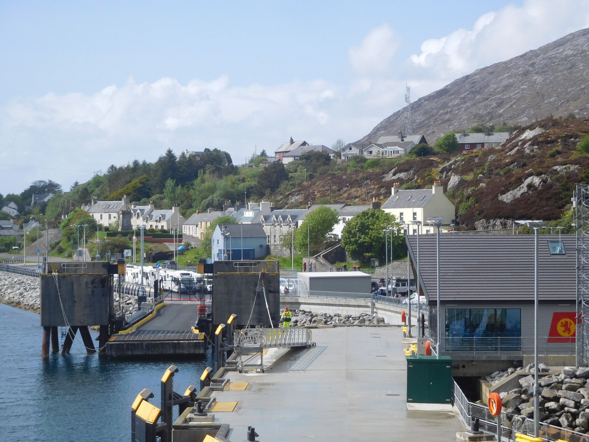
It was a calm ~ 2 hour sailing . It had been a long and tiring day, so as we hit Tarbert we just drove to our B&B (located close to the port and right by the loch), relaxed and called it an early night.
Reaching Tarbert, by the port
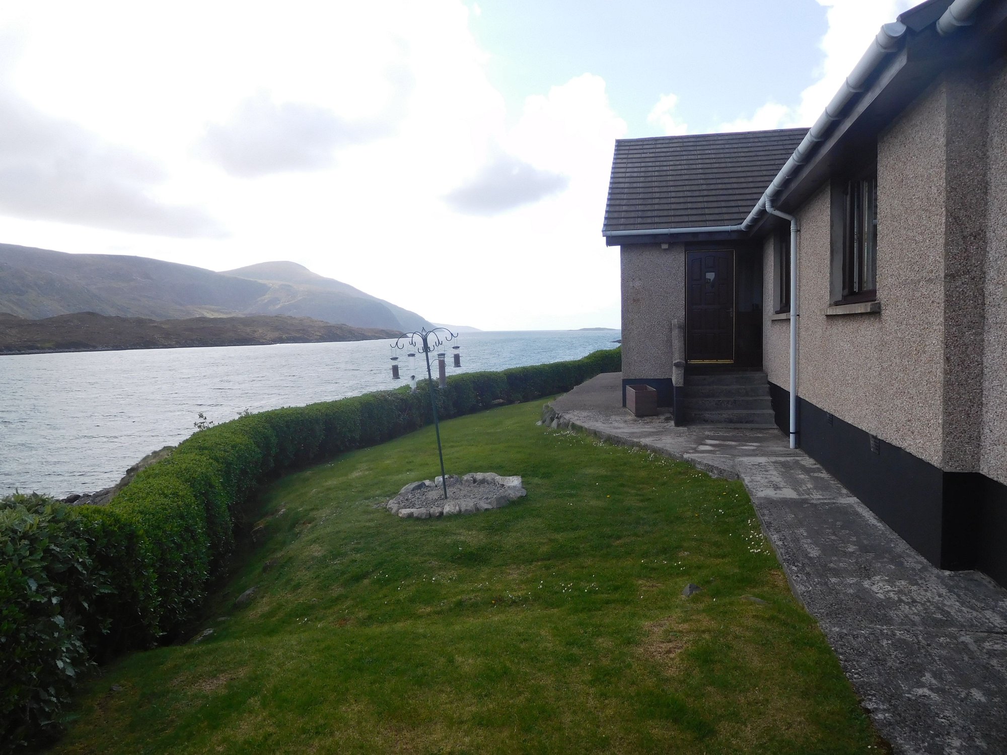
At our lochside B&B
Lewis & Harris : 4 nights, based in Tarbert
Uist : 1 night, based in Eriskay
Barra : 2 nights based in Castlebay
The islands are connected to each other and the Scottish mainland itself by ferries operated by Calmac.
We were booked on an afternoon ferry from Uig (at the northern tip of Isle of Skye) to Tarbert (Harris). The alternate sailing is Ullapool-Stornoway. However, I just wanted to experience Skye again (even if only a quick drive through the island) to relive our memories from 2017 (we spent a long weekend, based out of Portree).
Its hard to resist the urge to keep pulling over every few miles in Skye. With that in mind, we made a rather early start after bidding a sad farewell to Torridon. We drove quickly down the A896 to Loch Carron and switching over to the slower A890 which led us to the Kyle of Lochalsh (and the bridge that connects Skye to the mainland).
Kyle of Lochalsh, Skye bridge
The rainclouds fortuitously cleared as we got to Skye ! After a quick stop at the Co-Op Store at Broadford to stock up on fuel (surprisingly our cheapest fill during this entire trip?!) and provisions, we continued down the A87. And then the Skye magic began to slowly unfold.
We also made two stops at Sligachan and Portree. I had to keep a close eye on the clock, as we had a 2.30pm ferry to catch (cars need to check in an hour early)!
The Old Bridge and Sligachan Hotel :
The Black Cuillin Mountains
Portree harbour
Driving through Bpsville Terrace, Portree
As we worked our way up the A855 through the Trotternish peninsula, so many of our fondest hiking and trekking memories came back to life. We eventually took the narrow single-track road near Quiraing that leads to Uig.
Past the Old Man of Storr
Lealt Falls
Quiraing
Along the Quiraing - Uig road
Thankfully, we reached Uig in good time. At Uig harbour, we parked our car in one of the boarding lanes at the port, and took a short stroll.
The road descends into Uig
The Brewery
The Local Store and Filling Station
The Uig pier
It was a calm ~ 2 hour sailing . It had been a long and tiring day, so as we hit Tarbert we just drove to our B&B (located close to the port and right by the loch), relaxed and called it an early night.
Reaching Tarbert, by the port
At our lochside B&B
Jun 13th, 2023 | 10:13 PM
#58
Original Poster
Joined: Oct 2005
Posts: 931
Likes: 28
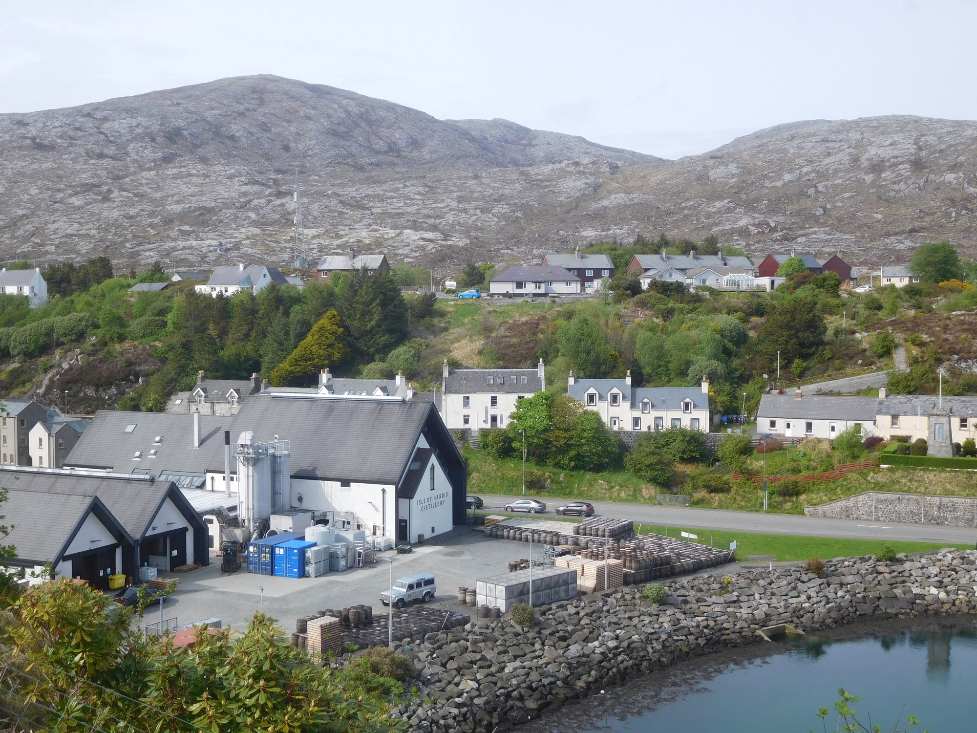
DAY 17 : Tarbert (Lewis & Harris)
Lewis and Harris is actually a single, large island with Lewis to the north and Harris to the south, separated only by mountains. I had planned our driving routes for the next 3 days so we could maximise coverage, without needless backtracking given the large distances. Today, our focus was the historic sites in Lewis and parts of northern Harris.
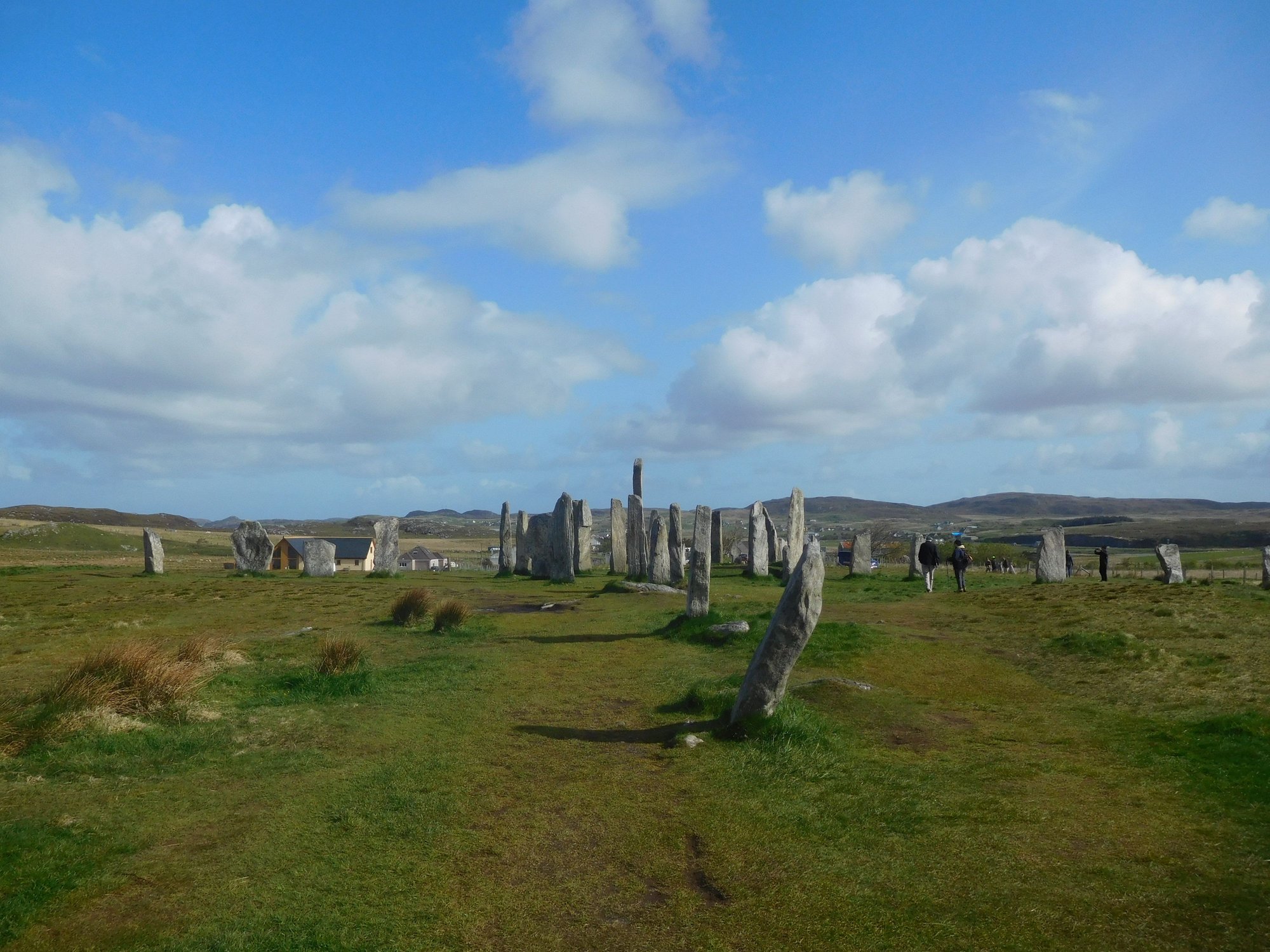
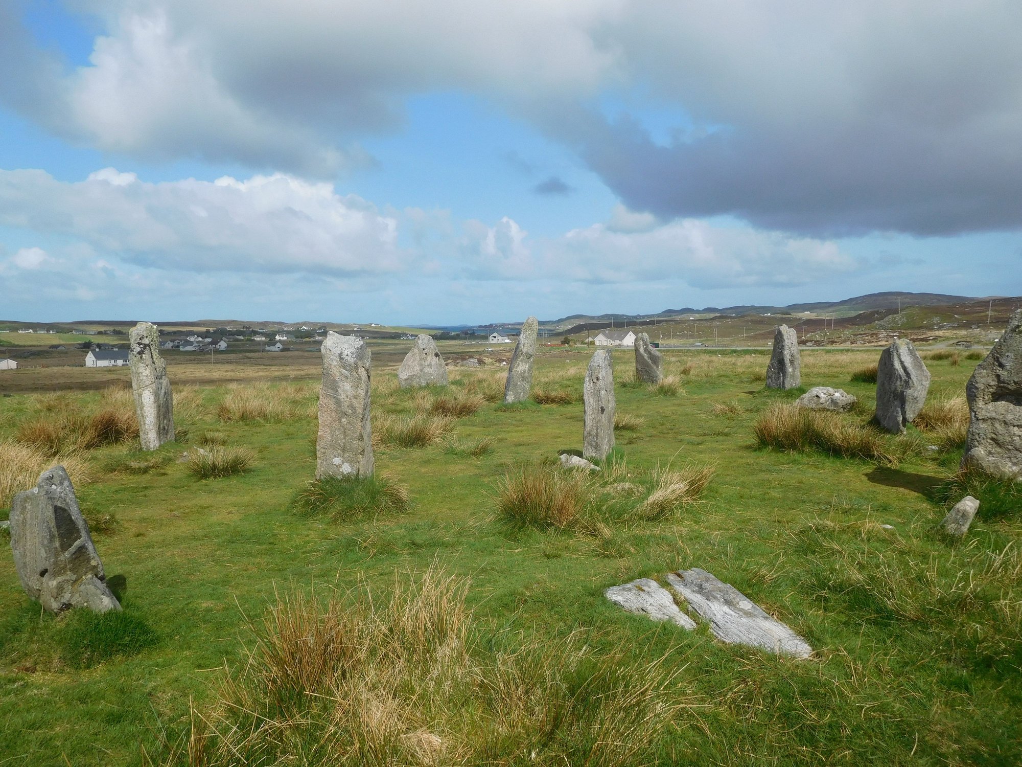
Our first stop was the very impressive Callanish Standing Stones, which predate the Stonehenge and make for an enthralling experience as you can walk amidst them. It�s unclear whether this was a ritualistic site or an astronomical observatory. There are a few minor sites Callanish 2 and Callanish 3 in the proximity as well.
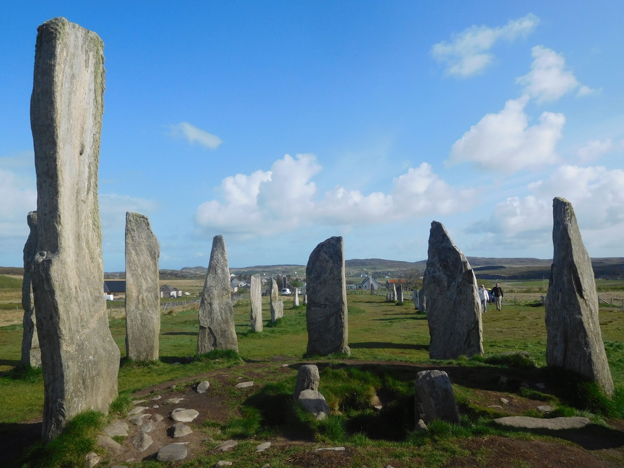
At Callanish 1
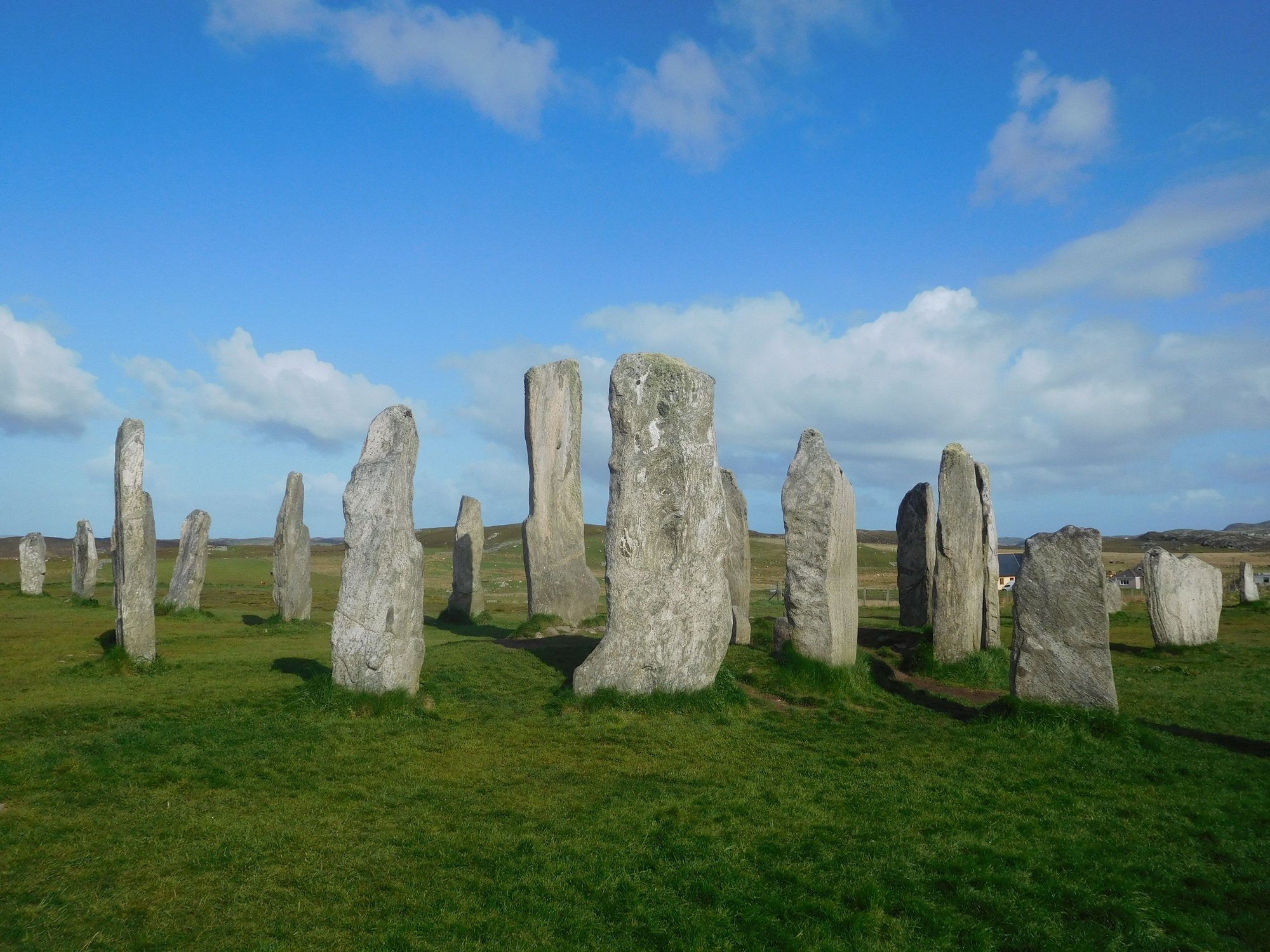
At Callanish 1
At Callanish 1
Views from Callanish 1, visitor centre in the distance
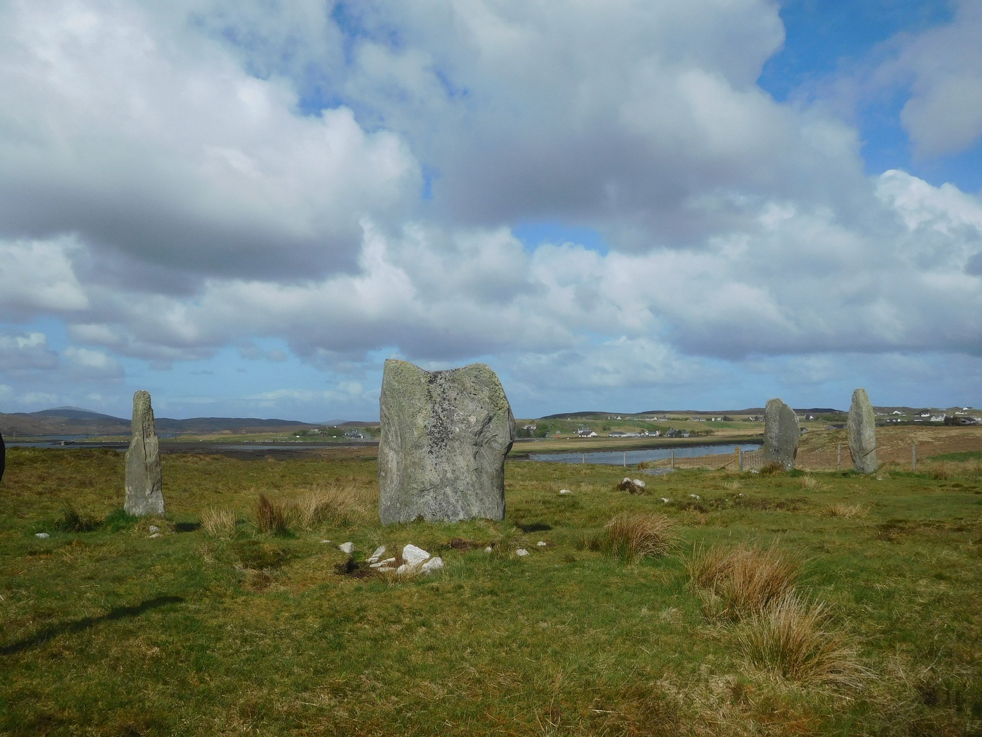
Callanish 2

Callanish 2, from afar
Callanish 3
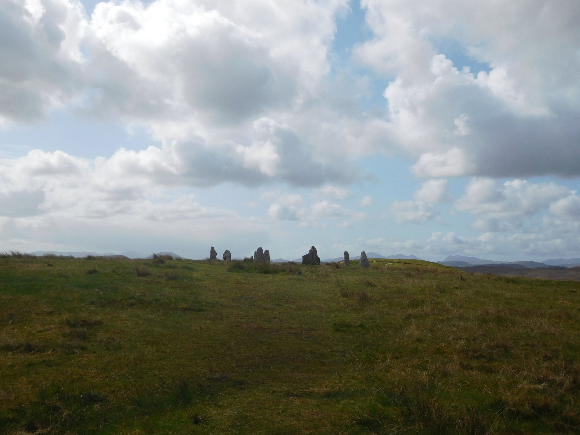
Callanish 3, from afar
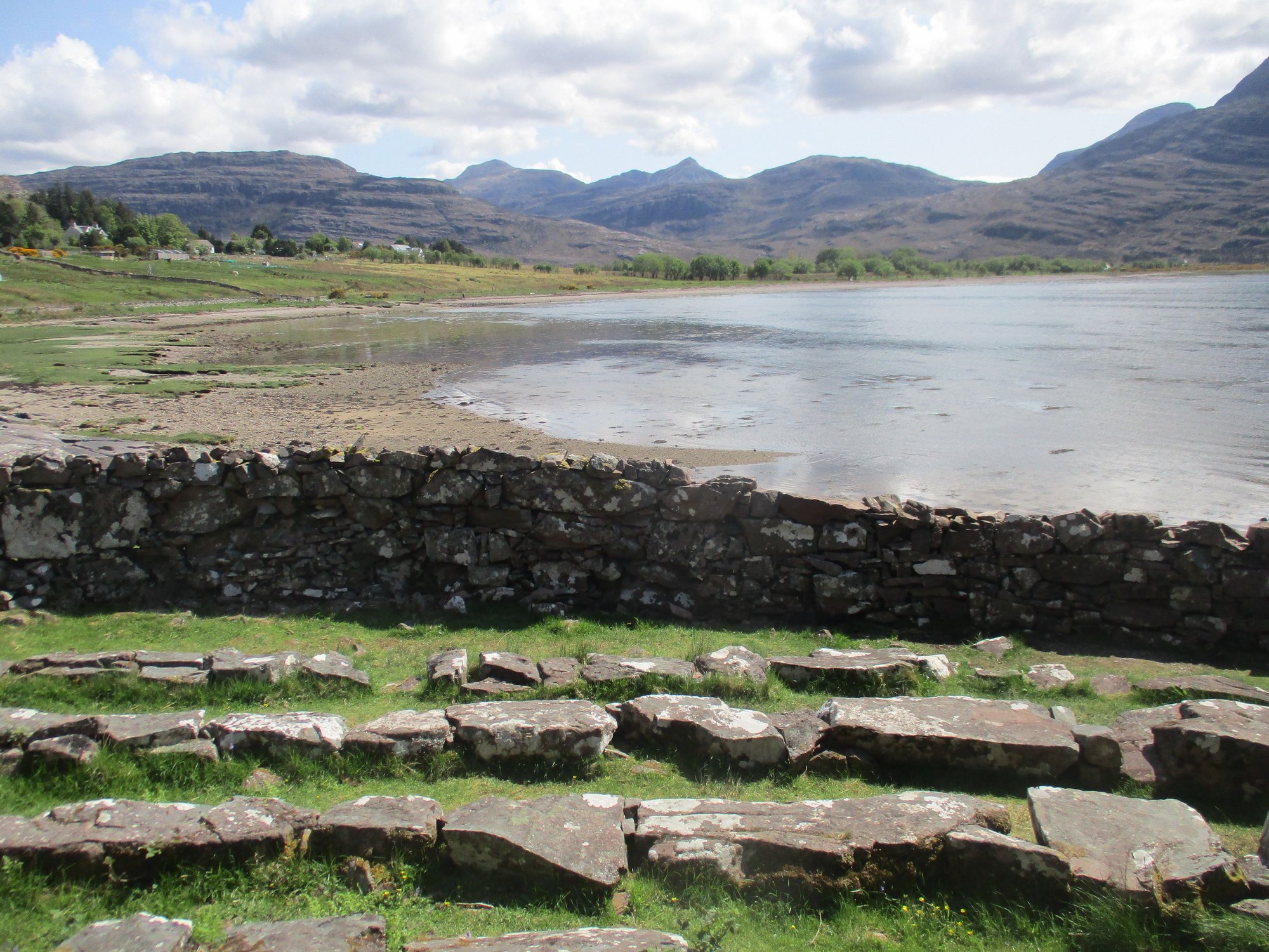
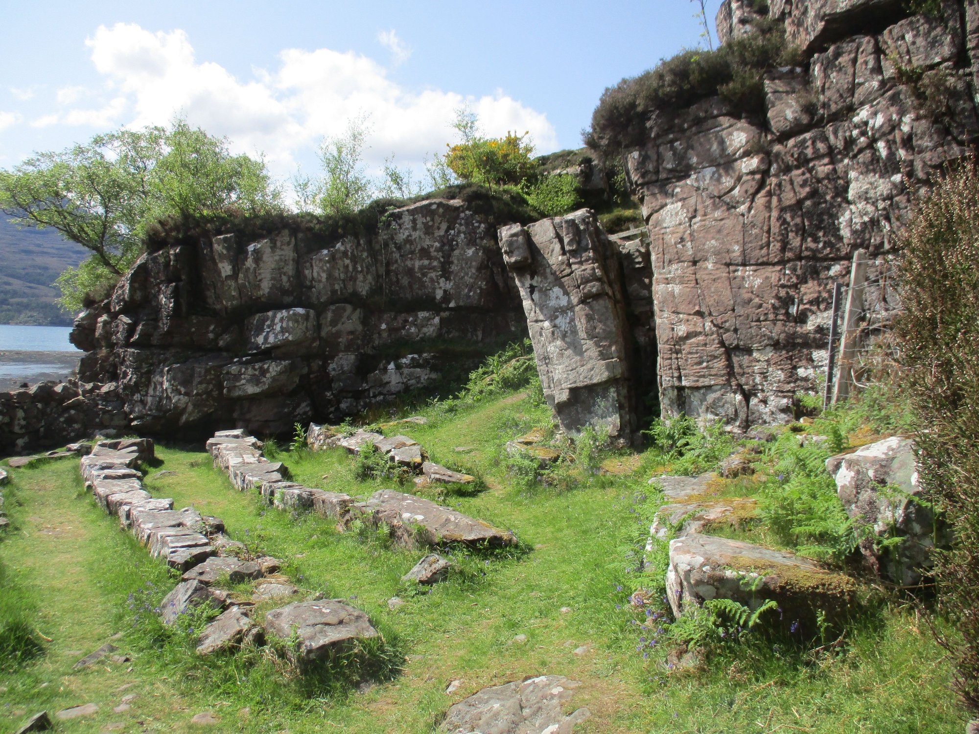
Our next stop was the Dun Carloway Broch, built around 200BC and used as a defensive structure, providing refuge to people and their livestock. We made it out just before a bus arrived depositing a large tour group!
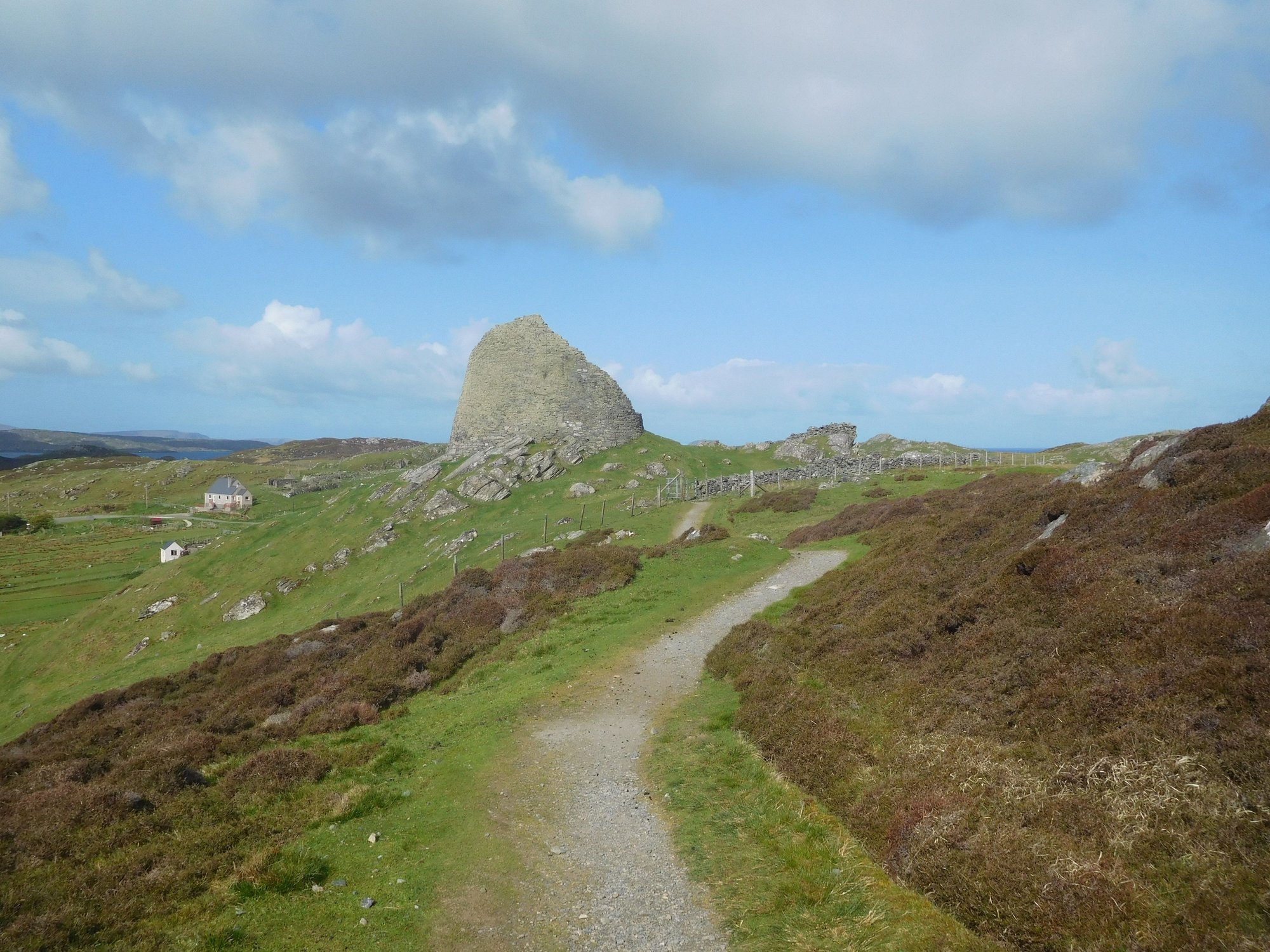
Climbing up to the broch
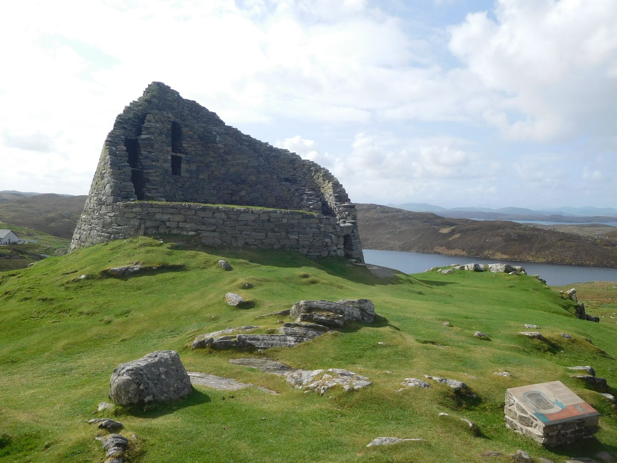
At the broch
Views from the broch
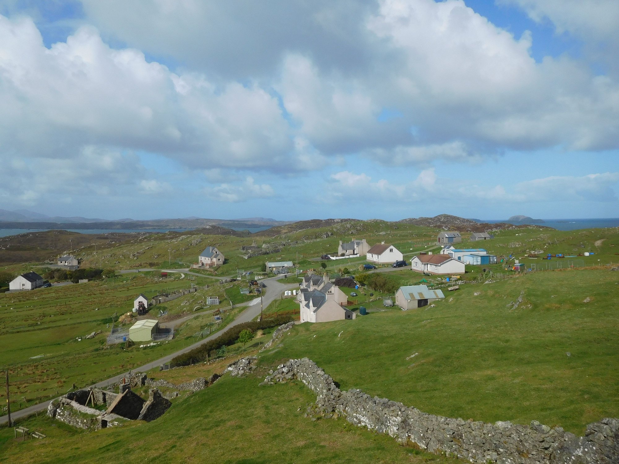
Our final stop on Lewis was the Garenin Blackhouse village, to get a preview of the traditional blackhouses with thatched roofs built in the 1800s across the Hebrides. Today, these serve as self catering accommodation!
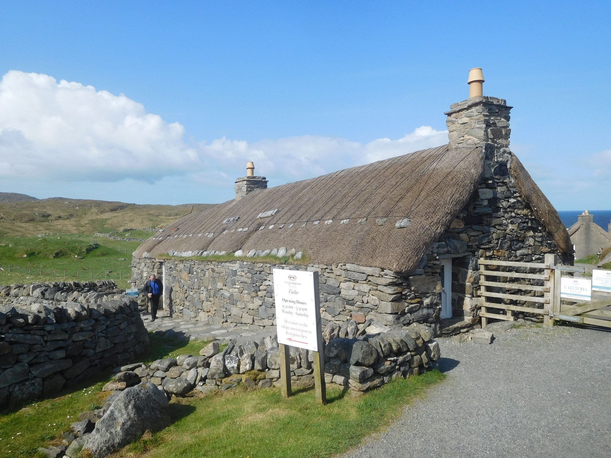
Entrance area and reception
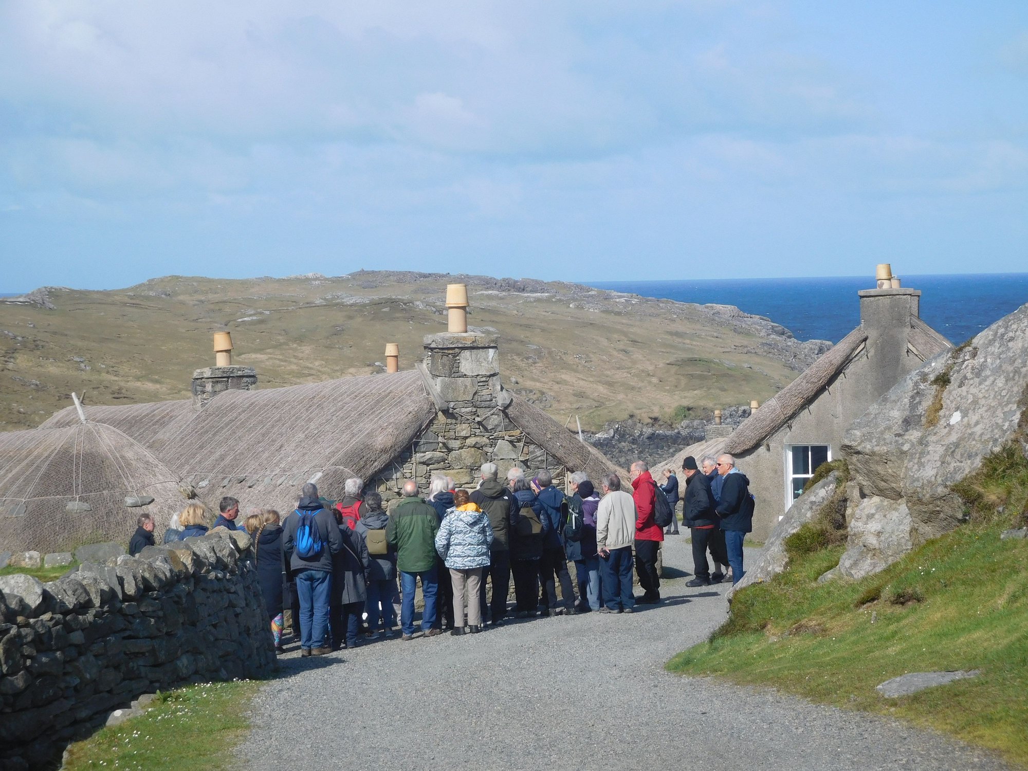
The village houses
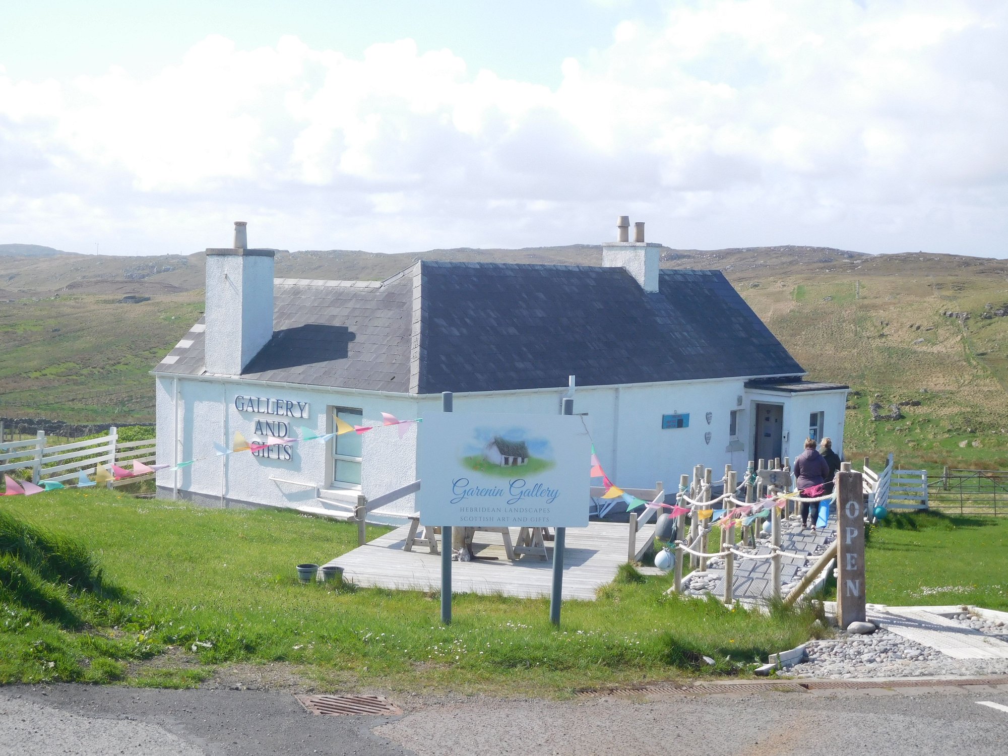
Art gallery next door
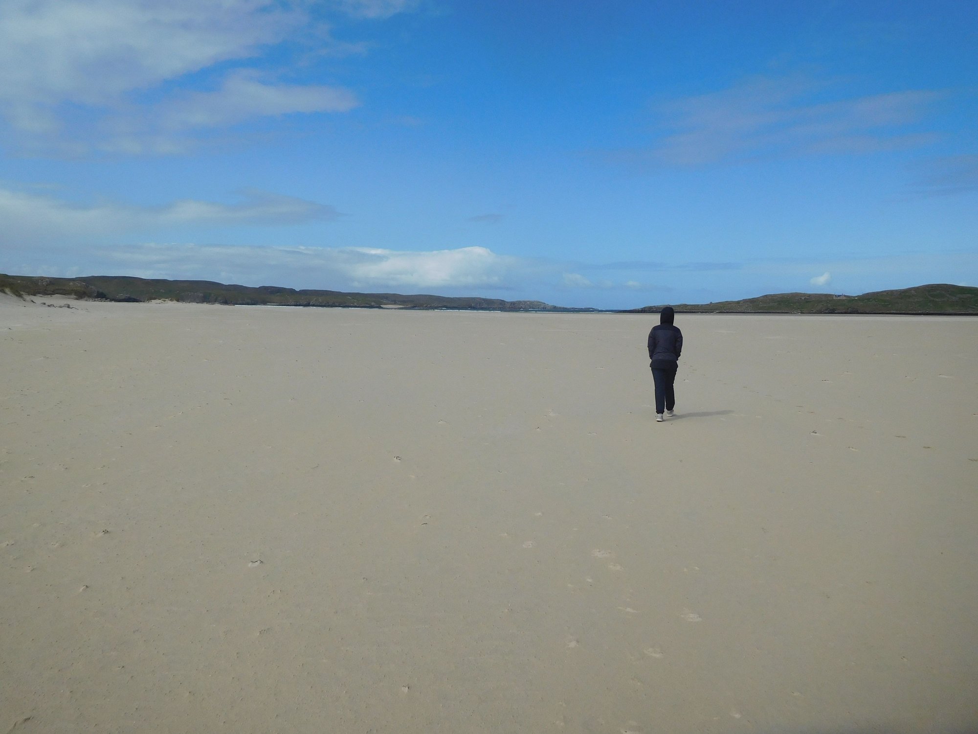
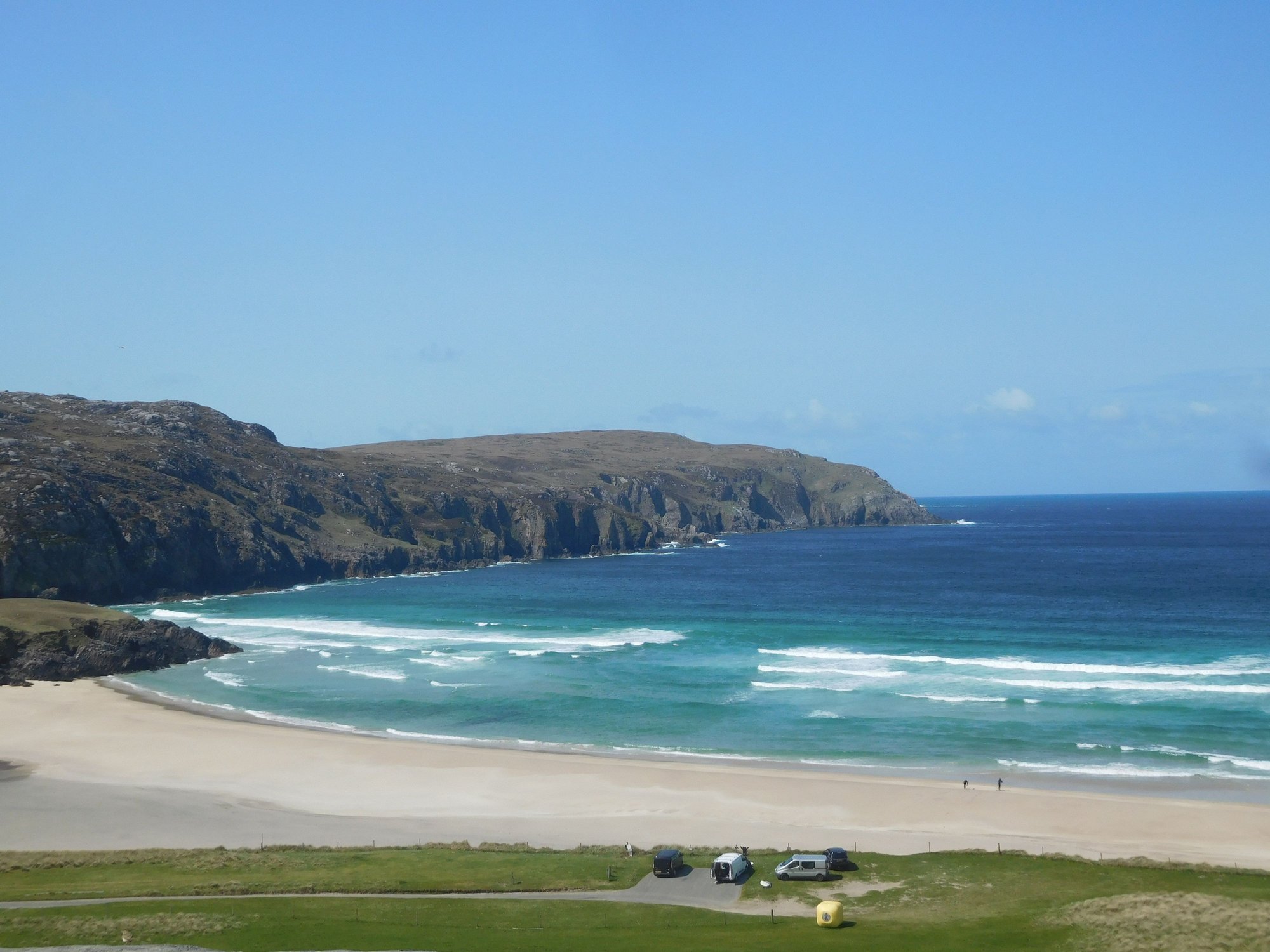
We retraced back to Harris and joined the minor road B8011. As we approached Uig Bay, we visited the replica of 12th century chess pieces, erected close to the spot where an ivory carved set was discovered in the 1800s and possibly the oldest chess set in the world ! The Ardroil Beach at Uig Bay was staggering � white sands stretching as far as the eye could see, and the clearest blue water.
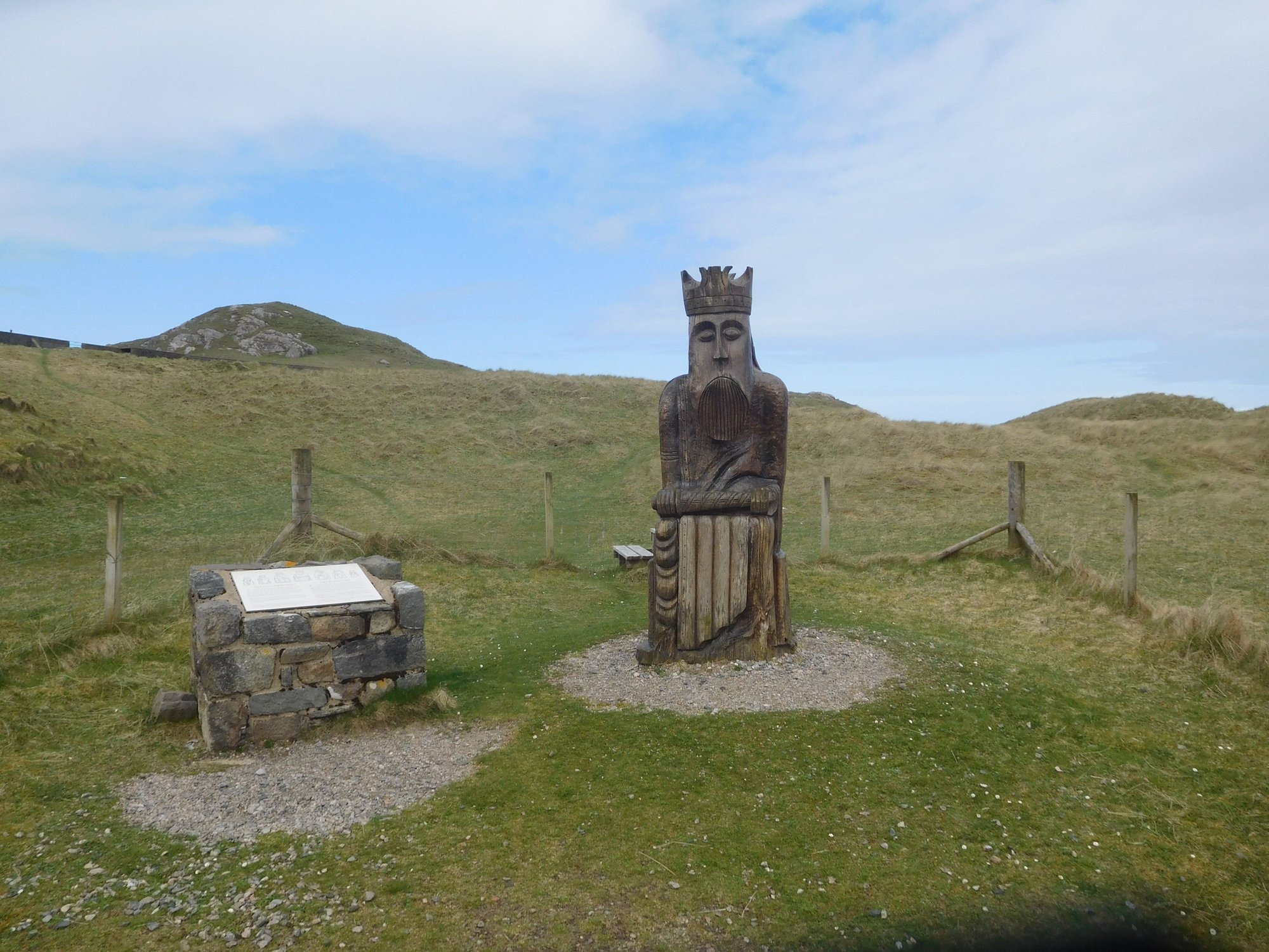
Chess piece exhibit by Uig Bay
Approach
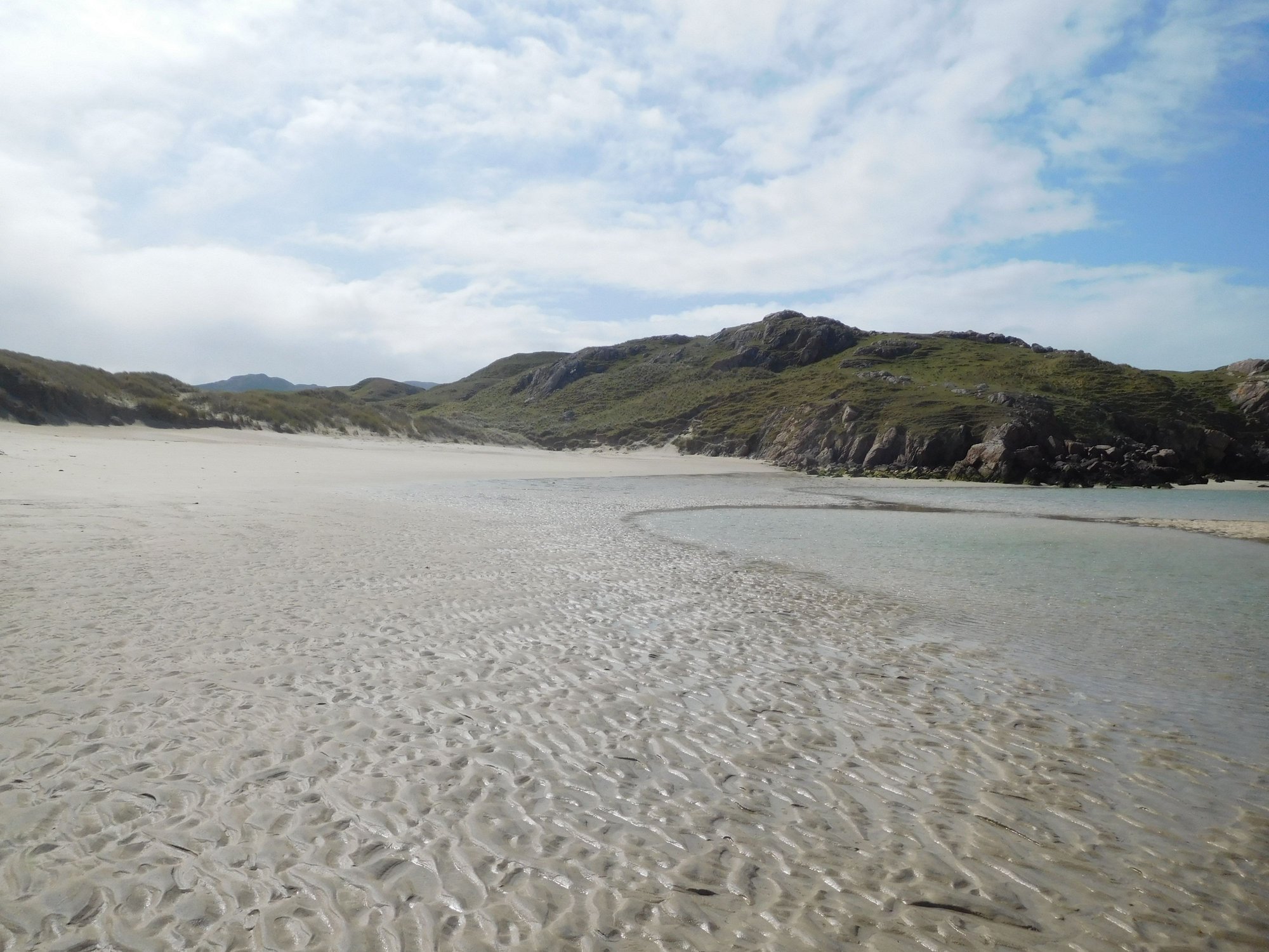
Lots of coves
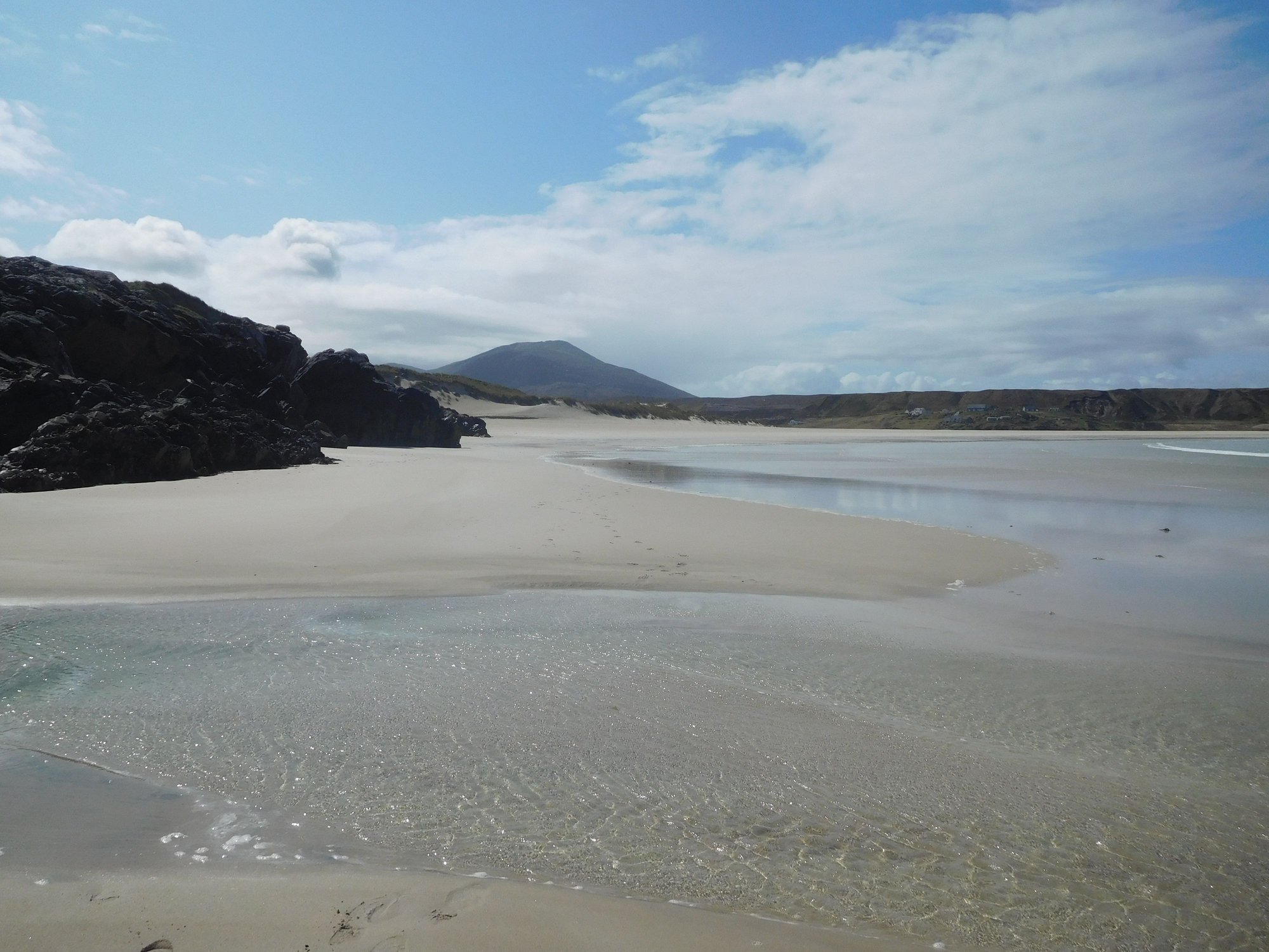
The beach
By the sea
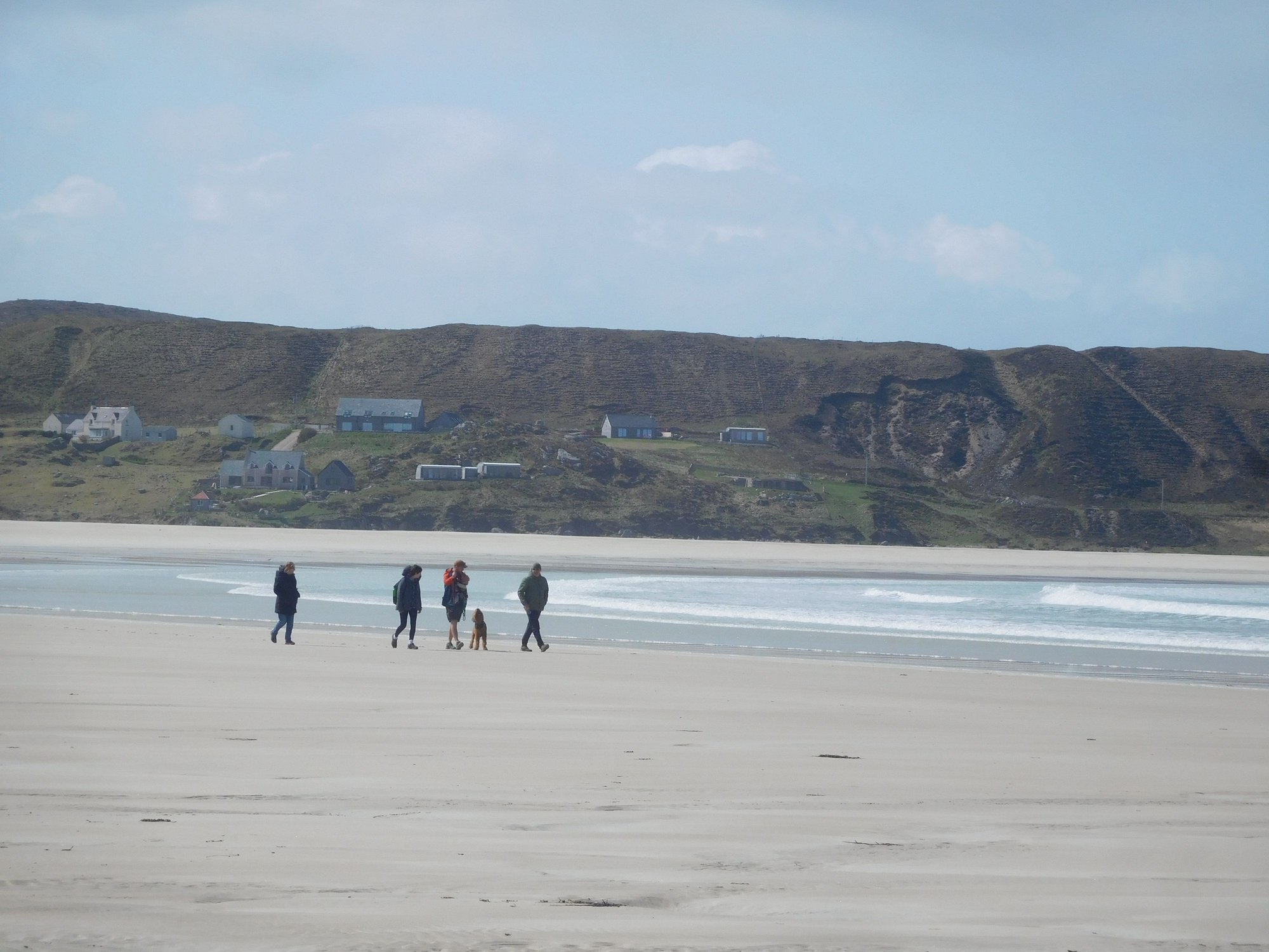
Finally a family joins us
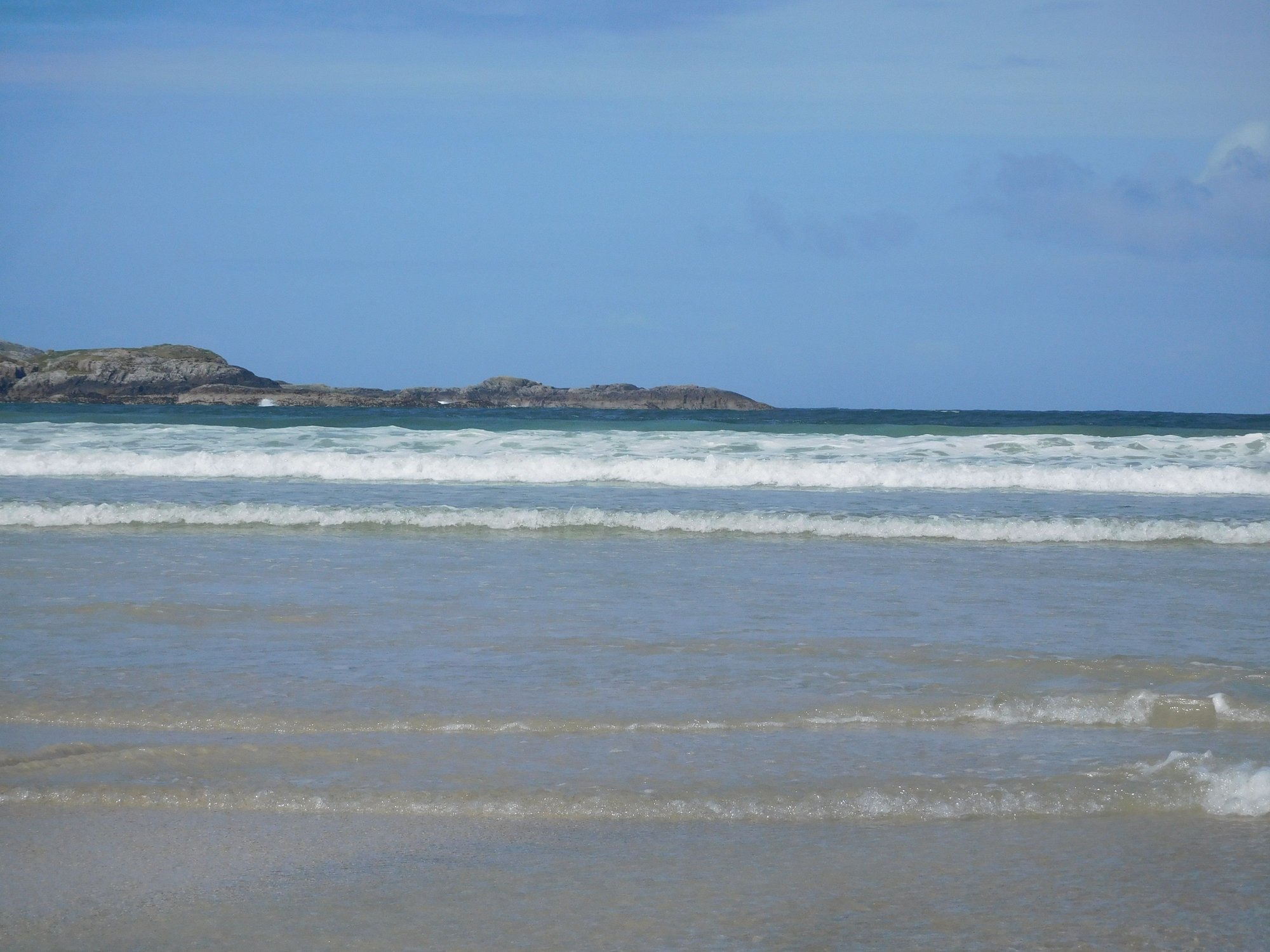
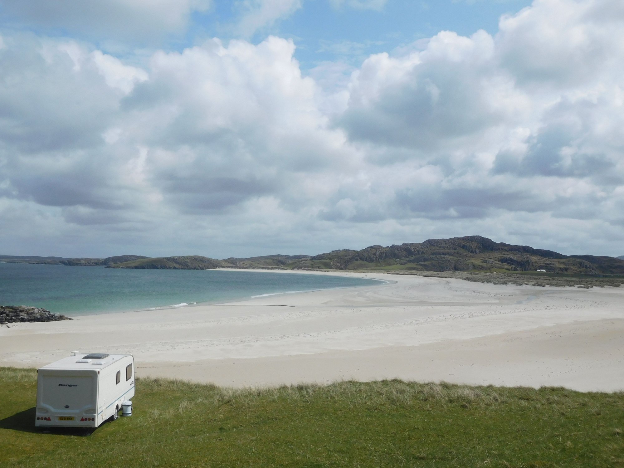
Our next stop was the wild and rocky beach at Mangersta. We had this beach to ourselves!
Mangersta
Mangersta
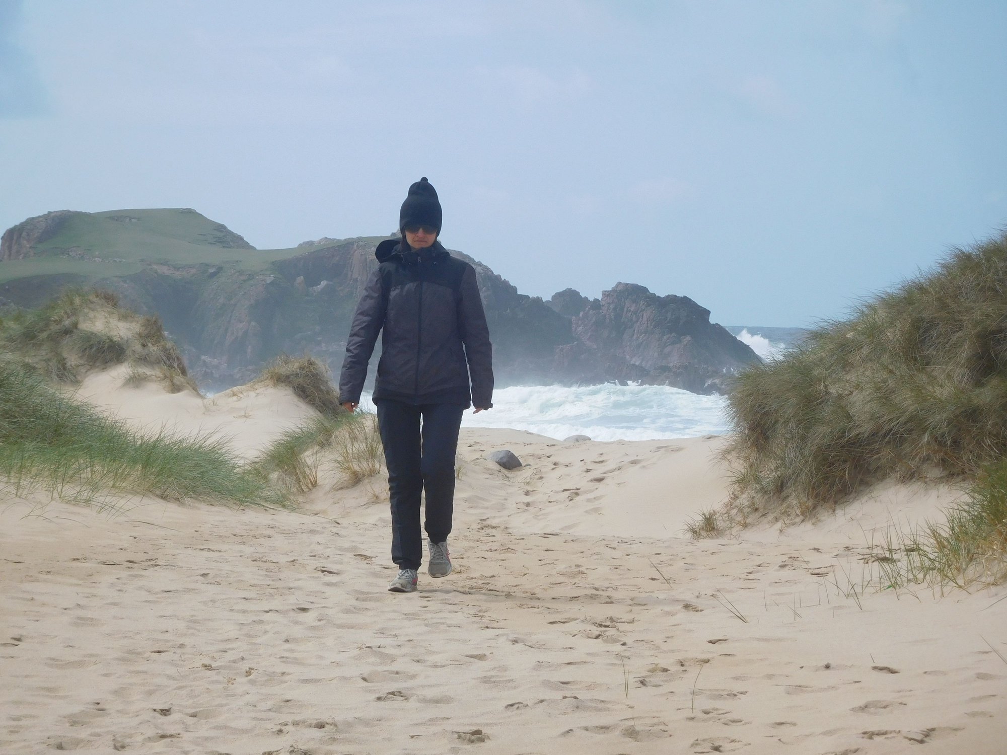
Along the beach
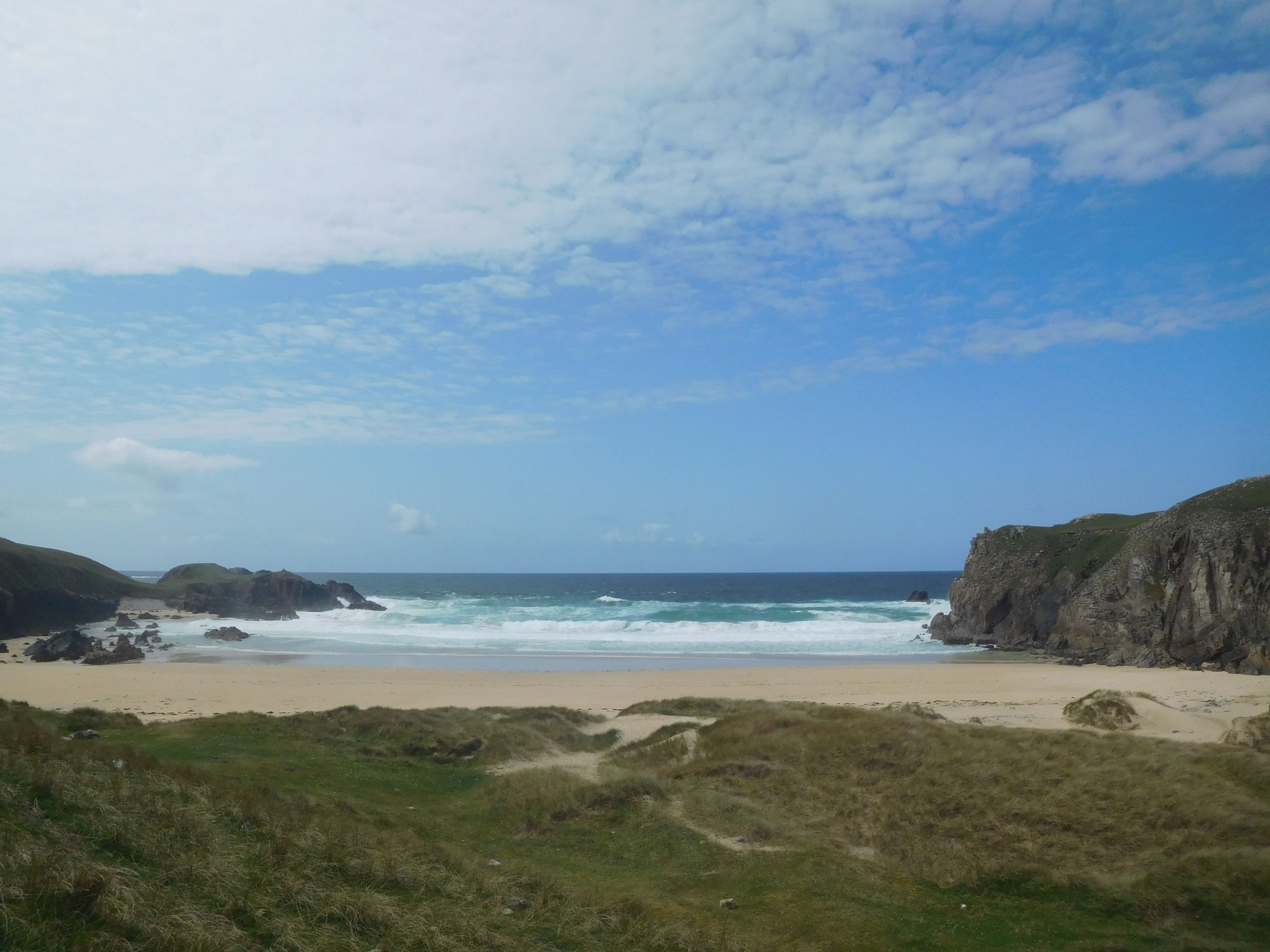
View of Mangersta, from parking
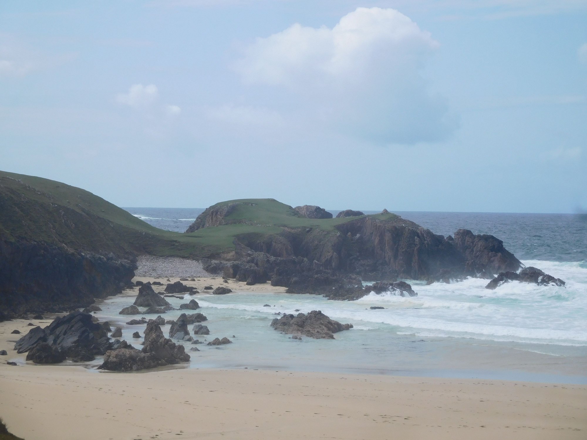
A short drive down the road brought us to the magnificent Mangersta sea stacks.
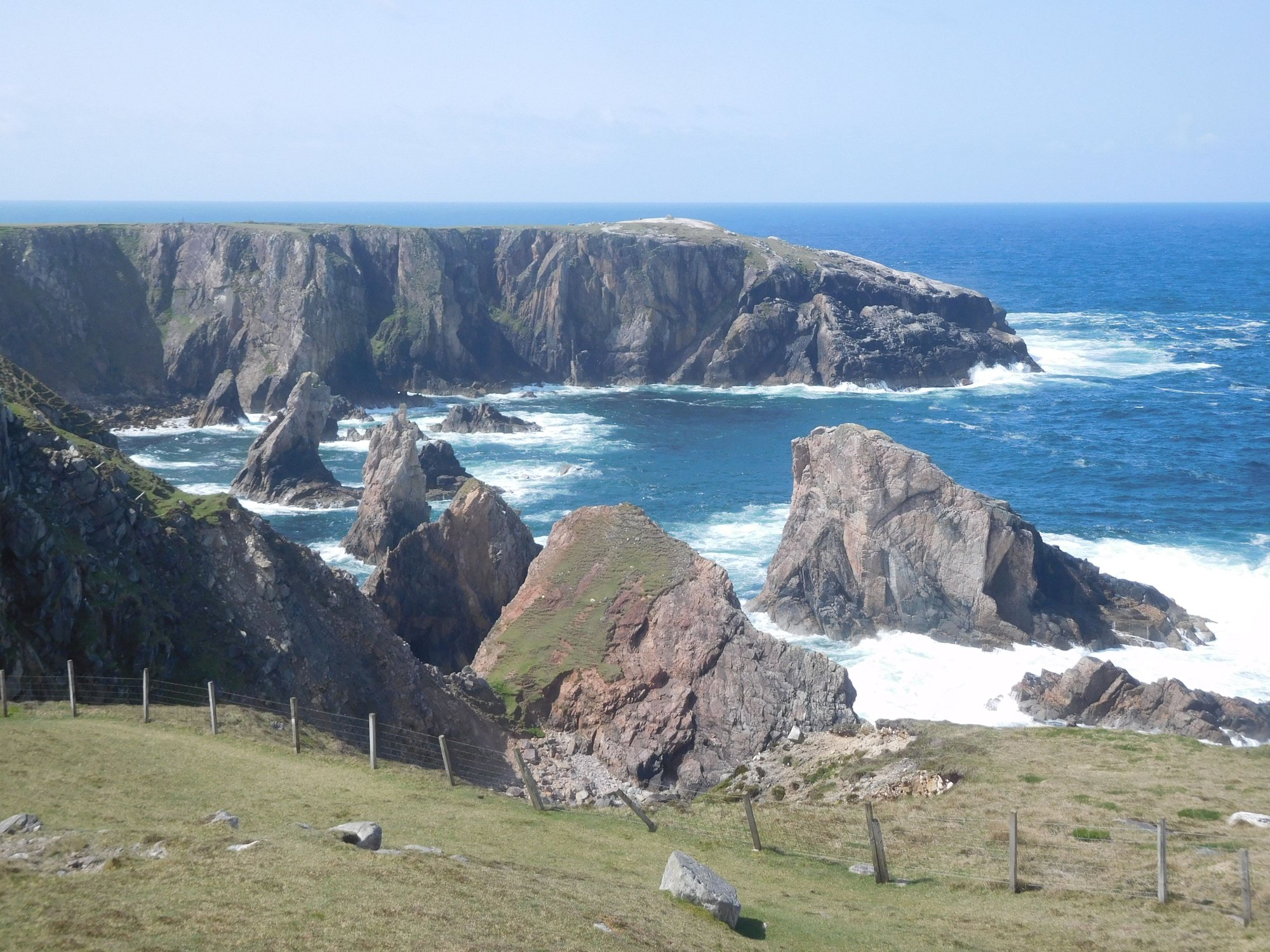
The stacks
Cliffs, with exposed pink stone - which I suspect makes for dramatic sunsets
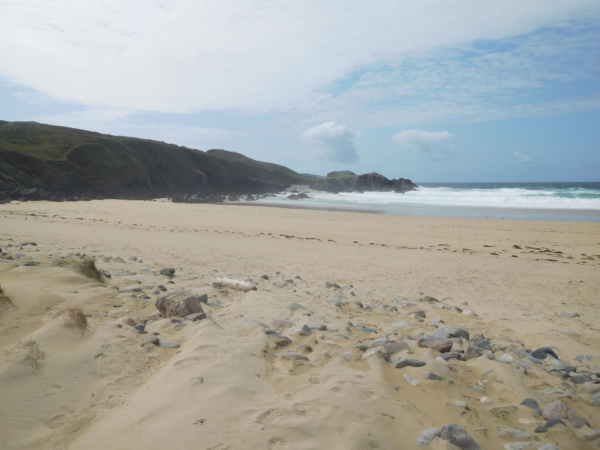
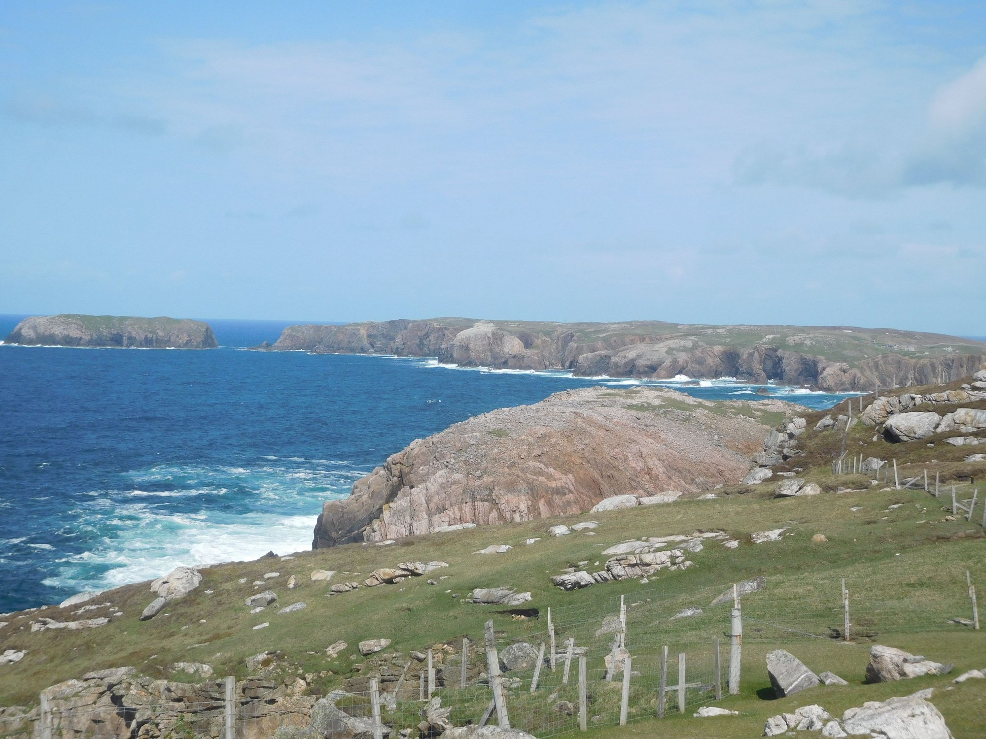
As we headed back, we made a final detour through the Valtos peninsula to pass through the little villages of Cliff, Kneep and Reef with more stunning beaches and coastal landscape.
Beach at Reef
Beach at Cliff
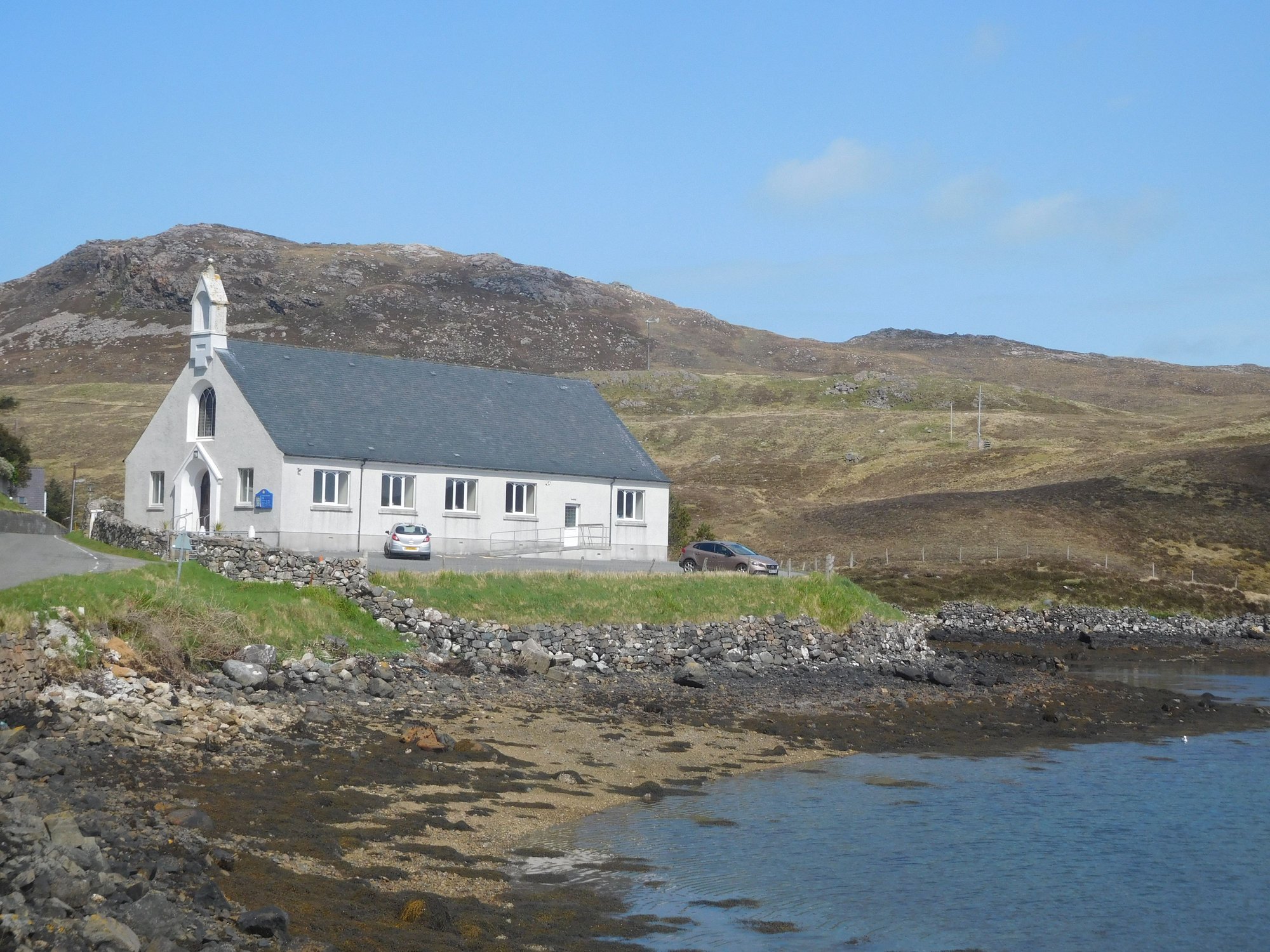
Church near Miavaig, what a setting
We then made our way back to Tarbert, absorbing more of Harris' gorgeous scenery en route and excited about what the next 2 days held in store!
En route to Tarbert
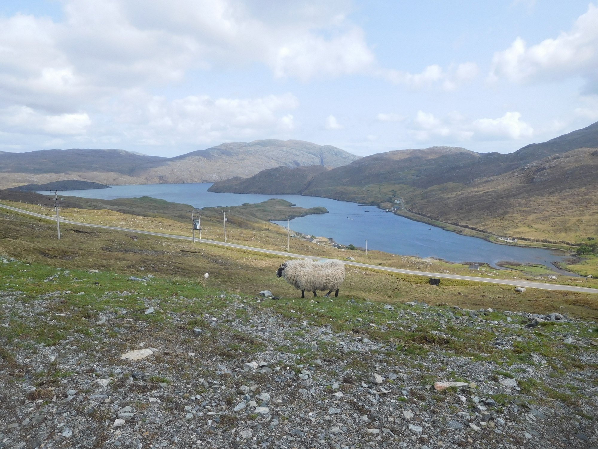
En route to Tarbert
What a day it had been � the Outer Hebrides made us feel we had been teleported into a different universe and time !
Our first stop was the very impressive Callanish Standing Stones, which predate the Stonehenge and make for an enthralling experience as you can walk amidst them. It�s unclear whether this was a ritualistic site or an astronomical observatory. There are a few minor sites Callanish 2 and Callanish 3 in the proximity as well.
At Callanish 1
At Callanish 1
At Callanish 1
Views from Callanish 1, visitor centre in the distance
Callanish 2
Callanish 2, from afar
Callanish 3
Callanish 3, from afar
Our next stop was the Dun Carloway Broch, built around 200BC and used as a defensive structure, providing refuge to people and their livestock. We made it out just before a bus arrived depositing a large tour group!
Climbing up to the broch
At the broch
Views from the broch
Our final stop on Lewis was the Garenin Blackhouse village, to get a preview of the traditional blackhouses with thatched roofs built in the 1800s across the Hebrides. Today, these serve as self catering accommodation!
Entrance area and reception
The village houses
Art gallery next door
We retraced back to Harris and joined the minor road B8011. As we approached Uig Bay, we visited the replica of 12th century chess pieces, erected close to the spot where an ivory carved set was discovered in the 1800s and possibly the oldest chess set in the world ! The Ardroil Beach at Uig Bay was staggering � white sands stretching as far as the eye could see, and the clearest blue water.
Chess piece exhibit by Uig Bay
Approach
Lots of coves
The beach
By the sea
Finally a family joins us
Our next stop was the wild and rocky beach at Mangersta. We had this beach to ourselves!
Mangersta
Mangersta
Along the beach
View of Mangersta, from parking
A short drive down the road brought us to the magnificent Mangersta sea stacks.
The stacks
Cliffs, with exposed pink stone - which I suspect makes for dramatic sunsets
As we headed back, we made a final detour through the Valtos peninsula to pass through the little villages of Cliff, Kneep and Reef with more stunning beaches and coastal landscape.
Beach at Reef
Beach at Cliff
Church near Miavaig, what a setting
We then made our way back to Tarbert, absorbing more of Harris' gorgeous scenery en route and excited about what the next 2 days held in store!
En route to Tarbert
En route to Tarbert
What a day it had been � the Outer Hebrides made us feel we had been teleported into a different universe and time !

