

Going-to-the-Sun Road
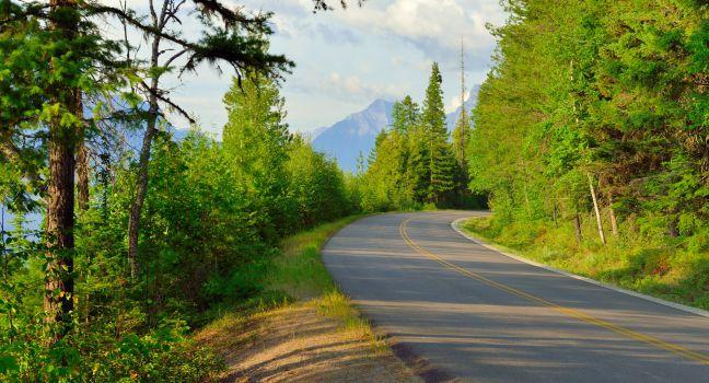
This magnificent, 50-mile highway—the only American roadway designated both a National Historic Landmark and a National Civil Engineering Landmark—crosses the crest of the Continental Divide at Logan Pass and traverses the towering Garden Wall. Open from mid-June to mid-September only (due to heavy snowfalls), this is one of the most stunning drives in Glacier National Park. A multiyear Sun Road rehabilitation project will result in some driving delays due to reconstruction. The drive is susceptible to frequent delays in summer. To avoid traffic jams and parking problems, take the road early in the morning or in the evening (when the lighting is ideal for photography and wildlife is most likely to appear). Glacier National Park Service operates a free hop on, hop off shuttle service from Apgar Visitor Centre to St. Mary Visitor Centre during the peak season. Vehicle size is restricted to under 21 feet long, 10 feet high, and 8 feet wide, including mirrors, between Avalanche Creek Campground and Sun Point. Cyclists enjoy traveling the open part of the road in early June before it is open to vehicular traffic.


